Steirer XC Trail
Tour description
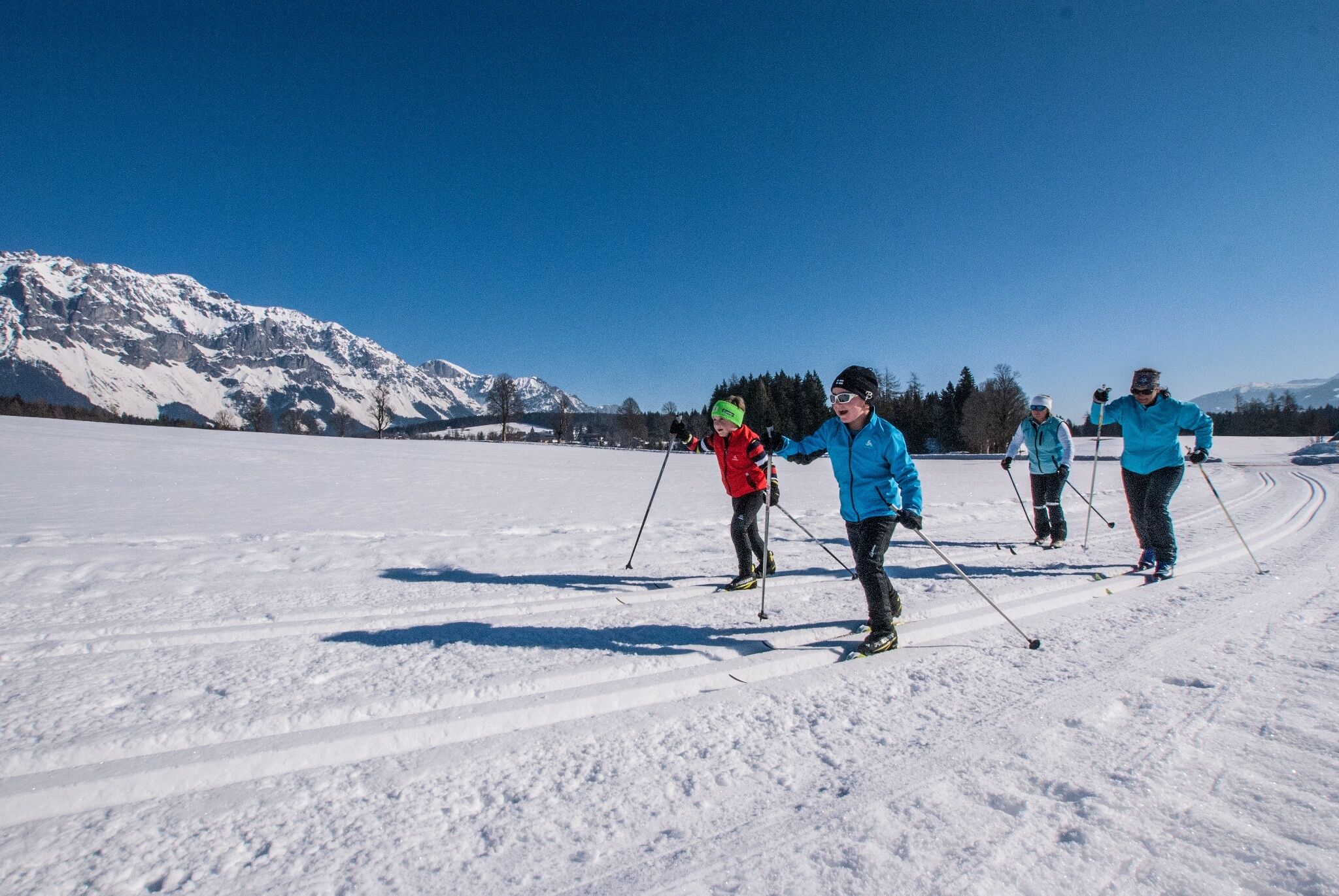
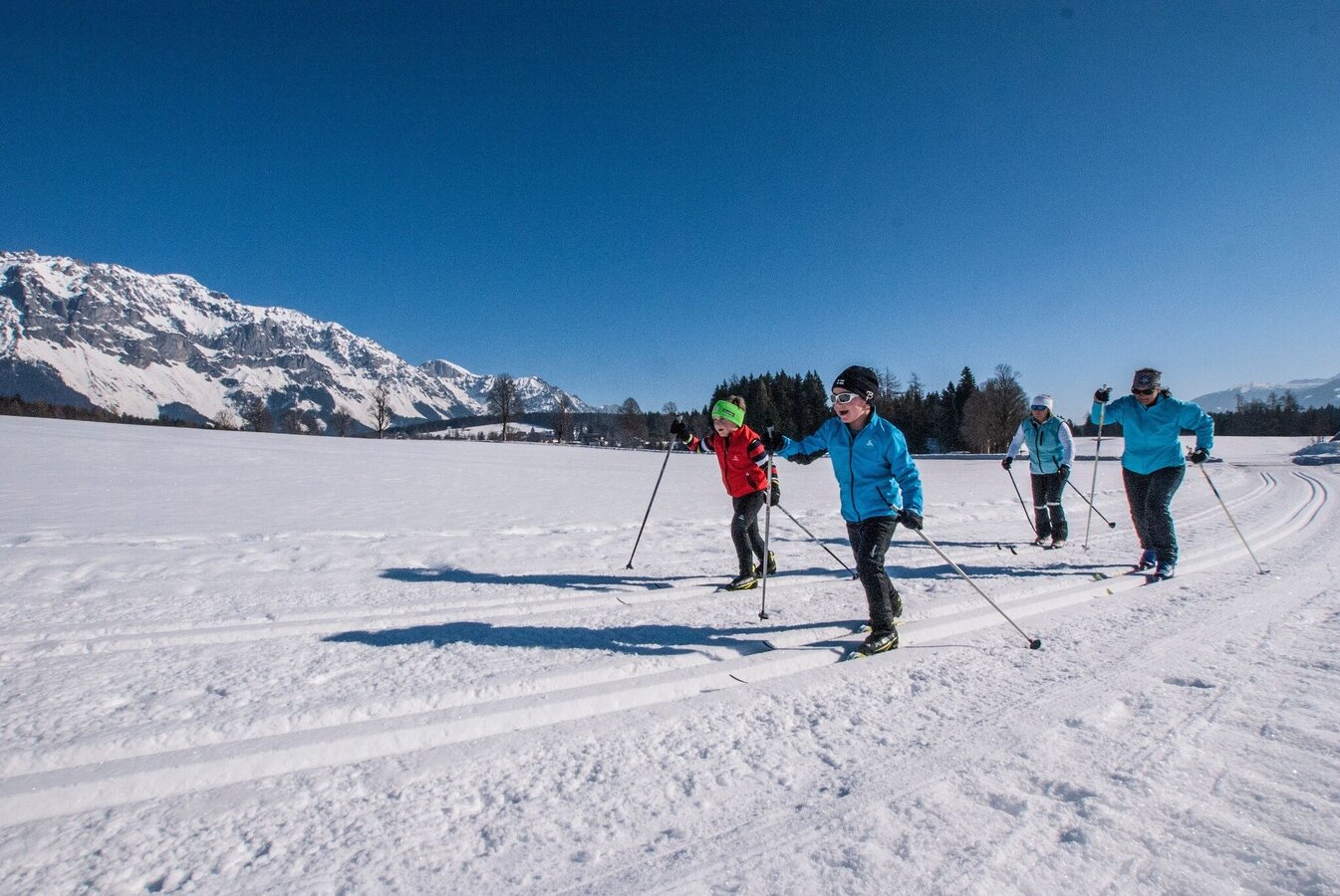
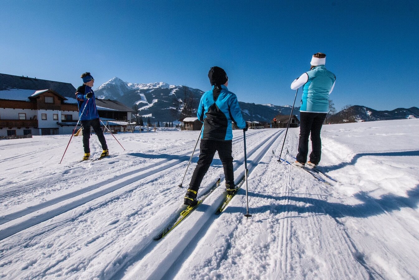
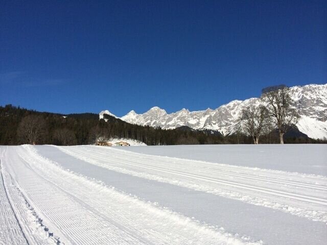
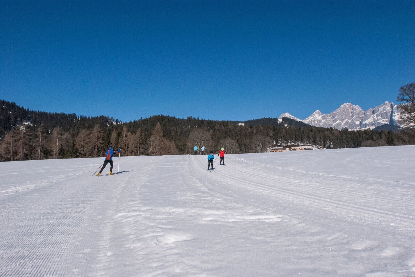
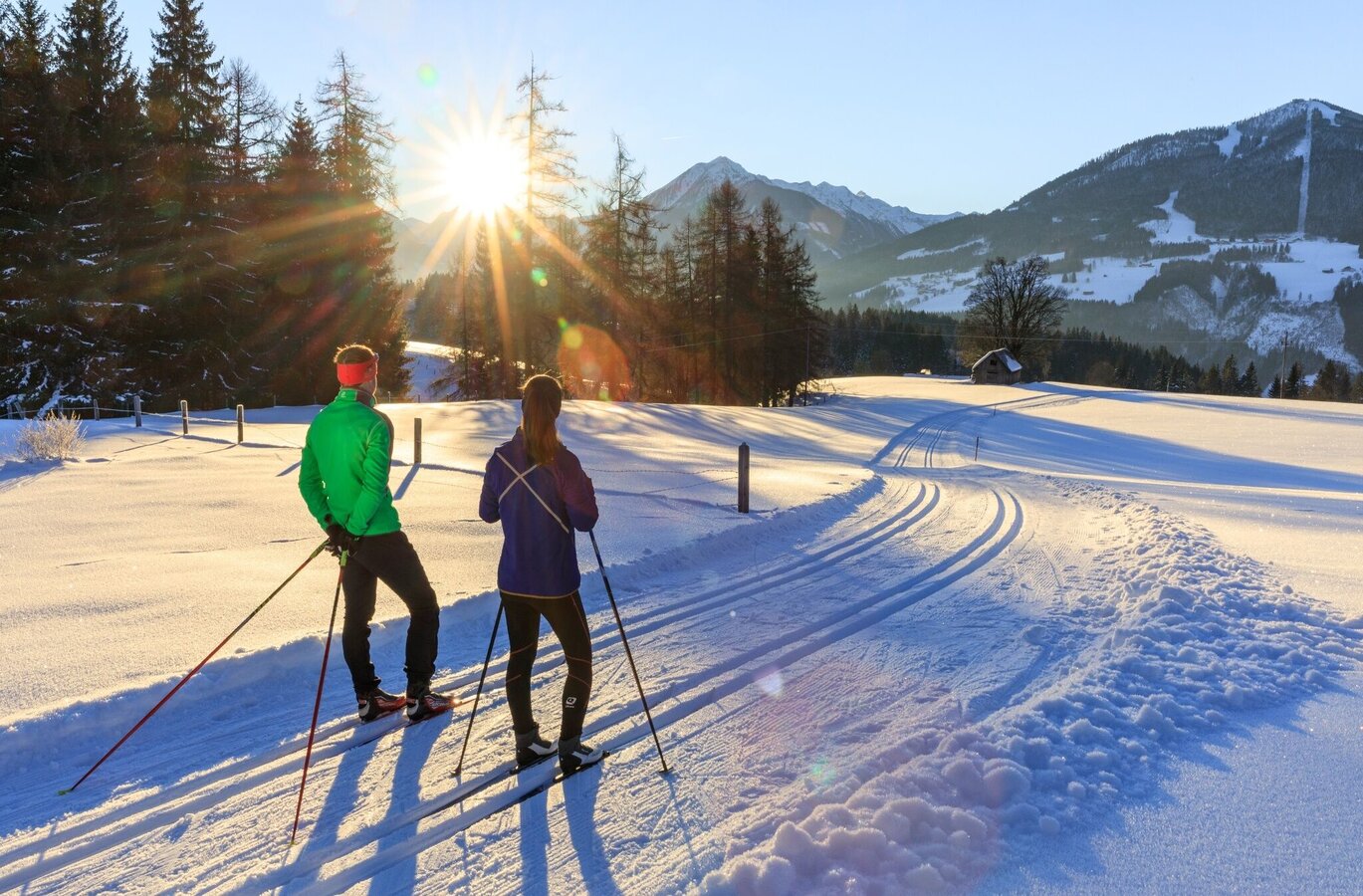
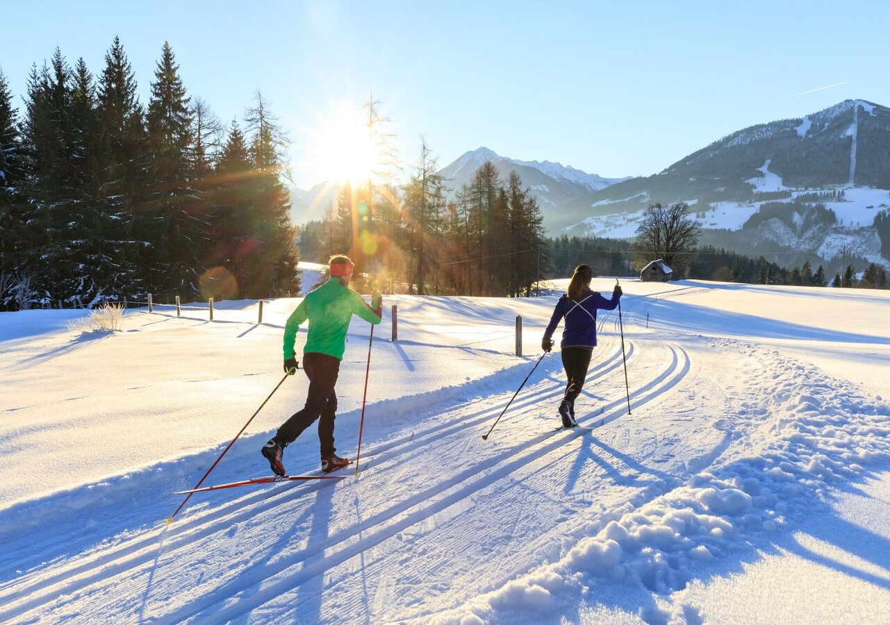
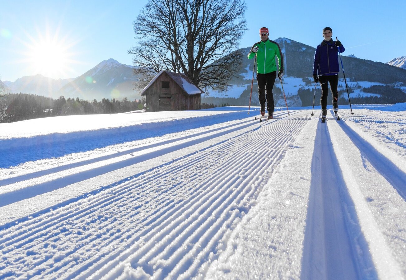
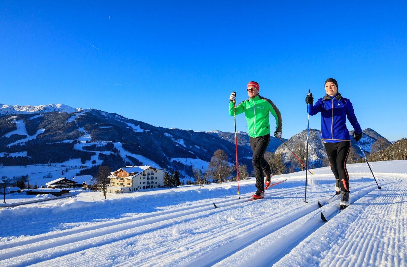
A cross-country trail for early birds – enjoy the sunrise on the Pichler Vorberg with views of Schladming's ski mountains. The trail is approximately 4.9 km long at an altitude between 1,040 and 1,130 m. Sporty climbs and descents, idyllic short forest sections, and across sunny meadows in Pichl-Vorberg. You can stop for a pleasant break at the "Jausenplatzl" at the Astlhof. Various entry points are possible:
- Wanderportal Rittisberg Süd-Greimelbacherhof, Ramsau am Dachstein
- Wanderportal & Parkplatz Arnika, Pichl-Vorberg
- Wanderportal Steirerhof, Pichl-Vorberg
The tour
Map, elevation profile & further information
The route varies depending on the starting point. If starting at the hiking portal Rittisberg-Süd - Greimelbacher, you head south through the forest towards Pichl-Vorberg, where you reach another possible starting point at the Vorberg-Arnika information portal. With a view of the Reiteralm opposite, continue past Bacherhof down to Astlhof and Faslhof, where you cross the road. Via a meadow loop and a winding forest descent, you head down to the entry point at Hotel Steirerhof. From there, the trail leads over to Brandstätterhof and ascends through a hollow back up to Faslhof and Astlhof. From there, return to the starting point and cross to the other side of the road through the forest to the Mooseghäusl junction (U) - here you can connect to the Vorbergloipe. From Moosegghäusl, a short, narrow section of trail leads back up to the Greimelbacher junction (V). Here you have a connection to the Halserloipe if you wish to extend your loop.
From the west: Tauernautobahn A 10 to the Ennstal interchange - exit towards Graz/Schladming - approx. 20 km on the Ennstal-Bundesstraße to Pichl. Take the exit from the B320 Ennstalbundesstraße and follow Vorbergstraße towards Pichl-Vorberg. Pass Hotel Steirerhof until you reach the "Arnika" hiking starting point.From the north: Pyhrnautobahn towards Liezen, Ennstalbundesstraße past Schladming to Pichl. Take the exit from the B320 Ennstalbundesstraße and follow Vorbergstraße towards Pichl-Vorberg. Pass Hotel Steirerhof until you reach the "Arnika" hiking starting point.
Public parking lot at Pension Arnika.
The starting point can be reached by ski bus - stop Pension Arnika.
Timetable at www.4berge.at
- Open cross-country trails at https://www.schladming-dachstein.at/geoeffnete-loipen
- Trail map Ramsau am Dachstein
Tourismusverband Schladming-Dachstein
Ramsauerstraße 756
8970 Schladming
T: +43 3687 23310
info@schladming-dachstein.at
- SCHLADMING-DACHSTEIN Winter Experience Map WEST. Available free of charge at tourist offices and accommodation providers.