


Untertal Between gorge and summit


Wilde Wasser in Untertal by Schladming
Where water rushes and nature shows its power
The Untertal is located in the Rohrmoos district, south-east of Schladming town center and is a popular hiking and excursion destination for nature lovers, hikers and families. Whether a leisurely hike, family excursion or alpine adventure - the Untertal shows nature at its most powerful and beautiful.
Highlights in the Untertal:
- Hike along the "Wild Waters" themed trail and discover thundering waterfalls, footbridges and viewpoints.
- Walk through a fascinating landscape of rare plants and moorland in the Tettermoor.
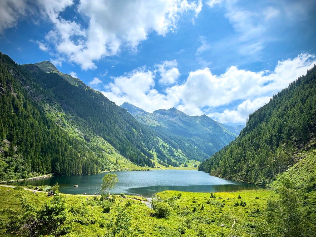
- Enjoy the clear mountain air at Riesachsee and admire the reflection of the peaks in the water.
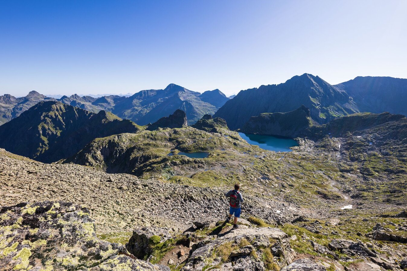
- Explore the high alpine Klafferkessel and experience the untouched beauty of the mountain world.
- Climb the highest mountain in the Niedere Tauern—the Hochgolling (2,862 m)—
Wild Waters
Natural Diversity in the Untertal Valley
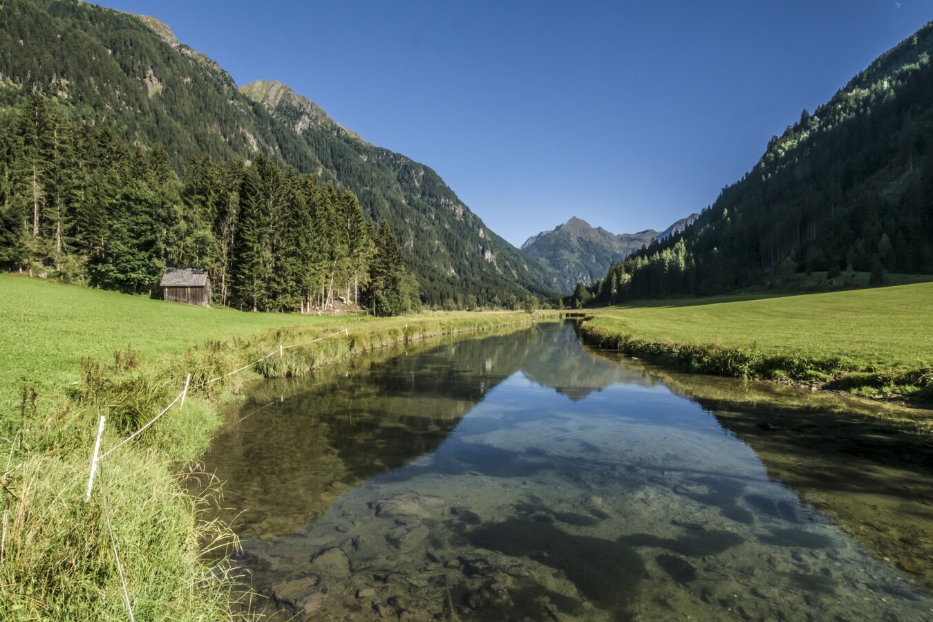
The Untertal valley is shaped by water and its impressive diversity. Along the Wilde Wasser themed trail, you follow the Talbach stream in 6 stages through a variety of natural landscapes – from the thundering Talbachklamm gorge to the peaceful, unspoilt areas around the Toteisboden and Tettermoor.
The Toteisboden fascinates with its natural system of channels and air vents dating back to the Ice Age, while the Talbach gently winds its way through the moorland of the Tettermoor. Further into the valley, the trail eventually leads towards the Riesach Waterfall.
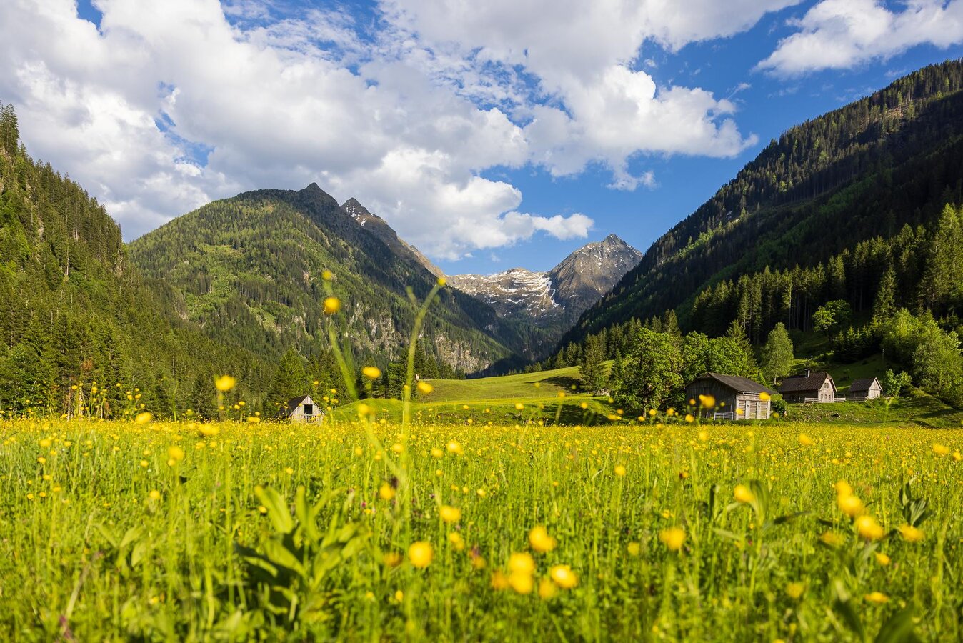
With its gorges, meadows, alpine pastures and moorlands, the Untertal valley reveals one of its most beautiful and diverse sides.
Highlights at a glance:
- 6 stages through the Untertal valley
- 16.7 km total length of the themed trail
- 50-meter suspension bridge on the “durch die Höll” Alpine Trail
- Awarded the title “National Geographic Hiking Trail”
- Easily accessible by bus, with several boarding and exit points along the Untertal valley


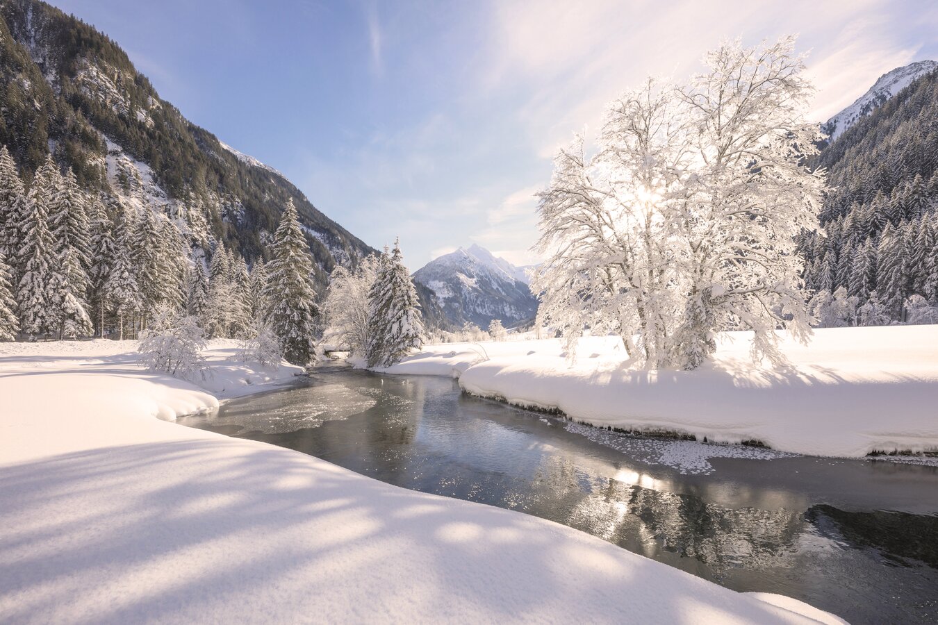
Winter hiking
The winter hiking trail in Untertal has been awarded the Styrian Hiking Seal of Quality and leads through a fantastic winter landscape.
On well-groomed paths, you hike along the stream, past snow-covered alpine pastures and impressive viewpoints - perfect for quiet hours in nature.
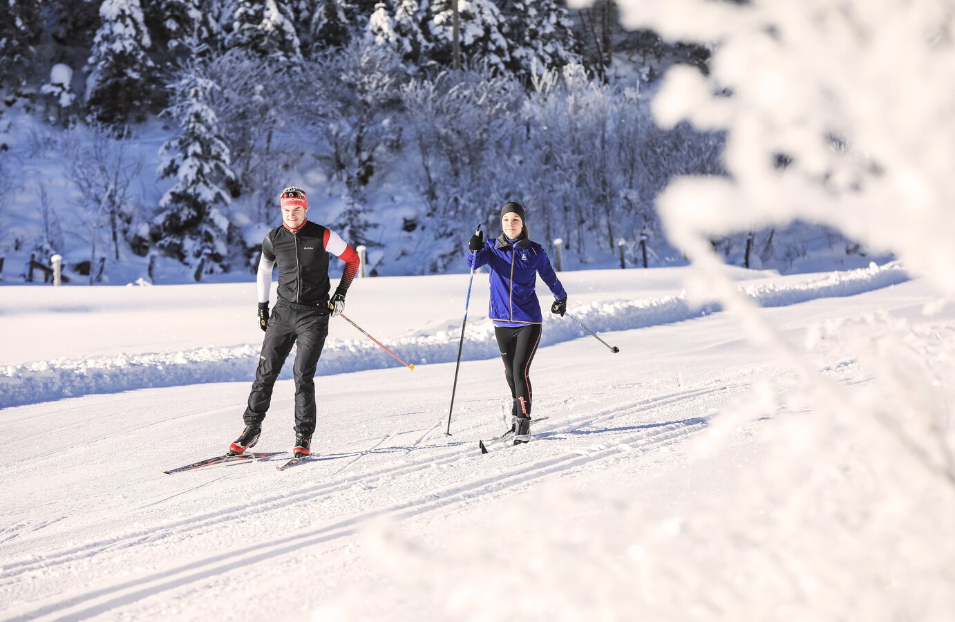
Cross-country skiing
The Kristallloipe, the Almenrunde and the Tettermoor skating trail have been awarded the Styrian cross-country ski trail seal of approval and inspire with different lengths and levels of difficulty.
Whether classic or skating - the trails lead through wide valleys and tranquil winter landscapes, surrounded by the imposing mountain scenery of the Schladminger Tauern.


Questions and answers
Lower valley
In summer, regular buses and hiking buses run from Schladming to Untertal and the starting points.
- Talbachklamm loop: Line 971
- Wild Water theme trail: Line 974
- Höll Alpine Trail: Line 974
- Untertaler Aussichtsrunde: Line 974
- Family hike: Line 974
- Königstour Klafferkessel: Line 974
Even in winter, the 974 bus line runs to the Waldhäuslalm, bringing hikers and cross-country skiers to the Untertal valley.
You can obtain a free bus timetable with all current connections from the information offices in the Schladming-Dachstein region or simply find out online.
The Alpine trail “through hell” takes you along the Riesach waterfall to Lake Riesach. The water thunders down 140 meters over two steps into the Untertal valley. It is the highest waterfall in Styria. The highlight of the trail is the 50-meter-long suspension bridge. The entire tour takes around 2 hours and 15 minutes.
(Not suitable for children under 8 years of age or dogs). The Alpine trail should only be used for ascending—do not descend along the Alpine trail!
- 50 m long suspension bridge
- Viewing platforms above the gorge
- Riesach waterfalls
- Riesach lake
- Klafferkessel
- Tettermoor
- Toteisboden
- Golling Winkel
- Hochgolling
- Riesachfall Alpine Inn
- Gfölleralm
- Kaltenbachalm
- Sondl-Alm
- Michlbauer Inn
- Walshäuslalm
- Weiße Wand Inn
The Wilde Wasser themed trail takes you through the Untertal valley and lets you experience the many facets of water – from the rushing Talbach stream and tranquil moorlands to the impressive Riesach Waterfall.
Along the trail, you’ll discover a variety of special natural highlights, including the Talbach Gorge, the Toteisboden, the Tettermoor and the Riesach Waterfall. Along the way, water reveals its many different sides – from calm and gentle to powerful and roaring.
The Toteisboden impresses with its natural channel and ventilation system dating back to the Ice Age, while the Talbach stream winds gently through the moorland of the Tettermoor. Both places showcase the quieter, more pristine side of Wilde Wasser.
Yes. The Wilde Wasser themed trail is divided into 6 stages and can also be explored section by section, depending on your time and fitness level. Various access points along the route allow you to plan your hike individually.