Türlwand-Hochwurzen Tour
easy Trekkingbike tour · Schladming
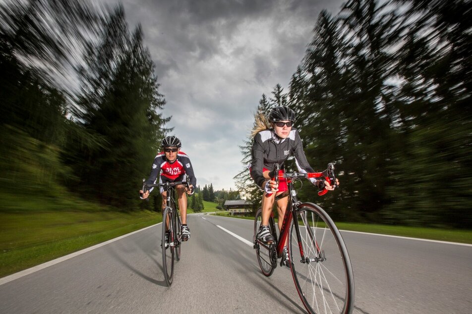
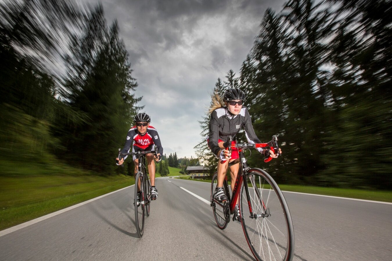
Gallery

From the starting point in Haus, follow Schlossplatzstraße until it joins Marktstraße. Follow Marktstraße to the Hauser Kaibling valley station.
Cross under the main road and continue on Weißenbachstraße to Weißenbach bei Haus. After 1.5 km you will reach the centre of Weißenbach. Turn left before the Weißenbach bridge and follow the road in the direction of Birnberg and Ramsau-Rössing. The road climbs slightly for about 4 km to Birnberg before continuing - still with a slight gradient - for 2 km to Ramsau-Rössing. Follow the Rössinger Landesstraße. After 4 km turn right at the end of the road in the direction of Ramsau Ort.
Cross the village and stay on the L711 for 4 km. Turn right at Walcherhof and follow the Begleitweg to Dachsteinstraße. The road climbs steeply up the mountain in serpentines. After 5 strenuous kilometres the highest point of the tour is reached - the valley station of the Dachstein cable car.
The return route takes the same route back to the Ramsauer Landesstraße and then back towards Ramsau Ort. Turn right at Inn Brückenhof and follow the road slightly downhill for about 2 km to Ramsau Vorberg. Turn right at the junction in Vorberg and follow Vorbergstraße for 3 km to Pichl. In Pichl cross the underpass of the Ennstal main road and then pass the Pichl lake resort in the direction of Preunegg.
Follow Preuneggstraße for 5 km until you reach Ursprungstraßen-Maut. Do not drive through the toll station at this point, but take the bend in the direction of Rohrmoos. Follow the road for 5 km, past the Hochwurzen valley station and through Rohrmoos. At the roundabout take the second exit in the direction of Schladming and follow the serpentines downhill to Schladming.
When you reach Schladming, take the first turn to the right before the roundabout. Follow the road and cross the Talbach stream, then stay on the road for 700 metres until you reach the Planai valley station. Turn left into Coburgstraße and enter the roundabout. Take the second exit. At the next roundabout take the second exit again, pass under the main road and follow Unteren Klausstraße for 2 kilometres. Turn right at the end of the road and cross the old federal road through the Hauser district of Lehen.
Follow the road for 3 km back to the starting point.
- Bike helmet
- Biking clothes
- Enough to drink
- Rain gear
Tourism office Haus-Aich-GössenbergSchlossplatz 47 A-8967 Haus im Ennstal Phone: +43 (0) 3686/223434office@haus.atwww.haus.at


