St. Nikolai - Rudolf-Schober-Hütte - Breitlahnalm
moderate Dog · Naturpark Sölktäler
Enacted wildlife sanctuary! Walking in the valley is only possible up to the bridge in front of the Bräualm huts!
From November 1, 2022 the access road to the Breitlahnalm will be closed. In case of snowfall, the road can be closed earlier by the municipality due to avalanche danger.
The road to the Breitlahnalm is closed from Kohlung due to avalanche danger!
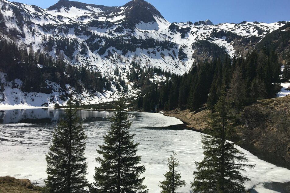
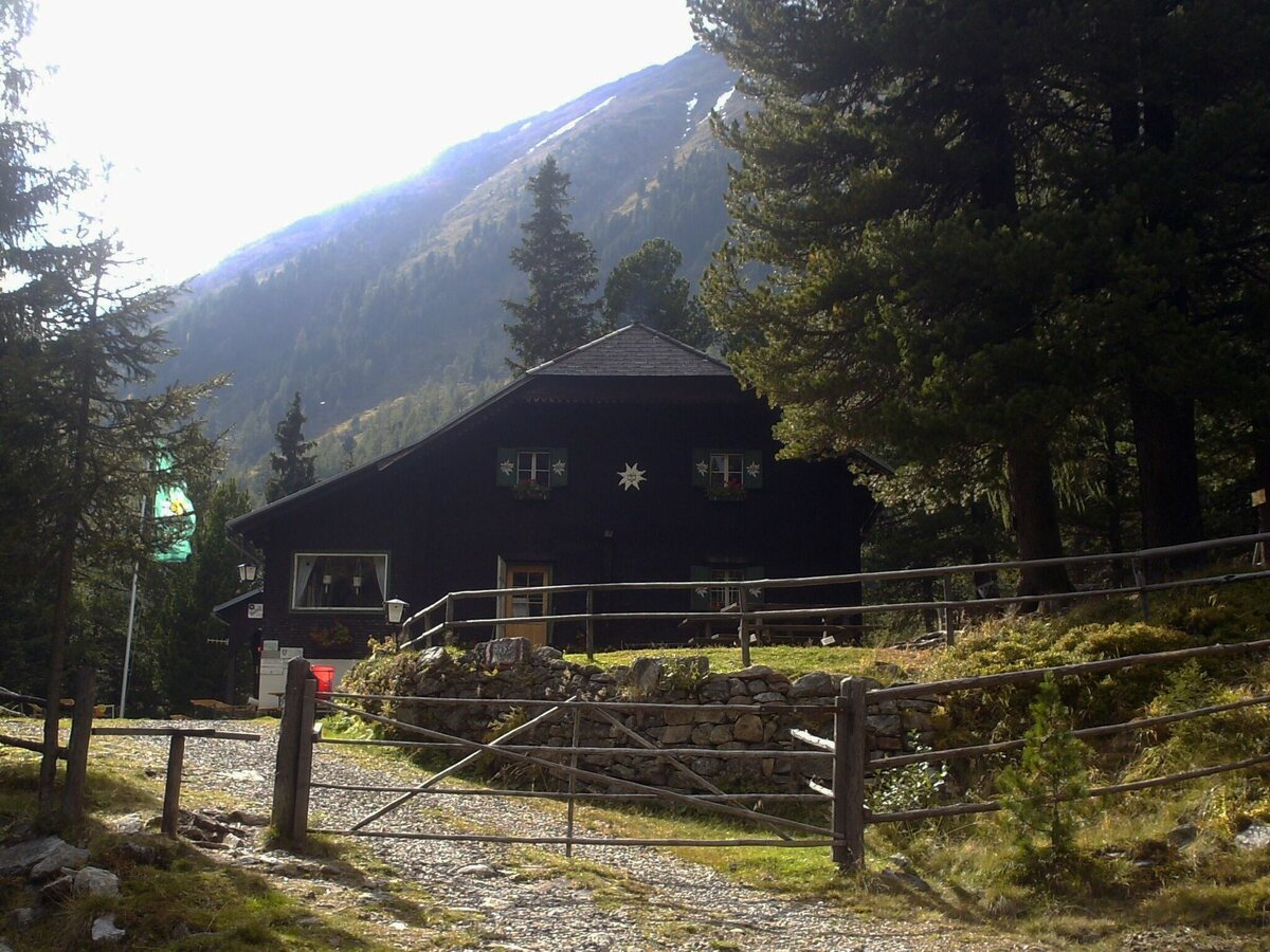
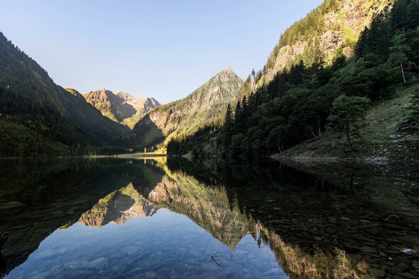
Gallery
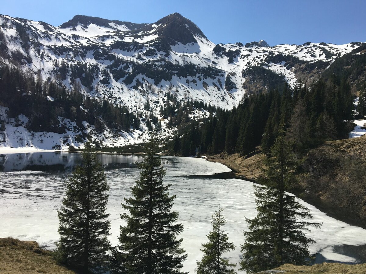
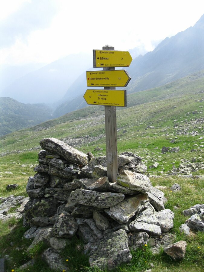
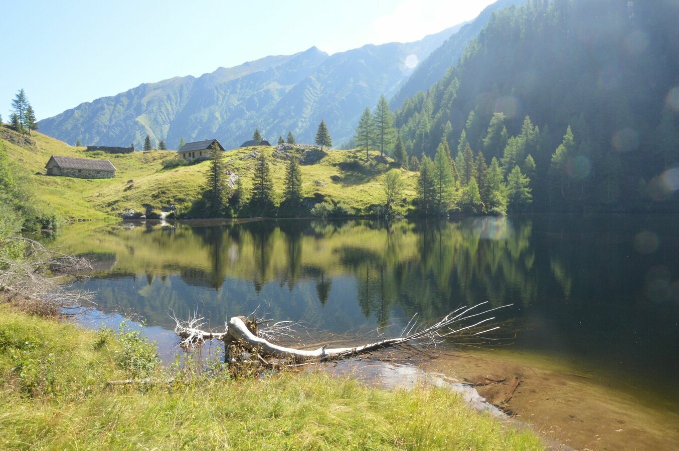


Day 1:Starting point St. Nikolai in the Sölktal village, here again there is a large parking lot where you can leave your car. From St. Nikolai you go towards Bräualm and Dürrmoos waterfall, from there to Hohensee. From Hohensee we continue towards Süßleiteck, to Schimpelscharte. From there you reach the Rudolf-Schober-Hütte, the overnight accommodation.
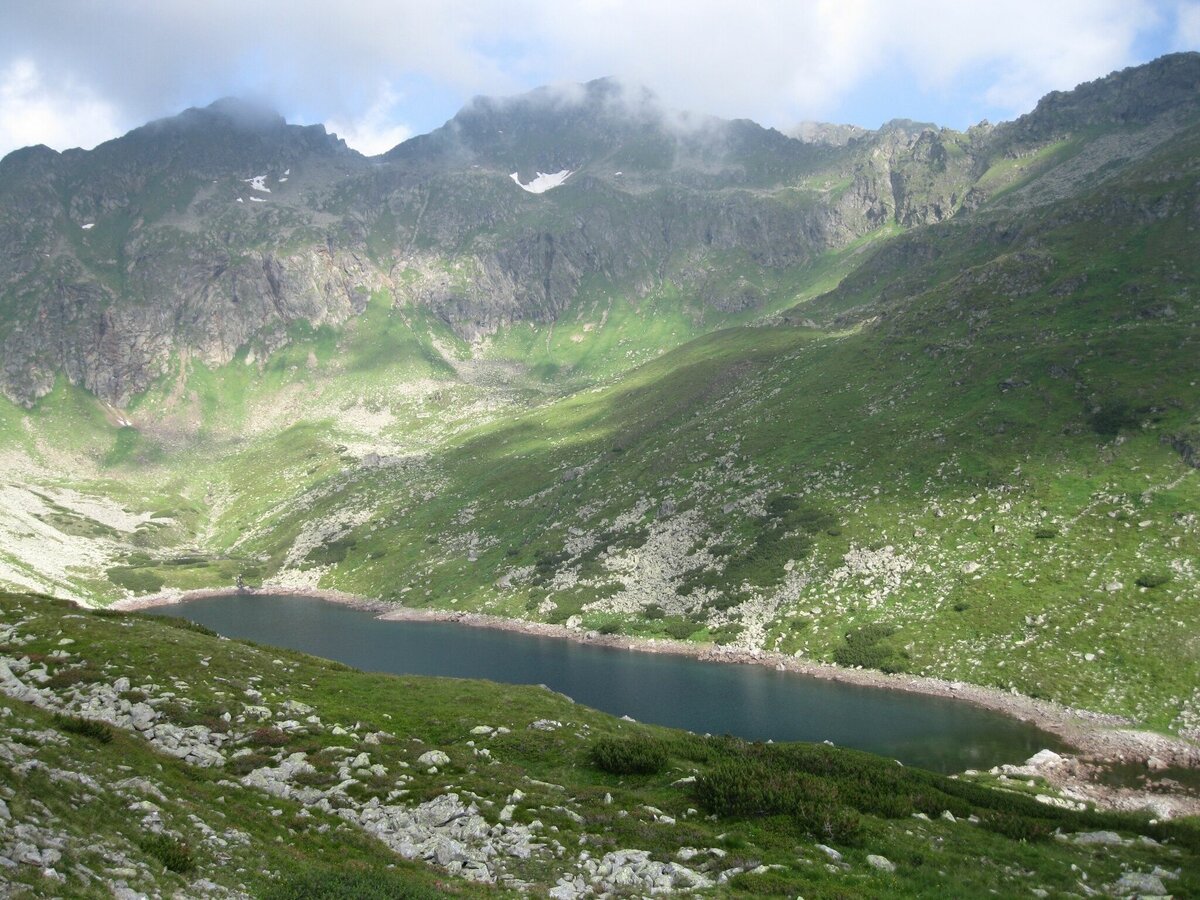
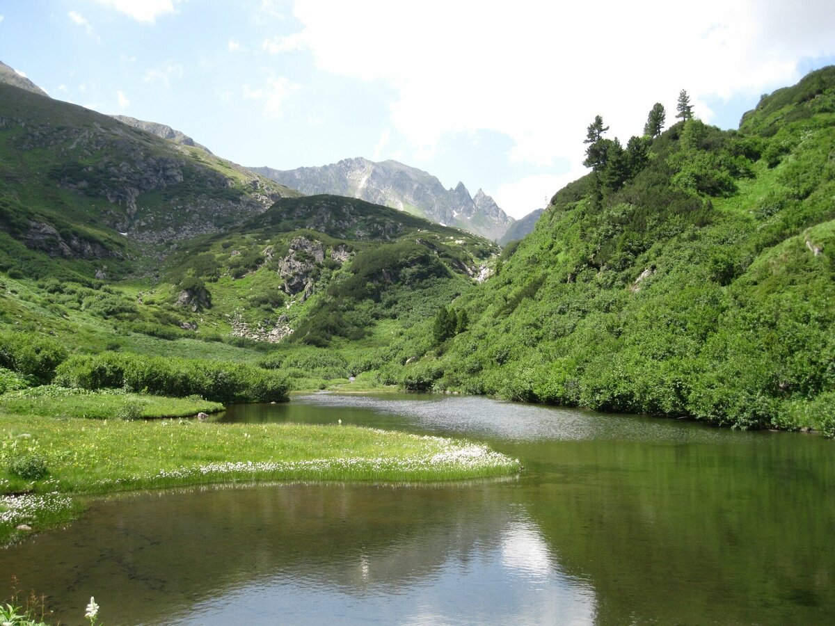
Day 2: The second day starts at the Rudolf-Schober-Hütte, from there it goes towards the Etrachsee to the Schöttelhütte and on to the Hubenbauertörl, from there to the Hinterkarscharte and on to Rantentörl. From there we go to the Breitlahnalm. Here you would need the possibility to get back to your car in St. Nikolai.
The Tälerbus runs in the summer season (09.07. - 11.09.2022) on weekdays between Gröbming - Stein/Enns and the Sölkpass into the Murtal or from Stein/Enns to the Breitlahnhütte/Schwarzensee. The valley buses are minibuses with 8 seats. Groups therefore please be sure to register the day before!
Alternative NEIGHBORHOOD: From summer 2022 no overnight stay in the Breitlahnhütte is possible - except in the campsite outside the Breitlahnhütte with advance notification by Whats app (+43 664 46 64 798 or +43 664 13 79 293)! Bring your own sleeping bag and breakfast. (managed alpine pastures nearby) - Note the opening hours - you can find more details here.
Putzentalalm: Mountaineer's quarters - overnight stay possible! Simone and Reinhard Ladreiter +43 664 92 62 200 or hasenreini@gmail.com
This 2-day tour is an alpine mountain hike with some exposed spots. This year you have to pay special attention to still existing snowfields!
Changes in weather patterns, quick falls in temperature, thunderstorms, wind, fog and snow are some of the dangers that can be encountered on a hiking tour. Hosts of alpine huts and mountain refuges have a lot of experience in the mountains and can give good advice about weather and the trails. Poor equipment, overestimation of one's own capabilities, carelessness, poor personal constitution and/or wrong judgement can lead to critical situations. In case of thunderstorms: avoid summits, ridges and steel ropes.
GPS data and orienteering
Available GPS data - just like hiking maps - is only a guidance for orientation and can never depict a trail exactly with all its details. Especially at dangerous spots it is essential to judge on site how to proceed.
In an emergency please call:
140 - for Alpine emergencies (all over Austria)
112 - European GSM emergency number
This 2-day tour is an alpine mountain hike with some exposed spots. This year you have to pay special attention to still existing snowfields!
Changes in weather patterns, quick falls in temperature, thunderstorms, wind, fog and snow are some of the dangers that can be encountered on a hiking tour. Hosts of alpine huts and mountain refuges have a lot of experience in the mountains and can give good advice about weather and the trails. Poor equipment, overestimation of one's own capabilities, carelessness, poor personal constitution and/or wrong judgement can lead to critical situations. In case of thunderstorms: avoid summits, ridges and steel ropes.
GPS data and orienteering
Available GPS data - just like hiking maps - is only a guidance for orientation and can never depict a trail exactly with all its details. Especially at dangerous spots it is essential to judge on site how to proceed.
In an emergency please call:140 - for Alpine emergencies (all over Austria)112 - European GSM emergency number
Take rainproof and warm clothes and enough water, possibly also a snack, wear shoes with non-slip profile soles. A first aid kit should also be in your backpack.
SummitLynx- Your digital summit and hut book - available worldwide and always with you!
In summer there are numerous alpine huts in the valleys and invite you to stop for a break.
For more information please contact the Tourist Office Schladming DachsteinInformation office Nature Park Sölktäler:
Phone: +43 3687 23310 501naturpark@soelktaeler.comStein an der Enns 1078961 Sölk


