


Grimming-Donnersbachtal
Way from the Castle Pichlarn
Hiking trail
Data:
Tour description
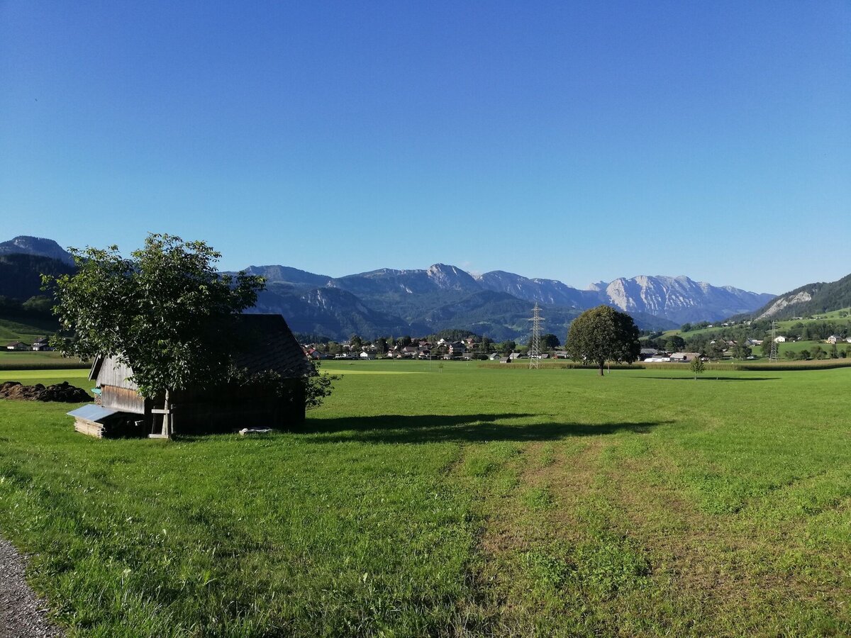
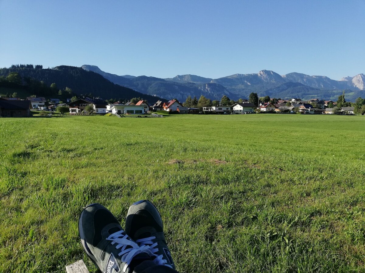
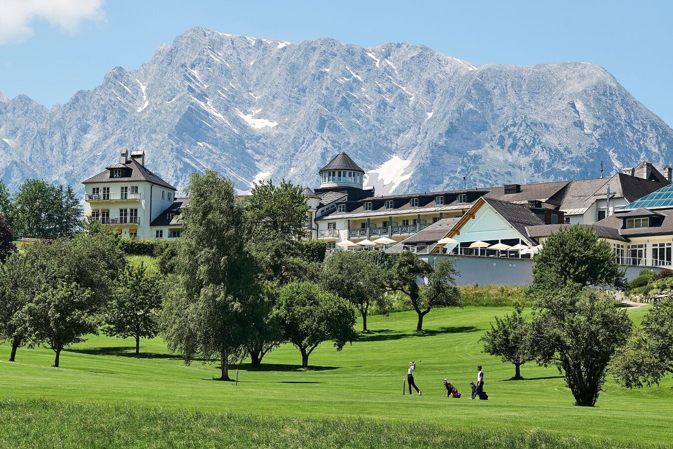
FROM AND TO THE CASTLE. You start from the Imlauer Schloss Hotel Pichlarn and stroll leisurely along the golf course. Watching the game is of course allowed. Via Gatschen and Lantschern you come back to the starting point.
The tour
easy
Starting and end point
Hotel Castle Pichlarn
Tour characteristics
Distance: 5.2 km
Information
Distance: 5.2 km
Duration:
1:30 h
Ascent: 70 m
Descent: 70 m
highest point: 743 m
Best season
Jan
Feb
Mar
Apr
May
Jun
Jul
Aug
Sep
Oct
Nov
Dec
Map, elevation profile & further information
From the parking lot at Schloss Pichlarn, follow the marking trail. You stroll leisurely past the golf course, walk along the road with little traffic to the Steiner farm and on to Gatschen. Via Lantschern you return to Pichlarn Castle.
Way number: 10
In Wörschach or Trautenfels leave the Ennstalbundesstraße (B320) and continue to Irdning or Aigen. Now follow the signs to Pichlarn Castle.Parking at the Hotel Castle Pichlarn
There gives no puplic transport.
- Plan your trip in advance, taking into account walking time, distance, elevation gain, hazards, and weather reports.
- Let others know where you are going and when you want to be back.
- Turn back in good time if the weather deteriorates. If you are caught in a thunderstorm, stay away from free-standing trees and wait out the storm, crouching if possible.
- Stay on marked trails and remember to close pasture fences.
- If you are a dog owner: Clarify before the hike if you need to cross a pasture. Keep your dog on a leash and make sure it stays calm. If a cow attacks, let the dog off the leash immediately. Never pick him up to defend him.
Take a break in the ,,Restaurant 19'' in German (,,Golfstüberl'') and look at the Golfers.Tourism information: www.schladming-dachstein.at
Schladming-Dachstein Tourist Office
Ramsauerstraße 756
8970 Schladming
T: +43 3687 23310
info@schladming-dachstein.at
Schladming-Dachstein Tourist Office
Ramsauerstraße 756
8970 Schladming
T: +43 3687 23310
info@schladming-dachstein.at
- SCHLADMING-DACHSTEIN Hiking EAST. Available free of charge from tourist offices and accommodation providers.
- SCHLADMING-DACHSTEIN Hiking Map 1:50,000


