


Grimming-Donnersbachtal
Roundway Heiligenbrunn
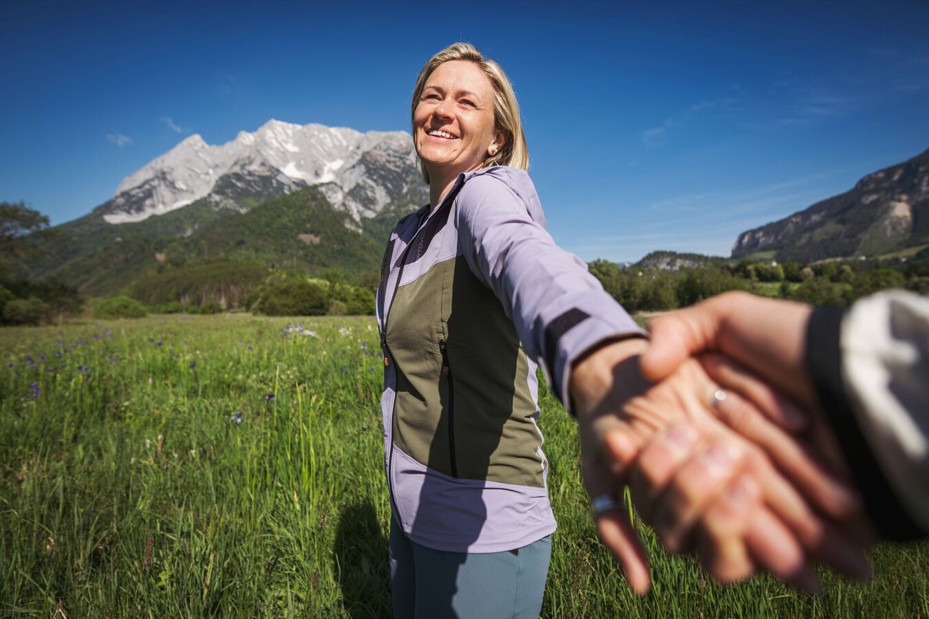
Hiking trail
Data:
Tour description
This hike leads via the Capuchin monastery to Altirdning, where a gravel path leads into the forest at the end of the village. Slightly downhill from here to Heiligenbrunn - a Celtic cult site with chapel and well, where healing spring water (especially for the eyes) flows. Via a steep path you descend to the road, continue to the Enns and back to the village.
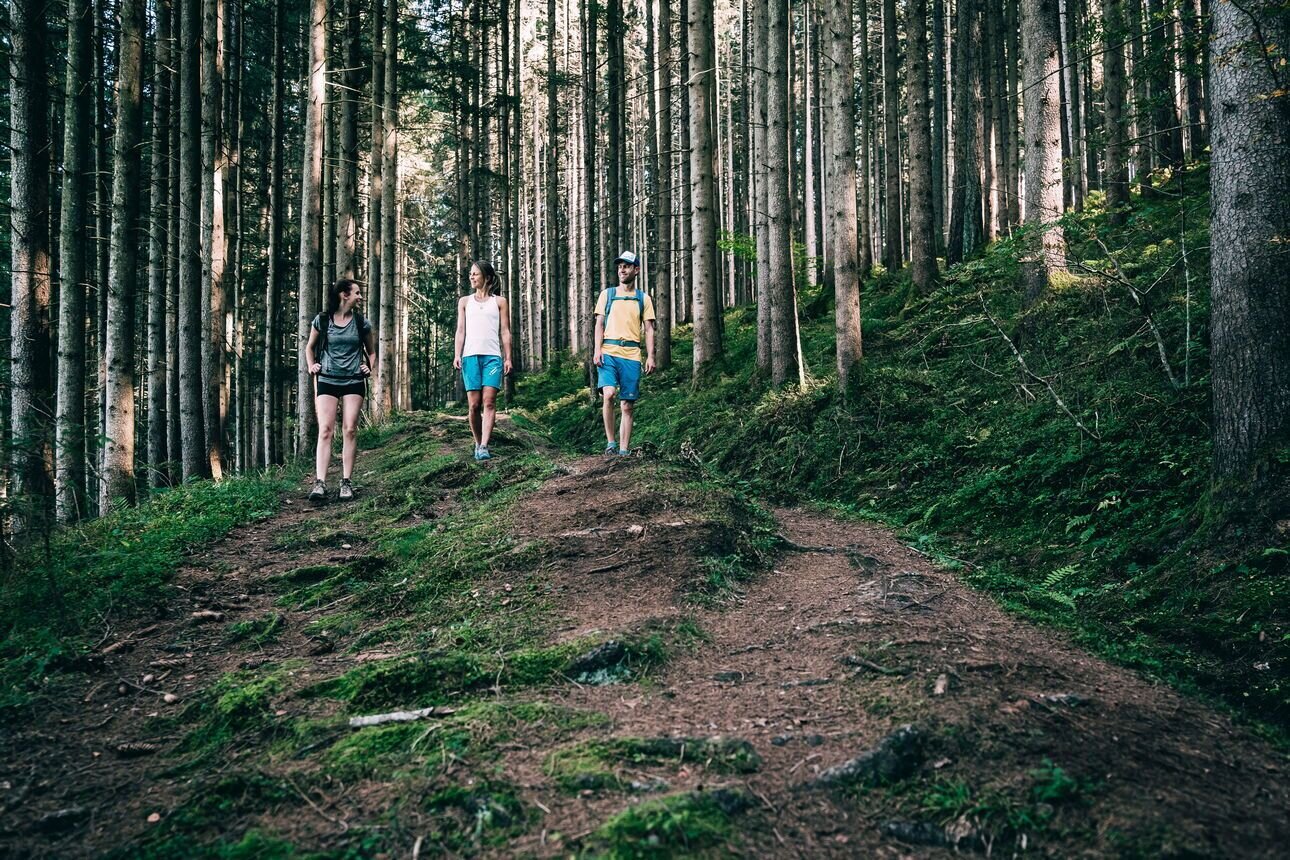
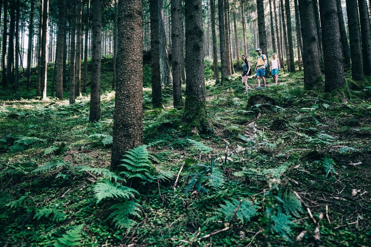
The tour
easy
publicly accessible
Starting and end point
Tourism office Irdning
Tour characteristics
Distance: 7.7 km
Information
Distance: 7.7 km
Duration:
2:30 h
Ascent: 65 m
Descent: 65 m
highest point: 696 m
Best season
Jan
Feb
Mar
Apr
May
Jun
Jul
Aug
Sep
Oct
Nov
Dec
Map, elevation profile & further information
Starting from the tourist office, follow the signposted path past the Capuchin monastery, along the slightly sloping path to the road to Donnersbach, which you cross. Follow the road to Raumberg until it begins to rise. Now turn right, past the houses and the fire station of Altirdning, shortly after turn left over a small bridge. At the end of the bridge, walk along a gravel path to the beginning of the forest. To the right, you can take a detour to the Nature.Power.Place on Heidenhügel.
About 100 m further on, turn right and follow a small forest path slightly downhill until you reach the Heiligenbrunn with the chapel next to it. The water is said to have healing properties, so it is worthwhile to drink enough here and especially to wash your eyes! Follow the path downhill to the road, cross it and continue to the Enns. Then keep to the right and walk along the river to the gravel path. Turn left and cross the small bridge. Walk along the meadow until you reach the main road, which you cross again. Now follow the signs and hike back to the starting point.
About 100 m further on, turn right and follow a small forest path slightly downhill until you reach the Heiligenbrunn with the chapel next to it. The water is said to have healing properties, so it is worthwhile to drink enough here and especially to wash your eyes! Follow the path downhill to the road, cross it and continue to the Enns. Then keep to the right and walk along the river to the gravel path. Turn left and cross the small bridge. Walk along the meadow until you reach the main road, which you cross again. Now follow the signs and hike back to the starting point.
Way number: 3
At Trautenfels or Wörschach turn off the B320, direction Irdning, village center.Free Parking on th other side of the tourism office.
With the bus940/941 to the bus stop ,,Irdning Busbahnhof'', here is also the tourism office-the start point.
http://www.verbundlinie.at/
http://www.verbundlinie.at/
The next trainstation ,,Stainach-Irdning'' is far away 5 kilometers.
http://www.oebb.at/
- Plan your trip in advance, taking into account walking time, distance, elevation gain, hazards, and weather reports.
- Let others know where you are going and when you want to be back.
- Turn back in good time if the weather deteriorates. If you are caught in a thunderstorm, stay away from free-standing trees and wait out the storm, crouching if possible.
- Stay on marked trails and remember to close pasture fences.
- If you are a dog owner: Clarify before the hike if you need to cross a pasture. Keep your dog on a leash and make sure it stays calm. If a cow attacks, let the dog off the leash immediately. Never pick him up to defend him.
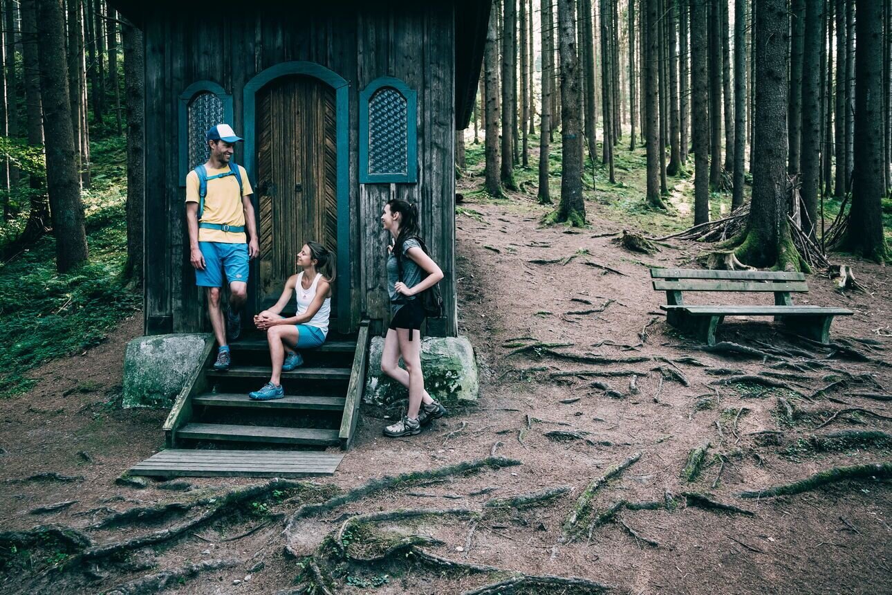
Nature.power.places. Heiligenbrunn and Heidenhügel
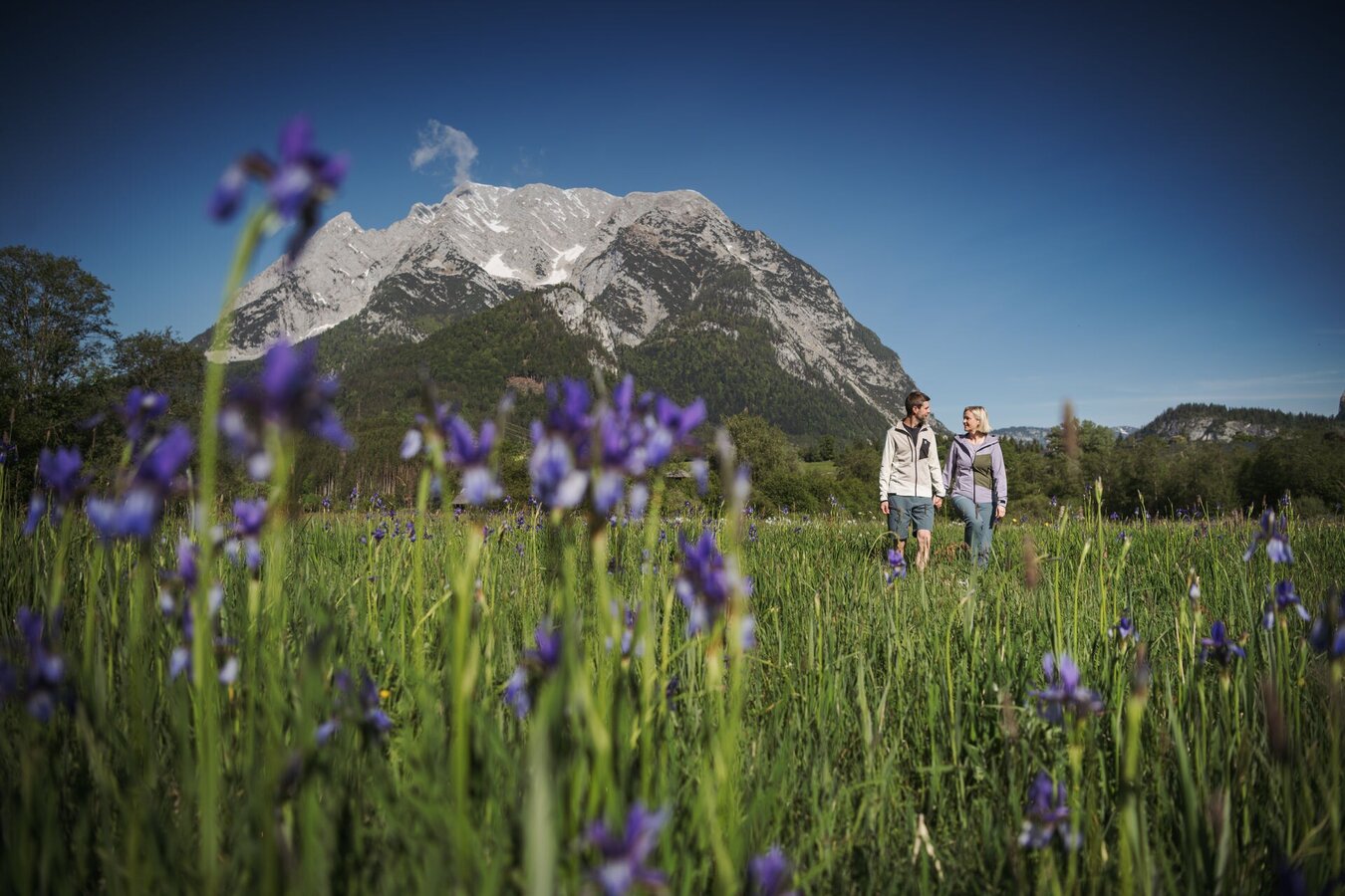
From May to June, you can look ath the Siberian Iris.Tourism information: www.schladming-dachstein.at
From May to June, you can look ath the Siberian Iris.Tourism information: www.schladming-dachstein.at
Schladming-Dachstein Tourist Office
Ramsauerstraße 756
8970 Schladming
T: +43 3687 23310
info@schladming-dachstein.at
- SCHLADMING-DACHSTEIN Hiking EAST. Available free of charge from tourist offices and accommodation providers.
- SCHLADMING-DACHSTEIN Hiking Map 1:50,000


