


Grimming-Donnersbachtal
Hochbrückenway
Hiking trail
Data:

Tour description
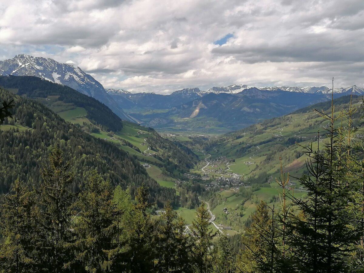
An easy circular trail with a wonderful view in the direction of Planneralm and the Donnersbachtal. The place with hut and fish ponds literally invites you to rest. A hike, partly on forest and forest paths, which is well suited for the whole family and incidentally has one or the other small brook ready, which ripples with joy before itself.
The tour
easy
Starting and end point
Ertlschwaigerhouse
Tour characteristics
Distance: 3.9 km
Skills (2/6)
Information
Distance: 3.9 km
Duration:
1:30 h
Ascent: 160 m
Descent: 160 m
highest point: 1093 m
Best season
Jan
Feb
Mar
Apr
May
Jun
Jul
Aug
Sep
Oct
Nov
Dec
Map, elevation profile & further information
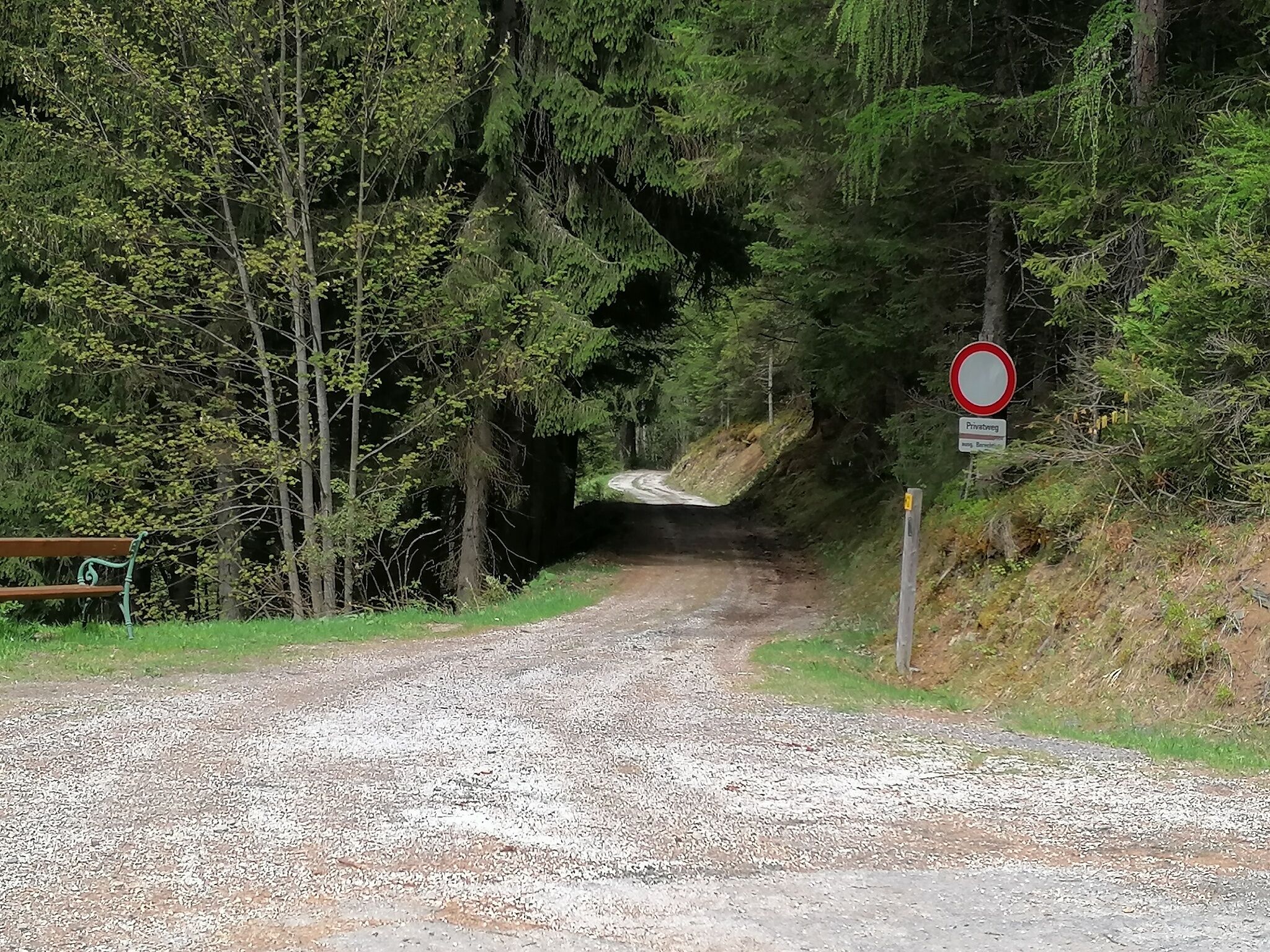
From the Ertlschweigerhaus, the path leads in the direction of Furrach on the old Planneralm road. Walk along this road for about 800 meters until you reach a bend, where you turn left according to the signs. Continue straight ahead. Pass the yellow house and after a short while you will see a wooden stadel on the right side. Take your time to sit on the bench in front of it and enjoy the view.
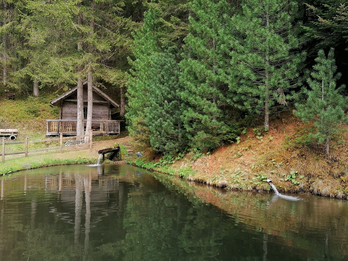
Back on the path, after about 500 meters you come to the next bend. Here you turn left onto the forest road. A few steps later, at the bench, you will be offered a magnificent view of the Donnersbach Valley. The path continues to the next signpost, where you turn left onto a narrow forest path, downhill to a hut and the fish ponds. A wonderful place to rest again before you continue downhill along the meadow path and come back to the starting point.
Way number: 6
From Trautenfels or Wörschach leave the B320 in the direction of Donnersbach. In the village of Donnersbach drive approx. 4 km in the direction of Planneralm until you reach the Ertlschweigerhaus. A small parkigplace before the Ertelschwaigerhouse.
Good shoes, clothes and a backpack for a snack.
- Plan your trip in advance, taking into account walking time, distance, elevation gain, hazards, and weather reports.
- Let others know where you are going and when you want to be back.
- Turn back in good time if the weather deteriorates. If you are caught in a thunderstorm, stay away from free-standing trees and wait out the storm, crouching if possible.
- Stay on marked trails and remember to close pasture fences.
- If you are a dog owner: Clarify before the hike if you need to cross a pasture. Keep your dog on a leash and make sure it stays calm. If a cow attacks, let the dog off the leash immediately. Never pick him up to defend him.
Take a break a the one or other bench on the way.Tourism information: www.schladming-dachstein.at
Tourist Office Schladming-Dachstein
Ramsauerstrasse 756
8970 Schladming
T: +43 3687 23310
info@schladming-dachstein.at
- SCHLADMING-DACHSTEIN Hiking EAST. Available free of charge at tourist offices and lodging establishments.
- SCHLADMING-DACHSTEIN Hiking Map (1:50.000)


