


Grimming-Donnersbachtal
Fisherway Trail
Trailrunning
Data:
Tour description
New to cross-country running? Then try this commuting route. It starts in the center of Donnersbach and is part of the Obermoser Trail. We find: The ideal way to get a taste of the best trail running air and catch fire. It's worth a try!
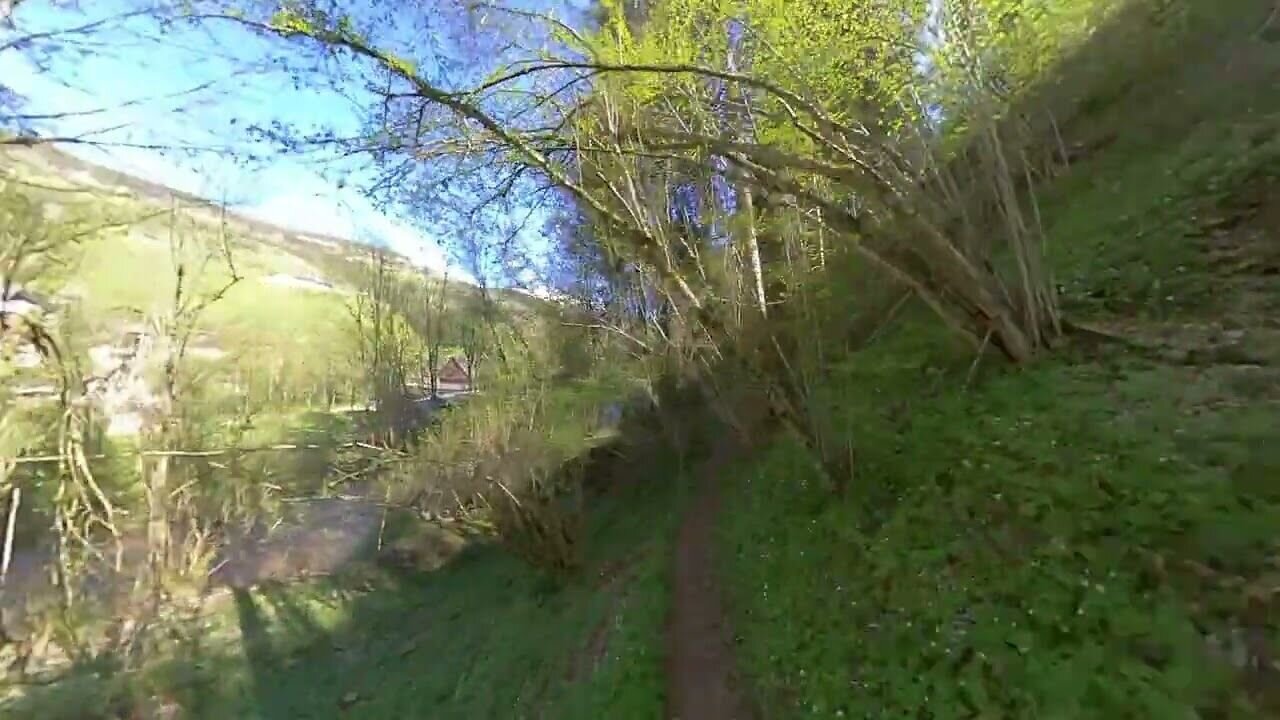
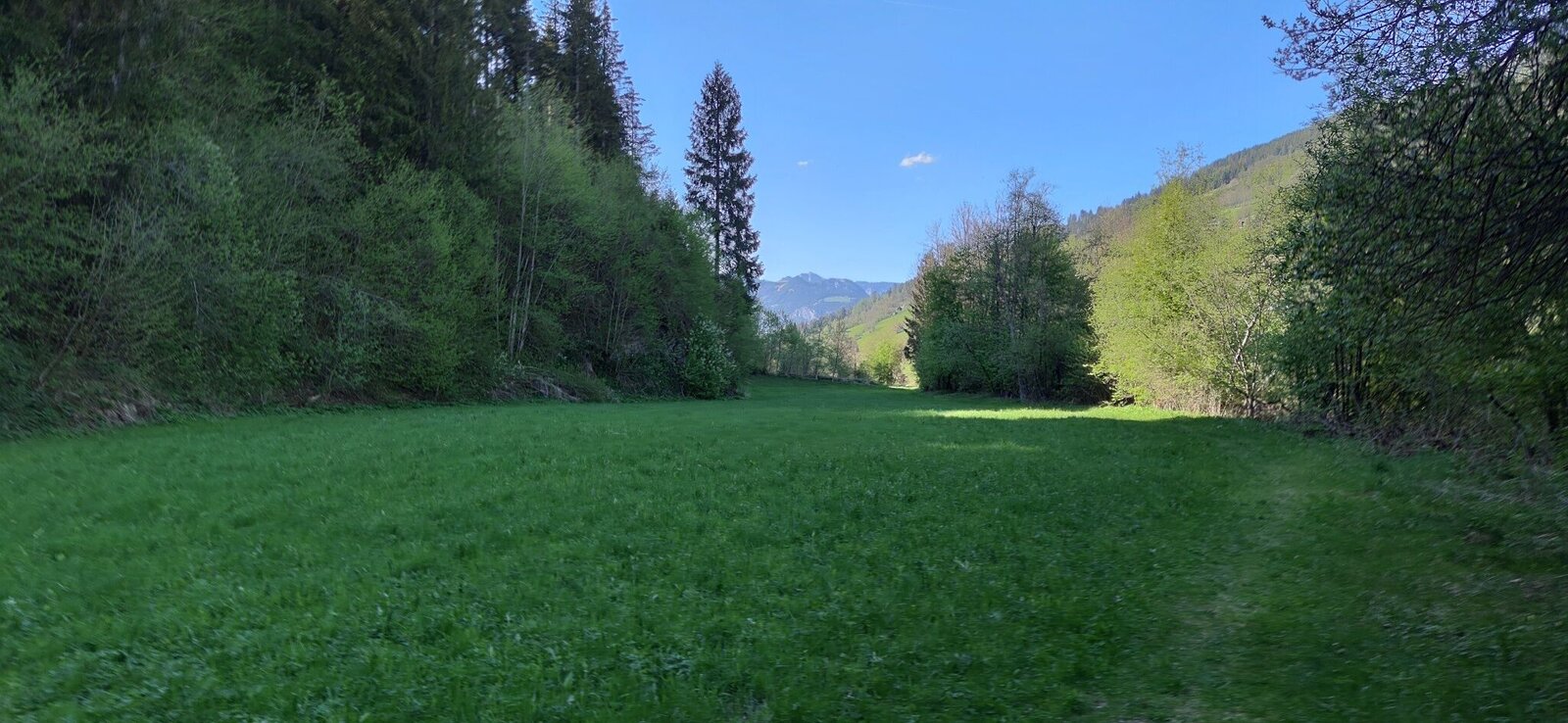
The tour
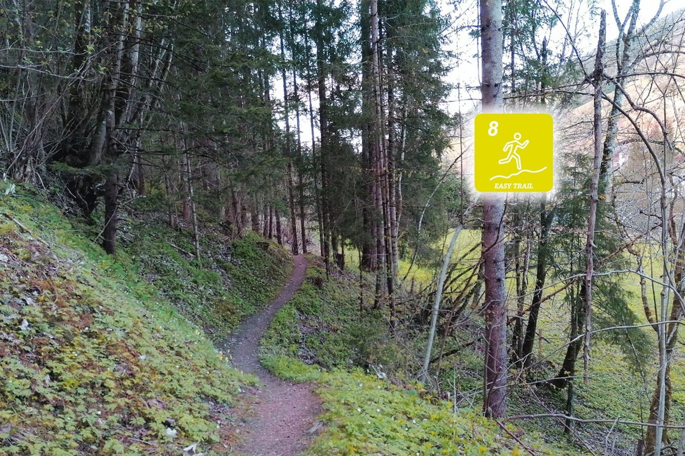
easy
publicly accessible
Starting and end point
Gasthof Rüscher
Tour characteristics
Distance: 2.81 km
Skills (2/6)
Information
Distance: 2.8 km
Duration:
34 min
Ascent: 52 m
Descent: 52 m
highest point: 703 m
Best season
Jan
Feb
Mar
Apr
May
Jun
Jul
Aug
Sep
Oct
Nov
Dec
Map, elevation profile & further information
Trail number: 8
Coming from the B320, at the Trautenfels intersection in the direction of Irdning. Then in the direction of Donnersbach.At the Gasthof Rüscher or on the opposite from the raiffeisenbank.
With the bus to the bussstop ,,Donnersbach Abzw Planneralm''. Near there is also the start point.
- Plan your trail in advanceInform yourself about the course of the trail and its demands
- Pay attention to weather forecasts and weather changes
- Let others know where you are going
- Adapt your equipment to the weather and the trail
- Be aware of livestock when crossing pastures
- Trail running shoes - no asphalt running shoes
- Running backpack or vest depending on the length of the tour hydration bladder or softflasks
- thin windbreaker
- first aid kit, including emergency blanket
- cell phone
- energy bar
- money
- change of shirt
- Headband
- Sunglasses
Sehr gutes Trainingsgelände für Intervalltrainings.
Tourism information: www.schladming-dachstein.atTourism blog: www.derbergdastal.at
www.schladming-dachstein.at/de/Sommer/Wandern-und-Bergsport/Laufen-und-Trailrunning
Tourist Office Schladming-Dachstein
Ramsauerstrasse 756
8970 Schladming
T: +43 3687 23310
Garbage on meadows and paths can not smell mountain and valley. Please take it with you. Agriculture and forestry are important partners for Berg und Tal. They allow you to walk and drive on many of their paths. Be aware that only good cooperation will guarantee your recreational enjoyment in the future.
- Trailrunning map Schladming-Dachstein: available free of charge at all info locations


