


Gröbminger Land
Große Niederöblarner Runde
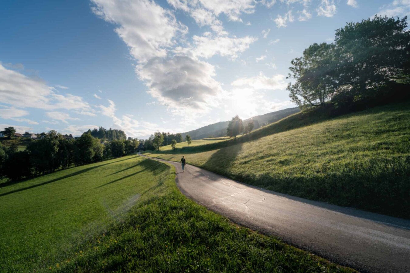
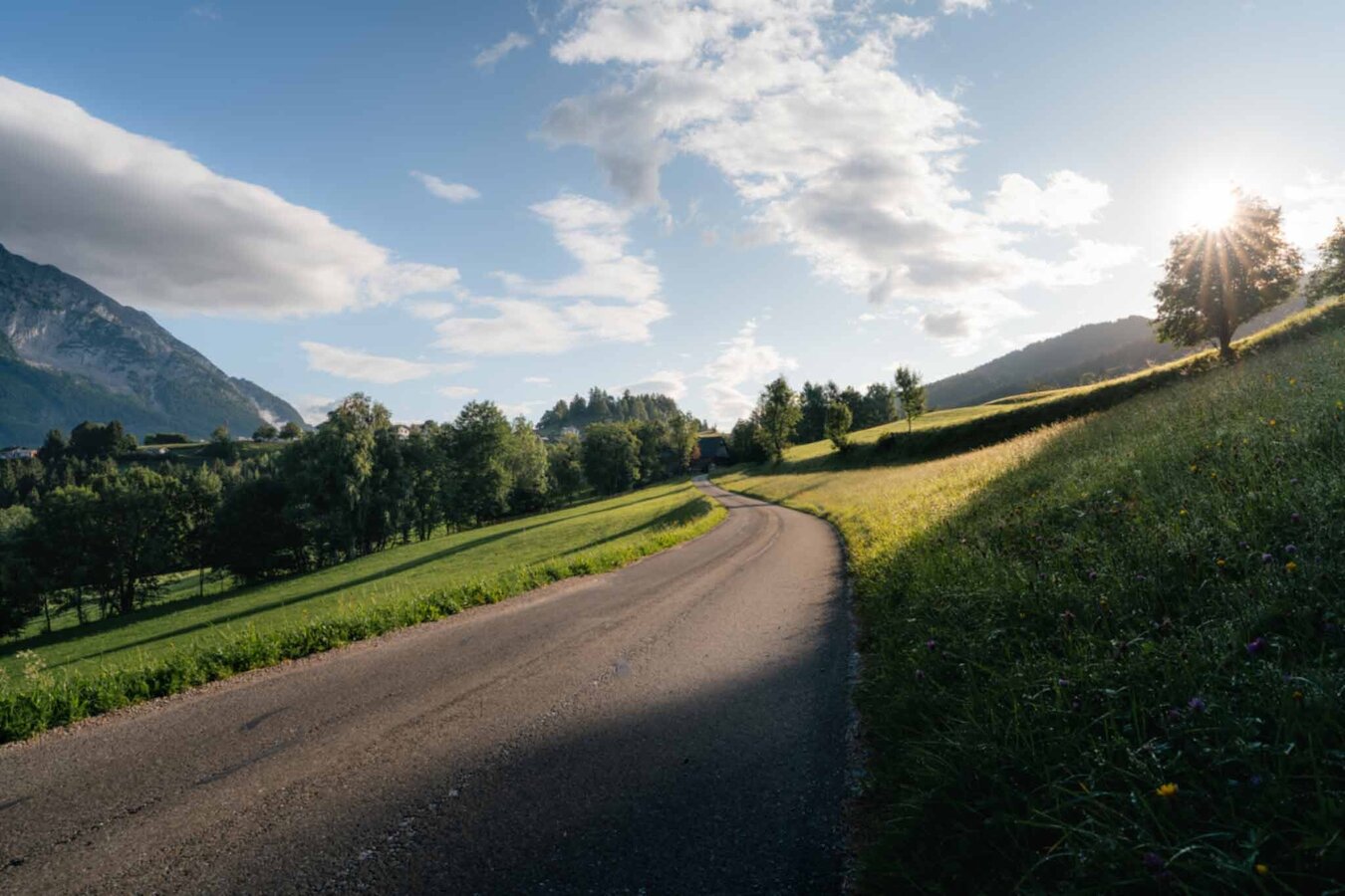
Walking Path
Data:
copyright: Christoph Lukas
copyright: Christoph Lukas
copyright: Christoph Lukas
copyright: Christoph Lukas
copyright: Christoph Lukas
copyright: Christoph Lukas
copyright: Christoph Lukas
copyright: Christoph Lukas
copyright: Christoph Lukas
copyright: Christoph Lukas
copyright: Christoph Lukas
copyright: Christoph Lukas
copyright: Christoph Lukas
copyright: Christoph Lukas
copyright: Christoph Lukas
copyright: Christoph Lukas
copyright: Christoph Lukas
copyright: Christoph Lukas
copyright: Christoph Lukas
copyright: Christoph Lukas
copyright: Christoph Lukas
copyright: Christoph Lukas
copyright: Christoph Lukas
copyright: Christoph Lukas
copyright: Christoph Lukas
copyright: Christoph Lukas
Tour description
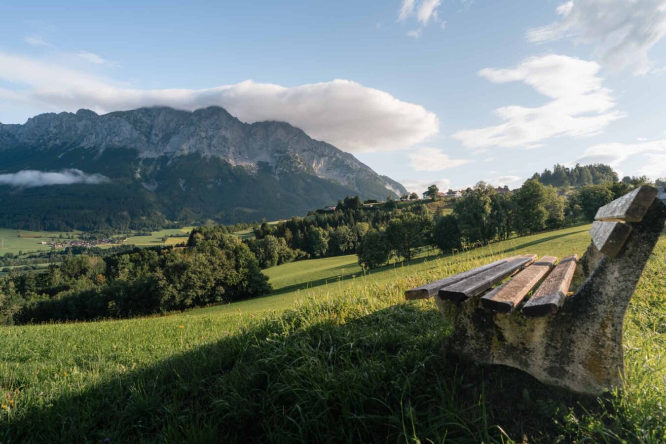
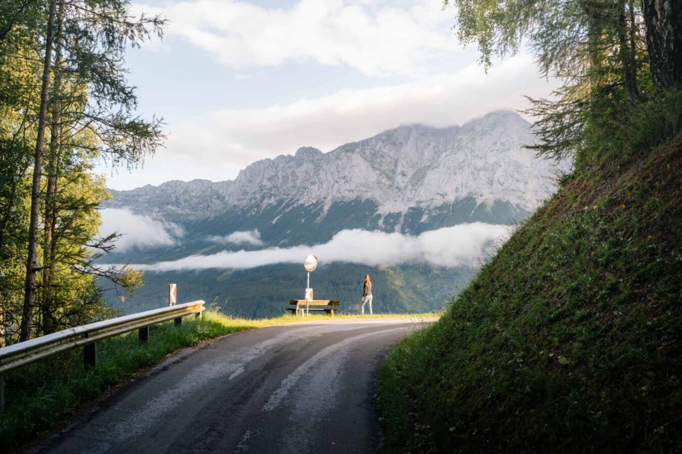
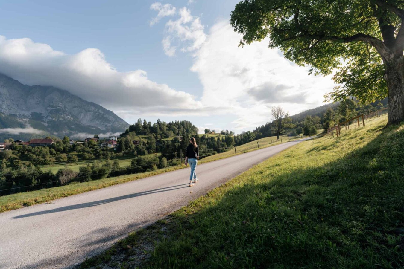
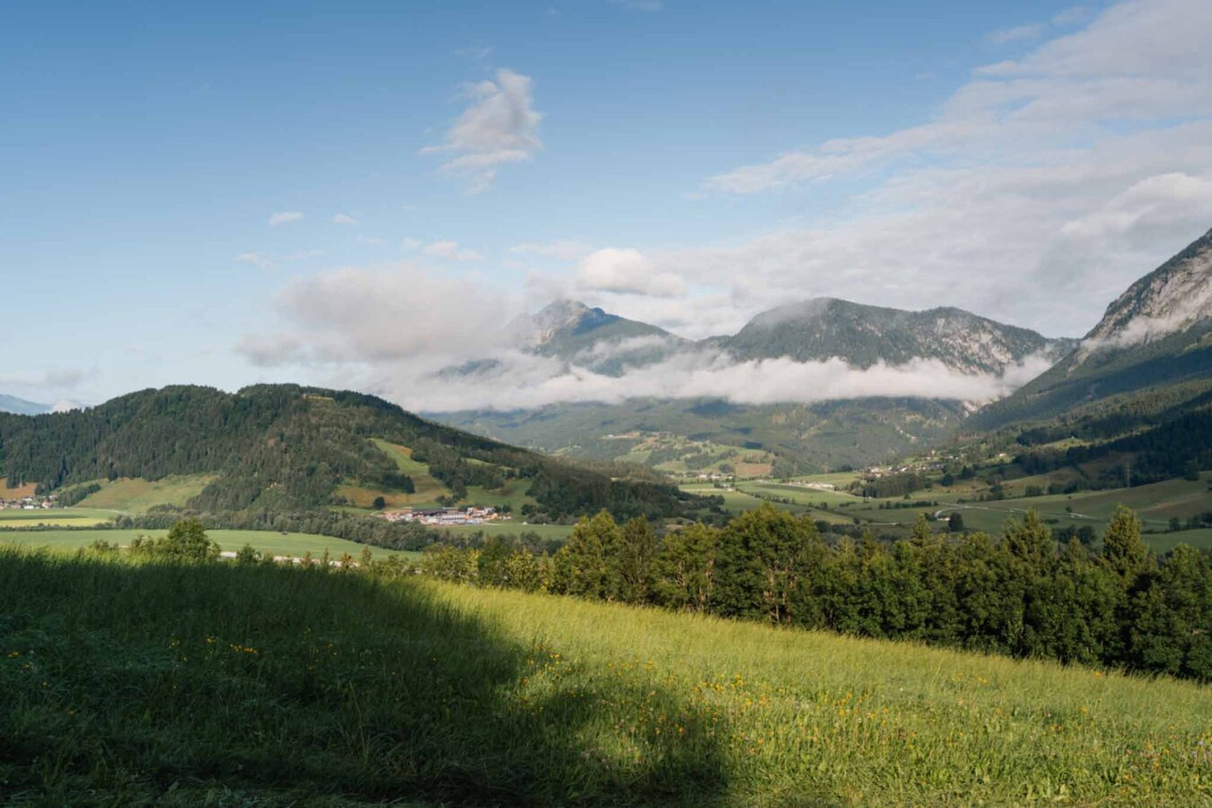
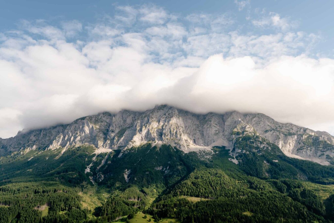
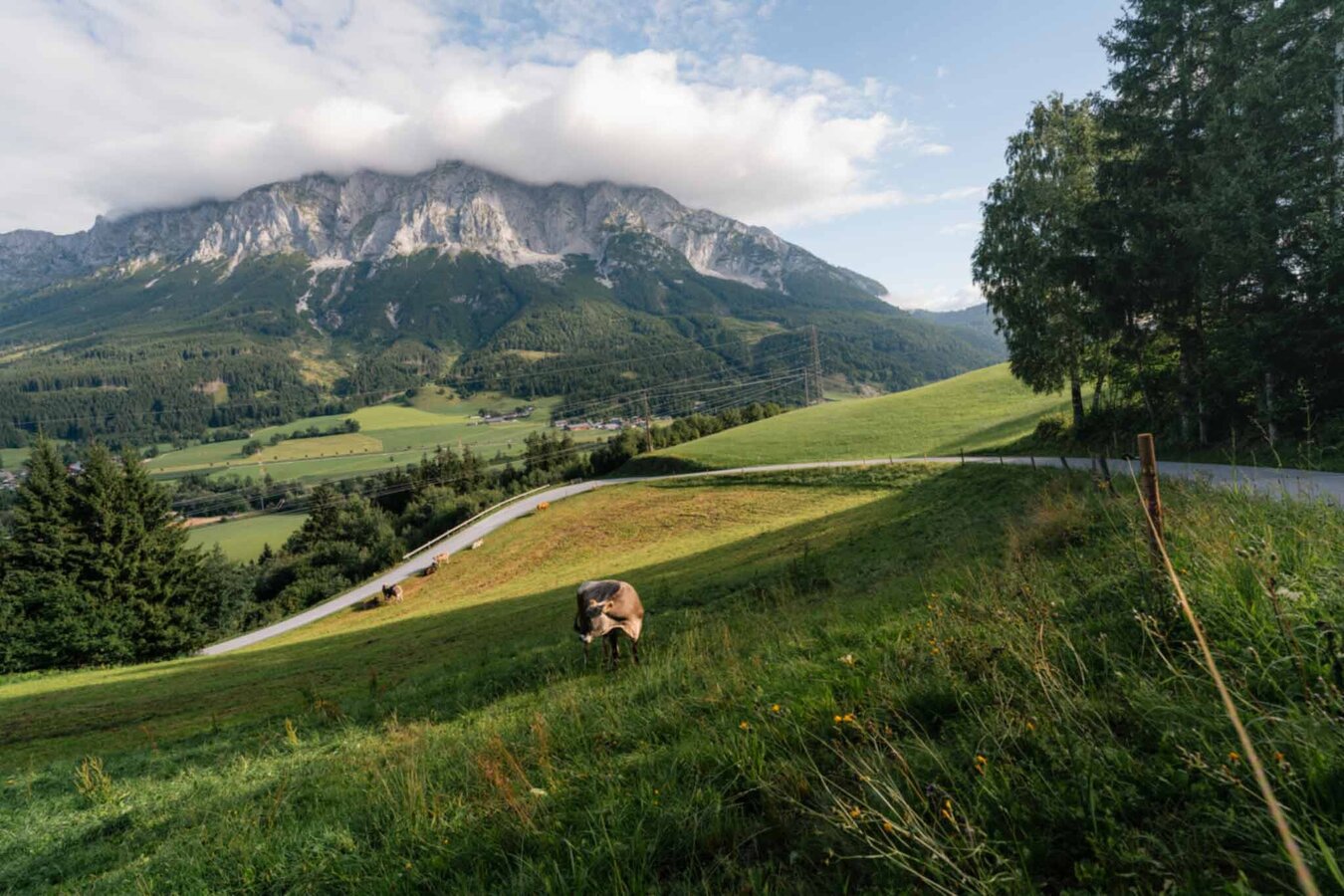
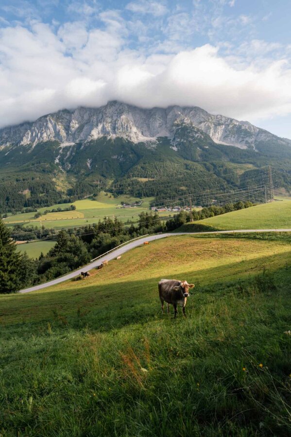
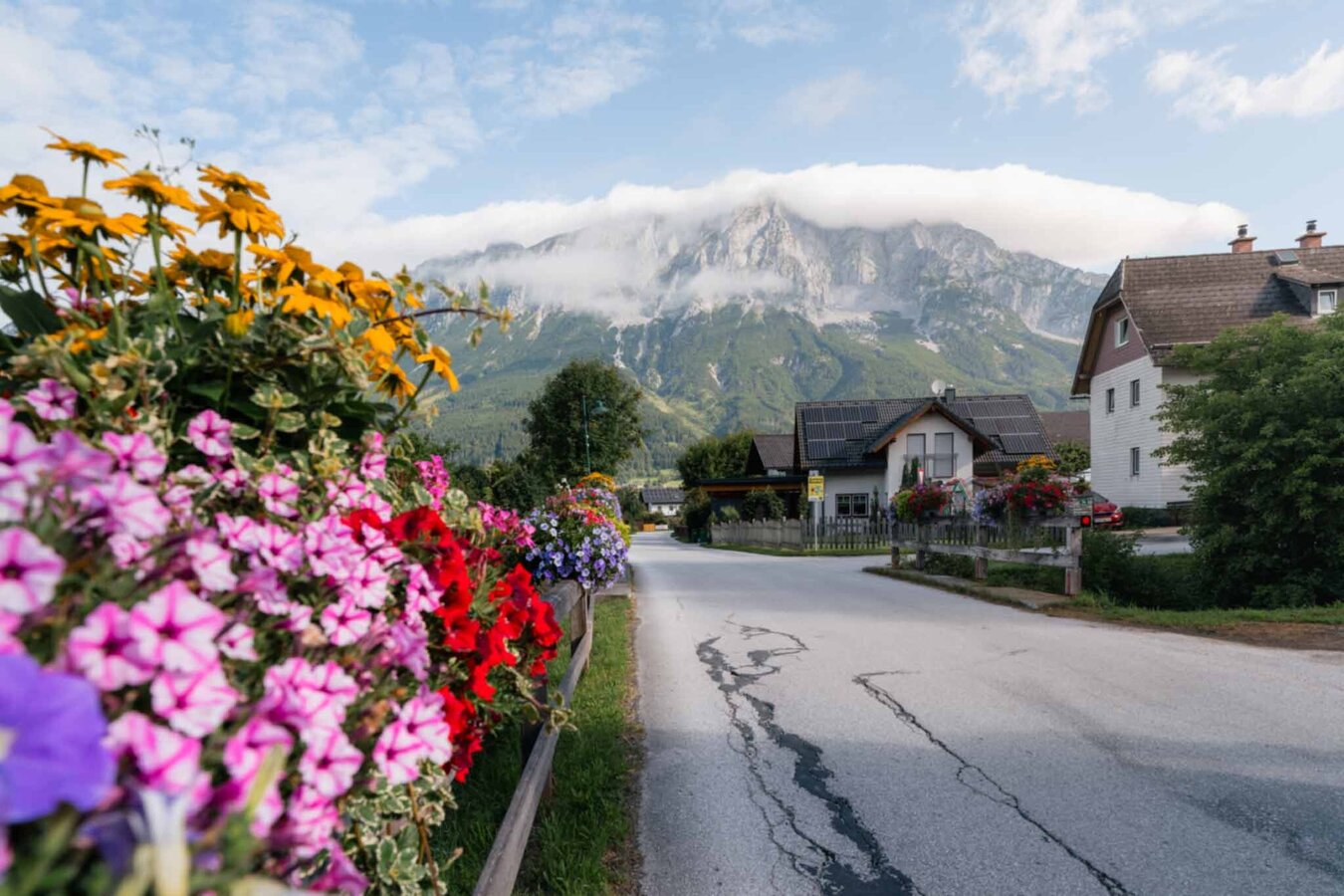
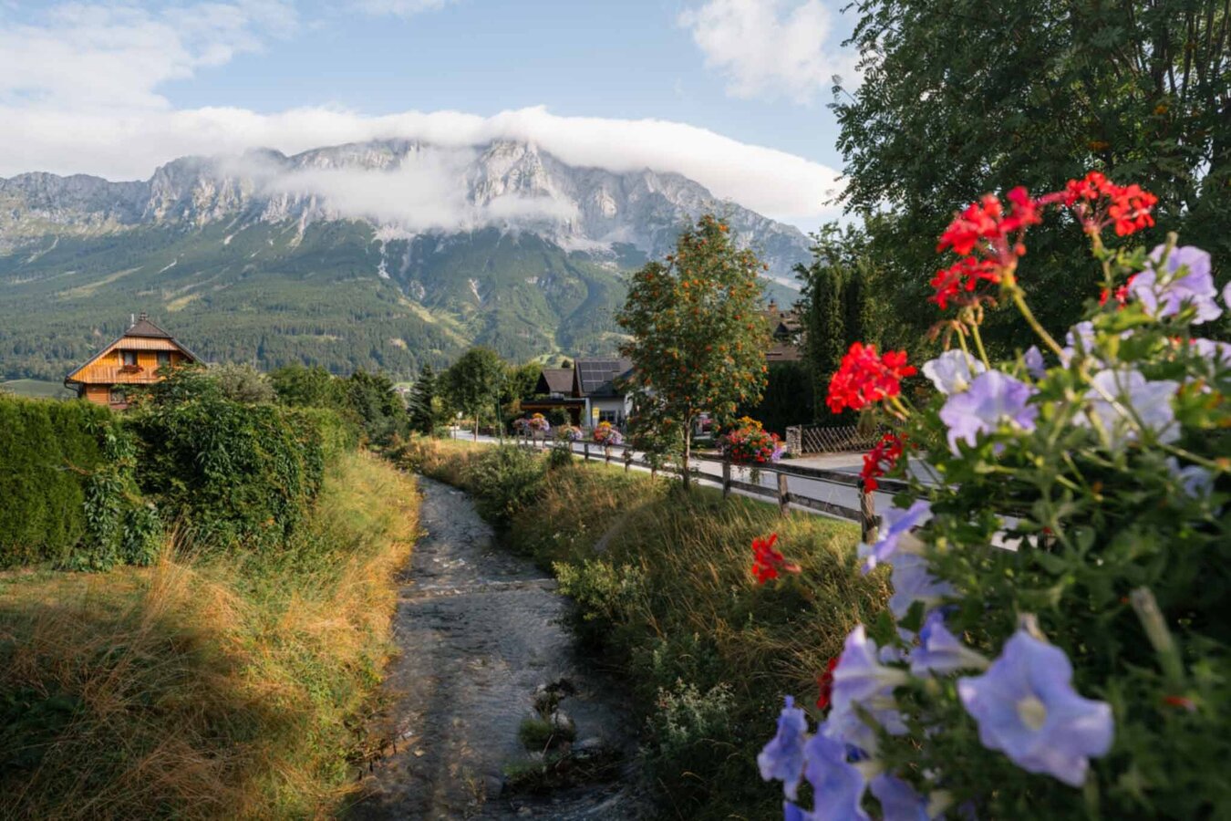
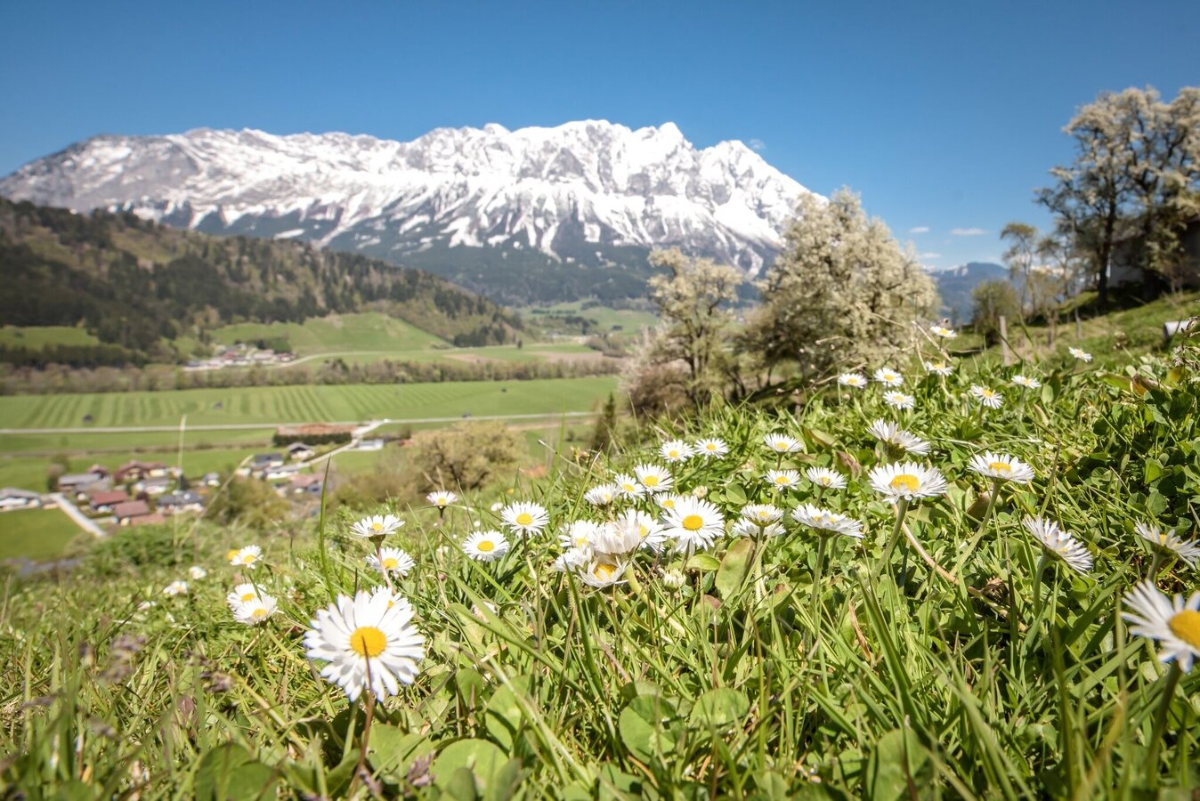
This circular hike leads from Gasthof Grimmingtor via Zamberg and Gritschenberg back to the starting point. Magnificent views guaranteed.
The tour
easy
publicly accessible
Starting and end point
Gasthof Grimmingtor parking lot
Tour characteristics
Distance: 4.4 km
Fitness (2/6)
Information
Distance: 4.4 km
Duration:
1:20 h
Ascent: 140 m
Descent: 140 m
highest point: 806 m
Best season
Jan
Feb
Mar
Apr
May
Jun
Jul
Aug
Sep
Oct
Nov
Dec
Map, elevation profile & further information
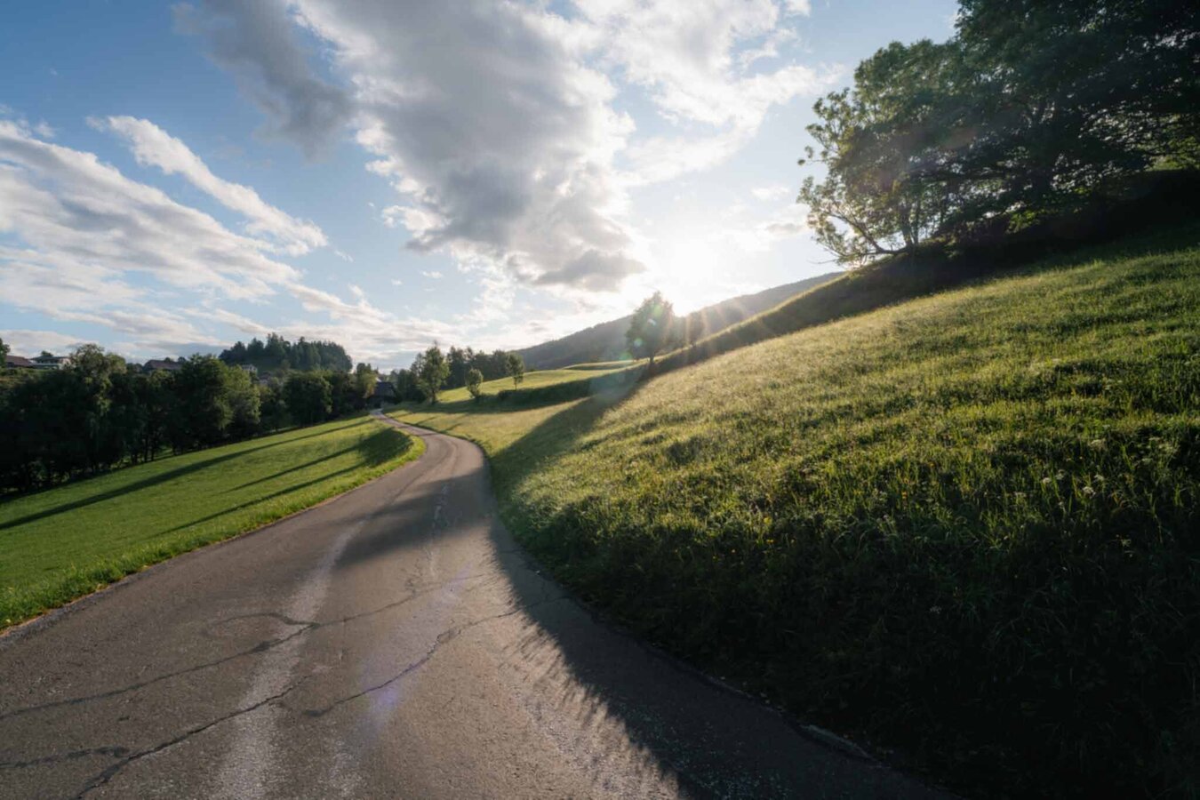
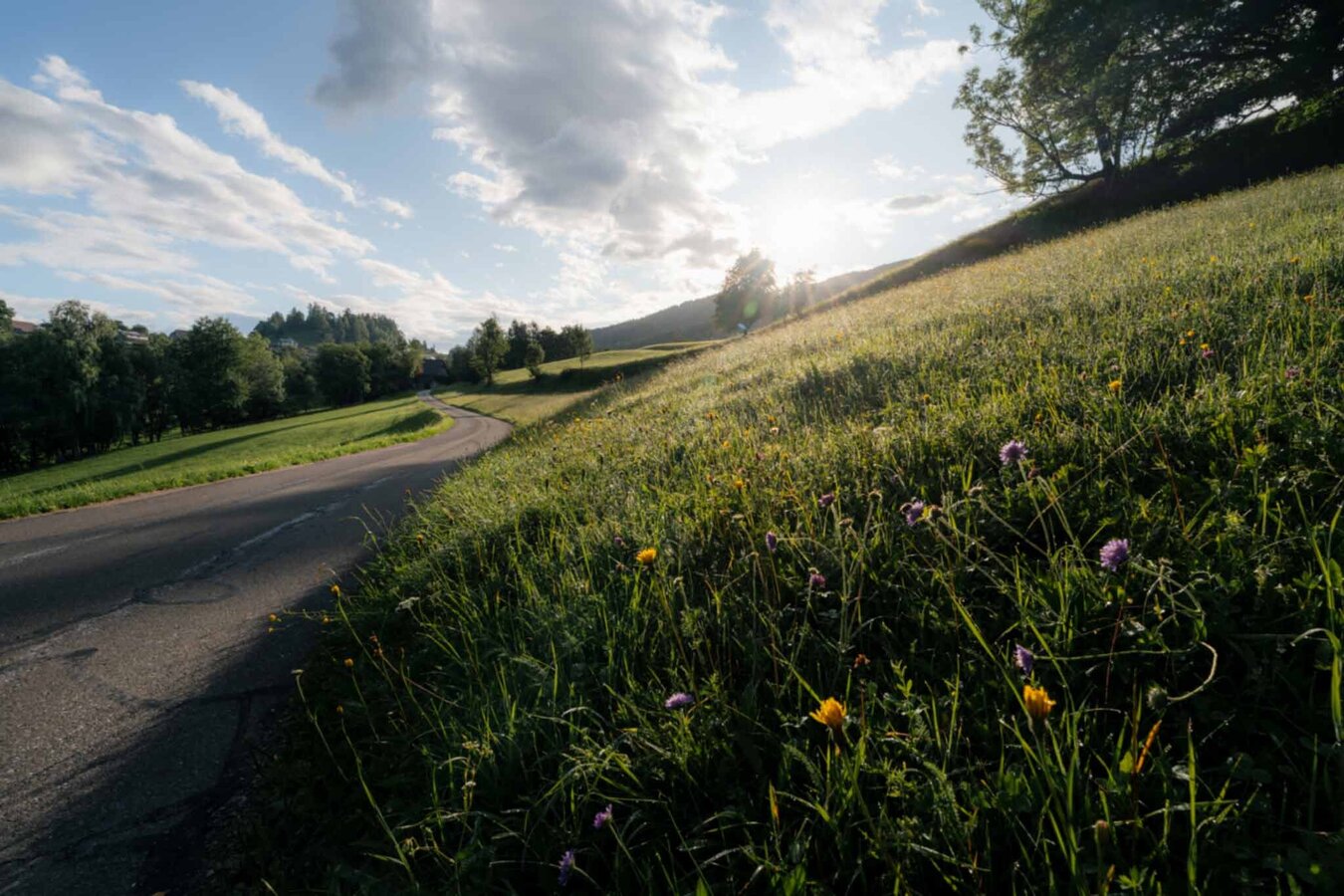
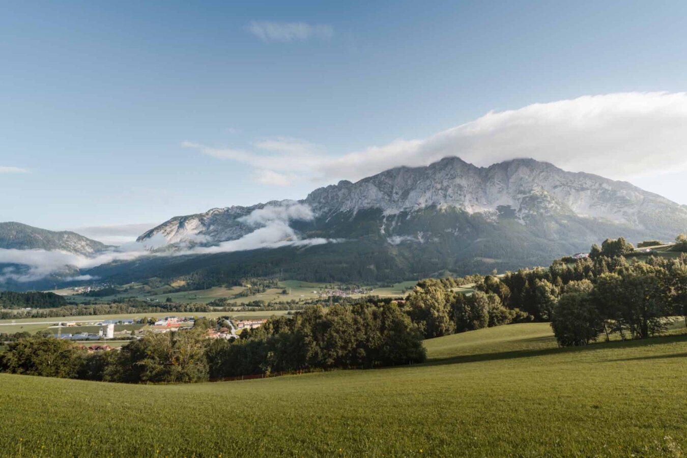
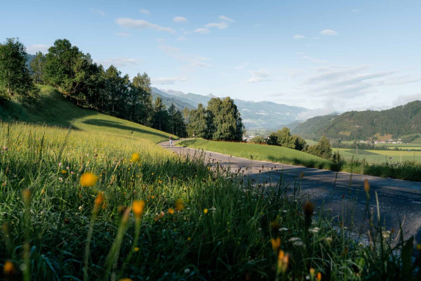
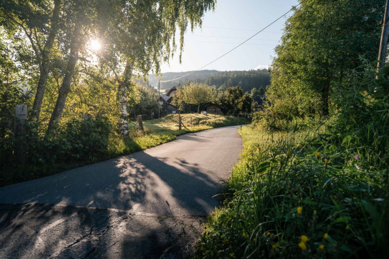
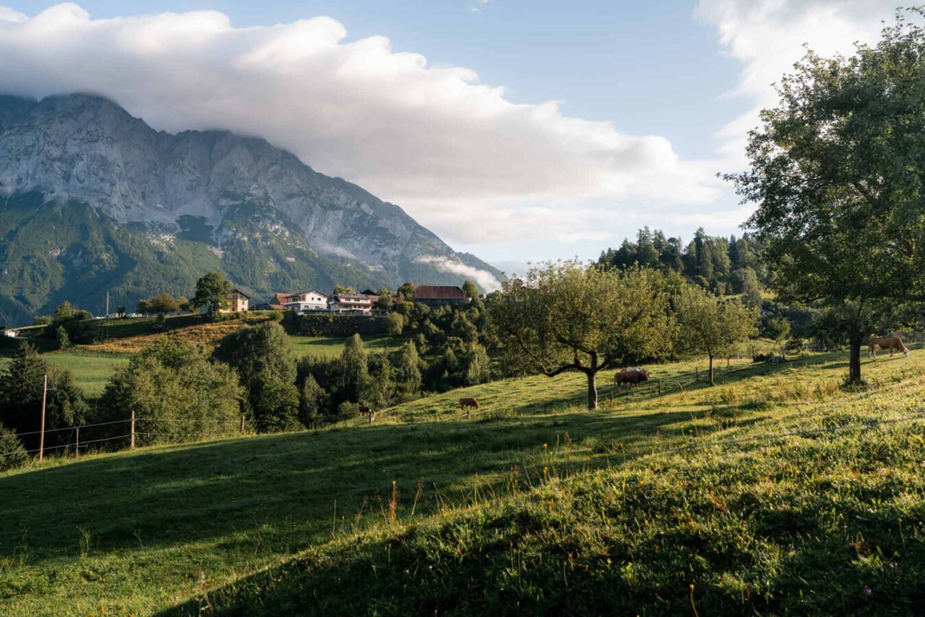
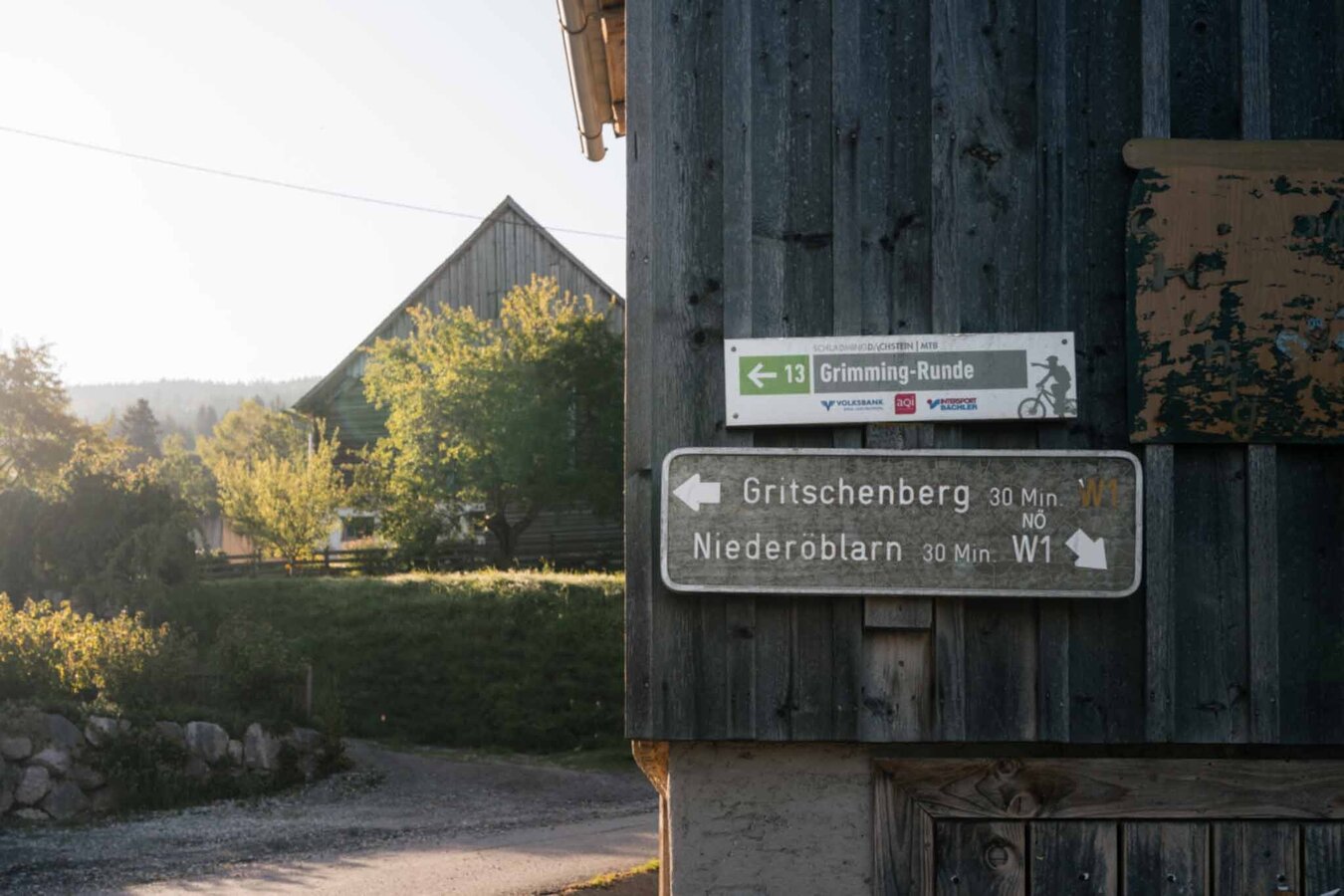
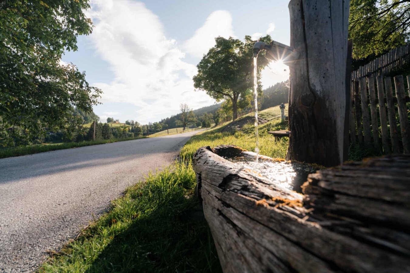
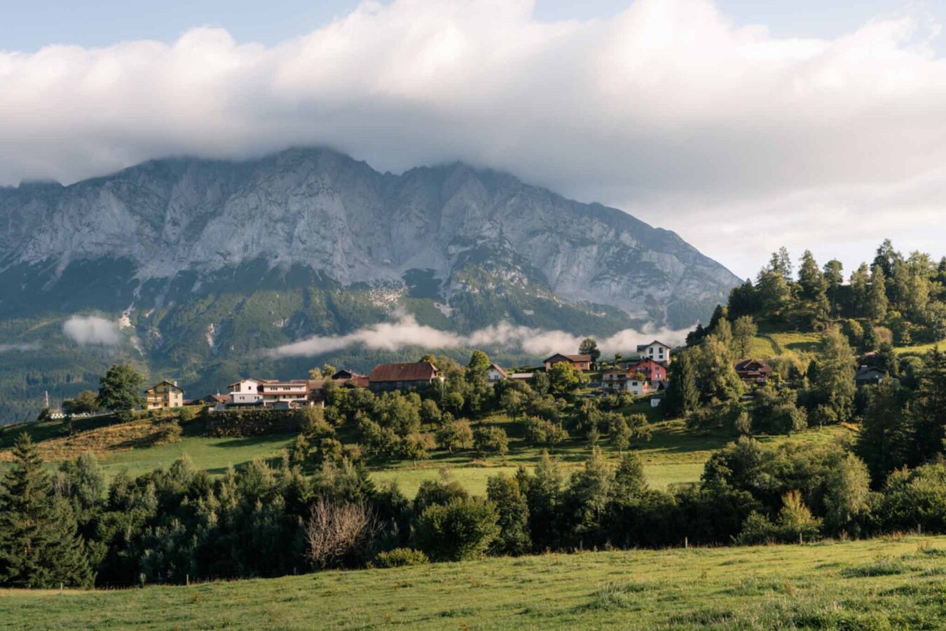
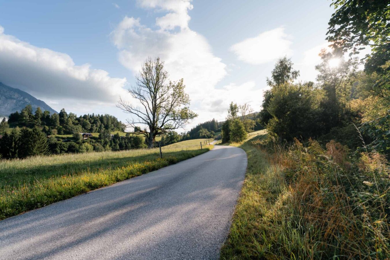
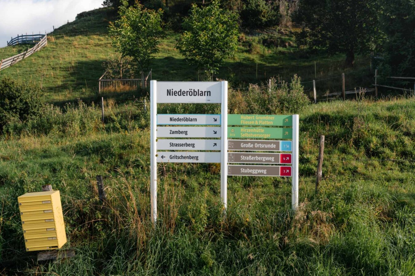
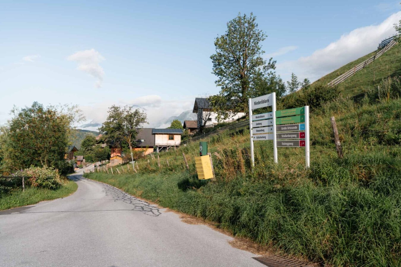
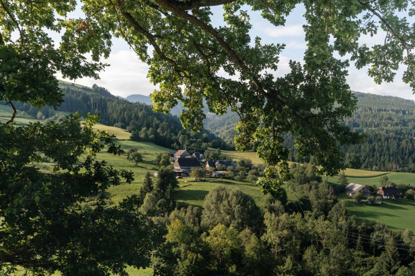
Starting from Gasthof Grimmingtor, you hike towards Niederöblarner Graben before the trail leads uphill to the left via Zamberg. After passing the farmsteads at Zamberg, continue hiking towards the Gritschenberg junction. From here, the path leads downhill, offering magnificent views of the Grimming and the upper Ennstal valley. Once at the valley floor, follow the R7 Ennsradweg back to the starting point.
Trail conditions
From the A10: at Altenmarkt (exit 63) turn towards Graz. Follow the B99 to Radstadt. Here, take the B320 towards Graz. At Pruggern, follow the signs towards Öblarn - continue to Niederöblarn and at the entrance to the village turn right into the village and use the parking facilities at Gasthof Grimmingtor.
From the A9: at Selzthal (exit 69) turn towards Liezen/Radstadt. From Liezen, follow the B320 to Espang. Turn there towards Öblarn. At the entrance to Niederöblarn, turn left into the village. Continue to the chapel and use the parking spaces at Gasthof Grimmingtor.
Parking lot at Gasthof Grimmingtor.
Sudden changes in weather, rapid drops in temperature, thunderstorms, wind, fog, and snowfields are objective hazards and require correct behavior while on the move.
Lack of equipment, overestimating one's abilities, carelessness, poor physical condition, and incorrect assessment can lead to critical situations. During thunderstorms: strictly avoid peaks, ridges, and fixed rope sections.
GPS data and orientation aids: Available GPS data – like hiking maps – are only an orientation aid, as they can never provide an exact image or the level of detail of a path in reality. Especially at danger spots, the final decision on if and how to proceed must always be made based on the actual conditions on-site.
In case of emergency, please dial the following emergency numbers:
Number 140 - for alpine emergencies - Austria-wide
Number 112 - Euro emergency call GSM emergency service
Take rainproof and warm clothing and enough water, possibly also a snack, and wear shoes with non-slip tread soles. A first aid kit should also be in your backpack.
Refreshment stop at Gasthof Grimmingtor in Niederöblarn.Further information is available at the Schladming Dachstein Tourism Association - Nature Park Sölktäler Information Office:
Phone: +43 3687 23310 501
info@schladming-dachstein.at
Stein an der Enns 107
8961 Sölk
The "Schladming-Dachstein Hiking" brochure is available at all information offices in the region.
Phone: +43 3687 23310 501
info@schladming-dachstein.at
Stein an der Enns 107
8961 Sölk
The "Schladming-Dachstein Hiking" brochure is available at all information offices in the region.


