


Gröbminger Land
Circular hiking trail Öblarn-Niederöblarn
Hiking trail
Data:

copyright: Christoph Lukas
copyright: Christoph Lukas
copyright: Christoph Lukas
copyright: Christoph Lukas
copyright: Christoph Lukas
copyright: Christoph Lukas
copyright: Christoph Lukas
copyright: Christoph Lukas
copyright: Christoph Lukas
copyright: Christoph Lukas

copyright: Christoph Lukas
copyright: Christoph Lukas
copyright: Christoph Lukas
copyright: Christoph Lukas
Tour description
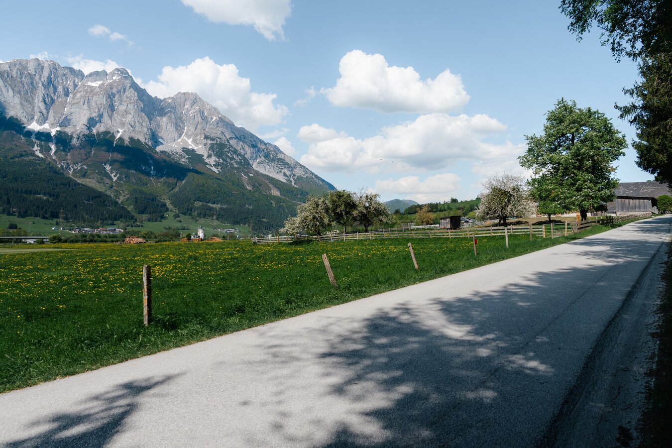
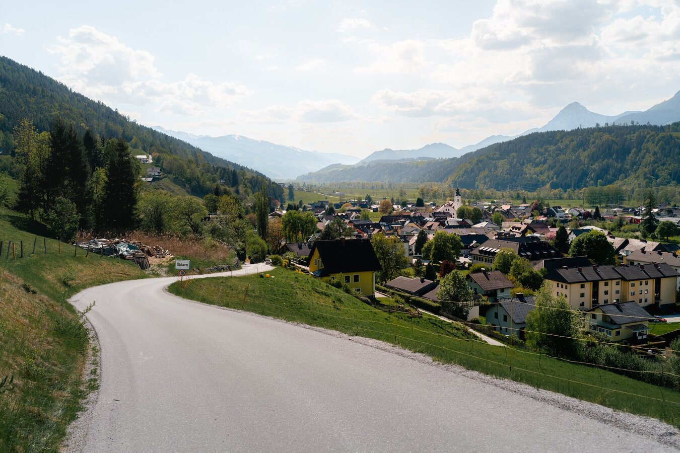
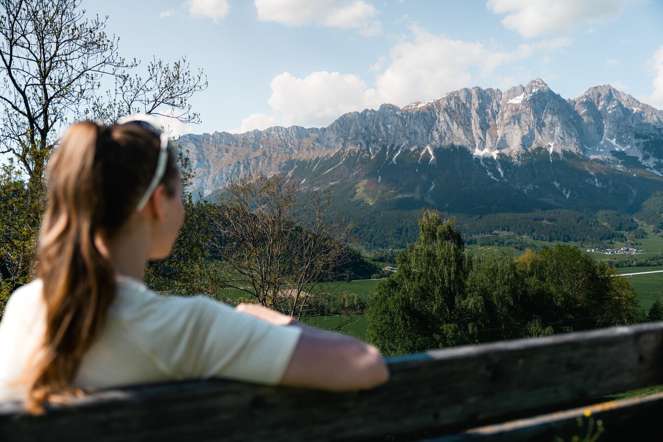
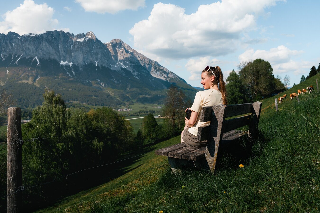
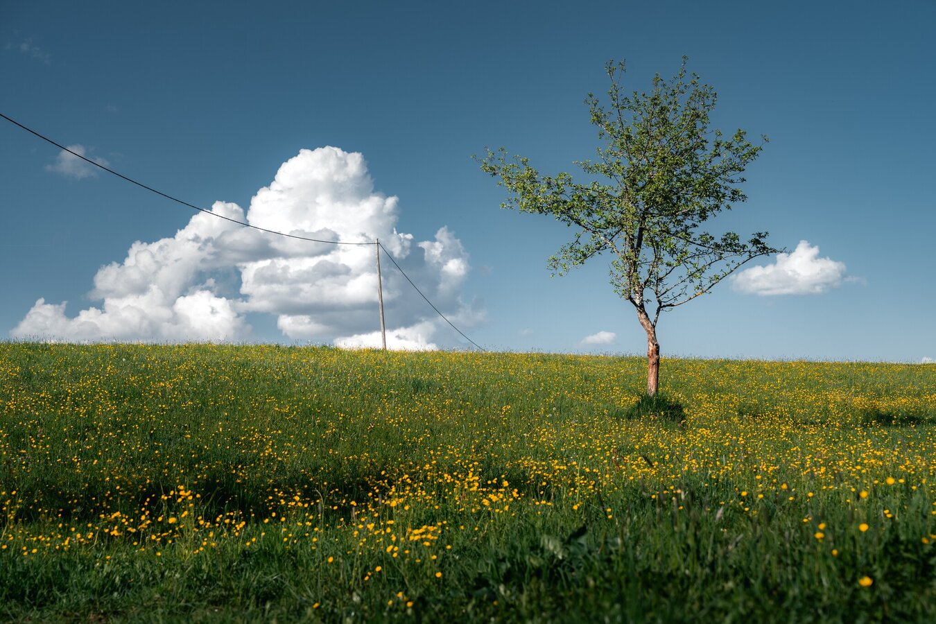
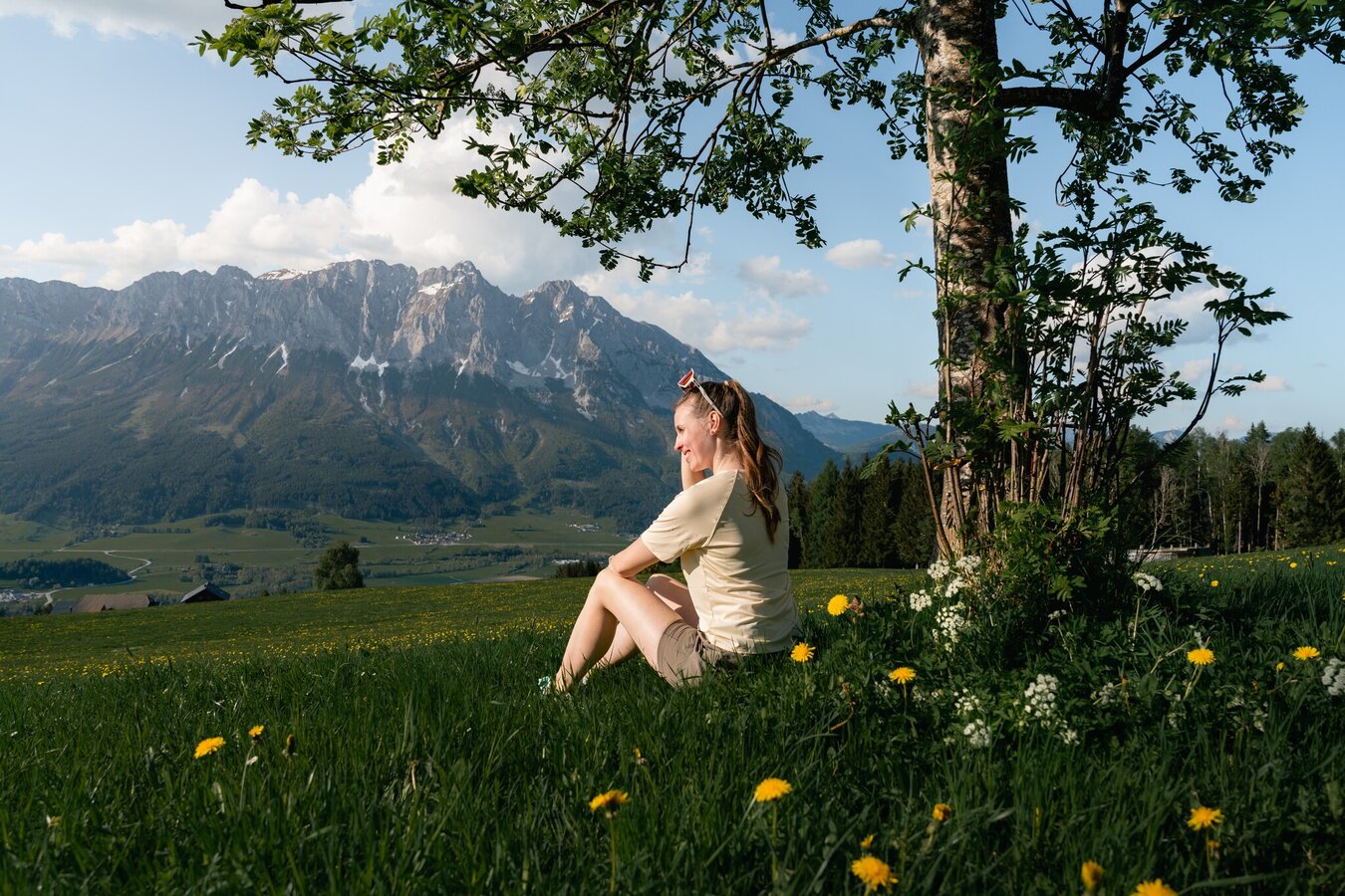
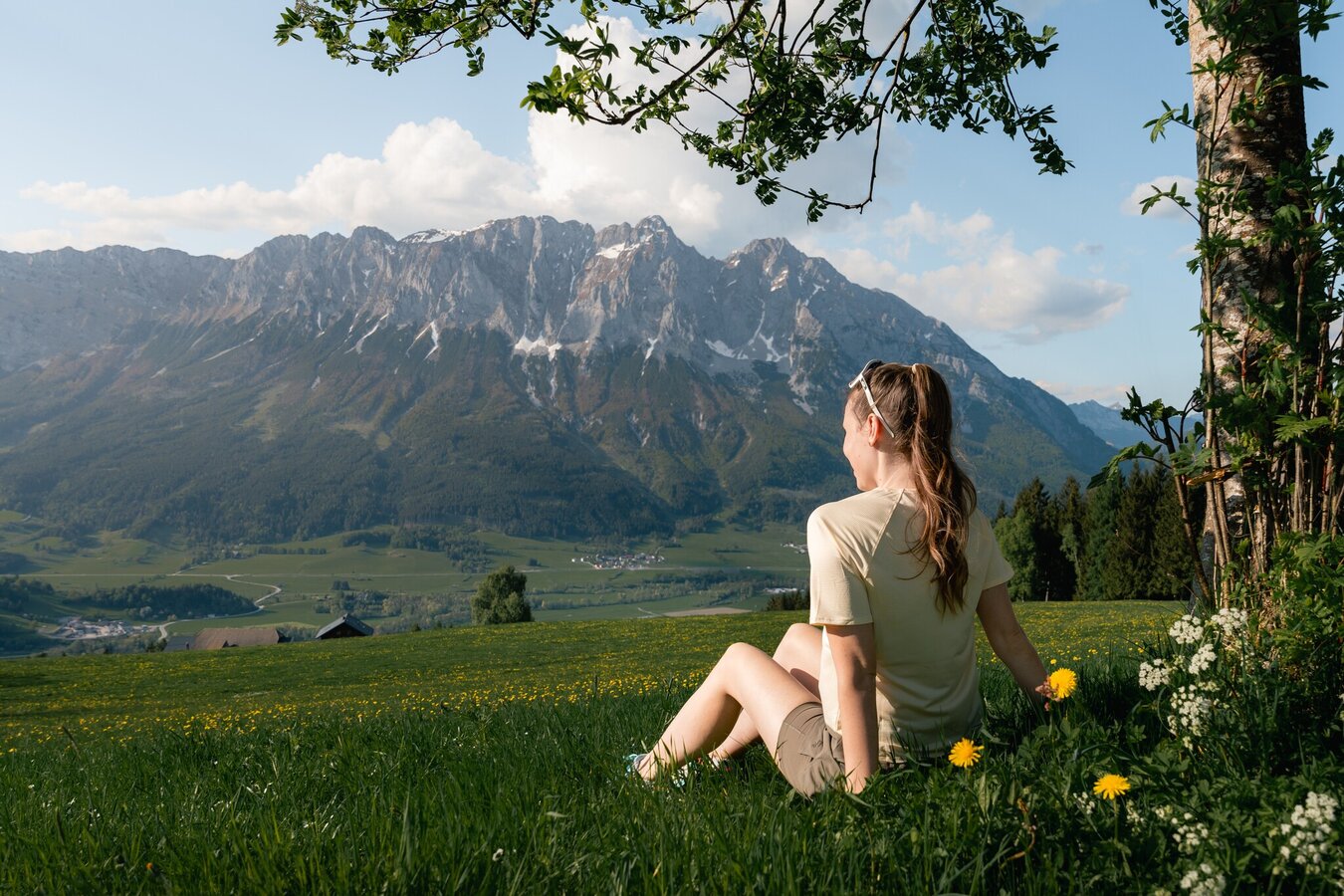
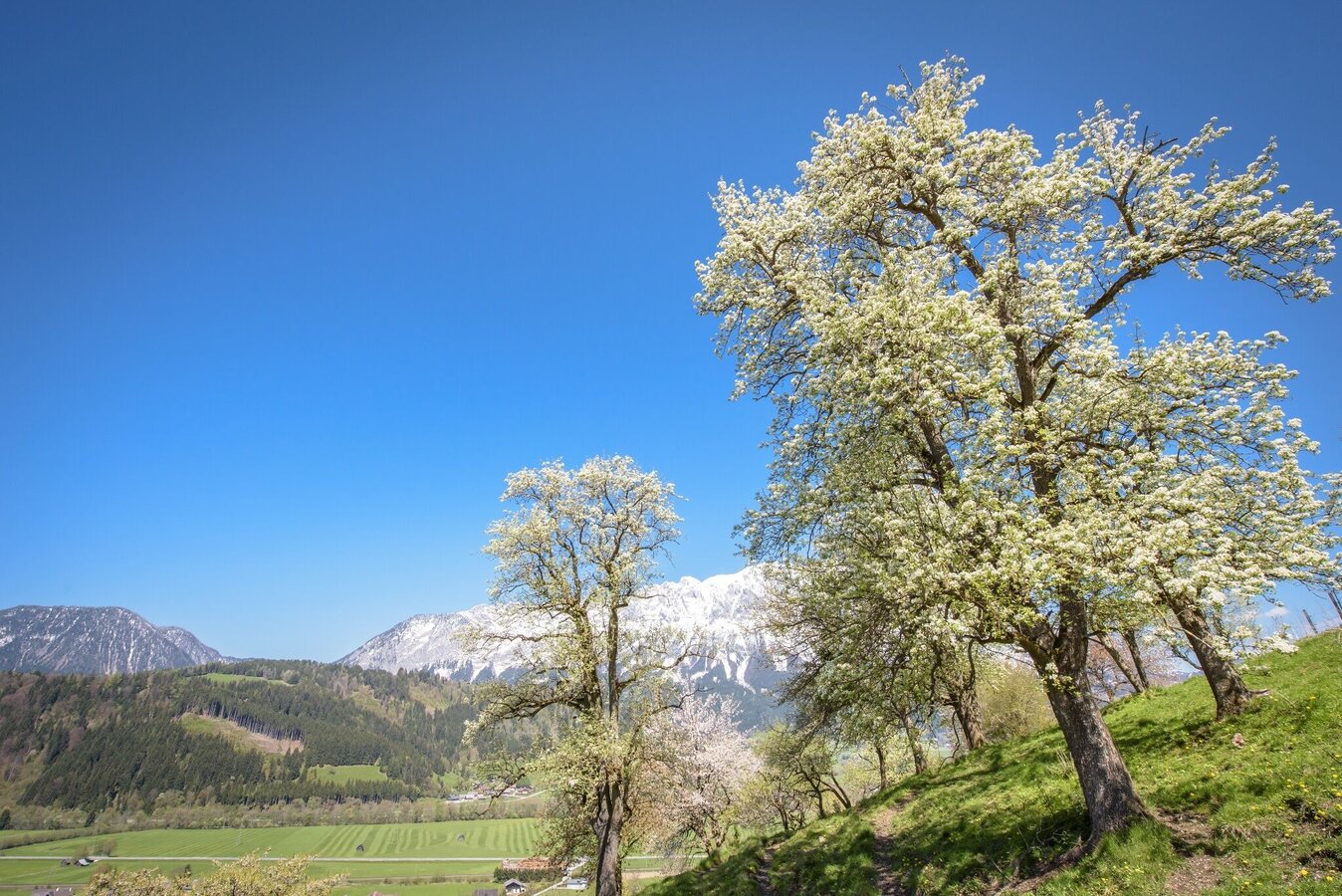
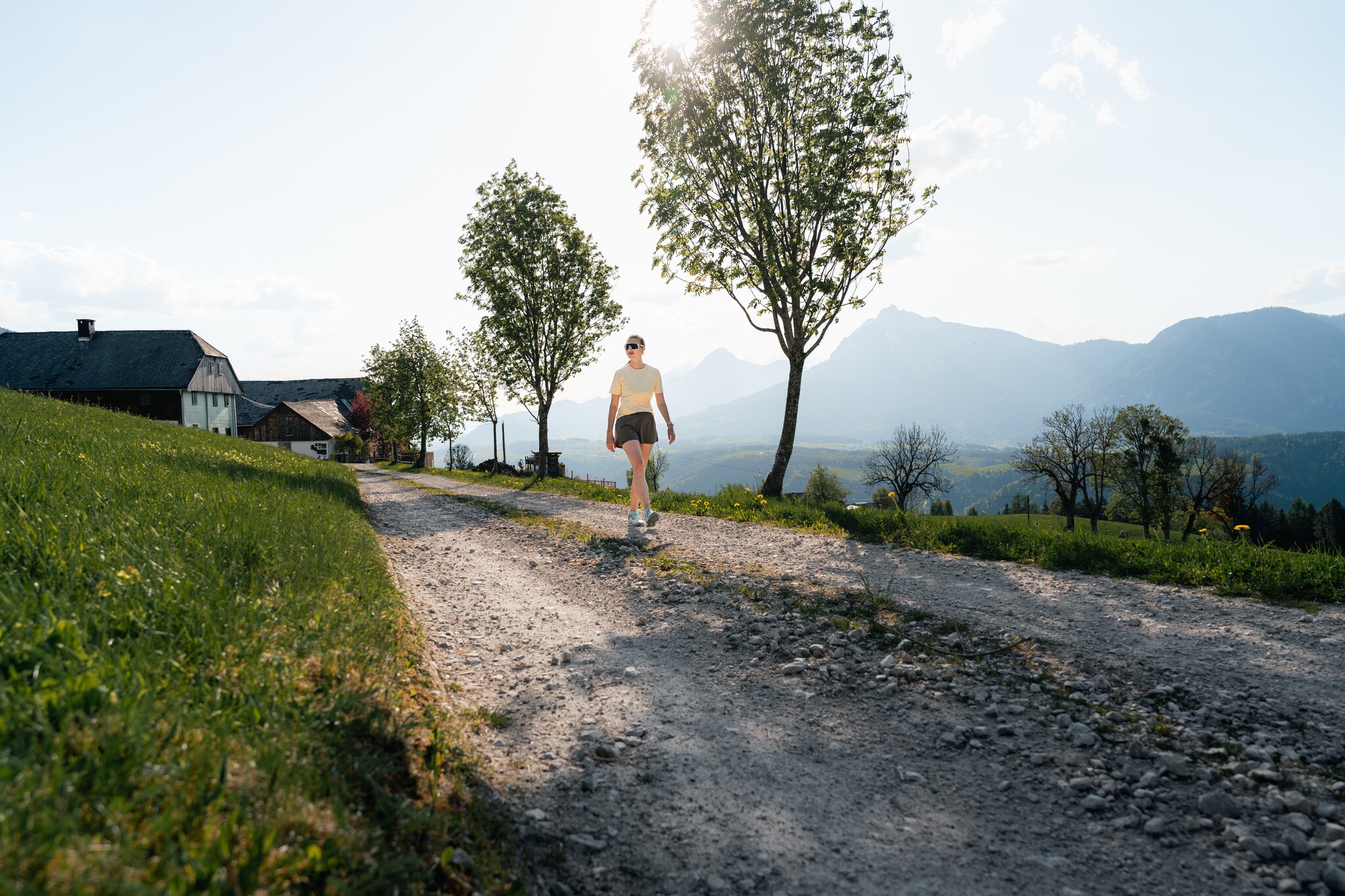
The scenic loop around Moosberg and Sonnberg offers beautiful views of Niederöblarn, Mitterberg, Kammspitze, Stoderzinken, and, of course, Grimming.
This route is also popular for running and Nordic walking.
The tour
easy
publicly accessible
Starting and end point
Öblarn
Tour characteristics
Distance: 10.6 km
Fitness (3/6)
Skills (2/6)
Information
Distance: 10.6 km
Duration:
3:45 h
Ascent: 390 m
Descent: 390 m
highest point: 1054 m
Best season
Jan
Feb
Mar
Apr
May
Jun
Jul
Aug
Sep
Oct
Nov
Dec
Map, elevation profile & further information
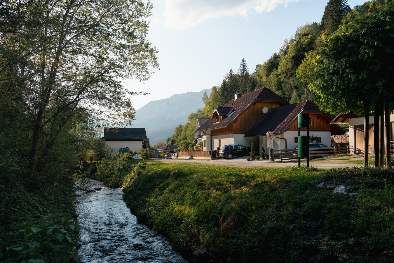
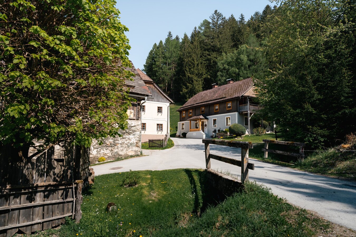
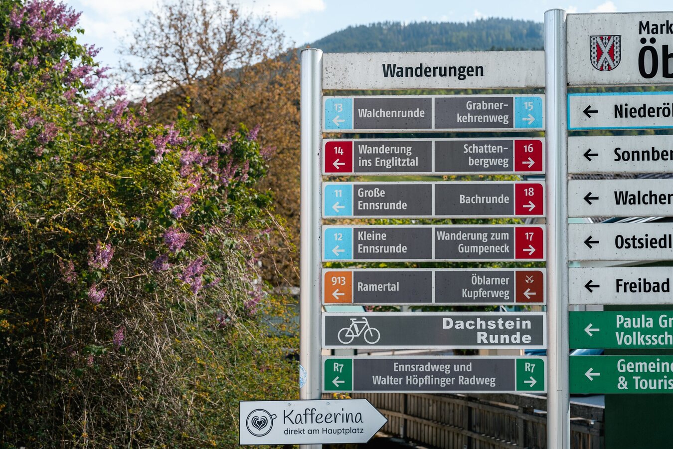
Starting point is the village of Öblarn, ascent via Sonnberg, further over the Moosberg in the direction of Niederöblarn, then you have the possibility to return to Öblarn via the Alte Landstraße or via the beautiful Ennswanderweg (hiking trail) past the Niederöblarn Alpine airfield.
From the west: By car, take the B320 Ennstal Federal Highway and turn toward Öblarn at Sankt Martin, then continue on to Öblarn.
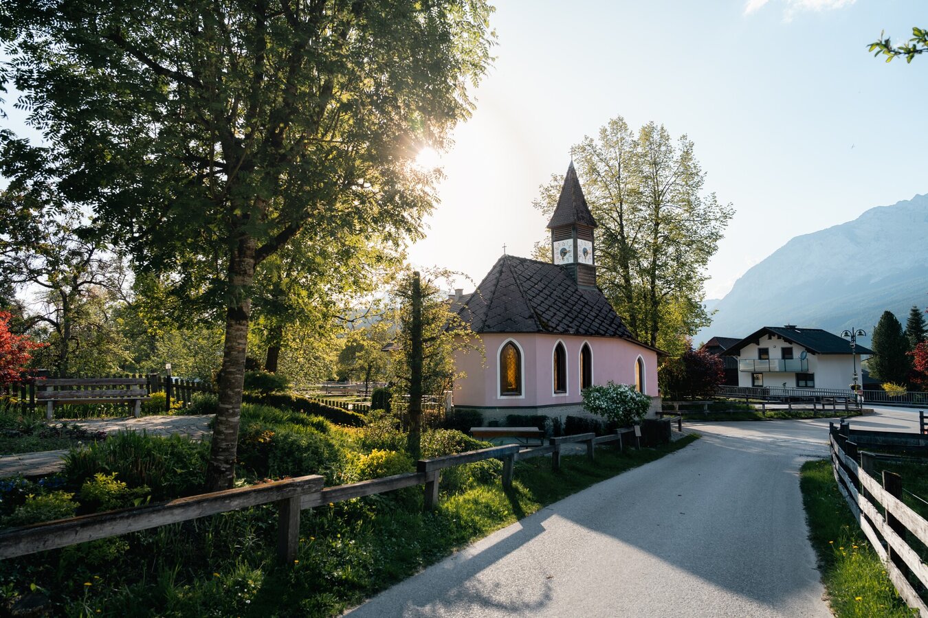
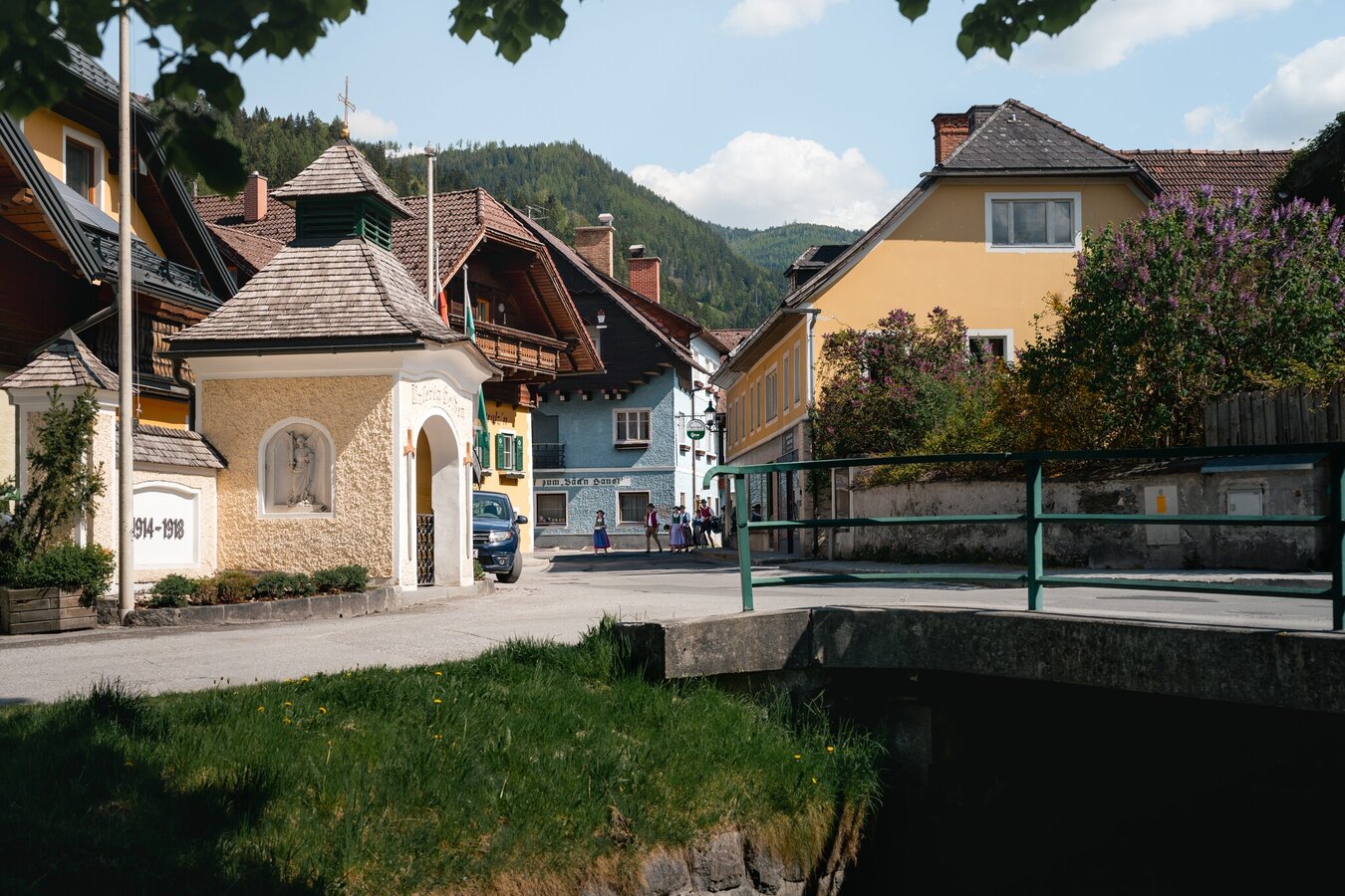
From the east: By car, take the B320 Ennstal Federal Highway and turn toward Öblarn at Espang, then continue on to Öblarn.Main square Öblarn near church
From the east: By car, take the B320 Ennstal Federal Highway and turn toward Öblarn at Espang, then continue on to Öblarn.Main square Öblarn near church
Öblarn can be reached with the ÖBB regional trains (www.oebb.at).
From the train station you walk to the starting point at the village center via Bahnhofstraße in about 5 minutes.
Weather changes, rapid drop in temperature, thunderstorms, wind, fog and snow fields are objective dangers and require the right behavior on the way. Lack of equipment, overestimation of one's own abilities, carelessness, poor physical condition and a wrong assessment can lead to critical situations. During thunderstorms: avoid peaks, ridges and rope belays at all costs.
GPS data and orientation aids: Available GPS data - as well as hiking maps - are only an orientation aid, since they can never represent an exact image or the richness of detail of a path in reality. Especially in the case of danger spots, it must therefore always be decided in the end on the basis of the conditions on site whether and how the further course of the path looks like.
In case of emergency, please dial the following emergency numbers:
No. 140 - for alpine emergencies - Austria-wide
No. 112 - Euro emergency call GSM emergency call service
Take rainproof and warm clothes and enough water, possibly also a snack, wear shoes with non-slip profile soles. A first aid kit should also be in your backpack.
SummitLynx- Your digital summit and hut book - available worldwide and always with you!For more information, please contact the Schladming Dachstein Tourist Office:
Phone: +43 3687 23310
mailto:info@schladming-dachstein.at
The brochure “Schladming-Dachstein Hiking” is available in all information offices in the region.
Phone: +43 3687 23310
mailto:info@schladming-dachstein.at
The brochure “Schladming-Dachstein Hiking” is available in all information offices in the region.


