

Bike & Hike Riesneralm via Oxenalm
Tour description
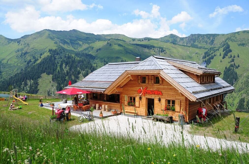
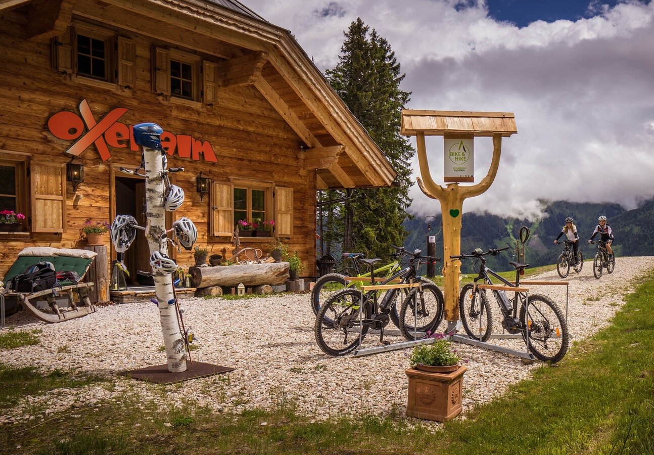
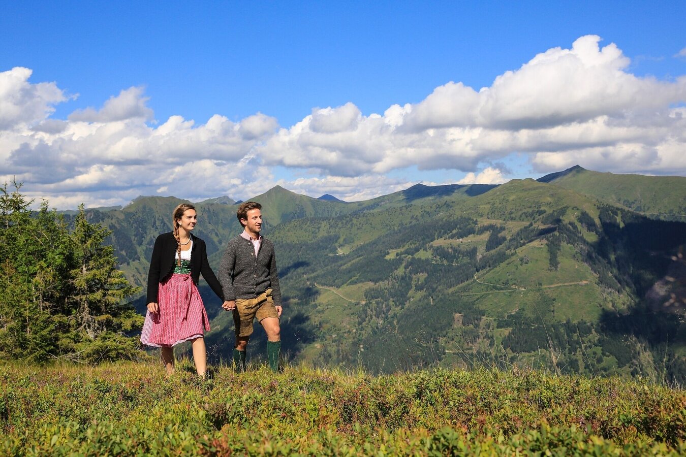
The Bike & Hike tour follows the well-signposted Mörsbach Loop (323) from Donnersbachwald along alpine paths up to the Oxenalm. There you will find a Bike & Hike station where the bike can be safely parked and locked.
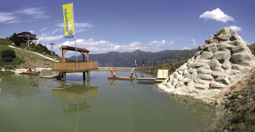
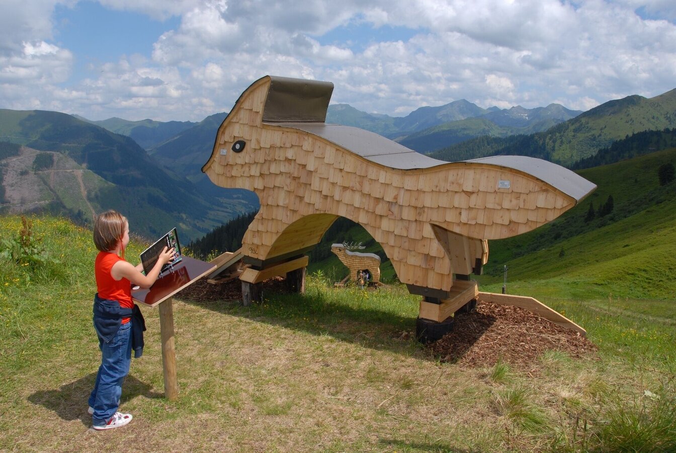
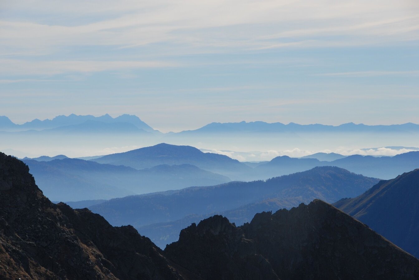
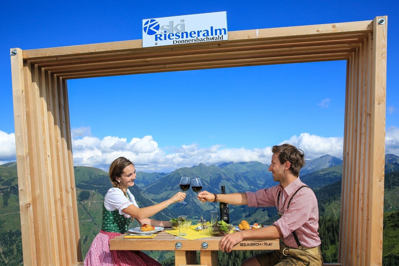
From here the hike continues up to the Riesneralm, where several adventure stations and beautiful views of the surrounding mountains await.
After the hike, return to the Oxenalm before continuing the bike tour with a longer, rough gravel descent back down to Donnersbachwald.
Cycling on the route is only permitted during the following times:
- 15 May to 31 August: 08:00 – 18:00
- 1 September to 30 September: 08:00 – 17:00
Hike total: 03:05h, 5.5km, 449hm
The tour
Map, elevation profile & further information
The tour starts at the parking area in the center of Donnersbachwald. From there follow the signs of the Mörsbach Loop (323) via Freizeitanlage Donnersbach – Sport Scherz – Riesnerhof – Mörsbachalmweg – Mörsbachhütte to the Hintere Mörsbachalm.
The route then continues via Schaumberg to the Oxenalm, where the Bike & Hike station is located and the hike to the Riesneralm begins.
After the hike, return to the Oxenalm. From there the route leads via Steerhof on a partly rough gravel descent back down to Donnersbachwald and to the starting point.
From Schladming: Follow the B320 to Trautenfels. Turn right towards Irdning. Follow the road to Irdning, take the second exit at the roundabout and turn right at the large junction. Continue on the road towards Donnersbach. Drive through the village and continue via the Glattjoch road to Donnersbachwald.
From Liezen: Follow the B320 to Trautenfels. Turn left towards Irdning. Follow the road to Irdning, take the second exit at the roundabout and turn right at the large junction. Continue on the road towards Donnersbach. Drive through the village and continue via the Glattjoch road to Donnersbachwald.
Google Link
Parking area in the center of Donnersbachwald.
Google Link
Weather conditions in the mountains can change quickly. Thunderstorms, wind, fog and sudden temperature drops are serious hazards. Plan your tour realistically and don’t overestimate your abilities.
In case of thunderstorms: Avoid summits, ridgelines and isolated trees.
Emergency numbers:
140 – Mountain Rescue
112 – European emergency number
Recommended equipment:
Helmet, suitable bike and hiking clothing, sturdy shoes, sufficient water.
Always lock your bike.
There are E-bike charging stations along the route (see map/elevation profile) – bring your charger.
For via ferrata routes: Via ferrata set, helmet, appropriate footwear.
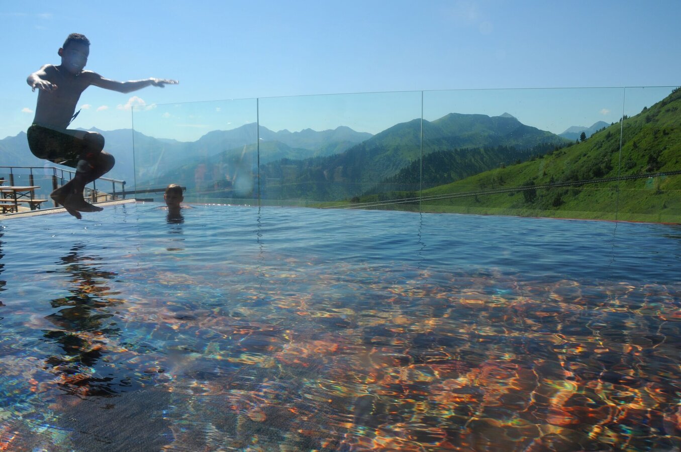
- Summit pool: At the Riesneralm you will find the summit pool – a great place to cool down on warm days.
- Places to stop: Several alpine huts along the route invite you to take a relaxing break.
- E-mountain bike: With electric support the climb is pleasant to ride. E-bike charging stations along the route are shown on the map and in the elevation profile.
15 May to 31 August from 08:00 to 18:00
1 September to 30 September from 08:00 to 17:00
For further information please contact:
Schladming-Dachstein Tourism Association
- Tel.: +43 3687 233 10
- info@schladming-dachstein.at
- Infobüro´s


