Wild Waters

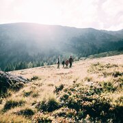
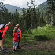
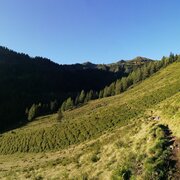
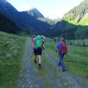
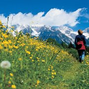
Here you hike. Here you marvel. Here you experience.

Water in all its forms and facets.

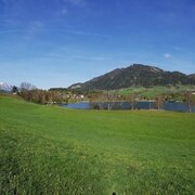
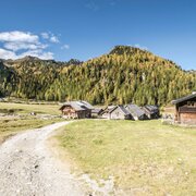
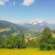
Not far from Schladming, two valleys share the most beautiful spots of earth and water: Rohrmooser Obertal and Untertal.

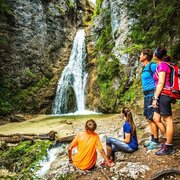
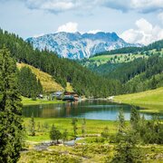
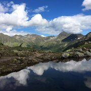
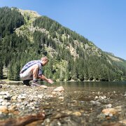
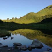
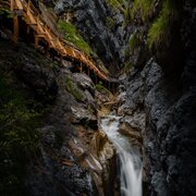
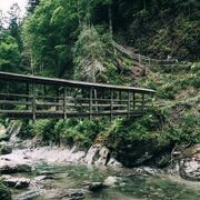
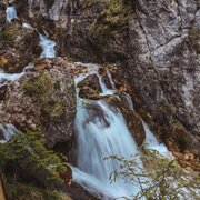
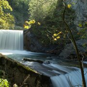
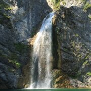
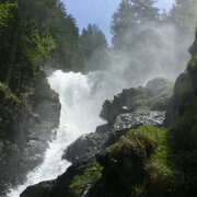
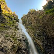
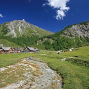
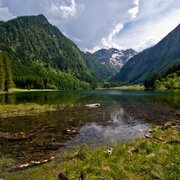
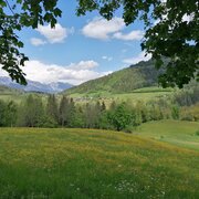
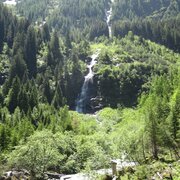
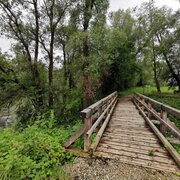
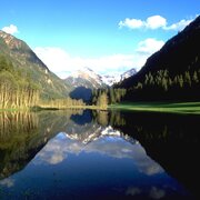
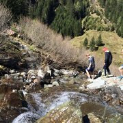
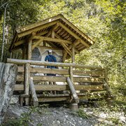
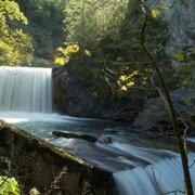
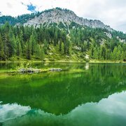
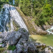
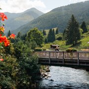
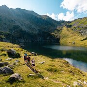
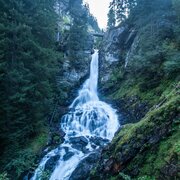
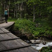
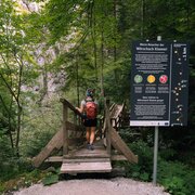
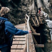
Here, waterfalls rage wildly and mountain lakes rest peacefully. Here, the gorge is exhilarating and the moor is soothing. Here, steps and boardwalks lead from below uphill, and bridges stretch high above. Here, sometimes courage is required, and endurance as well. Here, the sweet Kaiserschmarrn tastes delicious, and the clear spring water refreshes.

Here, you are in the right place!

Interesting facts about the "Wilde Wasser"

  • In 1995, initial considerations for the construction of a hiking trail above the Großer Riesach Waterfall through the Höllschlucht (Hell Gorge) began.
  • In 1996, Herbert Schütter and Sepp Schweiger conducted the first terrain exploration and created sketches.
  • In 2003, the submission documents for the nature conservation permit were prepared, and funding possibilities were clarified.
  • From April to June 2004, explorations through the Höllschlucht took place, and a route was determined.
  • In September 2004, the consortium "Alpine Wasser Untertal" was founded, consisting of planners, tourism representatives, and community representatives. Herbert Schütter took over the construction management. In December 2004, the nature conservation permit for the alpine hiking trail was granted.
  • On June 22, 2005, the construction began, and by early October, the alpine trail was already completed and officially approved.
  • On June 29, 2006, the grand opening of the alpine trail through the Höllschlucht took place.
  • In May 2013, the Rohrmooser Obertal with its water adventure paths also became part of the "Wilde Wasser".

1. National Geographic Hiking Trail

In 2009, the "Wilde Wasser" themed trail became the first tour in Austria to be awarded the title of "National Geographic Hiking Trail."

Most Beautiful Quality-Certified Tour

The next award for the themed trail came in 2012. The Austrian Hiking Villages honored the themed trail as the "Most Beautiful Quality-Certified Tour."

Top Excursion Destination by HolidayCheck

Two years later, the themed trail and the alpine trail were recognized as top excursion destinations by the holiday and travel review portal, HolidayCheck.

Luxury Travel Guide Award

In spring 2017, there was another reason to celebrate. The Luxury Travel Guide specifically awarded the service excellence around the hiking offerings with the Service Excellence Award.

Neptune State Award for Water Communities 2023

In March 2023, the municipality of Schladming was honored with the Neptune State Award for Water as the "Styrian Water Community 2023." The reasoning behind this award was that the "Wilde Wasser" themed trail is not only a tourist highlight but also makes an important contribution to raising awareness and promoting responsible management of the valuable water resource.

Spectacular Untertal

Wilde Wasser

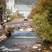
Already at the beginning of the Untertal, the Talbach Gorge welcomes you with the roaring waters of the eponymous stream. It accompanies you into the Untertal, constantly reminding you of its untamed power.

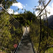
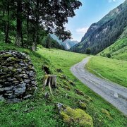
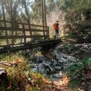
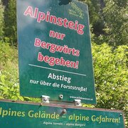
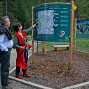
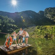
After the exhilarating gorge, it becomes a bit calmer. Here, the Untertal stream meanders silently and leisurely through the precious Tettermoor. Passing by stations of knowledge, you continue from here until reaching the large Seeleiten parking area. This marks the start of a new adventure: the Alpinsteig Höll with its two thunderous Riesach waterfalls, a dizzying suspension bridge, a trail with hundreds of steps, and the Riesachsee as an added bonus.

For the endurance-driven mountain enthusiasts, from the Riesachsee, you can hike further to the Sonntagskarseen, or starting from the Seeleiten parking area, embark on the challenging Klafferkessel Königstour. It is one of the most beautiful and demanding hikes in the region.
Interesting facts about the Untertal.

During the summer, regular bus services, including both regular and hiking buses, operate to the Untertal and the starting points of your hike:

  • Talbachklamm Circuit: Line 971
  • "Wilde Wasser" Themed Trail: Line 974
  • Alpinsteig Höll: Line 974
  • Untertal Panoramic Circuit: Line 974
  • Family Hike: Line 974
  • Klafferkessel King's Tour: Line 974

You can obtain the free bus timetable with all the current connections from our information offices or simply check it online.

  • The total length of the trail is 1,065 meters, measured between the bridge above the Großer Riesachfall and the Gfölleralm.
  • You climb along the Höllschlucht on over 15 steel ladders with a total length of 94 meters.
  • You overcome a height difference of 155 meters with over 500 steps.
  • The construction required 2,200 working hours and 20 helicopter hours.
  • At the entrance to the Alpinsteig, there is a 50-meter-long dizzying steel cable suspension bridge.
  • Another steel bridge, measuring 14 meters in length, is located just before the exit under the Gfölleralm.
  • Along the trail, you will cross 6 more bridges.
  • You can admire the impressive water scenarios from 2 observation decks.

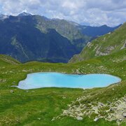
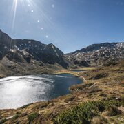
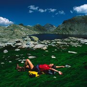
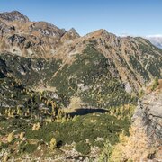
The Klafferkessel is one of the most water-rich areas in the Alps and a relic from the Ice Age. The high plateau of the Klafferkessel is located in the Schladminger Tauern between the two high valleys of the rear Untertal - the Riesachtal and the Steinriesental - as well as the Lungau Lessachtal. The nature reserve encompasses a former glacial floor and consists of two interlocking cirques with around 30 smaller and larger mountain lakes. Some of these lakes remain partially frozen well into the summer.

The largest of these lakes are the Untere Klaffersee, Rauhenbergsee, and Obere Klaffersee, as well as the Kapuzinersee in the neighboring Lämmerkar. The Angersee, Zwerfenbergsee, and Lungauer Klaffersee in the southern Lungau region are also included.

The landscape is characterized by rocks and crags, interspersed with lush green mossy meadows. The Klafferkessel is also surrounded by some impressive peaks:

  • Greifenstein: a popular photographic motif near the Klafferscharte
  • Greifenberg: the highest point on the Schladminger Tauern Höhenweg with a magnificent view over the lake plateau
  • Waldhorn: located east of the Klafferkessel and surrounded by five larger mountain lakes.

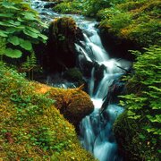
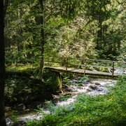
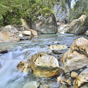
The roaring Talbach unfolds its untamed power in the gorge, flowing over rock steps, forming rapids, and shaping the rock. Its fine mist refreshes the air in the gorge during the summer, allowing you to take a deep breath.

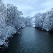
In winter, the combination of moist air and cold transforms the Talbachklamm into a world of ice and snow. And in spring, the melting water provides a particularly intense water experience.

The path through the Talbachklamm from Schladming to Untertal-Dorf is illuminated until midnight.

The Toteisboden in the Untertal is located approximately 300 meters upstream from the parking lot at Hinkerbrücke, directly along the Wilde Wasser themed trail.

This steep slope bog is a moss-covered cold air block slope and represents an ecological rarity in the Eastern Alps due to its location and microclimatic characteristics.

What may sound very technical actually has quite simple effects: The uniqueness of the Toteisboden lies in openings in the slope that draw in air during winter and release the cold air again during summer, essentially functioning as a natural refrigerator.

In the area of the Toteisboden in the Untertal, there is also interesting and rare tundra vegetation such as red peat moss or dwarf birch.

Tettermoor is a through-flow bog named after the nearby Tetter Inn. After heavy rainfalls and during the spring snowmelt, the Tettermoor temporarily transforms into Tettersee. This lake serves an important function in protecting the villages of Untertal and the mountain town of Schladming from flooding.

Within and around the Tettermoor, you will also discover rare plant species that have adapted specifically to the silicate-poor and low-calcium conditions, such as the brown sedge. The Untertalbach also meanders through the moorland here, providing a wonderful opportunity to take off your shoes and walk barefoot along the stream.

And there's something else you can do at Tettermoor: fishing, especially fly fishing! You can obtain the necessary fishing permit directly from the Tetter Inn.

Historical Obertal

Wilde Wasser

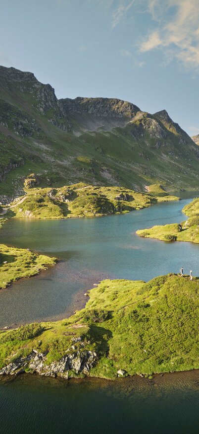
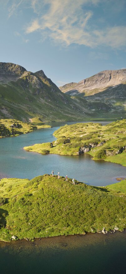
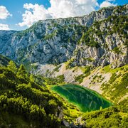
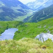
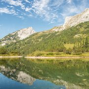
In Obertal, you can wander along the Miner's Path and the Smelting Furnace Trail, following in the footsteps of the miners. Learn about the history of the valleys at the Nickel Museum Hopfriesen, a restored smelting furnace. From there, you can set off towards the Obertal Alm Circuit. This trail will take you to the fjord-like Giglach Lakes and the natural gem, Duisitzkar Lake.

Alternatively, you can choose to start your hike from Eschachalm. Here, you have options: a hike to Keinprechthütte or a hike along the Mountain Lake Trail to Ursprungalm.

Interesting facts about the Obertal

During the summer, regular scheduled buses and hiking buses operate to Obertal and to the starting points of your hike:

  • Circular hike Neualm-Duisitzkar Lake: Line 973
  • Obertal Alm Circuit: Line 973
  • Miner's Path: Line 973
  • Smelting Furnace Trail: Line 973
  • Hike to Keinprechthütte: Line 973
  • Mountain Lake Trail: Line 972

You can obtain the free bus schedule with all current connections at our information offices or simply check online.

Dogs are perceived as a threat by the alpine and grazing livestock as well as the wildlife. For this reason, the local alpine farmers have decided to restrict the alpine area in the rear of Obertal for dogs. The ban applies from Eschachalm towards Keinprechthütte and also towards Duisitzkar Lake. We kindly ask for your understanding and compliance with the prohibition.
The former silver mine in the valley floor of Obertal has been adapted as a show mine according to mining law. The history of mining in the Bromriesen area dates back to the 16th century when extraction took place in the area of the Annastollen. Initially, the extraction was done using the fire-setting technique, and later in the 17th and 18th centuries, it transitioned to blasting work.
Johann Rudolf Ritter von Gersdorff and his grandson continued the extraction of nickel until its closure in 1876. Due to the discovery of large nickel deposits in New Caledonia and the subsequent price decline, mining in Bromriesen was no longer economically viable and was discontinued.

Following in the footsteps of the miners. During a tour of the Annastollen, you will get a sense of the hard work of the miners in the olden days. The Annastollen is the main entrance to the Bromriesen tunnel system and is located at an altitude of 1,226 meters.

From late May to early October, you can participate in a tour on Wednesdays and Fridays.


The Nickelmuseum Hopfriesen is a part of the historical mining in the Obertal of Rohrmoos, alongside the Bromriesen mine. The former nickel smelting furnace has been transformed into a modern museum, shaped like a prism made of glass and steel, which has been inserted into the ruins. The choice of building materials reflects two elements that played a significant role in the formation and processing of nickel. The museum provides an impressive insight into the challenging lives of the miners.

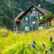
This multi-day hiking tour offers a unique hiking experience! Explore the beautiful Obertal region on magnificent hiking trails with overnight stays in rustic mountain huts.