Weißenbach - Luserwasserfall - Weißenbach
easy partially opened Water hikes · Haus-Aich-Gössenberg
Current Conditions
Elevated on 16/04/24
The Goassweg (West) from the intersection below Rabingerhof 7/7A to the junction with Landesstraße Weißenbach is currently closed due to wind.
Tour characteristics
Stamina
Technique
Tour-Infos
Distance: 6.45 km
Duration: 03:00 h
Ascent: 273 m
Descent: 273 m
Best time of year
january
february
march
april
may
june
july
august
september
october
november
december
The tour
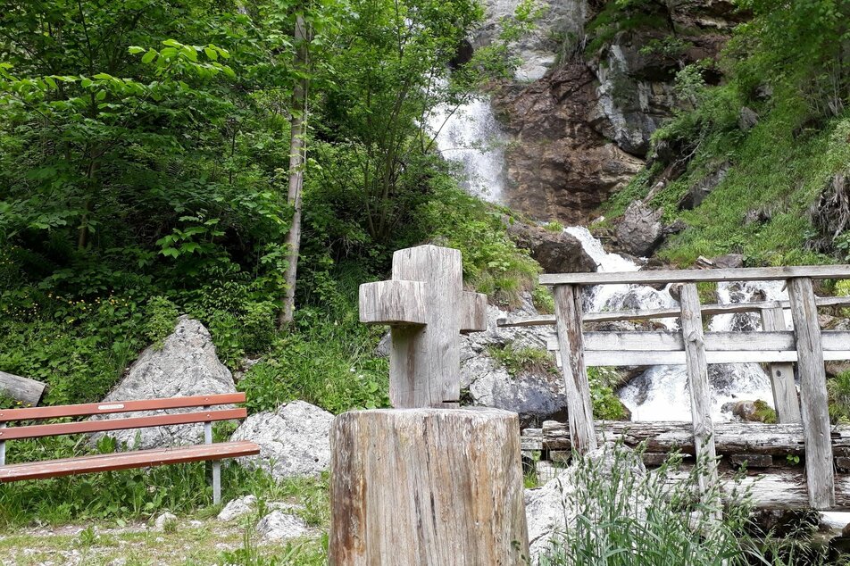
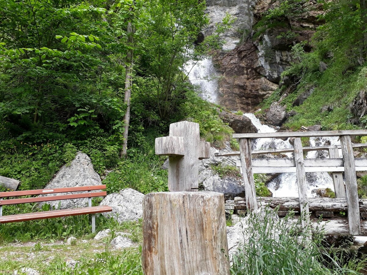
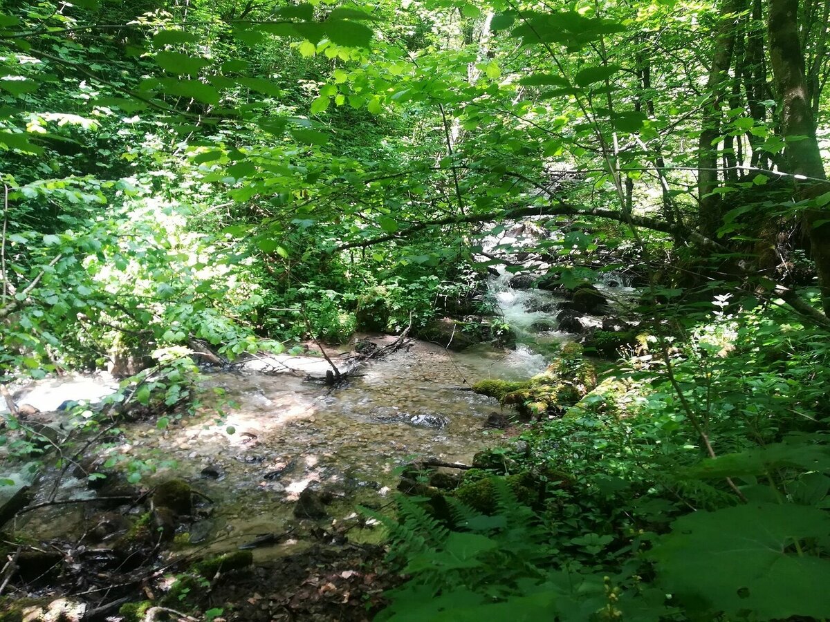
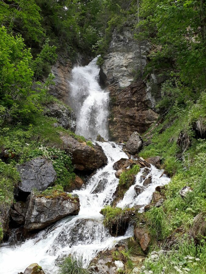
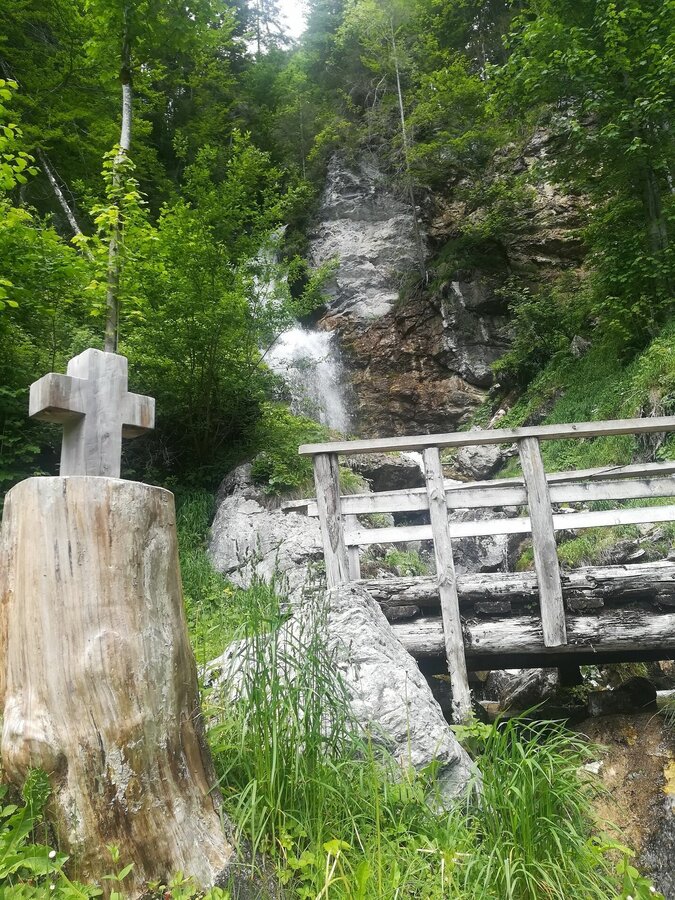
The hike to the Luserwaterfall is suitable for the whole family. However, please take extra care when walking the parts of the route on the Rössingstraße, because you walk along the road. The path along the brook and through the forest to the waterfall is especially appealing to children.
Gallery


More information
Turn-by-turn directions
From the village square in Weißenbach, head west along Rössingstraße to the Luserwasserfall junction. Follow the dirt road and follow the stream to the waterfall. Continue to Burgstaller and Rabingerhof along the dirt road back to Weißenbach.
Getting there
Ennstalbundesstraße (B320) - Haus im Ennstal - Weißenbach
during Austrian school hours: Postbus (L900)
Parking
village square Weißenbach
Start
Village square in Weißenbach
Destination
Village square in Weißenbach
Equipment
sturdy shoes, sticks if necessary
Author’s recommendation
You can also visit the prehistoric sites that are nearby. Additional time needed approx. 1 hour.
Tips, hints and links
Haus-Aich-Gössenberg hiking map
You might also be interested in...

Weather forecast
Date
Thick clouds throughout the day and rain with varying intensity.
Rather cloudy in the morning, then sunny spells will develop gradually.
Clear in the early morning, later rather cloudy with slight chance of sunny spells.


