Schladminger Tauern High Trail | 5-days-tour
moderate tour.status.partially-opened Multi-day tours · Schladming
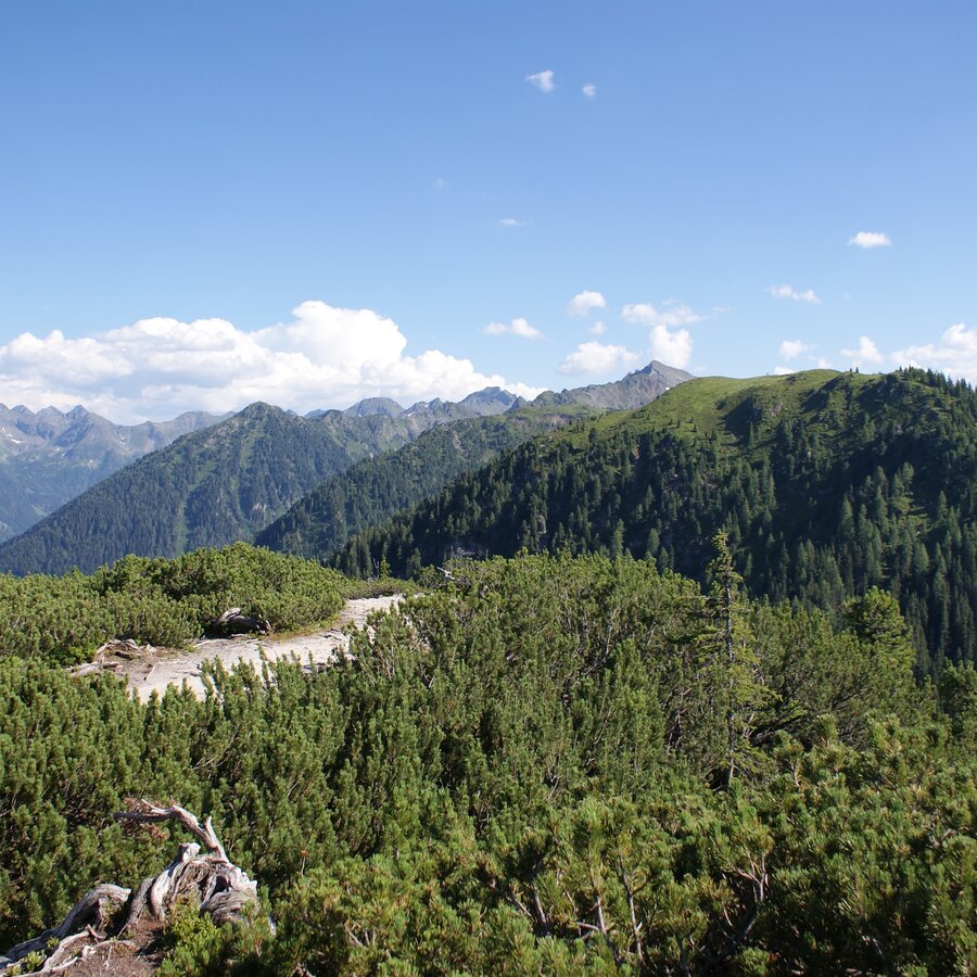
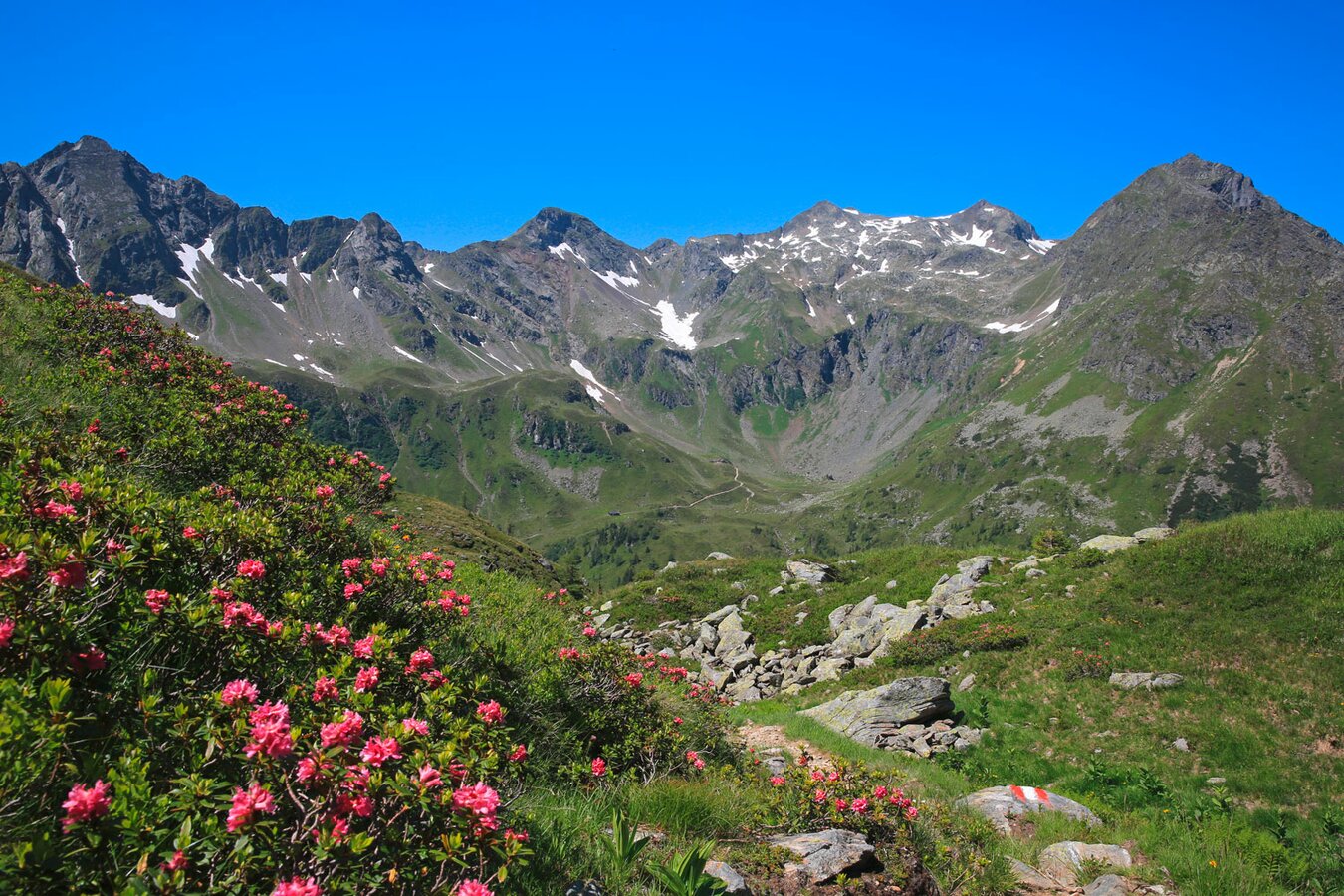
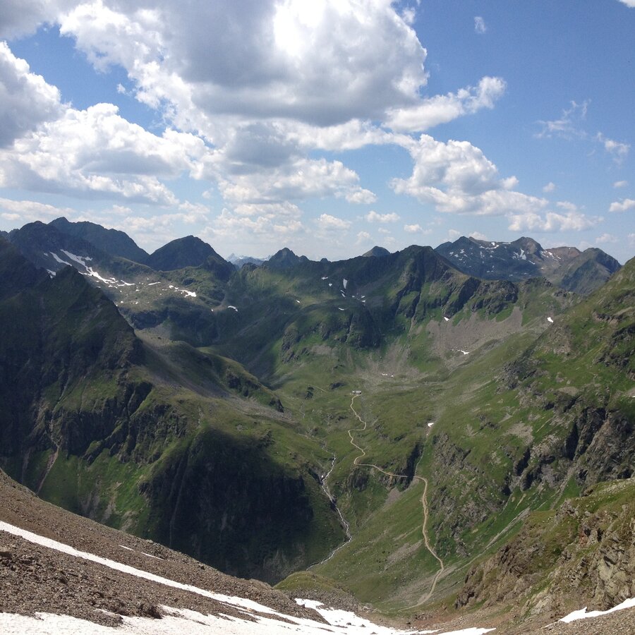
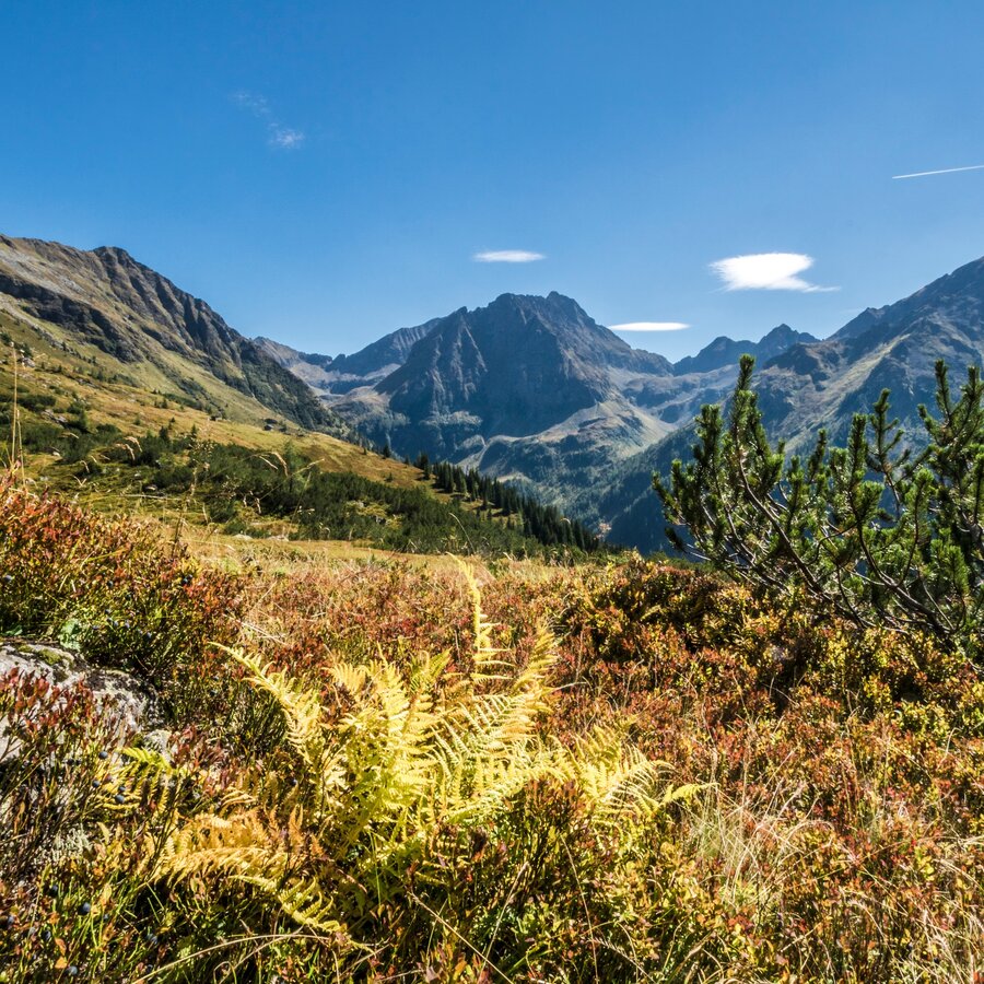
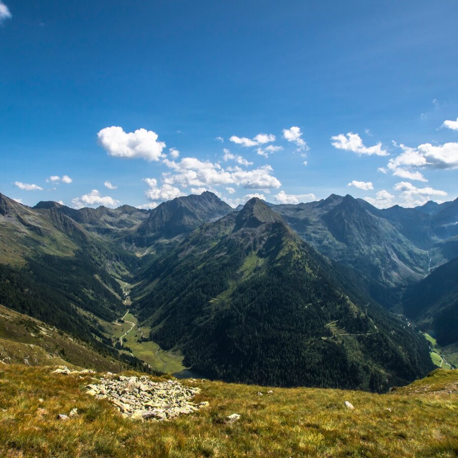
Due to its unique geological features, the wealth of plant and animals species, and the special character of the surrounding mountain world, this particular section of the Central Alpine Trail through the Schladminger-Tauern is one of the most beautiful hiking tours to be found anywhere in the Alps.
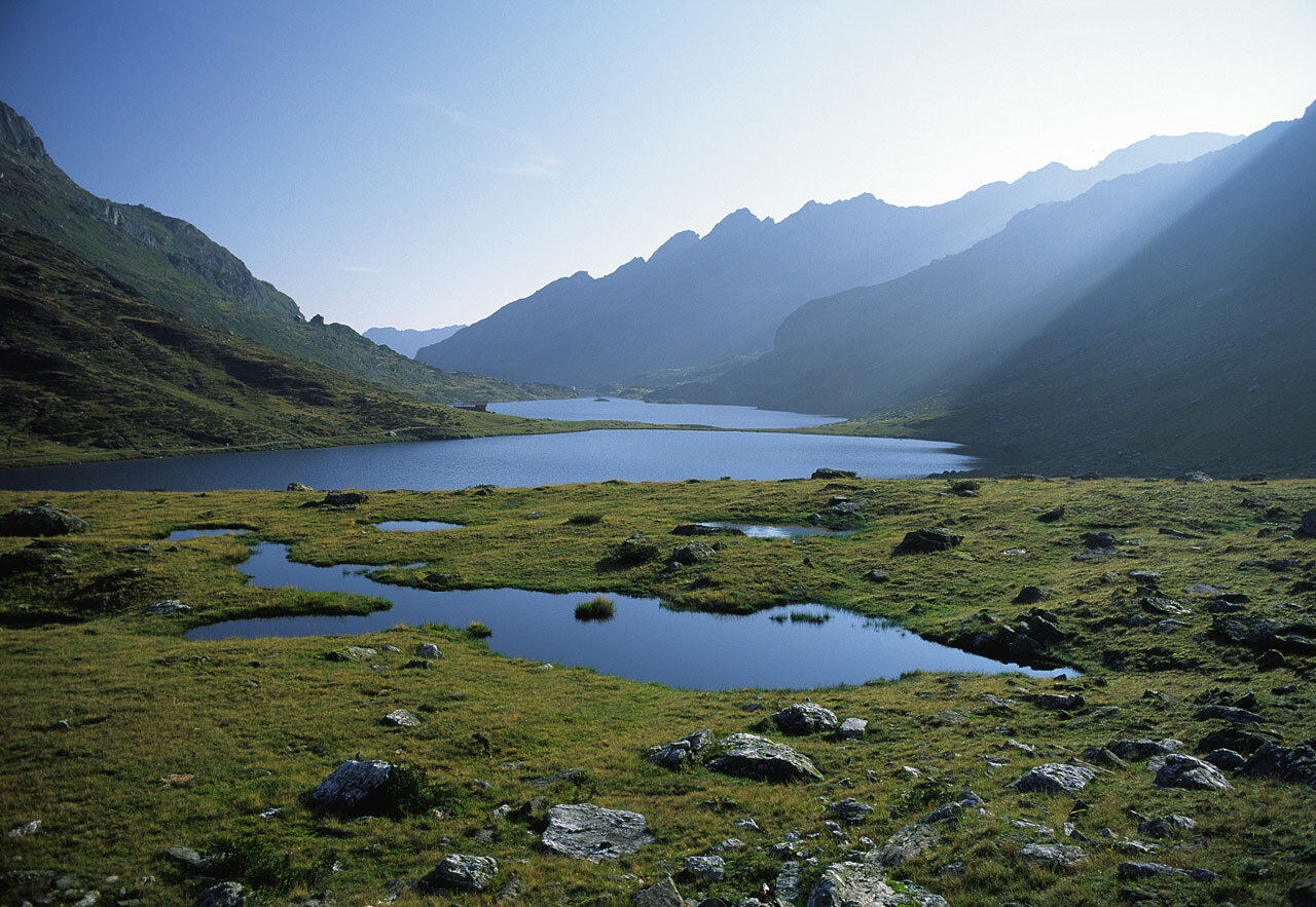
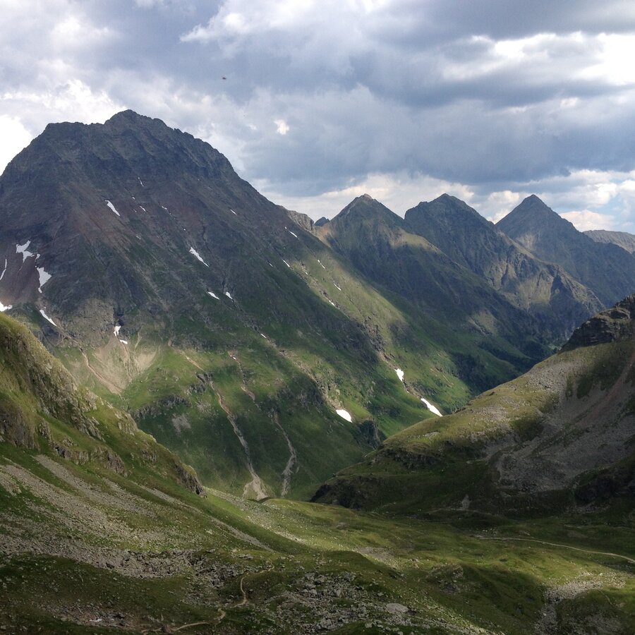
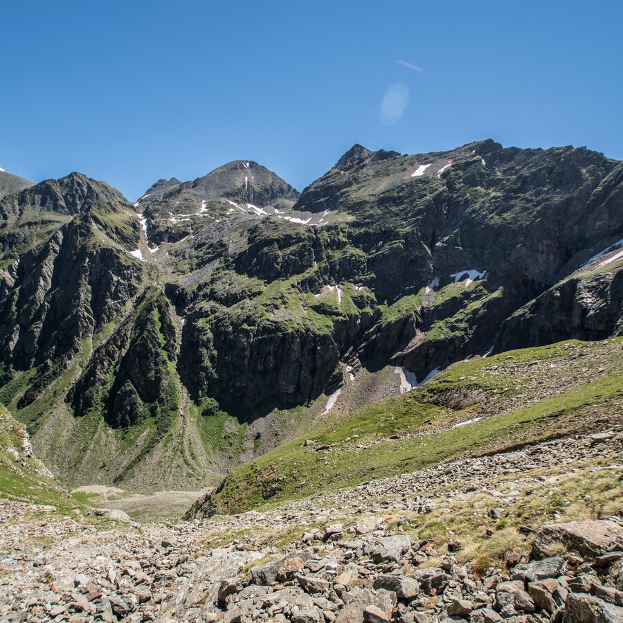
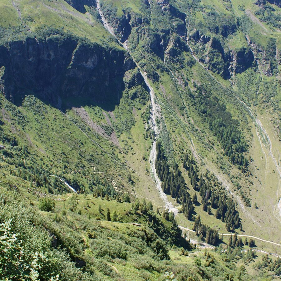
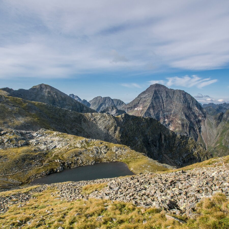
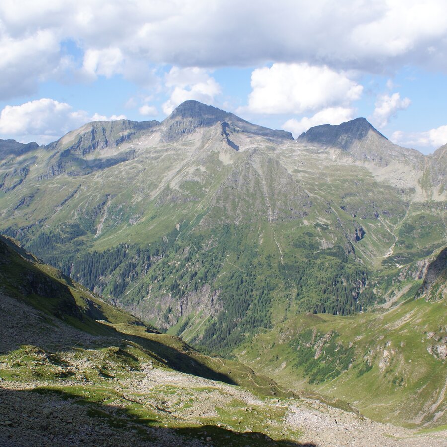
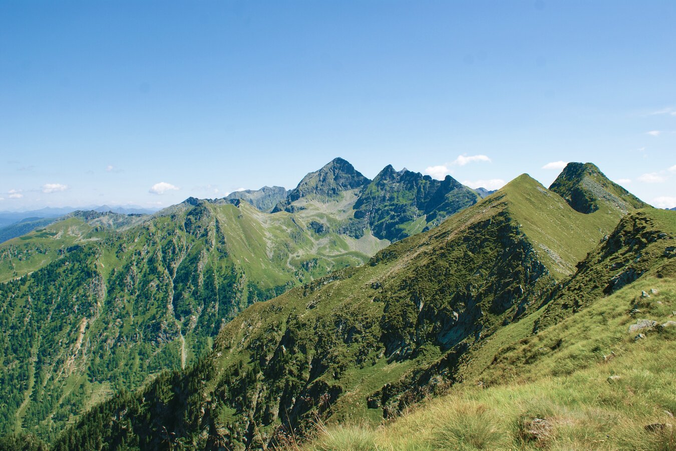
Dozens of tarns and waterfalls of the Niedere Tauern range, you will find a majority of those in the valleys, basins and coombes of the Schladminger Tauern. Pristine, untamed streams with thunderous waterfalls and countless small rivulets flowing from springs beneath the Tauern mountains add to the appeal and charm of this region. In addition, some truly rewarding mountain destinations, such as the Hochgolling, the highest mountain in the Niedere Tauern, along with the Höchstein, Hohe Wildstelle, Steirische Kalkspitze and many more, all lie directly along the path.
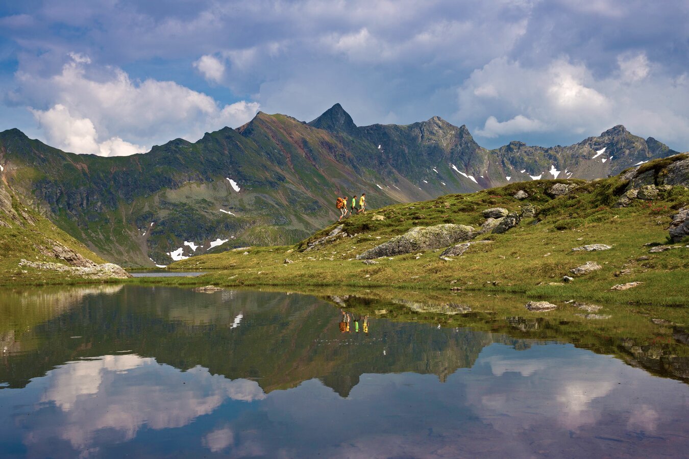
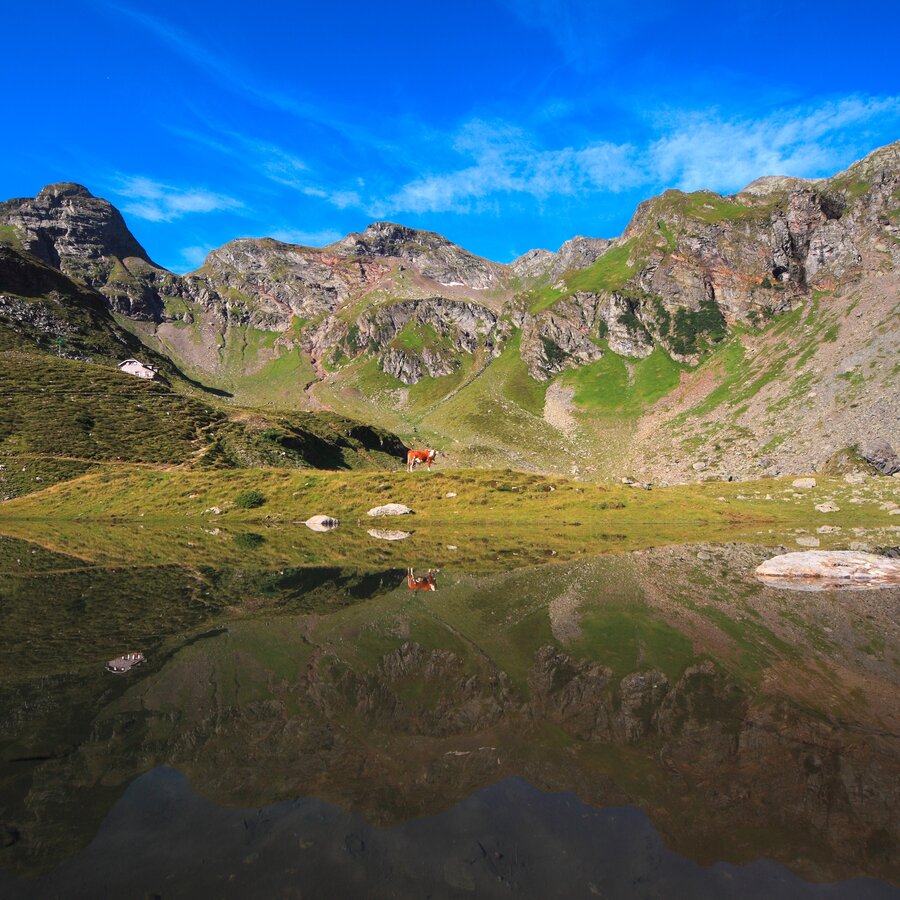
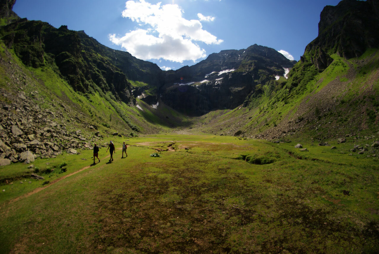
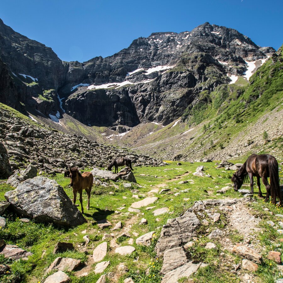
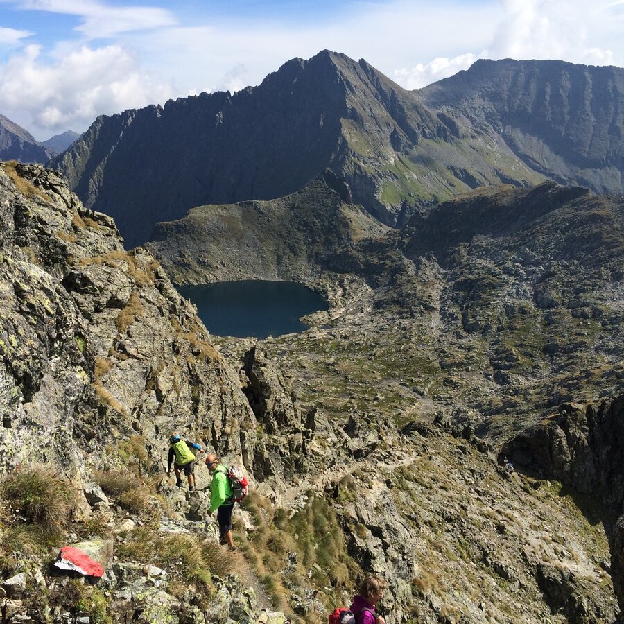
Particularly unique impressions await you during a tour through the Klafferkessel and on the shores of the lakes there. An arctic-style lakescape, with flora you would normally only find at more northern latitudes, always guaranteed to captivate each and every alpine hiker.
This multiple-day tour is suitable for hikers aged 15 years and older. For younger kids (8 to 14 years) we recommend the easier "4-day-hike Obertal".
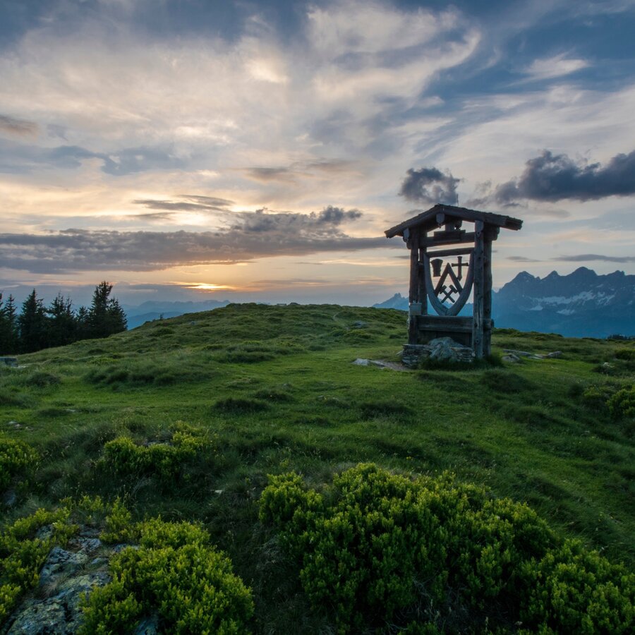
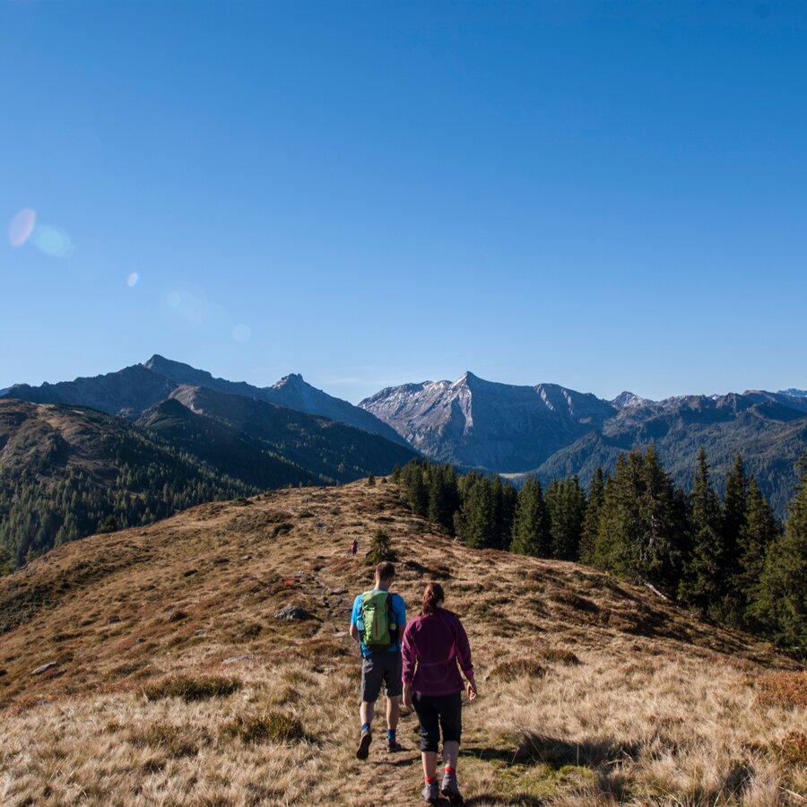
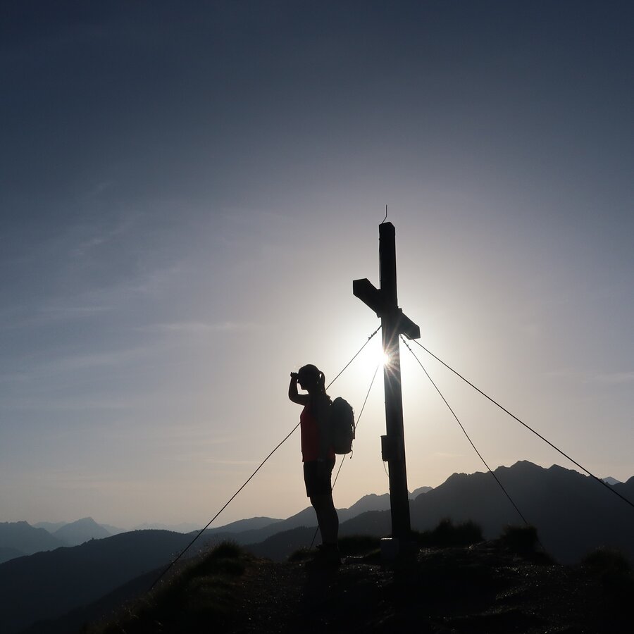
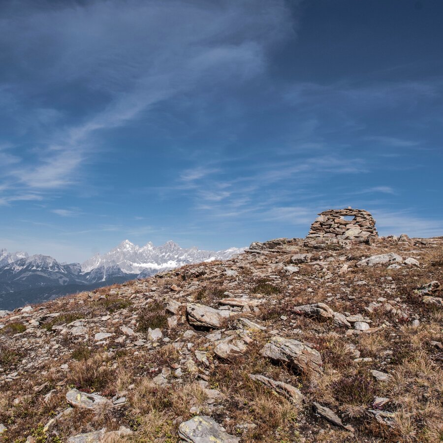
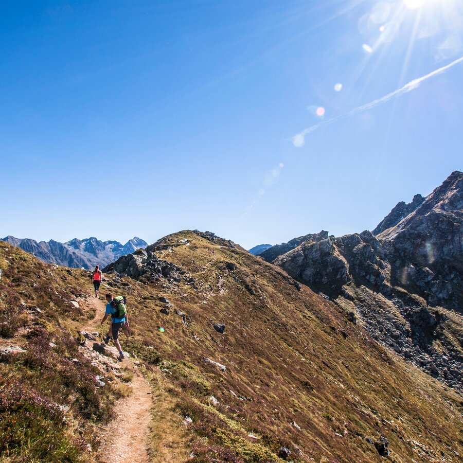
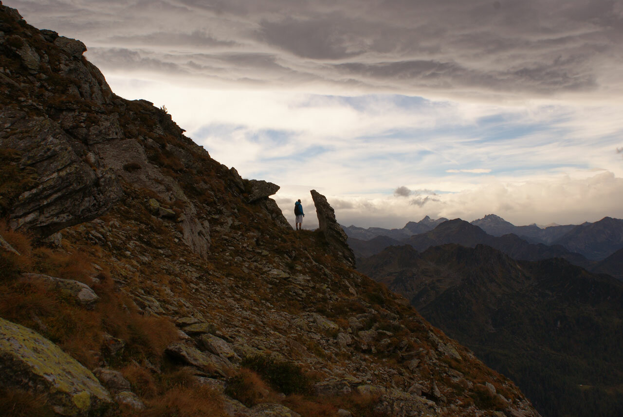
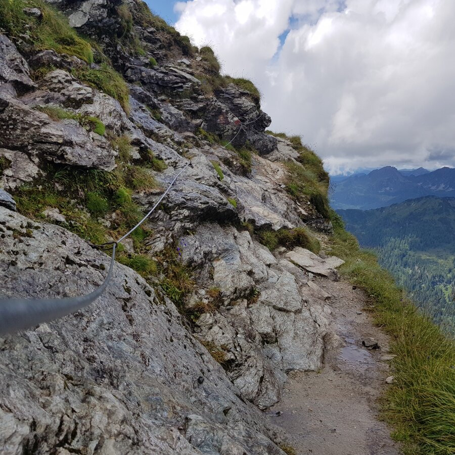
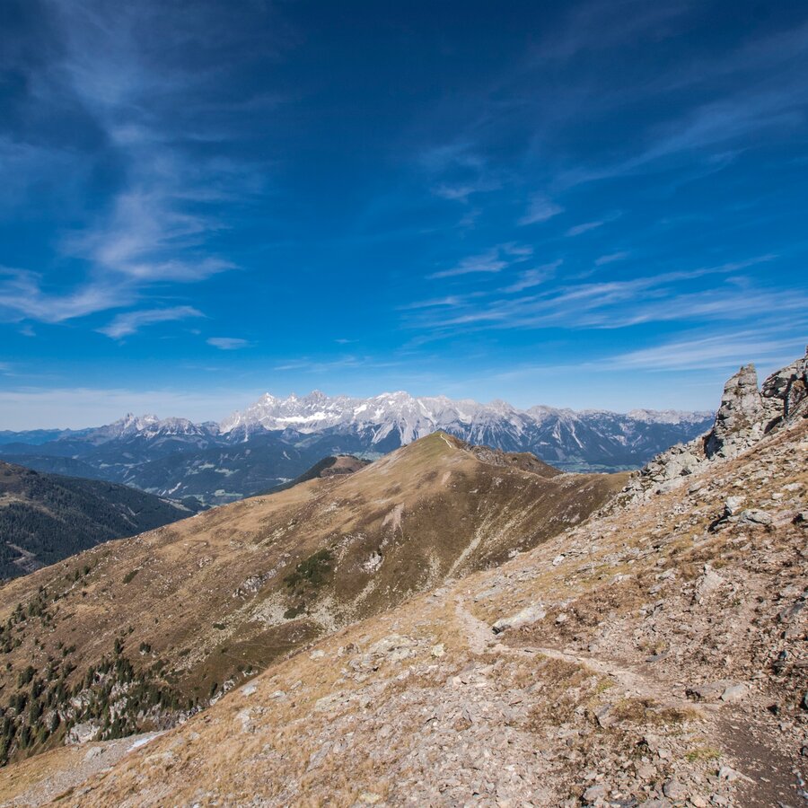
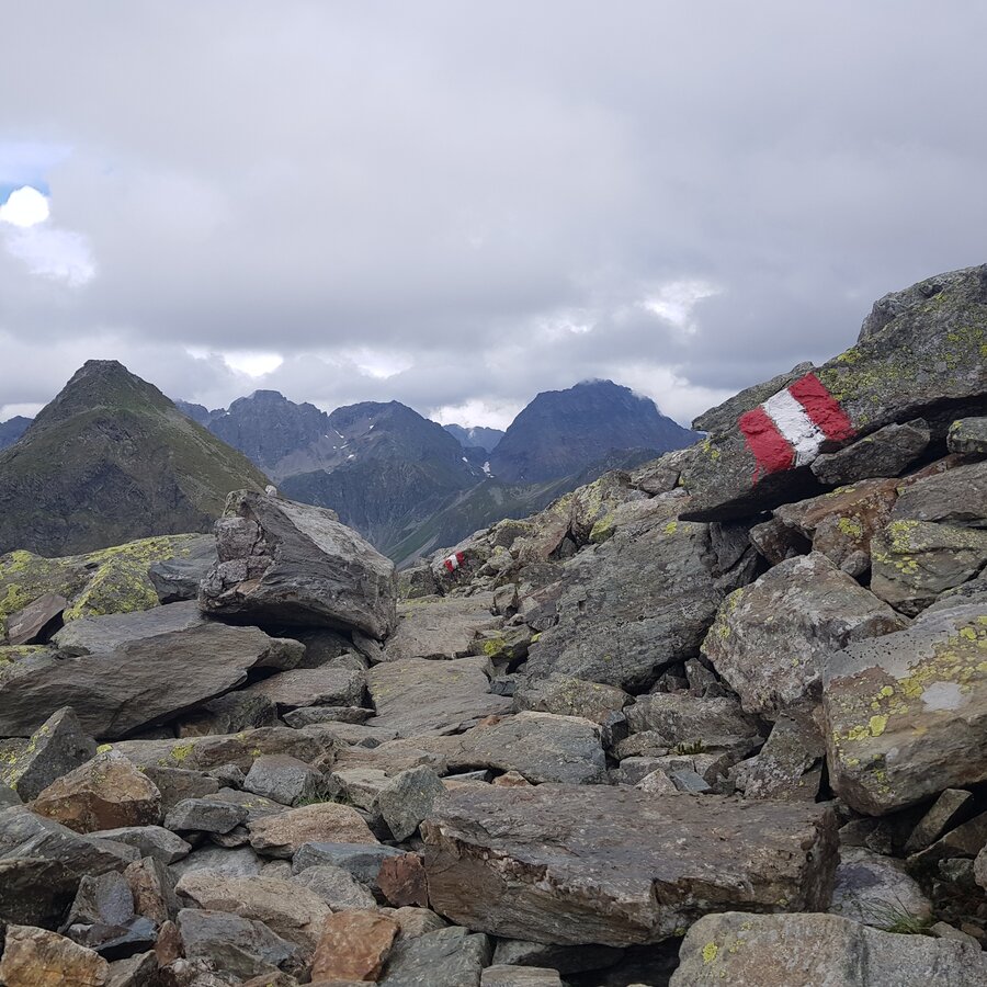
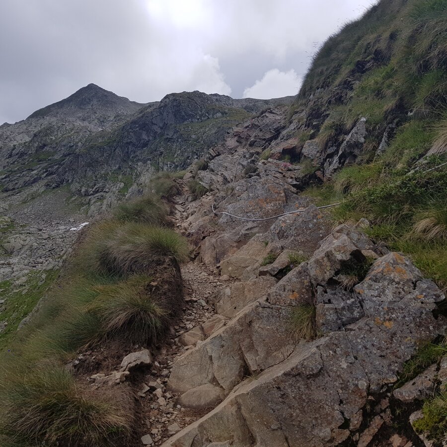
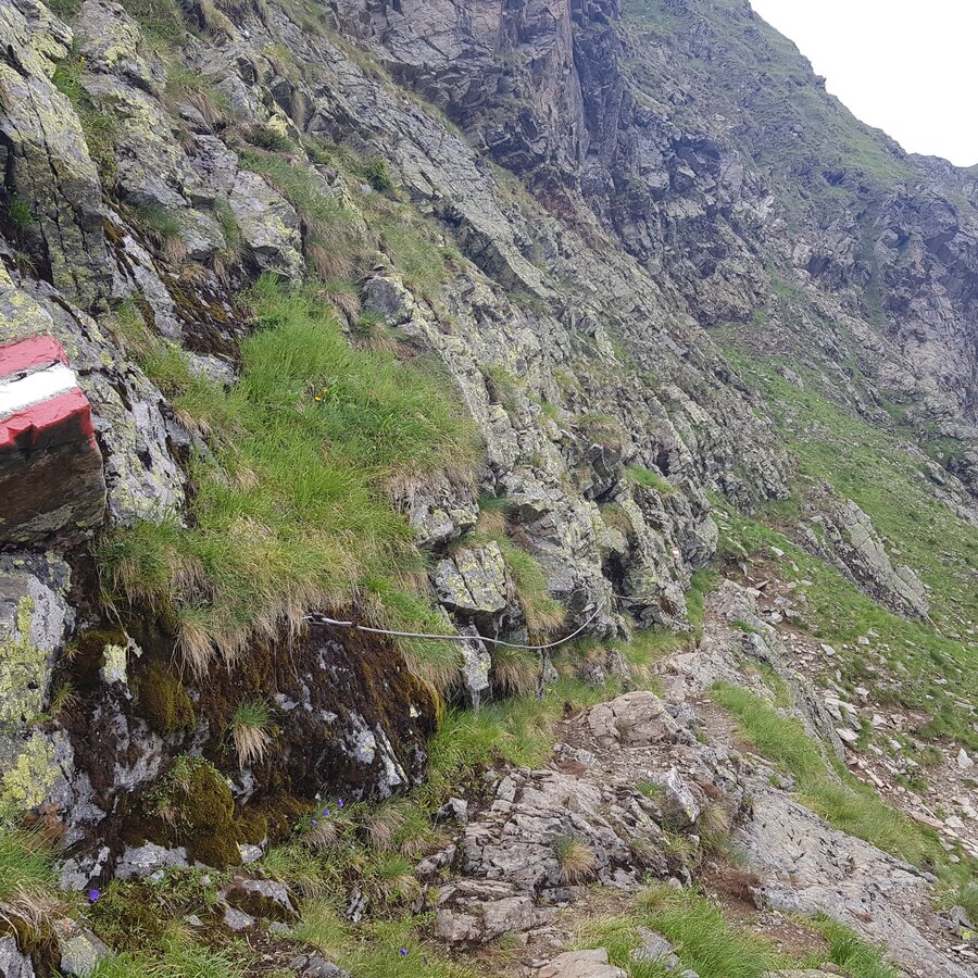
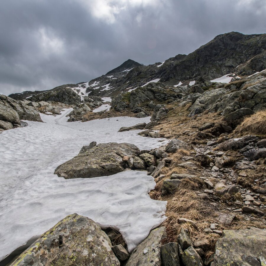
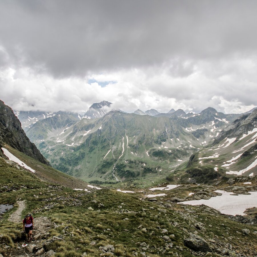
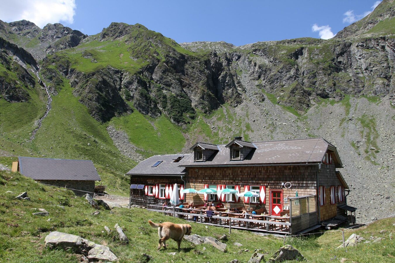
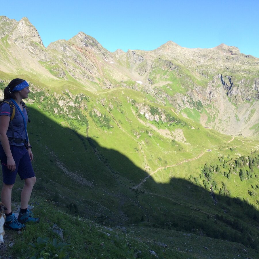
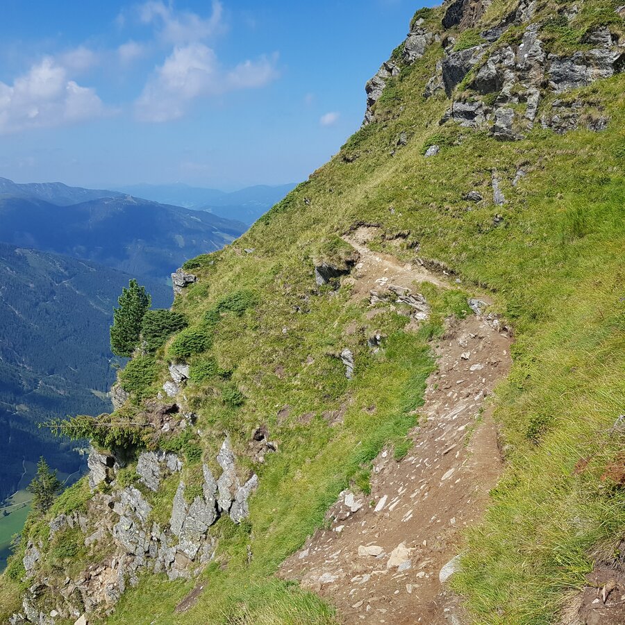
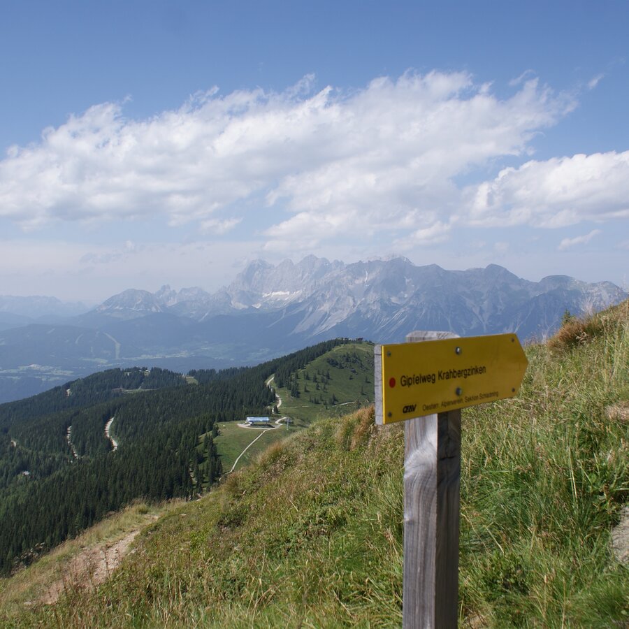
Gallery


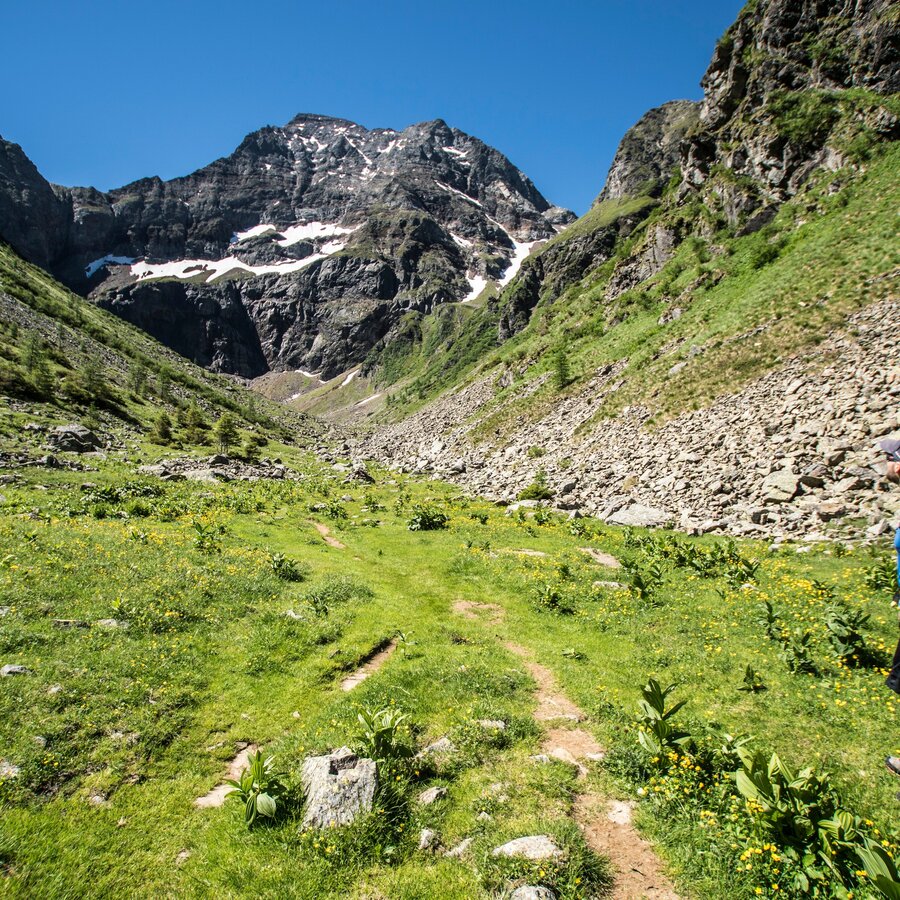
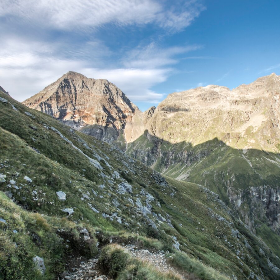
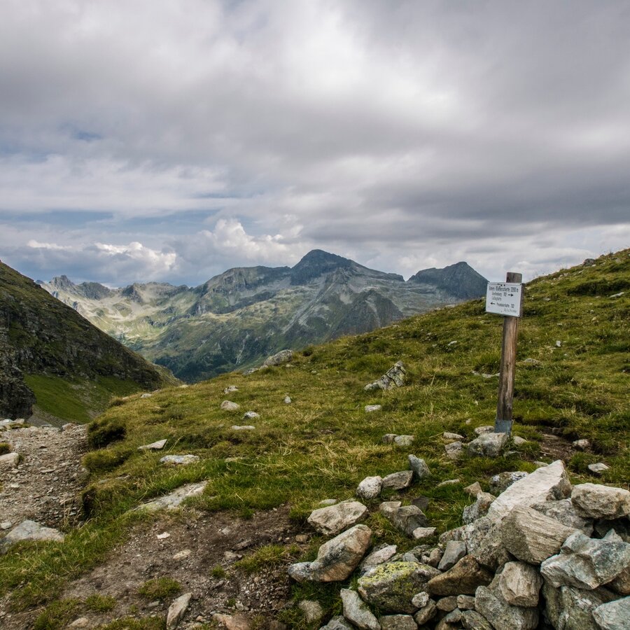
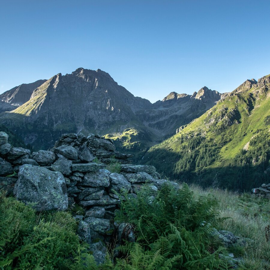


Stage 1 - 6 to 7 hours Hochwurzen High Trail to the Giglachseen Lakes
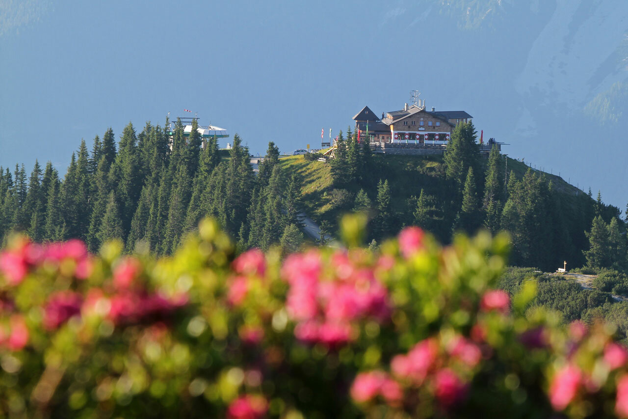
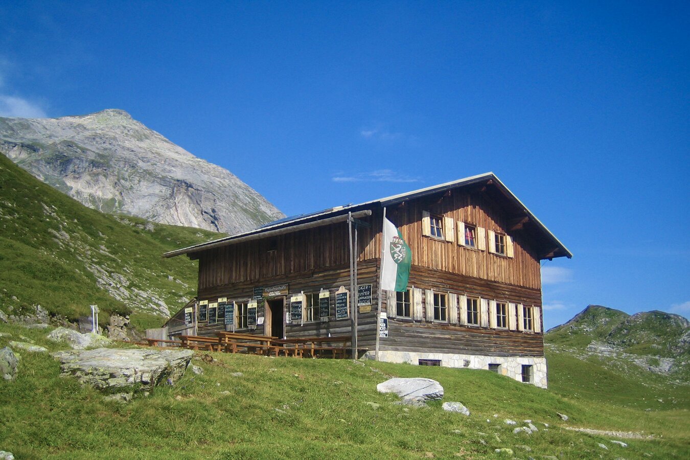
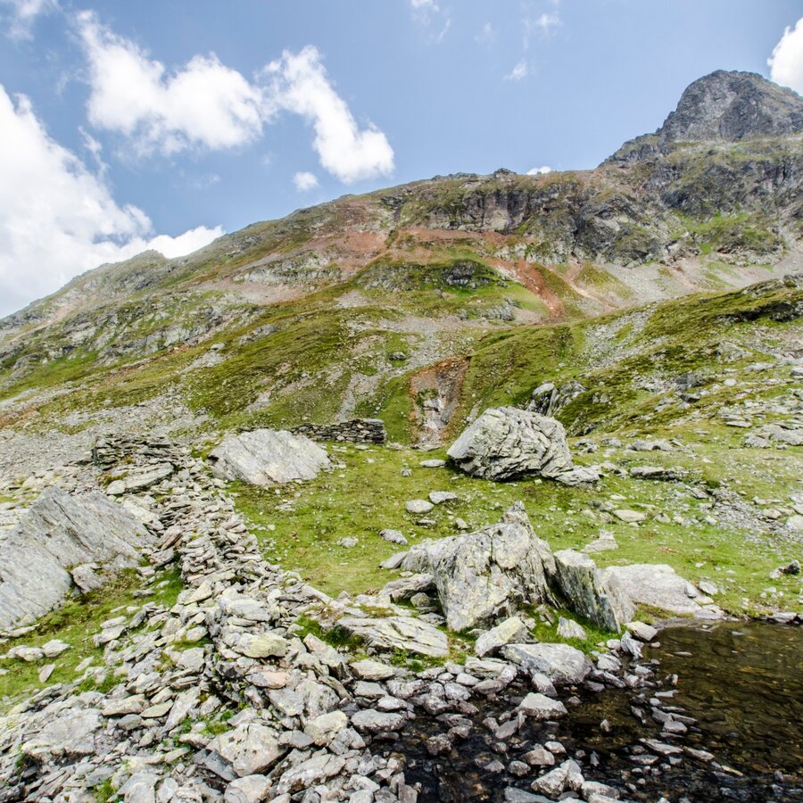
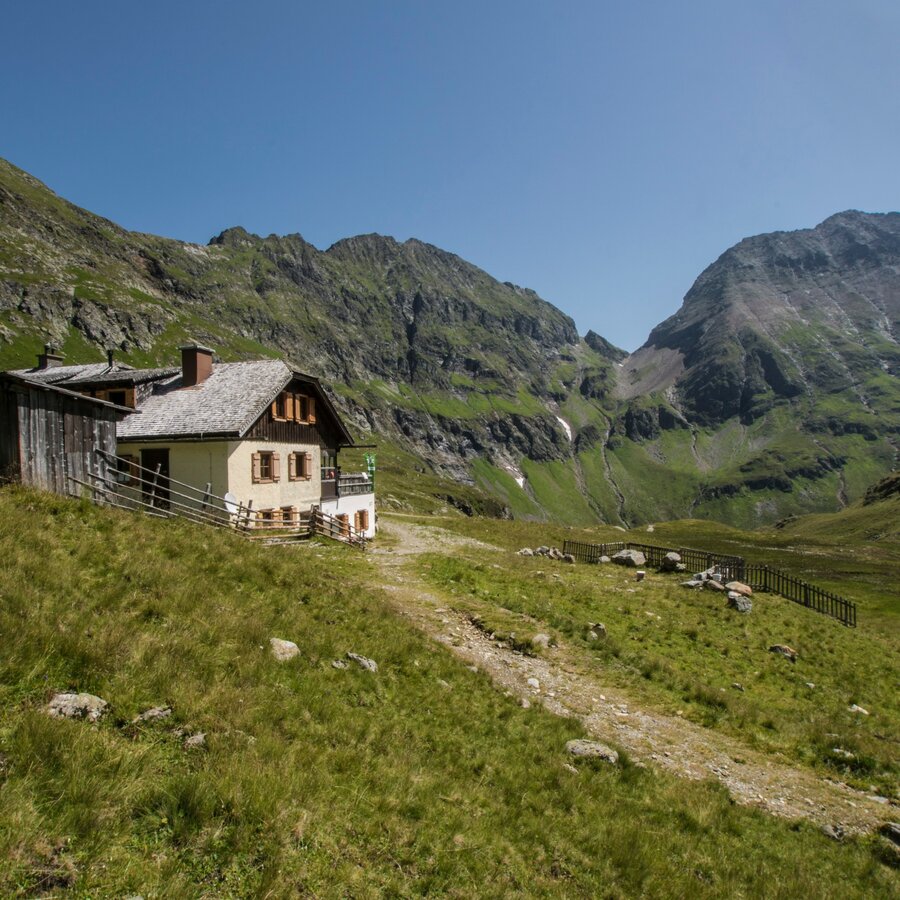
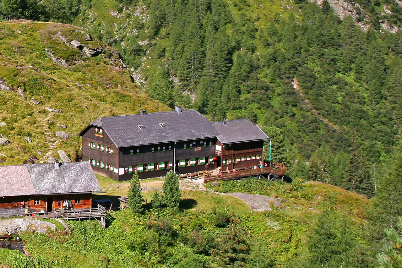
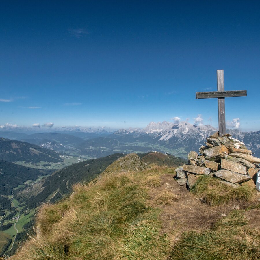
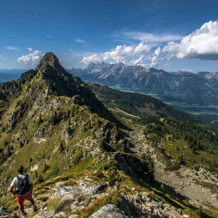
Start out from the Hochwurzenhütte (accessible on the Hochwurzen cable car or via hiking path No. 60 from Rohrmoos). From the Hochwurzen car park, the trail takes us after just a few minutes via a newly laid-out path up the extended grassy ridgeline of the Rossfeld. From this easily reached scenic mountain, we can hike down to the south to the depression of the Leiterfußsattel with a sign for several different trails. Our path now takes us on trail #773 which originates in Obertal, leading us out of this alpine saddle through a battle-zone forest interspersed with numerous pine trees up to a popular scenic peak, the Guschen (elev. 1,983 m). From the summit cross on the Guschen, our path now takes us over the Schneidergipfel, and across the western flank of the Hochfeld and the striking Schiedeck mountain (2,339 m). The Klammsee and the Brettersee, as well as the eastern wall of the Kammspitze with its dramatically shaped toothed ridgeline, represent the heart of this magnificent path. The hike concludes with numerous small switchbacks, which meander down a steep mountainside to the Ignaz-Mattis-Hütte.
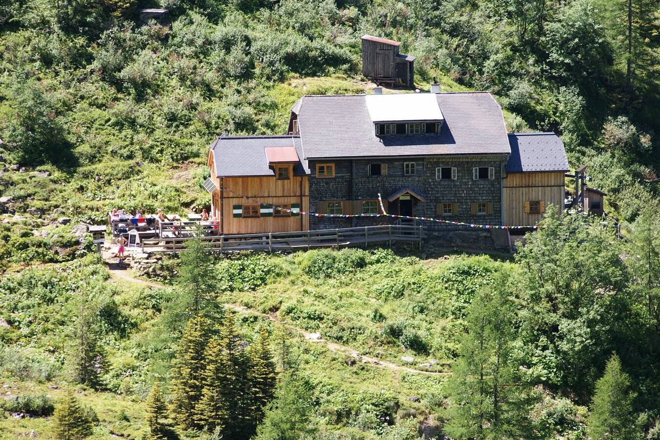
Variant 1: By public bus from Schladming and Rohrmoos to the Ursprungalm (or by private vehicle from Pichl or Schladming-Rohrmoos. From the Ursprungalm in around 1 hour to the Giglachseehütte or 11/4 hours to the Ignaz-Mattis-Hütte (hut run by the Alpine Association).
Variant 2: From the Ursprungalm up the so-called “Kranz”. Descent via the Brotrinnl to the Oberhütte. From the Oberhütte, path No. 702 to the Akarscharte (elev. 2,315 m). Opportunity to climb to the summit of the Steirische or Lungauer Kalkspitze (from the Akarscharte ca. 1/2 hour). Followed by a descent via the Znachsattel to the Giglachseehütte or Ignaz-Mattis-Hütte .
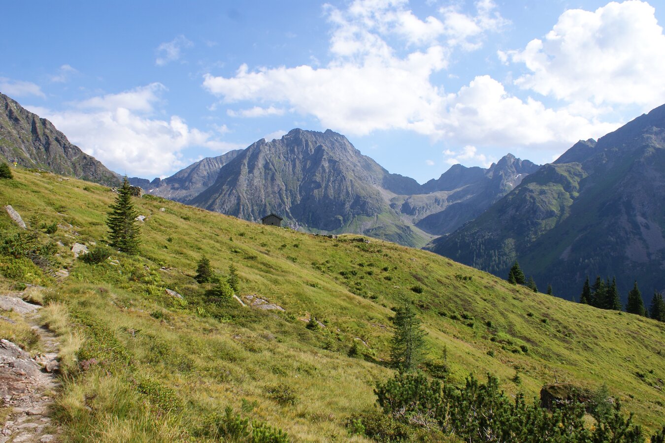
Stage 2 - 4 hours To the Giglachseen and the Keinprechthütte
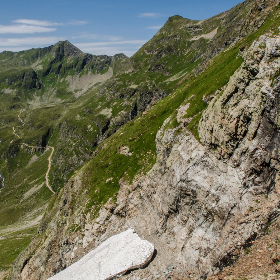
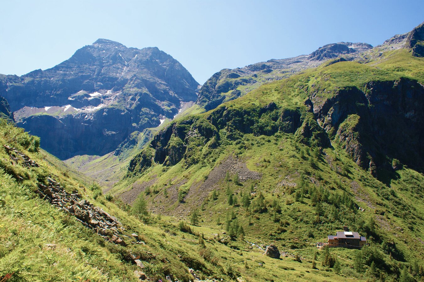
Variant 1 - via the Rotmandlspitze: Setting out from the Giglachseehütte or the Ignaz-Mattis-Hütte, path No. 702 leads us to the eastern end of the Giglachseen lakes. From here the trail takes us on a moderate climb to the outer Knappenkar, then ascends very steeply in parts to the Rotmandlspitze (2,453 m). From there we continue to the Kruckeckscharte (2,303 m). Here the trail takes us downhill through a series of large hairpin bends until we again come to the beautifully situated Keinprechthütte at 1,872m above sea level.
Variant 2 - past Duisitzkarsee lake: From the Ignaz-Mattis-Hütte or Giglachseehütte across the Murspitzsattel on path No.775 to the shore of the Duisitzkarsee (1,648 m) with its two famous huts, the Duisitzkarhütte and Fahrlechalm .
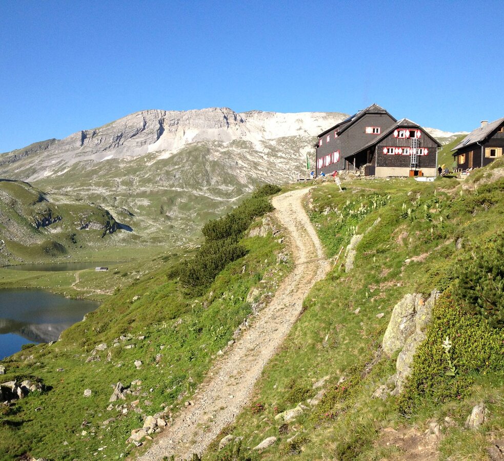
Stage 3 - 6 to 9 hours Keinprecht-Hütte - Gollinghütte (long stage)
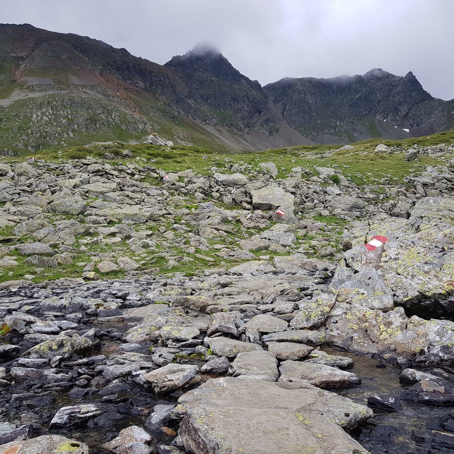
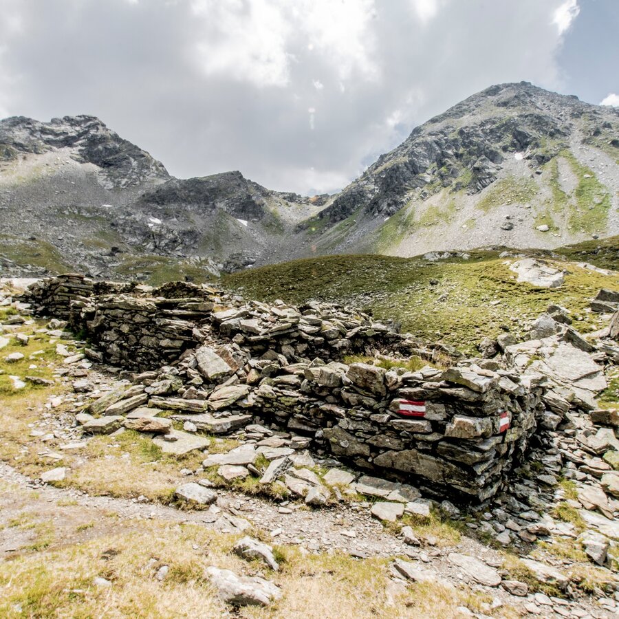
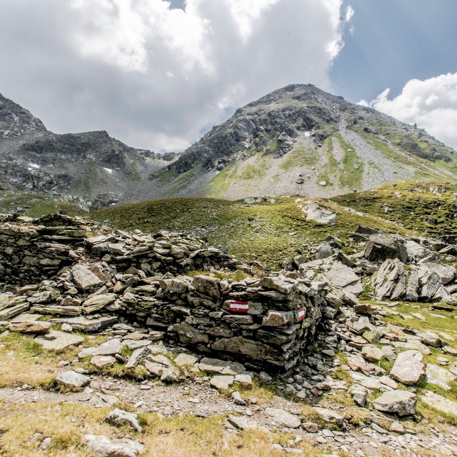
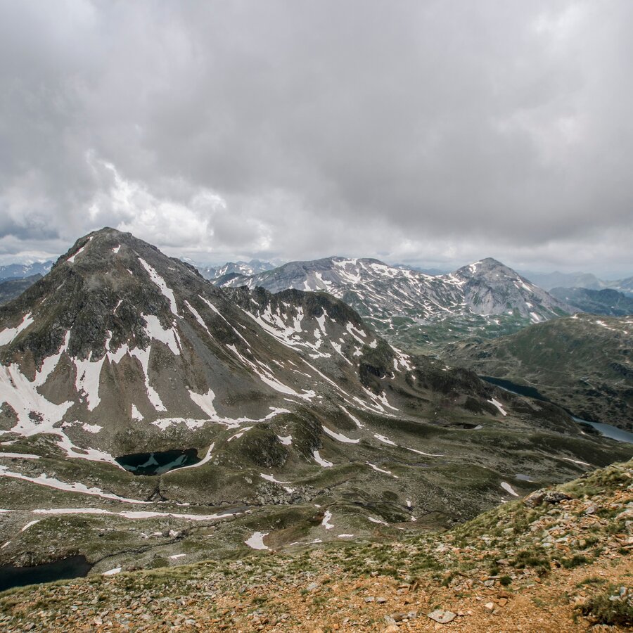
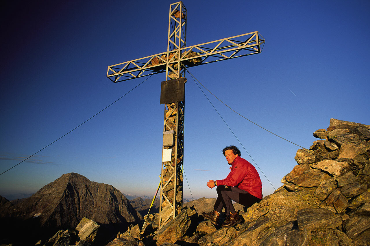
Departing from the Keinprechthütte, we follow path No. 702 through a large alpine cirque until we reach a fork in the trail. We continue alongside an area of pine trees to the Trockenbrotscharte (2,237 m). Two trail variants are now open to us: either a high trail – which begins at the Landawirtseehütte, or via the regular path to the inner Göriachwinkel. From here the trail goes to the Gollingscharte (2,326 m). From the Gollingscharte there is an opportunity to climb to the summit of the Hochgolling (2,963 m). Any ascent on this summit requires surefootedness, a head for heights, along with alpine experience. From the Gollingscharte, down across a field of ice and scree to the Gollingwinkel. In a quarter of an hour we will make our way across the Götterplatz and come to the Gollinghütte.
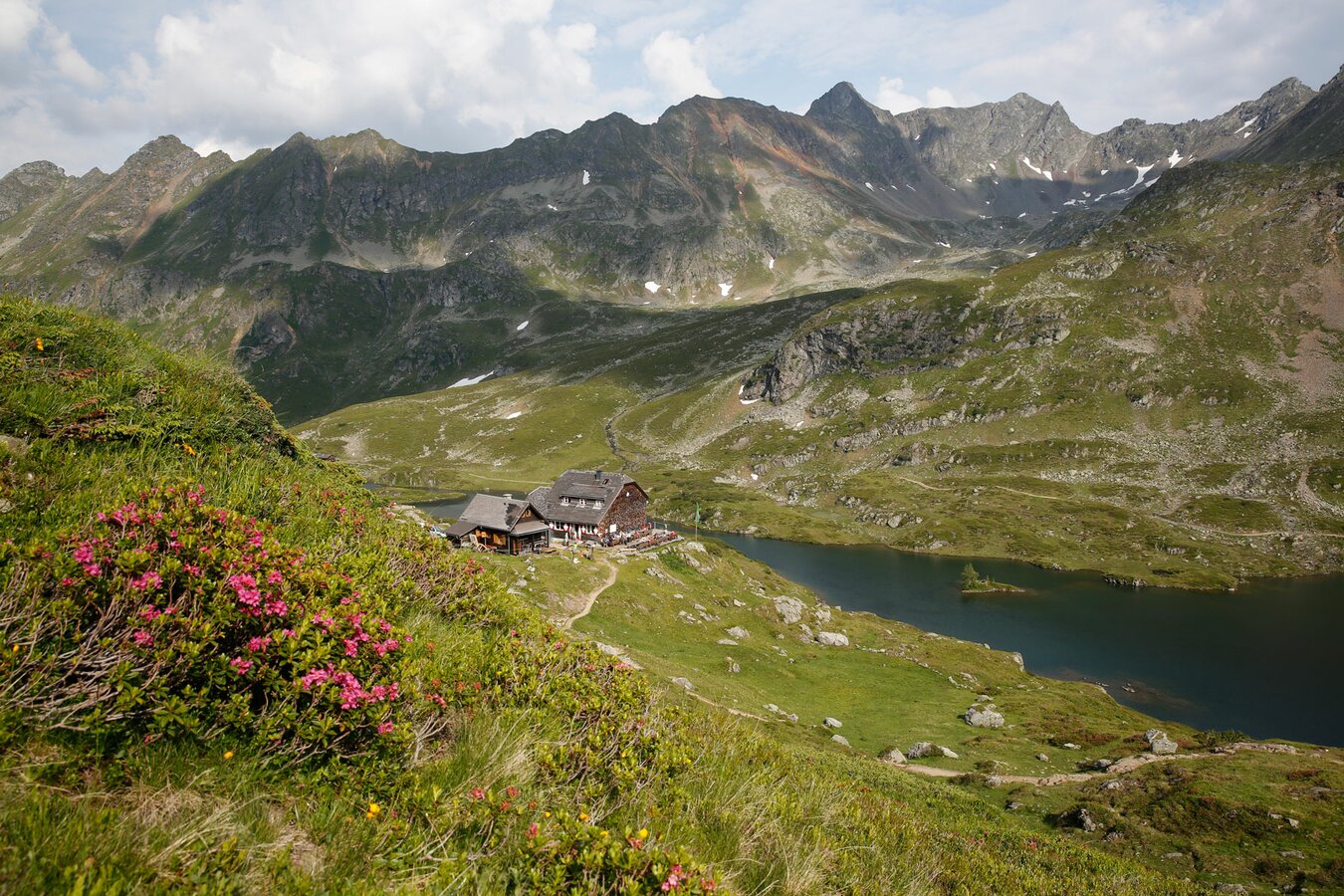
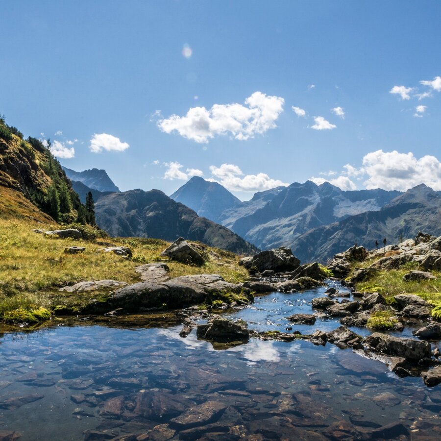
Stage 4 - 6 to 8 hours Gollinghütte - Klafferkessel - Preintalerhütte
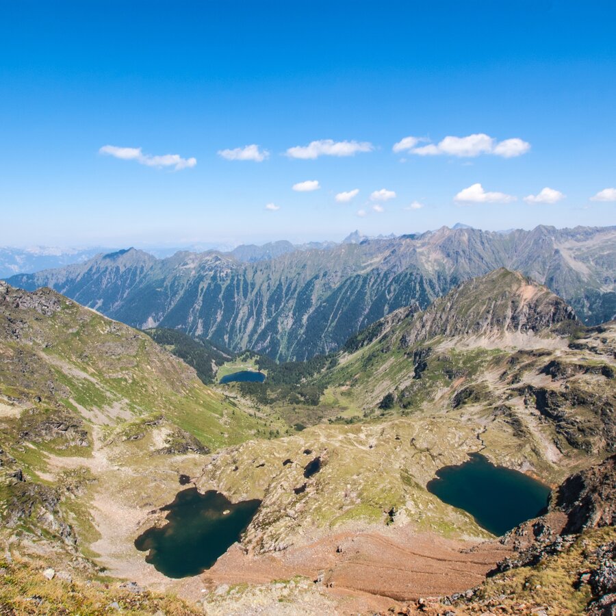
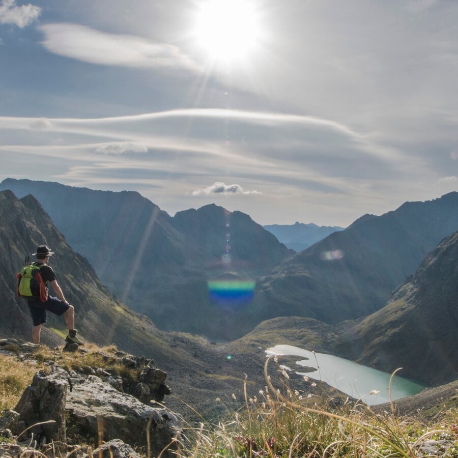
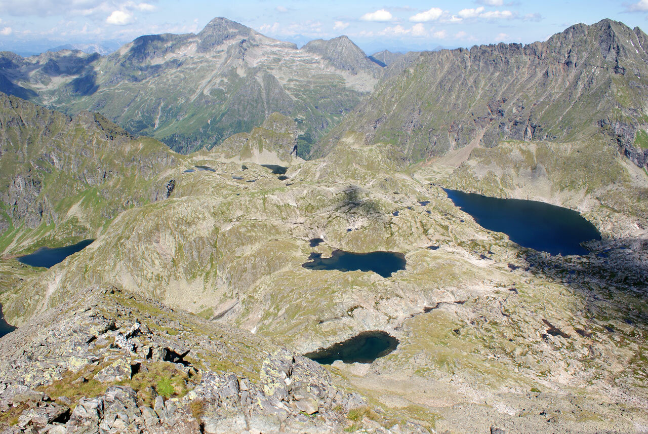
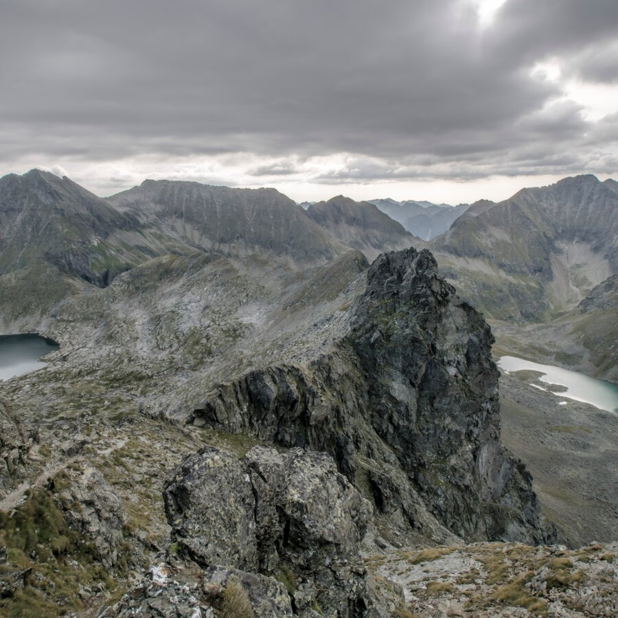
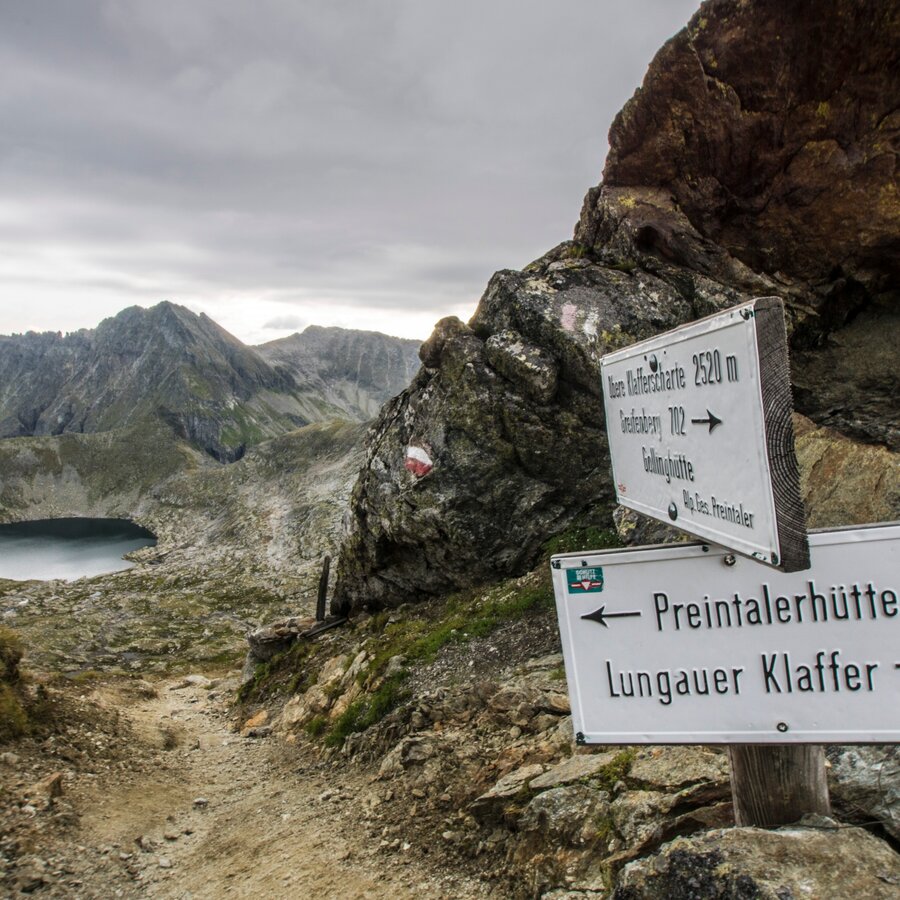
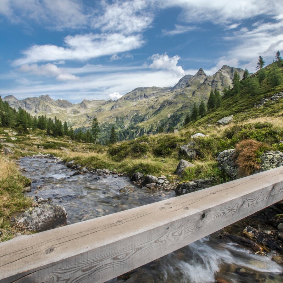
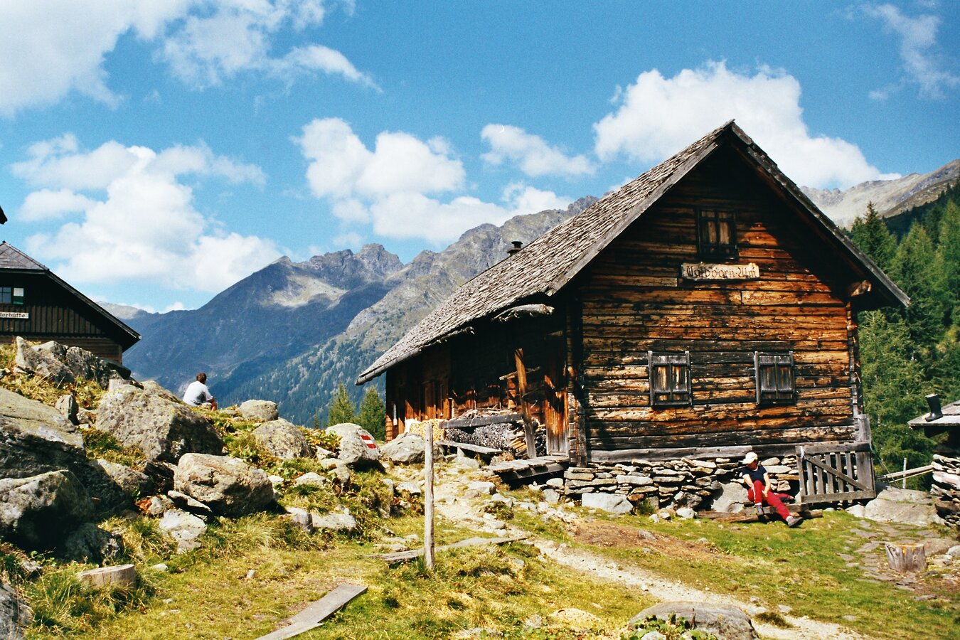
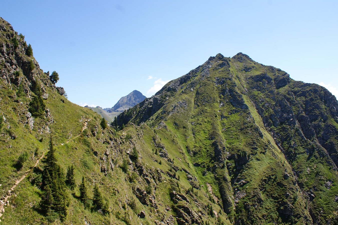
Immediately after the Gollinghütte we cross the Steinriesenbach. In a series of serpentines, path No. 702 takes us up the Greifenberg. At an elevation of around 2,300 meters, the views open up to all sides. Before us lies Greifenbergsee lake and the summit cross of the Greifenberg (2,618 m). The summit affords us the best views of the Klafferkessel. A steep alpine trail now takes us downhill to the upper Klafferscharte. We continue across fields of snow and scree down to the actually heart of this tour, the Klafferkessel. We now pass countless tarns and pools on the way to the lower Klafferscharte. At this point, a trail takes us in a series of broad loops downhill to the outer Lämmerkar. After crossing the Waldhornbach, we will reach the Preintalerhütte and Waldhornalm.
5th stage | 5-6 hours via Höfertsteig and Neualmscharte into the Seewigtal
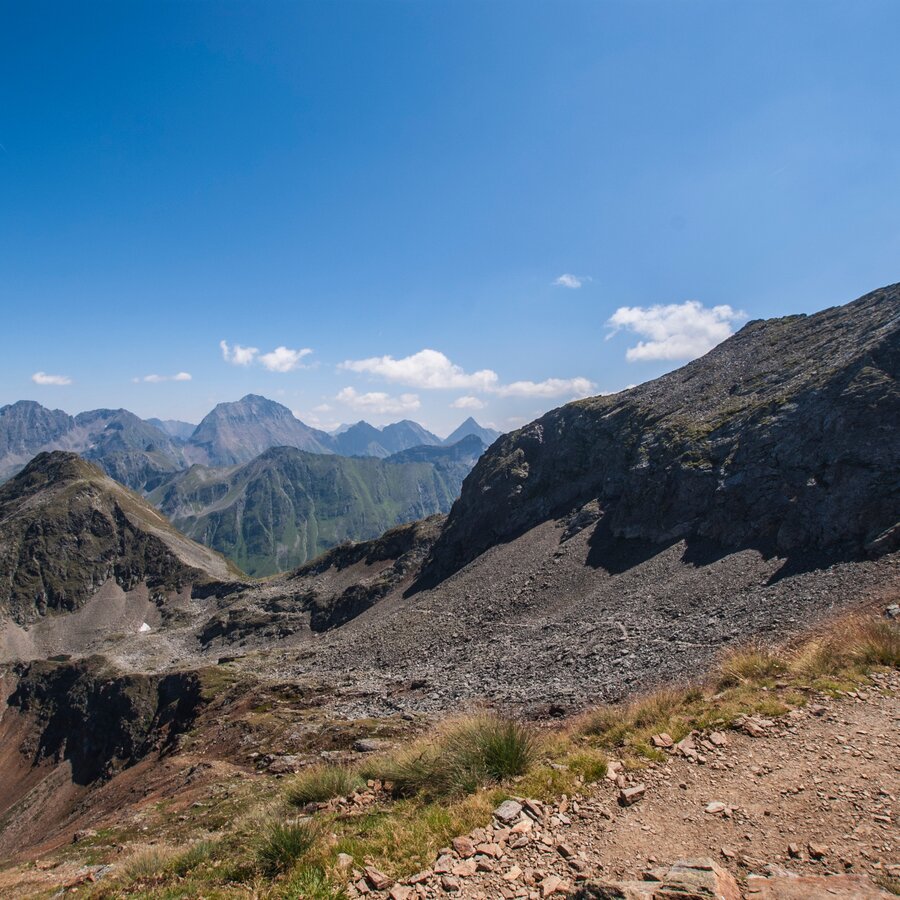
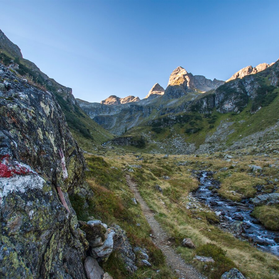
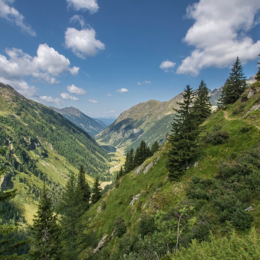
From the Preintalerhütte it goes past the backdrop of the Hochwildstelle (2,747 m) over the »Höfertsteig« in the direction of Neualm. At the Höfertsteig crossroads, before the Neualm, follow path no.782 to the Neualmscharte (2,347 m). During the ascent you can enjoy the view of the Riesachsee, which lies deep below, and the breathtaking view of the Seewigtal from the saddle. After a short rest, you now begin the rather steep descent. First you reach the Obersee, the banks of which are wonderfully suitable for another rest. About 40 minutes later you will reach the Hans-Wödl-Hütte above the Hüttensee, where you have truly earned a long rest. Then it's a good hour downhill to the Steirischer Bodensee and the Seewigtal car park, from where the hiking bus route 976 takes you back to Schladming. When booking the package, the hiking bus is included with the Sommercard.
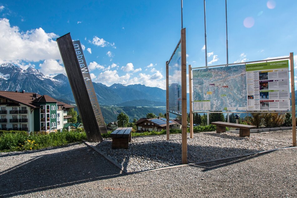
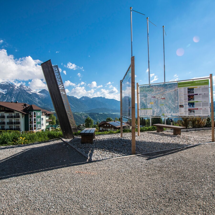
From Schladming into the direction of Rohrmoos, at the roundabout Rohrmoos straight ahead to the Hochwurzen cable car.
We recommand to leave the car in Schladming at the Kraiter car park (100 m above the white church) - take the Planai-Hochwurzen bus from Lendplatz to the Hochwurzen cable car (bus timetable: www.planai.at)
With the Planai buses from Schladming (Planet-Planai, Lendplatz) or Rohrmoos (Rohrmoos-Zentrum) to the valley terminal of Gipfelbahn Hochwurzen. Alternatively take the bus to Ursprungalm chalets in Preuneggtal valley.
- Buses of Planai-Hochwurzen-Bahnen: www.planaibus.at
From Planai you can take the cable-car back to the town of Schladming or hike down to the mountain village via WM-Pfad trail (another 2 hours).
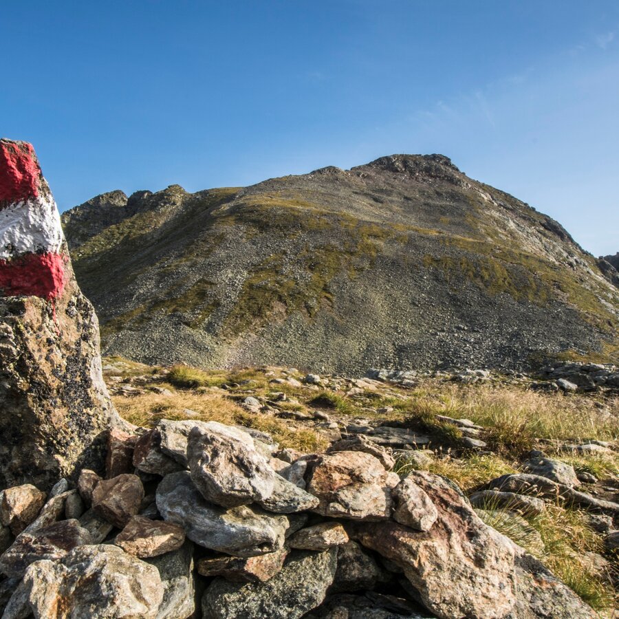
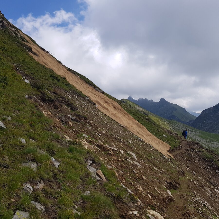
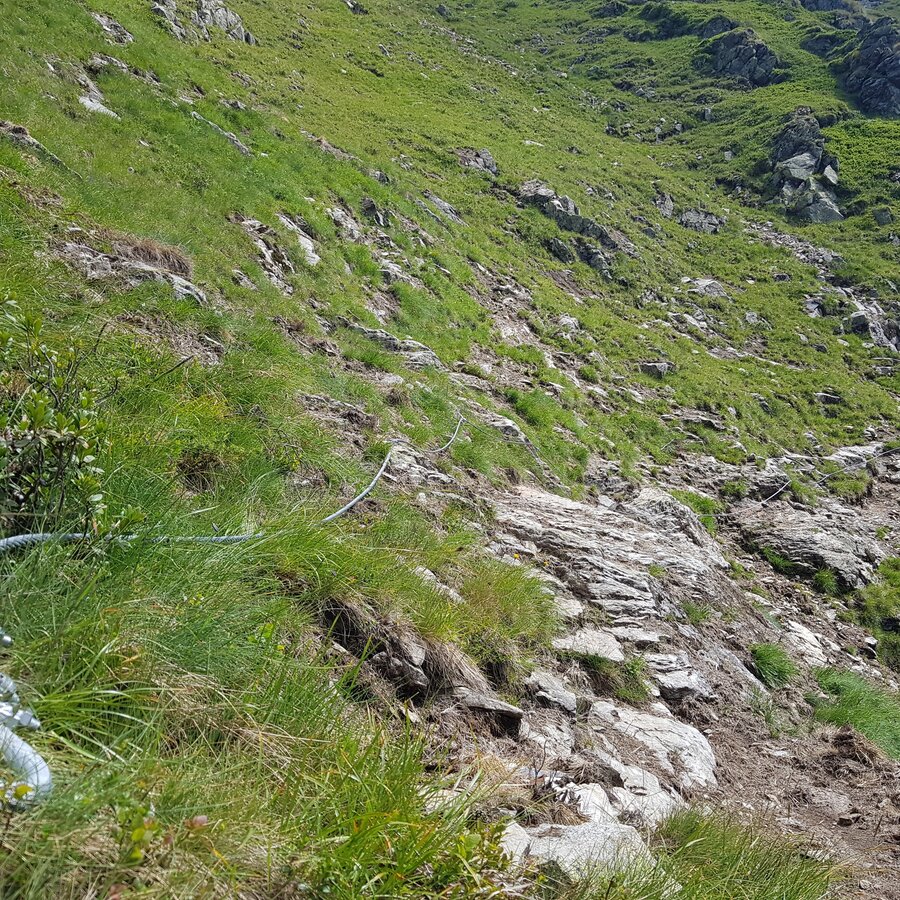
Surefootedness, a head for heights and alpine experience required!
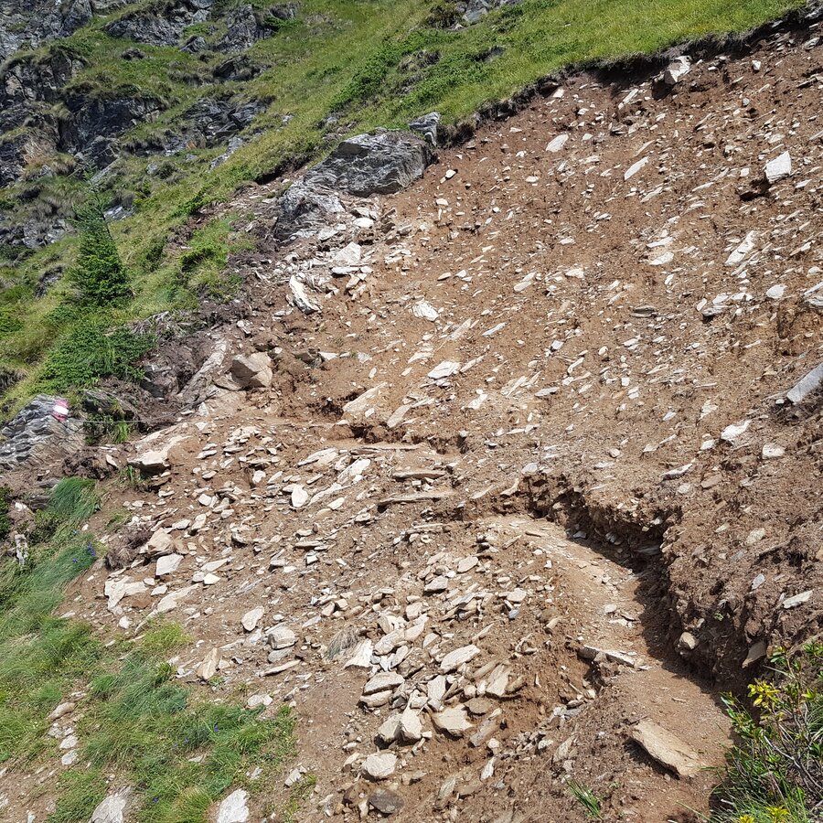
Changes in weather patterns, quick falls in temperature, thunderstorms, wind, fog and snow are some of the dangers that can be encountered on a hiking tour. Hosts of alpine huts and mountain refuges have a lot of experience in the mountains and can give good advice about weather and the trails. Poor equipment, overestimation of one's own capabilities, carelessness, poor personal constitution and/or wrong judgement can lead to critical situations. In case of thunderstorms: avoid summits, ridges and steel ropes.
GPS data and orienteering
Available GPS data - just like hiking maps - is only a guidance for orientation and can never depict a trail exactly with all its details. Especially at dangerous spots it is essential to judge on site how to proceed.
In an emergency please call:
- 140 - for Alpine emergencies (all over Austria)
- 112 - European GSM emergency number
Surefootedness, a head for heights and alpine experience required!
Changes in weather patterns, quick falls in temperature, thunderstorms, wind, fog and snow are some of the dangers that can be encountered on a hiking tour. Hosts of alpine huts and mountain refuges have a lot of experience in the mountains and can give good advice about weather and the trails. Poor equipment, overestimation of one's own capabilities, carelessness, poor personal constitution and/or wrong judgement can lead to critical situations. In case of thunderstorms: avoid summits, ridges and steel ropes.
GPS data and orienteering
Available GPS data - just like hiking maps - is only a guidance for orientation and can never depict a trail exactly with all its details. Especially at dangerous spots it is essential to judge on site how to proceed.
In an emergency please call:
- 140 - for Alpine emergencies (all over Austria)
- 112 - European GSM emergency number
A well-packed backpack is helpful and especially when touring Alpine terrain a tuque, gloves, a windproof jacket and pants are standard equipment. Good, waterproof shoes, sun glasses, sun cream and sufficient beverages are essential too. Torch light, a map of the area, knie and a small first-aid kit should also be in the backpack.
Don't forget your sleeping bag for the overnight stay.
Schladminger Tauern High Trail is a multiple day tour requiring experience in alpine terrain (on all stages). Thus, surefootedness, a head for heights and a good level of stamina are a requirement. On average you have to cover 1,000 m in vertical ascents (up and down) each day, requiring several hours of walking time! This multiple-day tour is suitable for hikers aged 15 years and older.
Although there is no need for equipment like crampons, ropes or via ferrata sets, this multiple day tour takes you along alpine trails (having steel ropes for additional security on short sections) in steep and exposed terrain.
The blog post of Moon & Honey Travel gives a great overview and tips about the tour.
Tourist information: www.schladming.com
Information about bus schedules: www.planaibus.at
Information about cable-car hours: www.planai.at
360° drone images
Get yourself an overview with our 360° drone images:
- Hochwurzen, Rossfeld & Guschen: https://vonoben.schladming-dachstein.at/sommer/index.php?S=305
- Hochfeld and Schiedeck: https://vonoben.schladming-dachstein.at/sommer/index.php?S=306
- View over Giglachkar cirque: https://vonoben.schladming-dachstein.at/sommer/index.php?S=307
- Giglachseen and Kalkspitzen summits: https://vonoben.schladming-dachstein.at/sommer/index.php?S=308
- Lower Giglachsee Lake and Vetternkar cirque: https://vonoben.schladming-dachstein.at/sommer/index.php?S=309
- Via Rotmandlspitze: https://vonoben.schladming-dachstein.at/sommer/index.php?S=310
- View into Neualmkar cirque: https://vonoben.schladming-dachstein.at/sommer/index.php?S=312
- At Trockenbrotscharte ridge: https://vonoben.schladming-dachstein.at/sommer/index.php?S=313
- Landawirseen Lakes: https://vonoben.schladming-dachstein.at/sommer/index.php?S=314
- View over Klafferkessel: https://vonoben.schladming-dachstein.at/sommer/index.php?S=315
- View into Lämmerkare cirques: https://vonoben.schladming-dachstein.at/sommer/index.php?S=316
- Trail to Neualmscharte: https://vonoben.schladming-dachstein.at/sommer/index.php?S=317
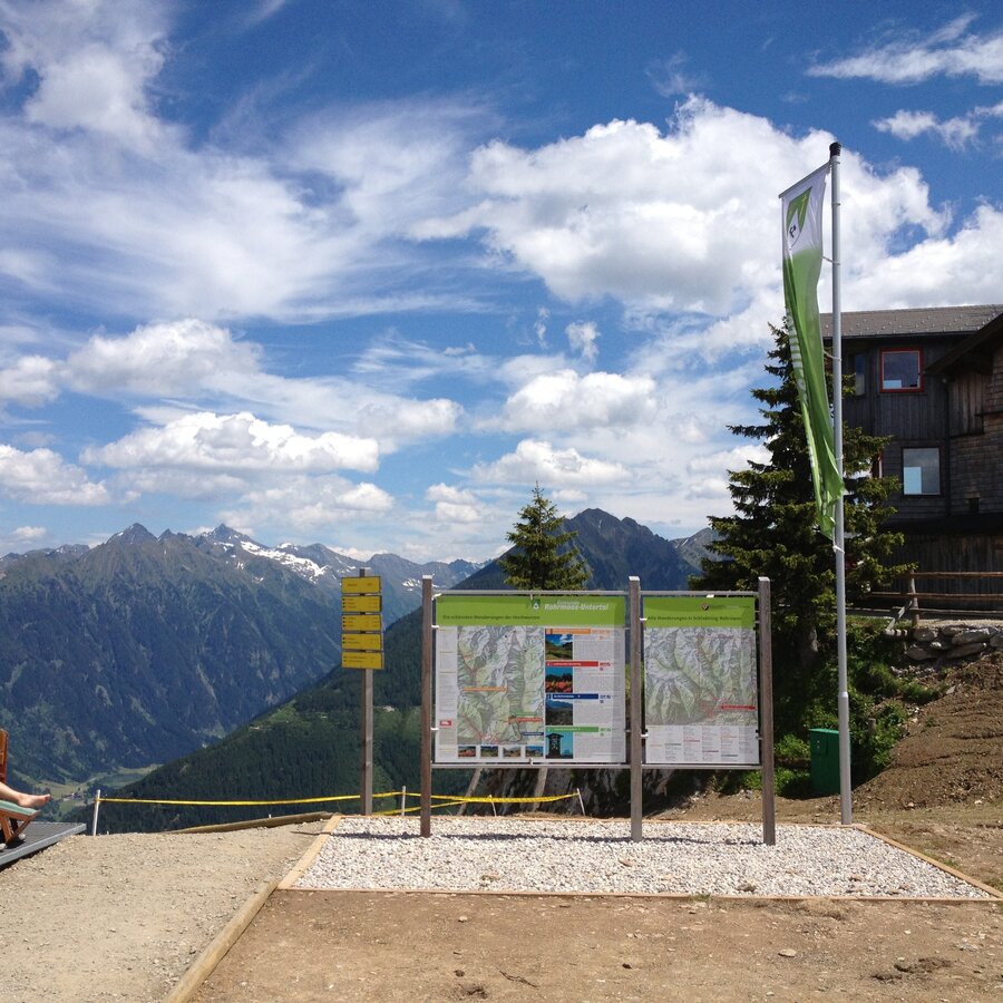
- Hiking map Schladming, 1:25.000, available at the tourist office Schladming.
- Hiking map Schladming-Dachstein, 1:50.000, available at the tourist office Schladming.
- Brochure "Schladminger Tauern High Trail": 5 days full of peaks, lakes & mountain experiences, available from the tourist offices.


