


Grimming-Donnersbachtal
Winter hiking trail Planneralm
Winter sports
Data:
Important Information
Tour description
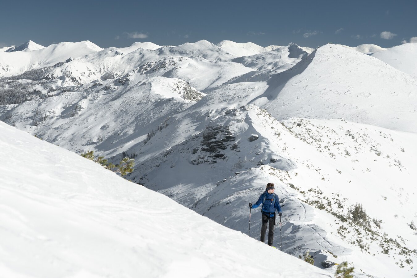
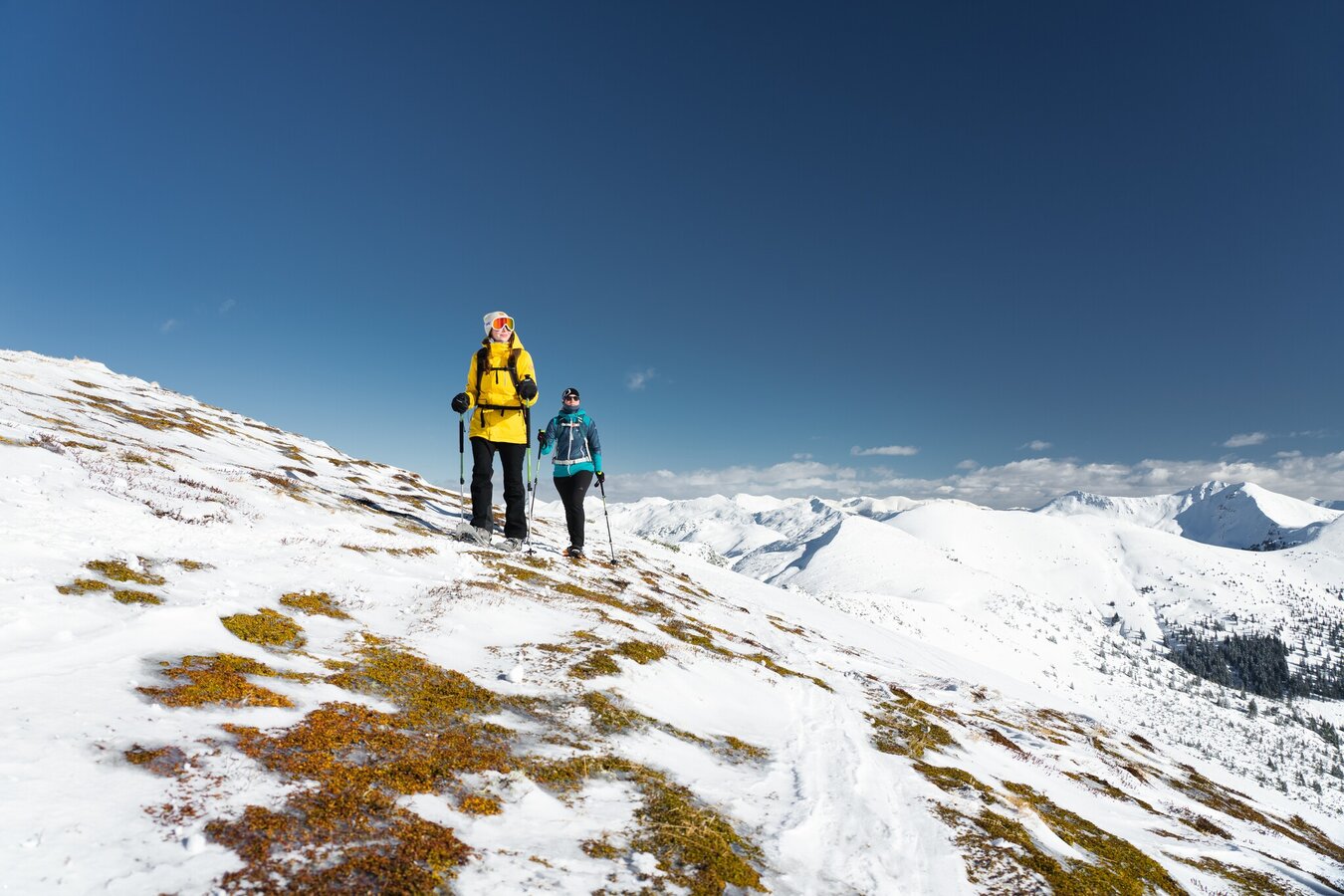
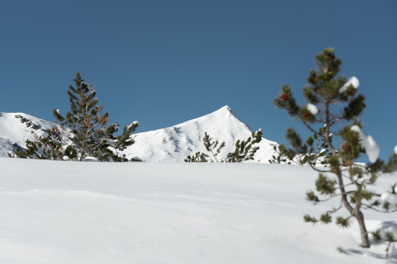
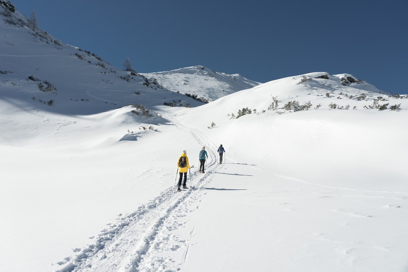
After skiing is before winter hiking. In an idyllic snowy landscape, the Planner winter hiking trail is surrounded by a magnificent mountain panorama. As you leisurely trudge along, you can already visualise the turns you will be making in the snow on your two skis the next day.
The tour
easy
publicly accessible
Starting and end point
Kinderland Planneralm
Tour characteristics
Distance: 3.71 km
Fitness (2/6)
Information
Distance: 3.7 km
Duration:
1:00 h
Ascent: 100 m
Descent: 100 m
highest point: 1700 m
Best season
Jan
Feb
Mar
Apr
May
Jun
Jul
Aug
Sep
Oct
Nov
Dec
Map, elevation profile & further information
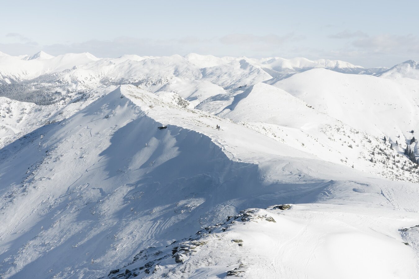
To the right of the Kinderland you start. You hike along the toboggan run and the marked high-altitude trail until you reach a small hut, after which you keep to the right again and climb uphill until you reach the forest. Once you have reached the Plannerkessel, an impressive view of the surrounding mountain panorama opens up to you. Across snow-covered mountain pine fields you now make a flat loop before you make your way back to the mountain village along the same path.
Mountain sports and the assessment of the situation on site are - even more so in winter - primarily your own responsibility. Tourism organisations or avalanche warning services do not accept any liability based on the information provided.
Turn off the Ennstalbundesstraße (B320) at the crossing Trautenfels in direction Irdning, Donnersbach, Donnersbachwald. In Donnersbach after the center of the village turn left towards Planneralm. 12 km long driveway over the toll-free mountain road up to the Planneralm.Parking at the large car park on the Planneralm
Planneralm ski bus:
Until 15.12.2024 only on weekends
From 21.12.2024 until 20.04.2025 daily
Information at: www.myplanneralm.at
Until 15.12.2024 only on weekends
From 21.12.2024 until 20.04.2025 daily
Information at: www.myplanneralm.at
Winter mountain boots or sturdy winter boots, possibly telescopic poles with snow discs
In the Plannerkessel, let the impressive mountain scenery and the tranquility take effect on you. Deep relaxation guaranteed.
Tourist information: www.schladming-dachstein.at
Schladming-Dachstein Tourist Office
Ramsauerstraße 756
8970 Schladming
T: +43 3687 23310
info@schladming-dachstein.at
Schladming-Dachstein OST winter adventure map, available from the information offices in the region.


