

Grimming-Donnersbachtal
Winter hiking to Mörsbachalm
Winter walking
Data:
copyright: Armin Walcher
copyright: Armin Walcher
copyright: Armin Walcher
Important Information
Tour description
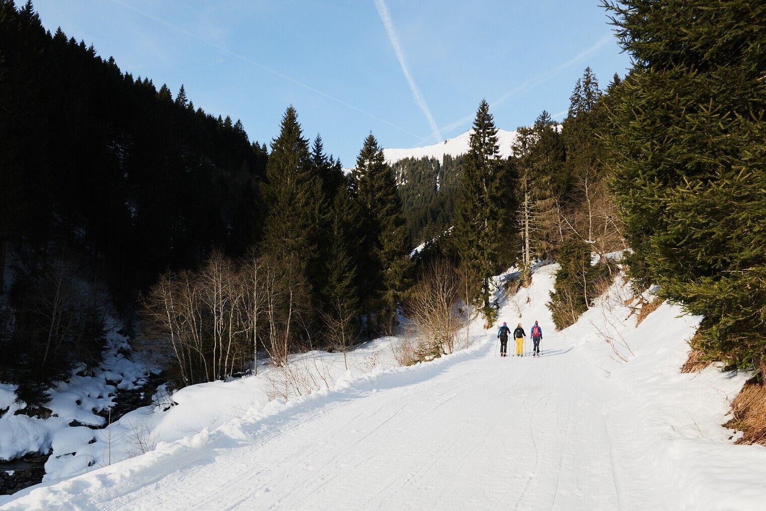
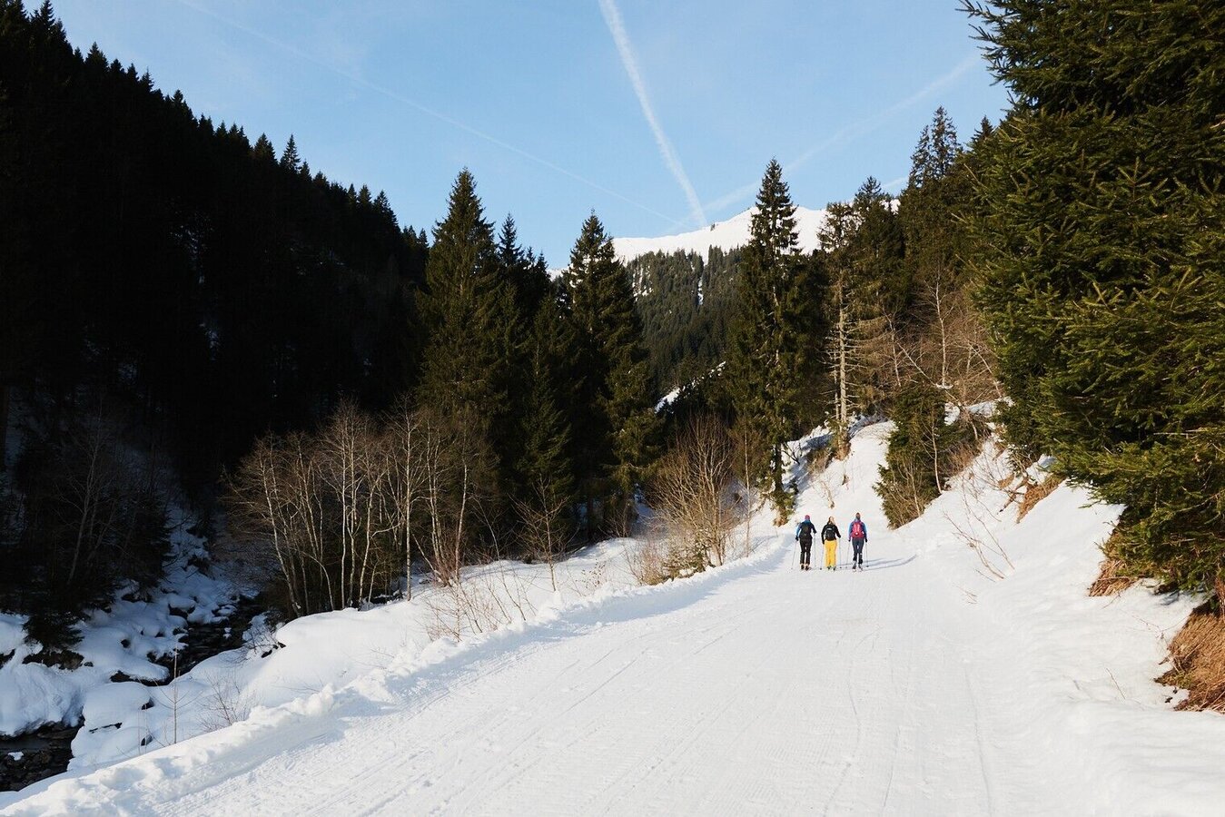
On the gently ascending and well-prepared path up to the Mörsbachwirt, the anticipation of a hearty snack rises in the fresh winter air. You will reach the top in around 1 hour on the perfectly prepared path. A little adventure at the end of the hike? After a cosy stop for refreshments, you can take the rental toboggan back down into the valley!
The tour
easy
Starting point
Center of the village
Destination
At the starting point
Tour characteristics
Distance: 6.06 km
Fitness (2/6)
Information
Distance: 6.1 km
Duration:
2:00 h
Ascent: 330 m
Descent: 330 m
highest point: 1289 m
Best season
Jan
Feb
Mar
Apr
May
Jun
Jul
Aug
Sep
Oct
Nov
Dec
Map, elevation profile & further information
From the parking lot, the path leads you past the Hotel Stegerhof and the Pension Purkhardt straight on, slightly uphill. After a few minutes you cross a bridge and then keep left. Follow the signs "Mörsbachalm" and walk along the prepared path steadily uphill to the Mörsbachwirt. You take the same way back. Are you already too tired or do you feel like another winter adventure? Then rent a toboggan at the Mörsbachwirt.
- Plan your tour in advance, taking into account the walking time, route length, altitude difference, danger spots and weather forecast.
- Let others know where you are going and when you want to be back.
- Turn back in good time if the weather deteriorates.
- Stay on the marked paths.
From the Ennstalbundesstraße (B320) turn off at the Trautenfels junction in the direction of Irdning, Donnersbach, Donnersbachwald. Through the village of Donnersbach and another 12 km to Donnersbachwald to the village center.
Free parking at the large parking lot in the center of the village
Free parking at the large parking lot in the center of the village
Take the 941 bus to the "Donnersbachwald Ort" bus stop. There is also the starting point of the hike.
Bus schedule: www.verbundlinie.at
The nearest train station "Stainach-Irdning" is about 22 kilometers away in Stainach.
Train timetable: www.oebb.at
- Winter mountain boots or sturdy shoes with a good profile
- Clothing according to the weather forecast
Attention. Other winter sports enthusiasts are also on this trail. Please be considerate of each other!
Tourist information: www.schladming-dachstein.at
Schladming-Dachstein Tourist Office
Ramsauerstraße 756
8970 Schladming
T: +43 3687 23310
info@schladming-dachstein.at