


Grimming-Donnersbachtal
Winter hiking on the Raumbergweg
Winter walking
Data:
Tour description
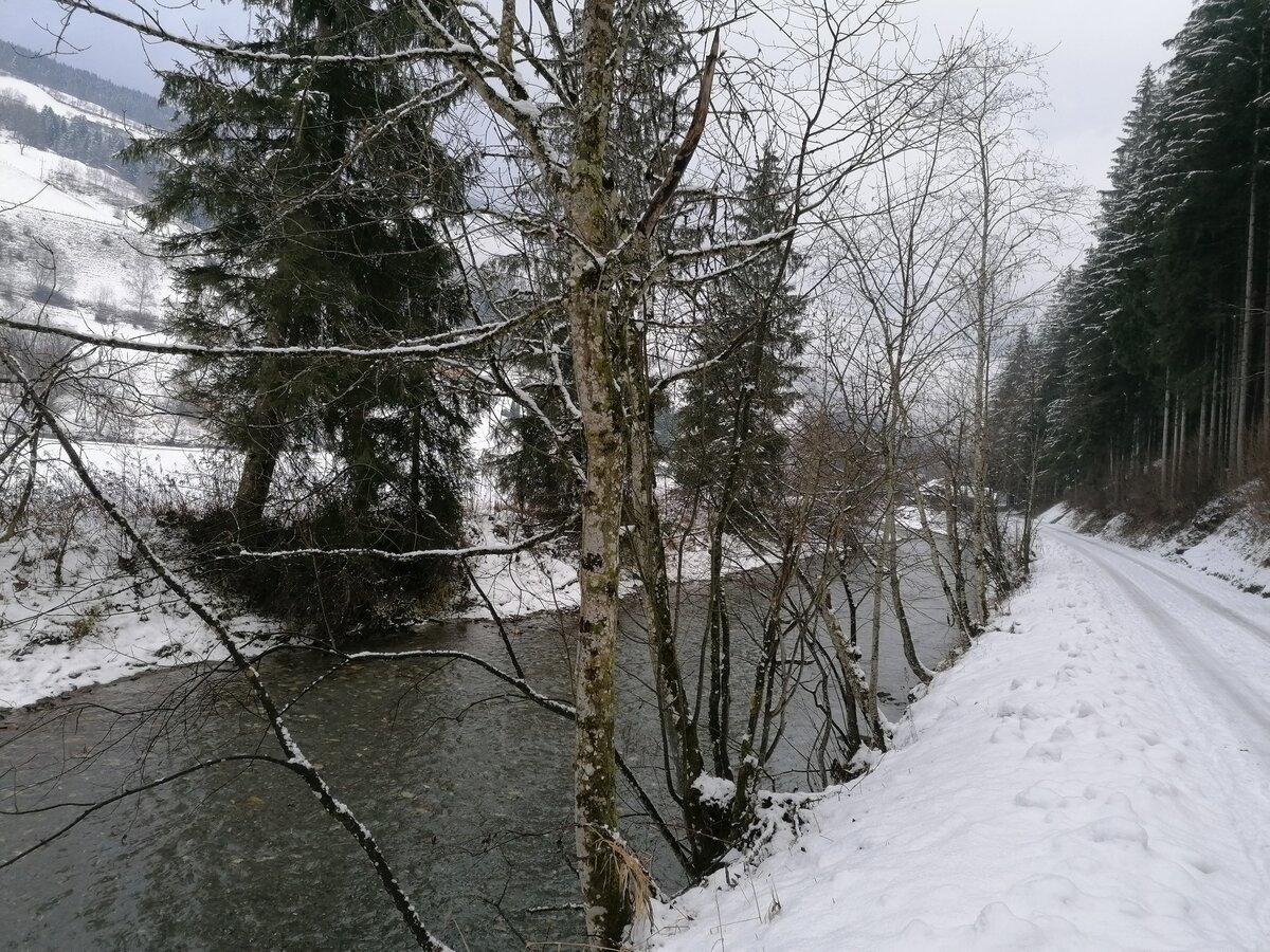
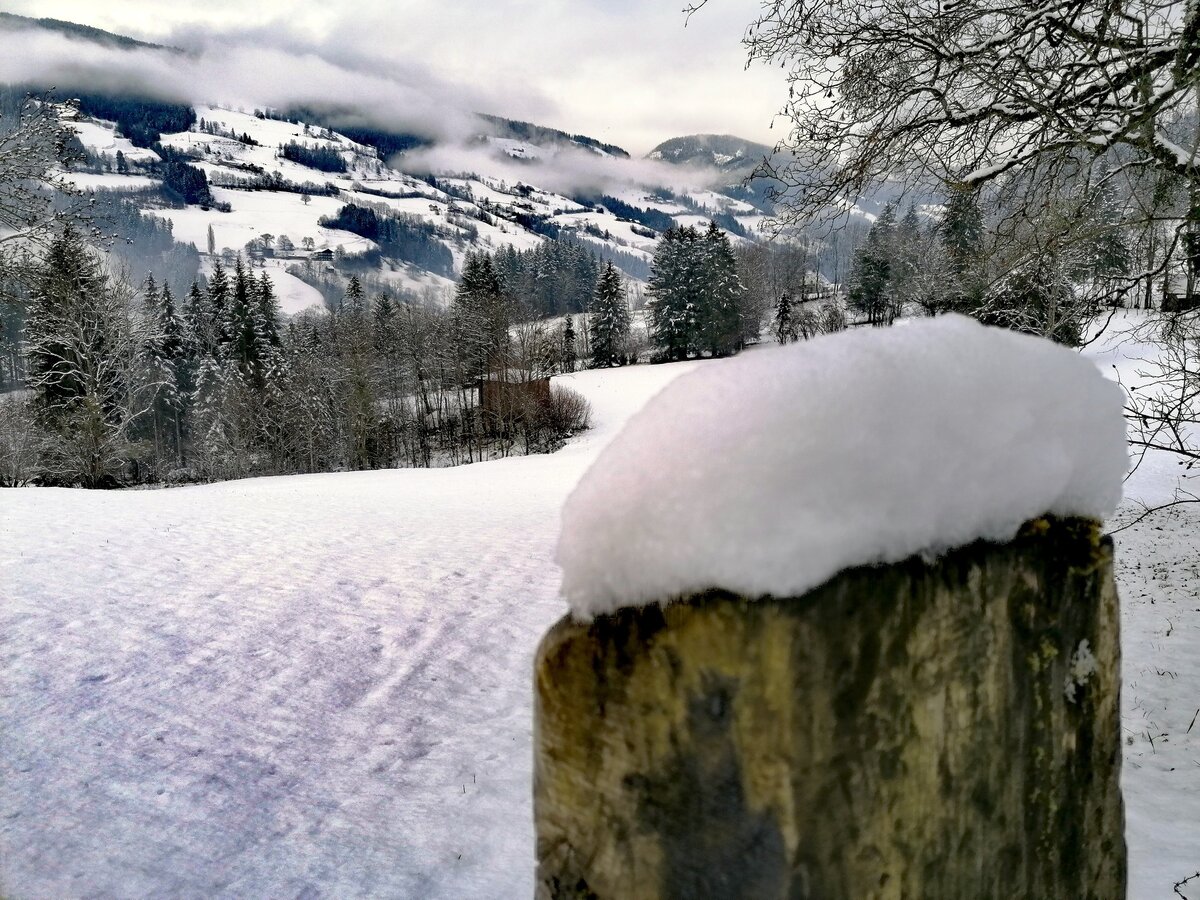
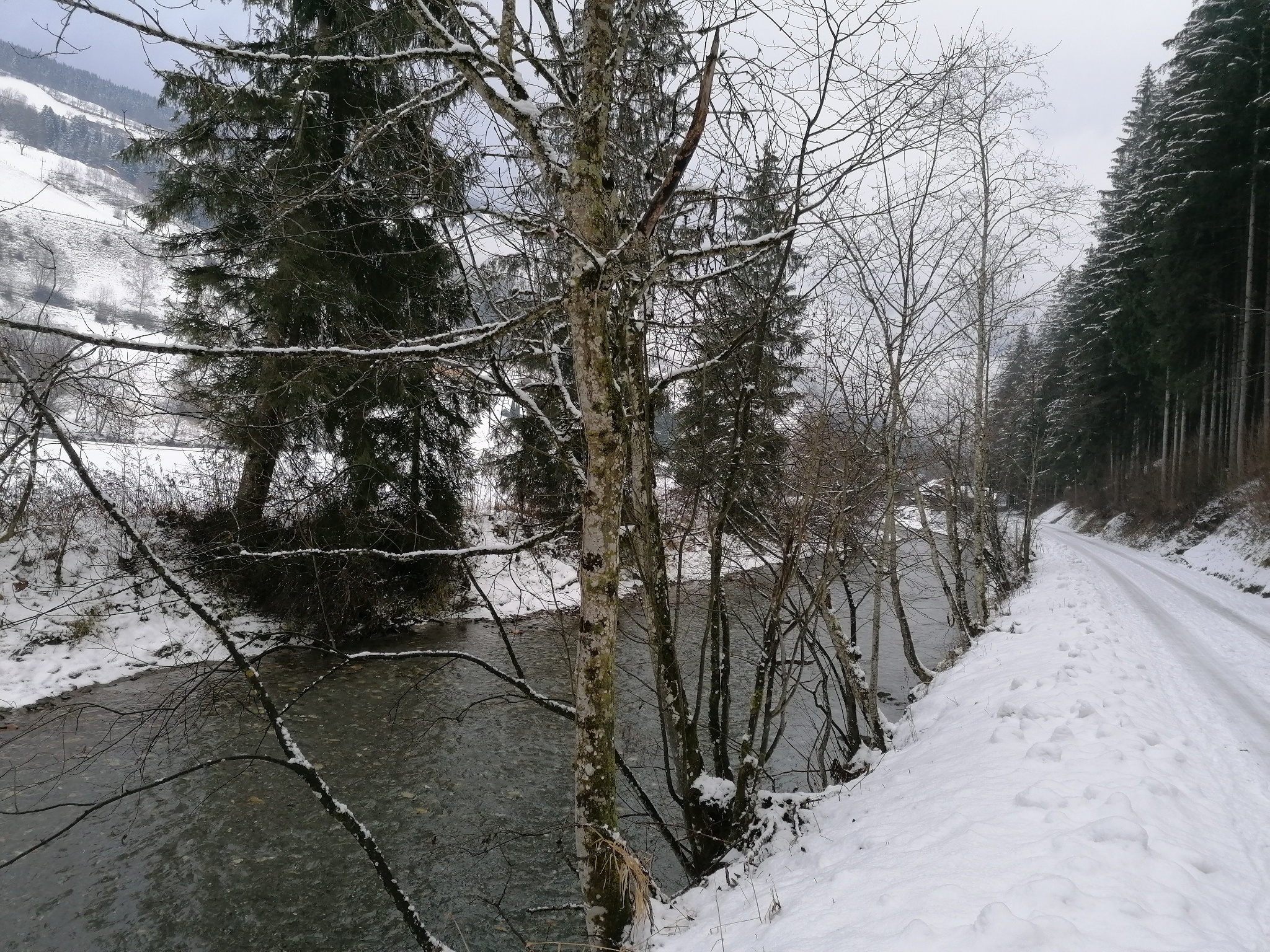
Comfortably you march along the path - a bit uphill, flat and with a few small climbs. From one village to the next you will be surprised by lovely panoramic views. A wonderful family hike.
The tour
easy
Starting point
Parking lot by the tennis court
Destination
At the starting point
Tour characteristics
Distance: 7.24 km
Information
Distance: 7.2 km
Duration:
2:00 h
Ascent: 90 m
Descent: 90 m
highest point: 745 m
Best season
Jan
Feb
Mar
Apr
May
Jun
Jul
Aug
Sep
Oct
Nov
Dec
Map, elevation profile & further information
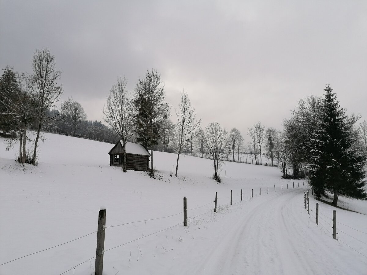
At the tennis court, cross the road and walk along the sidewalk for about 200 m back towards the beginning of the village. Here you change again to the other side of the road and cross the bridge. After the bridge turn right and walk along the marked hiking trail no. 4 or 5 over some small inclines but also flat sections to Raumberg. The way back follows the same route.
From the Ennstalbundesstraße (B320) turn off at the Trautenfels junction in the direction of Irdning, Donnersbach, Donnersbachwald and drive approx. 10 km to Donnersbach. The tennis court is located a short distance after entering the village on the right side.Free parking at the tennis court.
Take the 941 bus to the "Donnersbach Rüschersiedlung" stop. Here is also the starting point of the hike.
Bus schedule: www.verbundlinie.at
Bus schedule: www.verbundlinie.at
The nearest train station "Stainach-Irdning" is about 11 kilometers away in Stainach.
Train timetable: www.oebb.at
In winter, caution is advised even on seemingly easy hikes. In shady areas, the ground can be slightly icy, and there may be avalanche danger below slopes. Mountaineering is therefore primarily a matter of personal responsibility – even more so in winter. Tourist associations and avalanche warning services assume no liability whatsoever based on the information provided.
Your equipment should ideally include:
Your equipment should ideally include:
- Ankle-high, warm shoes. Waterproof, warm shoes with a treaded sole are ideal. Optional: Gaiters for additional snow protection.
- A hood and warm clothing, ideally layered. Don't forget a change of clothes for longer winter hikes: a wind and waterproof jacket and trousers.
- A small backpack with a warm drink in a thermos and snacks as needed
- Sun protection
- Cell phone
- First aid kit
- Optional: crampons/snow spikes (snow chains for shoes), telescopic hiking poles for better grip and balance.
A little off the beaten path is a game feeding station. During the Christmas vacations you can watch live. Info and registration with family Huber-Kitzer under T +43 664/3993488.
Tourist information: www.schladming-dachstein.at
Schladming-Dachstein Tourist Office
Ramsauerstraße 756
8970 Schladming
T: +43 3687 23310
info@schladming-dachstein.at
Schladming-Dachstein OST winter adventure map, available from the information offices in the region.


