


Grimming-Donnersbachtal
Winter hike Gatschberg
Winter walking
Data:
Tour description
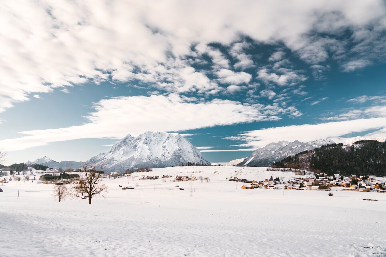
Somewhat hidden from the hustle and bustle of everyday life, you stroll along leisurely in the beginning before the tour increases in altitude and leads you up the Gatschberg. Enjoy the silence of the forest on this section of the route and feel especially connected to nature here.
The tour
easy
publicly accessible
Starting point
Parking tennis court
Destination
At the starting point
Tour characteristics
Distance: 9 km
Information
Distance: 9 km
Duration:
2:30 h
Ascent: 250 m
Descent: 250 m
highest point: 909 m
Best season
Jan
Feb
Mar
Apr
May
Jun
Jul
Aug
Sep
Oct
Nov
Dec
Map, elevation profile & further information
This winter hike leads you along the marked hiking trail no. 2 up to the Gatschberg. From Aigen you initially walk along the municipal road to Lantschern and Quilk. After Posserbauer, the trail continues on a forest road and later takes the hiking trail through the forest downhill to the Steiner farm. From there it goes via Gatschen back to Aigen to the starting point.
In Wörschach or Trautenfels leave the Ennstalbundesstraße (B320) and continue to the center of Aigen.In Wörschach or Trautenfels leave the Ennstalbundesstraße (B320) and continue to the center of Aigen.
A free parking lot is located directly by the tennis court.
A free parking lot is located directly by the tennis court.
Take the 940/941 bus to the "Aigen Ort" or "Putterersee" bus stop. Nearby is also the starting point of the hike.Bus schedule: www.verbundlinie.at
The nearest train station Stainach-Irdning is located in Stainach 6 kilometers from Aigen.Train timetable: www.oebb.at
- Stay on the marked paths.
- If you are a dog owner: keep your dog on a lead and make sure that it behaves calmly.
- Winter mountain boots or sturdy shoes with a good tread
- Clothing appropriate to the weather forecast.
- A rucksack with snacks so that you can enjoy nature during a break.
If the wintry road allows it and you feel like a detour: It's only 10 minutes to the transmitter.
Tourism information: www.schladming-dachstein.at
Tourist Office Schladming-Dachstein
Ramsauerstrasse 756
8970 Schladming
T: +43 3687 23310
Garbage on meadows and paths can not smell mountain and valley. Please take it with you. Agriculture and forestry are important partners for Berg und Tal. They allow you to walk and drive on many of their paths. Be aware that only good cooperation will guarantee your recreational enjoyment in the future.
- SCHLADMING-DACHSTEIN Hike Map East (1:31.000).
- SCHLADMING-DACHSTEIN Hike Map (1:50.000)
- KOMPASS Map 68, Ausseerland-Ennstal 1:50.000, Hiking, Biking, Ski tours


