


Grimming-Donnersbachtal
Winter hike Kulmgipfel
Winter walking
Data:
Tour description
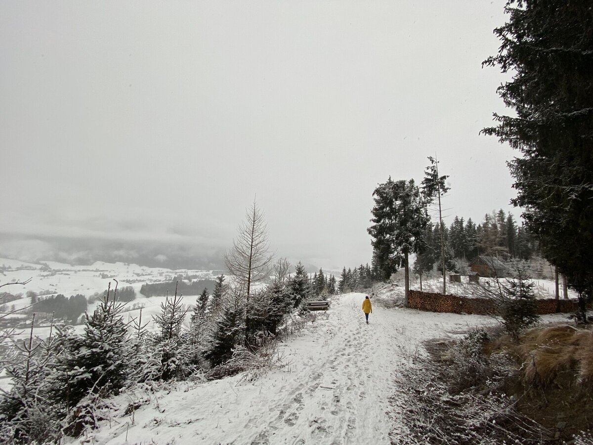
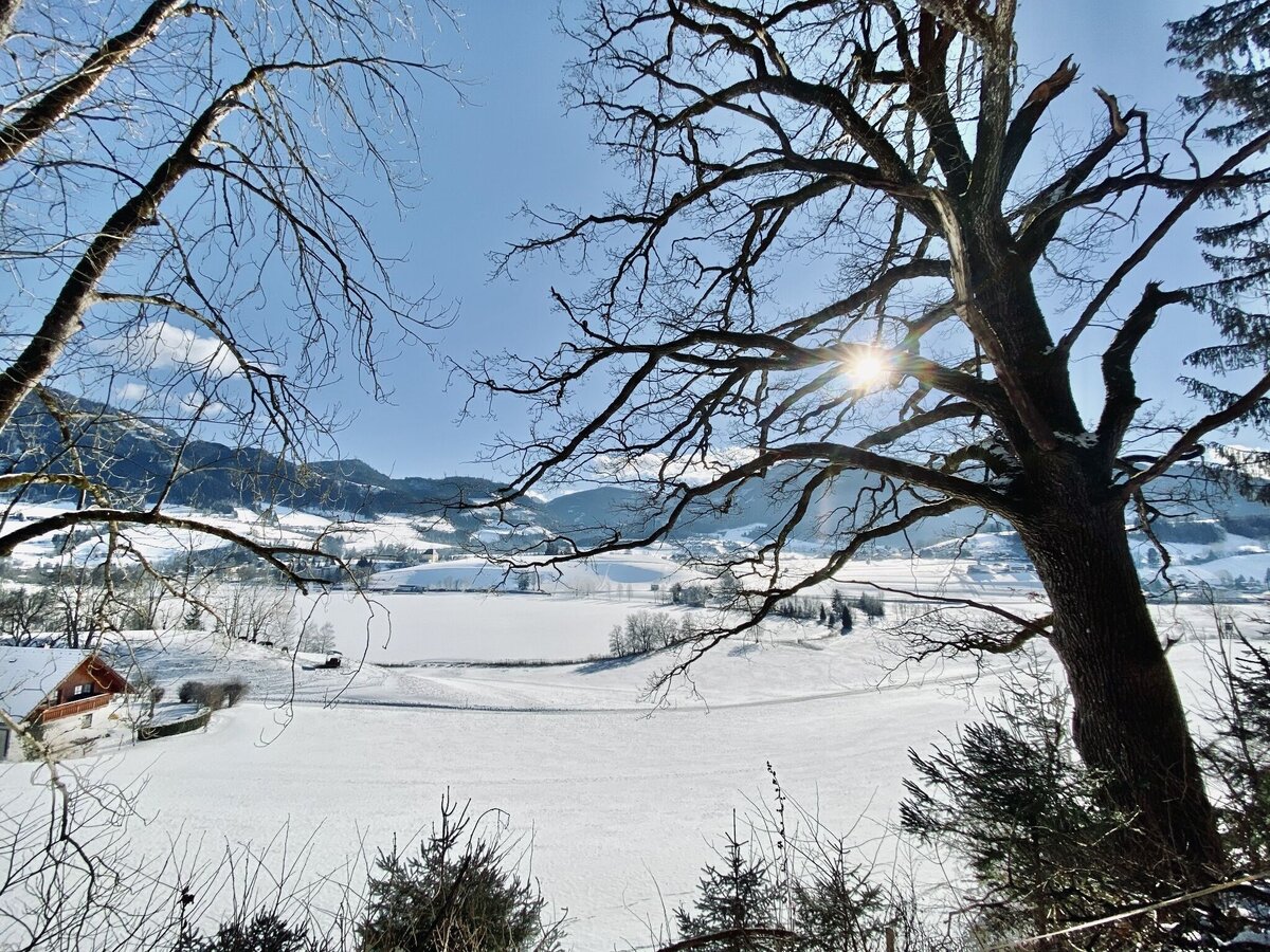
Ski flying, as at the Kulm in Bad Mitterndorf (just around the corner) you can not here, but this Kulm offers you a great winter hike. That's something too, isn't it? At the beginning, the marked winter hike leads comfortably along the Putterersee, then steadily up to the summit, where even a small summit cross awaits you. On the way back along the "Höhenweg" the lake is always winking at you. Enchanting.
The tour
easy
publicly accessible
Starting and end point
Parking near the tennis court
Tour characteristics
Distance: 7.61 km
Fitness (2/6)
Skills (2/6)
Information
Distance: 7.6 km
Duration:
2:30 h
Ascent: 260 m
Descent: 260 m
highest point: 918 m
Best season
Jan
Feb
Mar
Apr
May
Jun
Jul
Aug
Sep
Oct
Nov
Dec
Map, elevation profile & further information
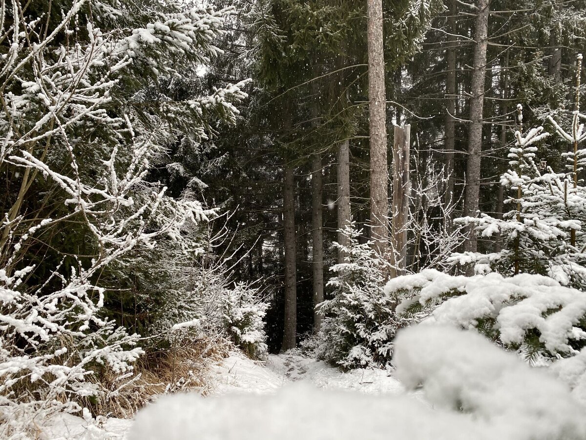
The Kulm is a summit tour for young and old. You start on trail no. 2 at the Putterersee lake and quickly reach the forest, where forest and woodland paths lead you uphill to the Kulm summit.
In Wörschach or Trautenfels turn off the Ennstalbundesstraße (B320) and continue to the center of Aigen.A free parking lot is located directly by the tennis court.
Take the 940/941 bus to the "Putterersee" stop. Nearby is also the starting point of the hike.Bus schedule: www.verbundlinie.at
The nearest train station Stainach-Irdning is located in Stainach 6 kilometers from Aigen.Train timetable: www.oebb.at
In winter, caution is advised even on seemingly easy hikes. In shady areas, the ground can be slightly icy, and there may be avalanche danger below slopes. Mountaineering is therefore primarily a matter of personal responsibility – even more so in winter. Tourist associations and avalanche warning services assume no liability whatsoever based on the information provided.
Your equipment should ideally include:
Your equipment should ideally include:
- Ankle-high, warm shoes. Waterproof, warm shoes with a treaded sole are ideal. Optional: Gaiters for additional snow protection.
- A hood and warm clothing, ideally layered. Don't forget a change of clothes for longer winter hikes: a wind and waterproof jacket and trousers.
- A small backpack with a warm drink in a thermos and snacks as needed
- Sun protection
- Cell phone
- First aid kit
- Optional: crampons/snow spikes (snow chains for shoes), telescopic hiking poles for better grip and balance.
At the starting point there is a Grimming info portal with some info and tips around Aigen.SCHLADMING-DACHSTEIN Winter Adventure Map East


