contact
contact
ForYou Club
15 °C
Webcam
9 / 13 Open facilites
Current info
Ramsau am Dachstein

Via Ferrata Eselstein West Wall

Tour description

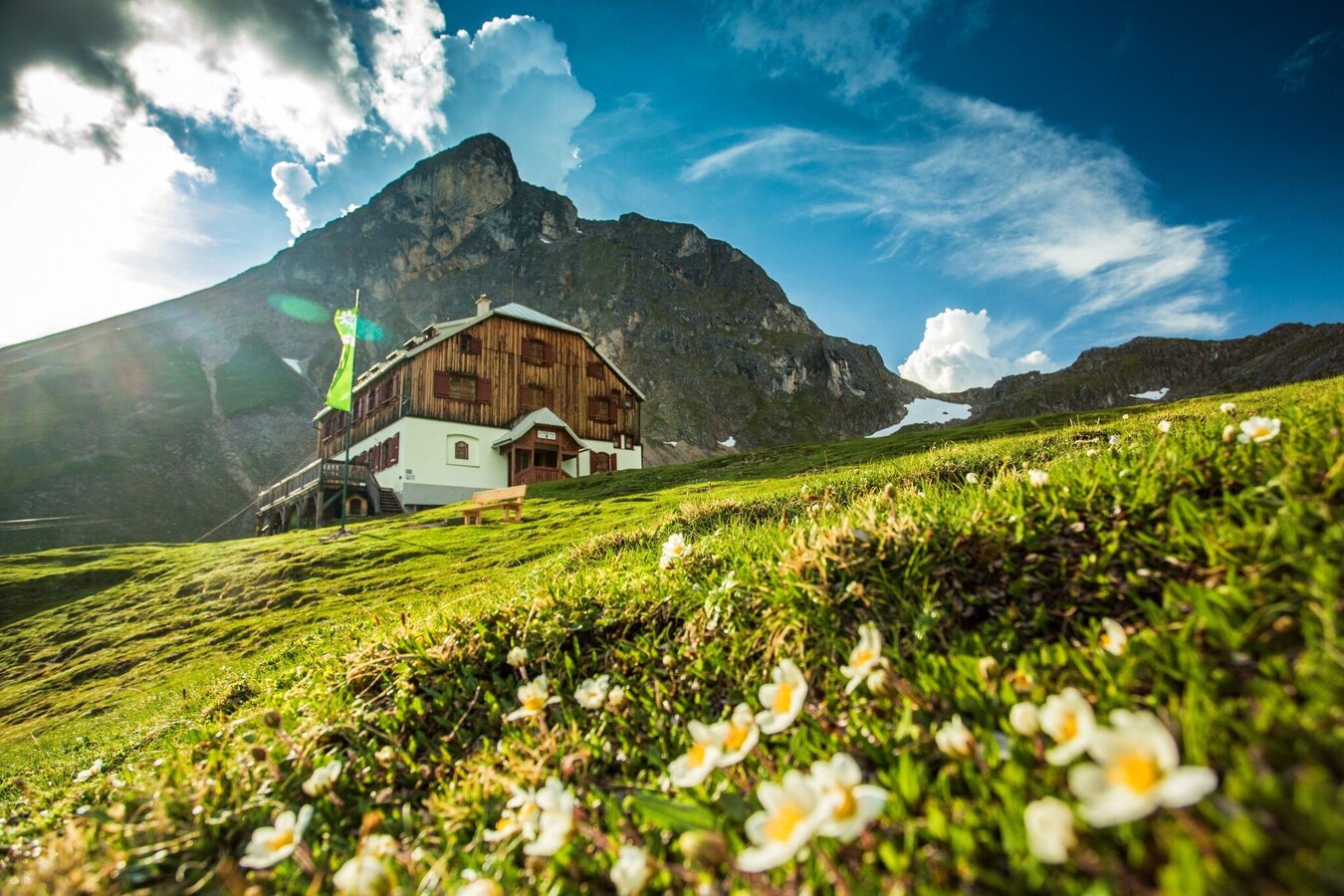
The second via ferrata on the west side of the Eselstein leads over a ramp through the west wall to the north ridge, from the exit you can reach the summit of the Eselstein in 5 minutes. This easy climb can also be used as a good descent from the Eselstein. It forms a great round with the ascent Eselstein Westgrat, or the Jubiläumssteig.

Times:

  • Via Ferrata - 0:30 h
  • Time to Base - 3:15 h
  • Time from Top - 3:00 h
  • Total - 6:45 h

The tour

B
Tour characteristics
Exposition:
Via ferrata length: 250 m Climbing time: 30 min
Information
Elevation at the starting point: 1130 m
Hiking time to the starting point: 3 h 15 min
Elevation at the entrance: 2440 m
Elevation gain on the via ferrata: 110 m
Elevation at the exit: 2550 m
Walking time (descent): 3 h
highest point: 2556 m
Best season
Jan
Feb
Mar
Apr
May
Jun
Jul
Aug
Sep
Oct
Nov
Dec

Map, elevation profile & further information

From the Guttenberghaus, head towards Gruberscharte and then turn right (northeast) along the ridge to the start of the via ferrata. From the Feisterer parking lot, a well-marked hiking trail, steep in the middle section, leads to the Guttenberghaus (1,000 meters elevation gain) in about 2.5 hours.
You can descend back via the Eselstein Westwand via ferrata to Gruberscharte and from there to the Guttenberghaus. Alternatively, take the marked trail via Feistererscharte to the Guttenberghaus. From there, follow the hiking trail back to the valley.

Arriving from the west:

From the west you can take the Munich-Salzburg motorway, continuing on the Tauern motorway (A 10) until the Ennstal junction. From here take the Ennstal A-road (the B 320) for around 30 km into the Schladming-Dachstein region, then take the Ramsau am Dachstein turn-off. Continue to the Ramsau plateau and about 1 km after Ramsau Kulm turn right to Rössing street (Rössingstraße) and continue junction (Abzweigung) Feistererhof.

Arriving from the north and east:

From the south-east take the Pyhrnautobahn motorway (A 9) to the Liezen junction and then the Ennstal A-road (B 320) into the Schladming-Dachstein region. Then take the Ramsau am Dachstein turn-off. Continue to the Ramsau plateau and about 1 km after Ramsau Kulm turn right to Rössing street (Rössingstraße) and continue junction (Abzweigung) Feistererhof.

Hikers parking lot Feistererhof

The starting point can be reached by bus line 962 of the Ramsau public transport company - stop "Berghof/Abzweigung Feisterer" - about a 10-minute walk to the Feisterer hiking trailhead.
From the Stierer stop on bus line 960 of the Ramsau public transport company, the Feisterer hiking portal can be reached in about 20 minutes.

Schedule of the Ramsauer Verkehrsbetriebe

Bus schedules

Wheather predicition

today
01.06.2026
Mountain 1 °C
Valley 16 °C
Precipitation
Probability
80 %
Amount
4.6 l/m²
Wind speed
Nordwest
40 km / h
Sun
Sun hours
5.7 h
Sunrise
05:13 o clock
Sunset
20:54 o clock

A mixture of sunny periods and scattered snow showers.

tomorrow
02.06.2026
Mountain 4 °C
Valley 22 °C
Precipitation
Probability
85 %
Amount
23.7 l/m²
Wind speed
West
20 km / h
Sun
Sun hours
5.7 h
Sunrise
05:12 o clock
Sunset
20:55 o clock

Quite sunny with scattered clouds during the day, but a chance of thunderstorms towards evening.

day after tomorrow
03.06.2026
Mountain -1 °C
Valley 11 °C
Precipitation
Probability
85 %
Amount
6 l/m²
Wind speed
Nordwest
40 km / h
Sun
Sun hours
1.7 h
Sunrise
05:12 o clock
Sunset
20:56 o clock

Prolonged snowfall for most of the day. A slight chance of sunny spells towards evening.

Tours nearby