


Stage 02 Hemma Pilgerweg Route Admont

Tour description
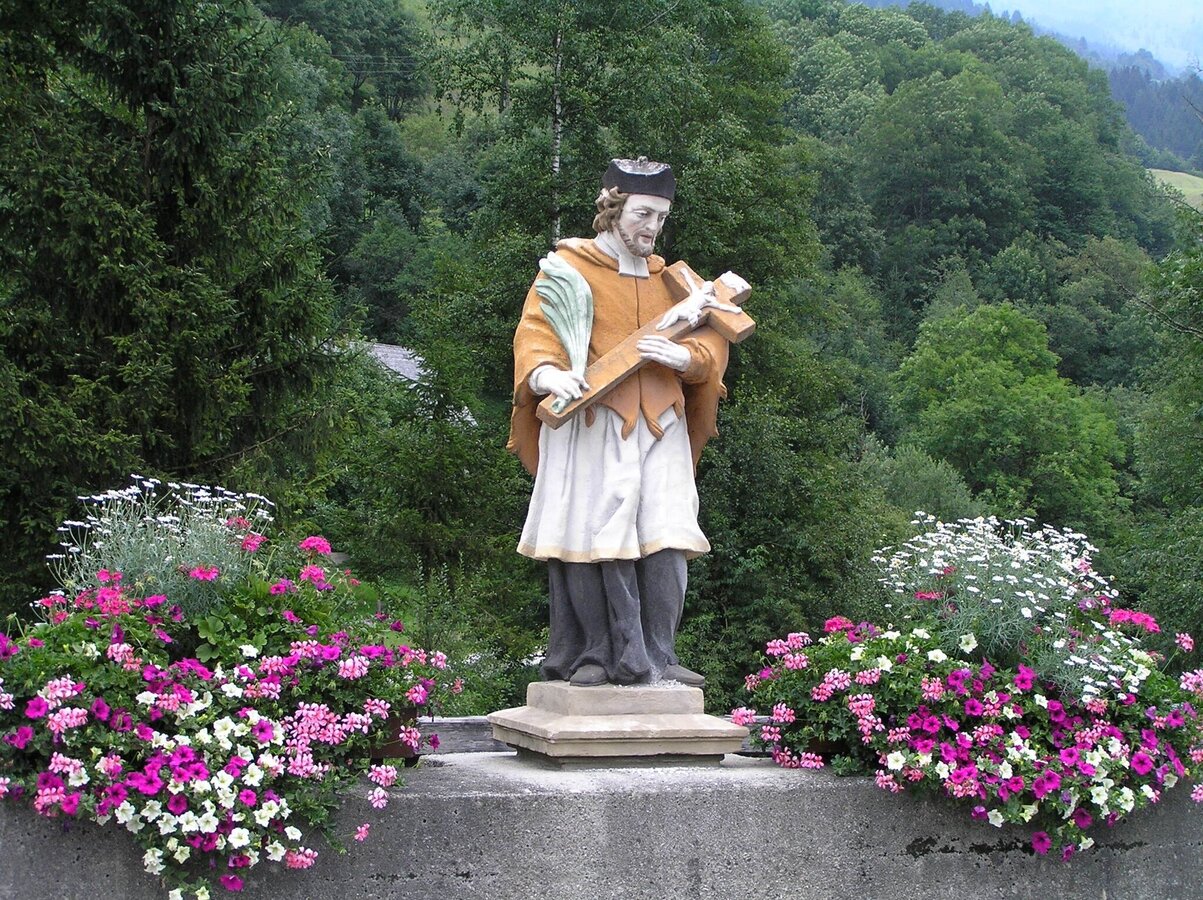
St. Hemma was born around 980 as the Countess of Friesach-Zeltschach. Her charity and patronage made her well-known among the population. With her wealth, she also founded the Benedictine monasteries of Gurk and Admont.
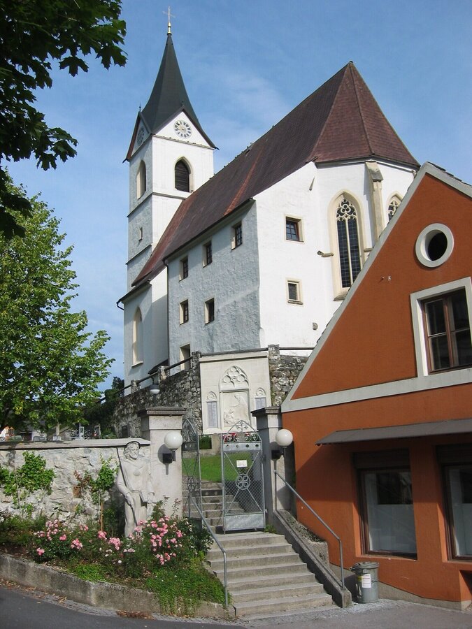
Irdning, a picturesque village at the foot of the mighty Grimming, was first mentioned in 1140 as "Idenich". In 1145, the church of St. Peter und Paul was documented for the first time. It is one of the oldest in the upper Ennstal. The parish, originally subordinate to the former Rottenmann Abbey, was mentioned as early as 1151 and once had two future popes, Pius II and Pius III, as parish priests. The church's interior dates mostly from the 17th and 18th centuries. The Falkenburg hunting lodge in Irdning was built in 1615. Count Sigismund Welsersheim gave the castle to the Capuchins and had it expanded into a monastery in 1711, which was almost destroyed by fire in 1777. Currently, the Falkenburg serves as a retreat house.
An important, once heavily used transport route connected the Ennstal with the Murtal via the Glattjoch. Schloss Donnersbach, situated on a steep hill sloping down towards the valley above the village of the same name, is visible from afar. It consists of two wings at right angles to each other, connected by an archway. The castle church of St. Ägydius, built into the main wing, was expanded in 1786 and elevated to a parish church. Parts of the moat and the curtain wall of the village's former fortifications are still preserved.
Nestled in the mountains of the Niedere Tauern, the village of Donnersbachwald lies at an altitude of 1,000 metres in the rear Donnersbachtal. The parish church of St. Leonhard was built in 1753/54 by order of Empress Maria Theresia, who had apparently come to know and love the area personally. Until then, the inhabitants of the small mountain village had to undertake the long and arduous journey to Irdning for Sunday service. The high altar features a depiction of the Virgin Mary with child in its centre, with the two patron saints St. Leonhard and St. Patrizius at her feet. The altarpiece was created by the famous Rococo painter Johann Josef Karl Henrici. On the side altar is the miraculous image "Maria vom guten Rat".
The tour
Map, elevation profile & further information
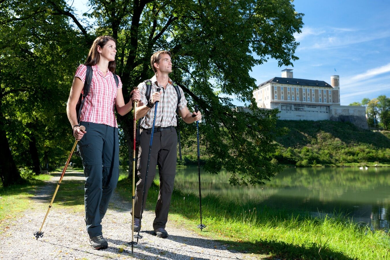
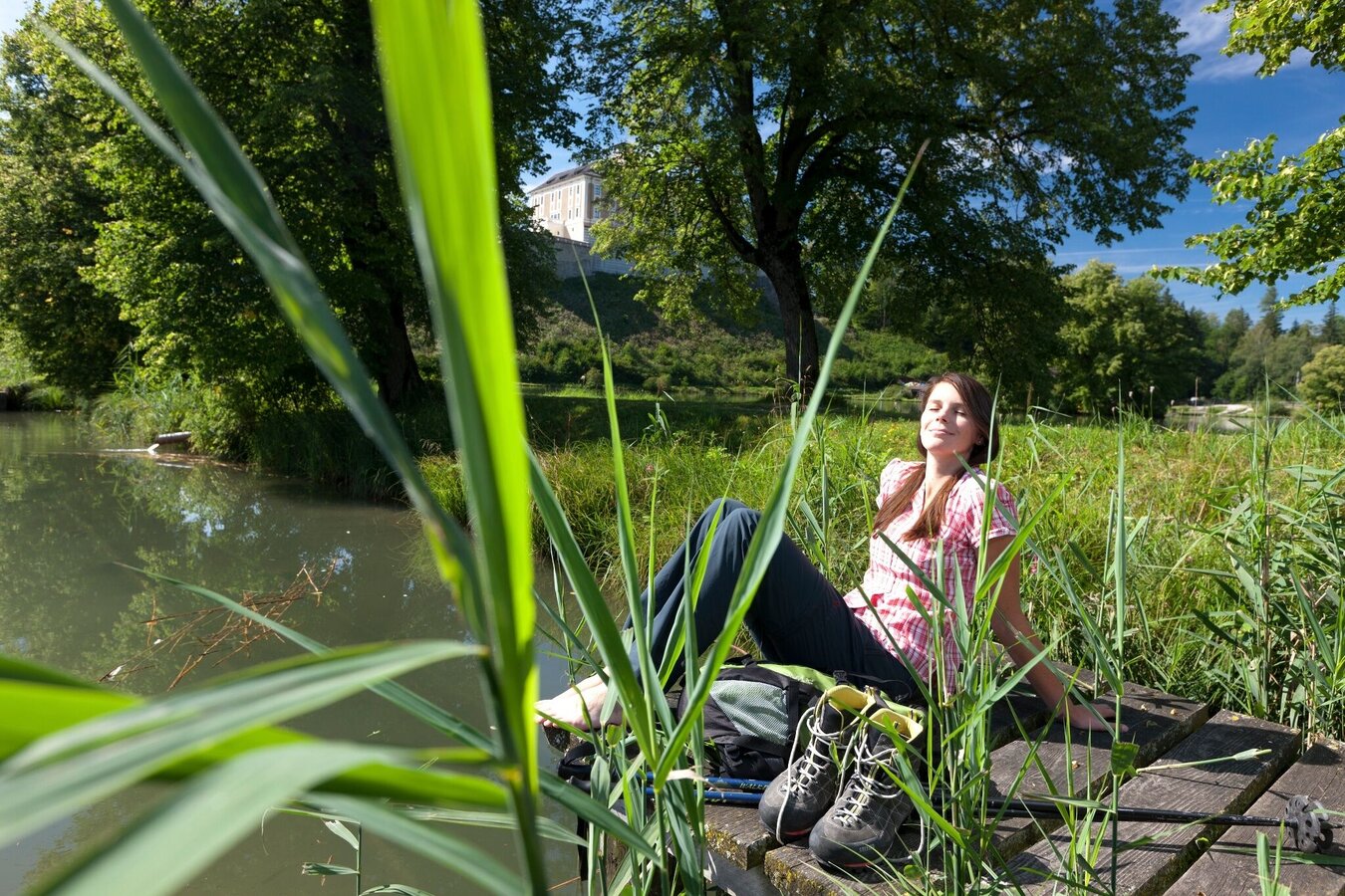
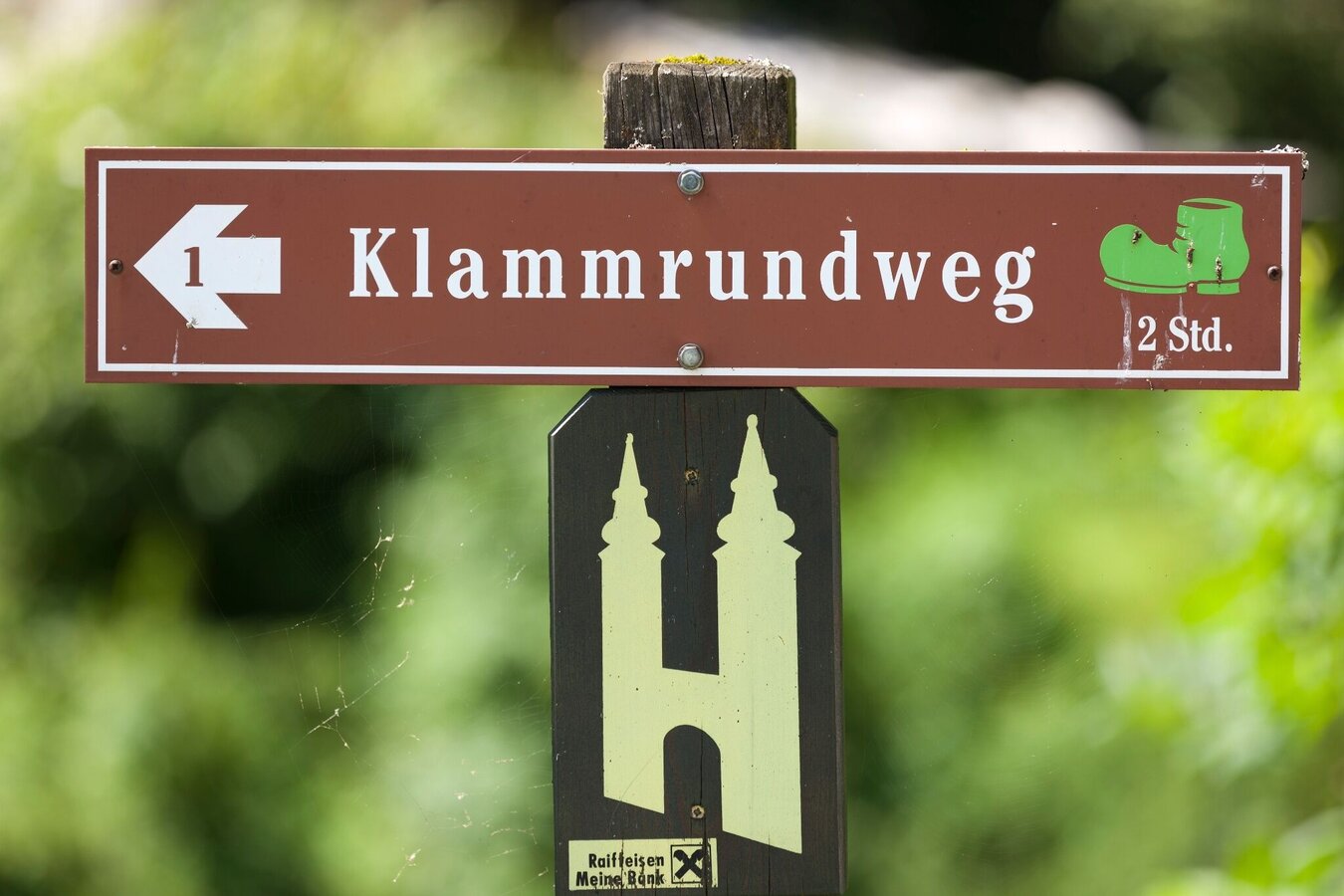
Starting from Lassing, the Hemmaweg leads us to Treschmitz and from there along hiking trail no. 6 - the so-called "Schattenbergwanderweg" - through the villages of Wieden, Schattenberg, Ödstein and Stein to Döllach. The path now continues almost level on the road, first briefly towards Liezen (right). After the Egger woodwork plant, we keep left and walk along a stream to the Ennsradweg. Here we turn left and follow the cycle path or the running track upstream along the Enns to the footbridge of Wörschach and then further to Irdning to the "schwarzer Weg" junction. The path now leads away from the Enns to the left and we march into the village, where a slightly ascending gravel road leads to the church of Irdning.
From the market square in Irdning, we can walk up through Klostergasse to the Kapuzinerkloster. From there we go back to the road, which now leads upwards to Winklern. In Winklern we follow the signs for the "Römerlauf" to the Kalvarienberg. The "Römerlauf" or hiking trail no. 4 then continues directly into the village center of Donnersbach. You can collect your pilgrim stamp in the parish church of Donnersbach. Now it is a steady uphill climb for about three hours from Donnersbach to Donnersbachwald, following the course of the road. After the avalanche protection tunnel, we turn right behind the farmstead vulgo Lehmbacher, cross the Donnersbach at a wooden bridge and reach the Fössner via the slightly ascending path no. 3 and continue left to vulgo Hoanz. Hiking trail no. 2 finally leads us past the Mörsbacherhof and the Pension Purkhardt, behind which we turn right, to the church of Donnersbachwald.
Detailed information on how to get there can be found here.
Parking spaces can be found at the primary school or at the swimming lake.ÖBB www.oebb.at or Verbundlinie Steiermark www.busbahnbim.at
With the BusBahnBim App from the Verbundlinie, timetable information is easier than ever: all connections by bus, train and tram in Austria can be queried by entering locations and/or addresses, stops or important points. The app is available as a free app for smartphones (Android, iOS) – on Google Play and in the App Store
Mountain rescue emergency number: 140
Emergency reporting tip – provide answers to the six W-questions: What happened? How many injured? Where did the accident happen (GPS coordinates if possible)? Who is reporting (callback number)? When did the accident happen? Weather conditions at the accident site?
Packing your backpack correctly makes everything easier: pack heavy items first. The water bottle should always be within easy reach in a side pocket. All items that are needed frequently, such as sunglasses, camera or hiking map, belong on top. Emergency equipment including blister plasters belongs in every backpack, and dressing according to the "layering system" is always recommended!
Steiermark Tourism, Tel. +43 316 40030, www.steiermark.com
TV Schladming-Dachstein, Tel. +43 3687 23310, www.schladming-dachstein.at
Monika Gschwandner-Elkins: Hemma Pilgerwege, ARGE Hemma Pilgerweg, 9313 St. Georgen am Längsee, Freytag&Berndt und Artaria KG, 2008


