


Grimming-Donnersbachtal
Ritzmansdorf-Taschenberg-Way
Hiking trail
Data:

copyright: Christoph Lukas

copyright: Christoph Lukas

copyright: Christoph Lukas

copyright: Christoph Lukas

copyright: Christoph Lukas

copyright: Christoph Lukas

copyright: Christoph Lukas

copyright: Christoph Lukas

copyright: Christoph Lukas

copyright: Christoph Lukas

copyright: Christoph Lukas

copyright: Christoph Lukas

copyright: Christoph Lukas

copyright: Christoph Lukas

copyright: Christoph Lukas

copyright: Christoph Lukas
Tour description
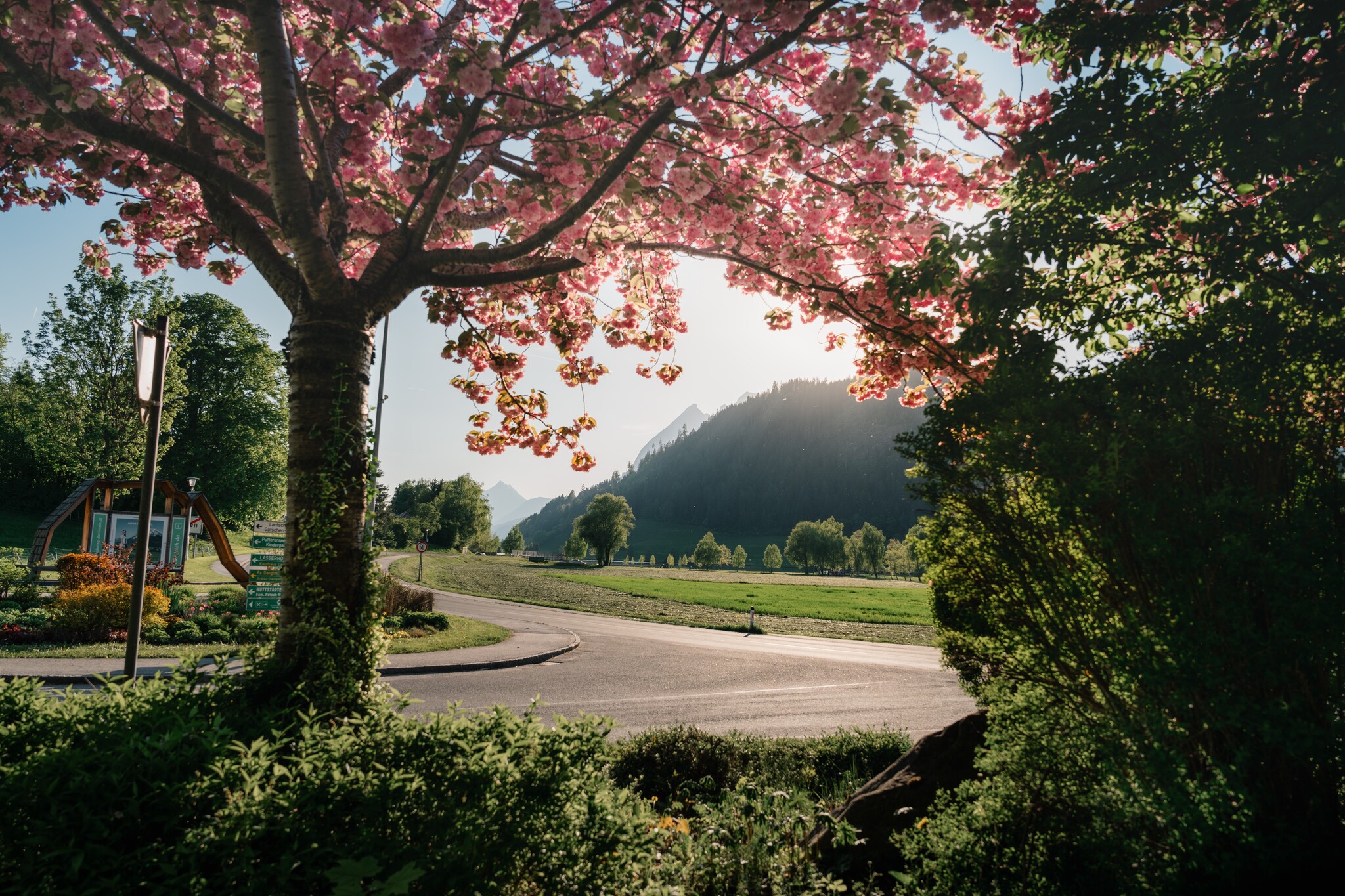
A circular trail that leads you left after the Bauhof a little steeper up to Ritzmannsdorf, via Tachenberg and the Feuerle farm back to the village. Extra-wide mountain & valley view included.
The tour
easy
publicly accessible
Starting and end point
Parking at the tennis court
Tour characteristics
Distance: 3.8 km
Fitness (2/6)
Information
Distance: 3.8 km
Duration:
1:30 h
Ascent: 140 m
Descent: 140 m
highest point: 787 m
Best season
Jan
Feb
Mar
Apr
May
Jun
Jul
Aug
Sep
Oct
Nov
Dec
Map, elevation profile & further information
You start at the tennis court and walk to the building yard. Then left, following the signs, the path steeper to Ritzmannsdorf. Again left to Tachenberg and then downhill via the Feuerle farm back to Aigen. A circular trail with extra-wide mountain & valley views.
Way number: 3
- Coming from Liezen, turn left in Wörschach and follow the signs to Aigen/Ennstal. In Aigen drive through the village and shortly before the end sign, turn left and park your car at the large gravel parking lot.
- Coming from Schladming, follow the signs to Irdning/Aigen at the Trautenfels intersection. Drive through Irdning and via Schlattham and past the Putterersee, turn right shortly after the town sign Aigen and park your vehicle at the large gravel parking lot.
With the train to the trainstation ,,Stainach-Irdning'' or ,,Liezen'' and than with the bus 940 to Aigen im Ennstal.
- Plan your trip in advance, taking into account walking time, distance, elevation gain, hazards, and weather reports.
- Let others know where you are going and when you want to be back.
- Turn back in good time if the weather deteriorates. If you are caught in a thunderstorm, stay away from free-standing trees and wait out the storm, crouching if possible.
- Stay on marked trails and remember to close pasture fences.
- If you are a dog owner: Clarify before the hike if you need to cross a pasture. Keep your dog on a leash and make sure it stays calm. If a cow attacks, let the dog off the leash immediately. Never pick him up to defend him.
You must try the different games on the way down and visit the ,,Historyplace''.Tourism information: www.schladming-dachstein.at
Tourist Office Schladming-Dachstein
Schladming-Dachstein Tourist Office
Ramsauerstraße 756
8970 Schladming
T: +43 3687 23310
info@schladming-dachstein.at
- SCHLADMING-DACHSTEIN Hiking EAST. Available free of charge from tourist offices and accommodation providers.
- SCHLADMING-DACHSTEIN Hiking Map 1:50,000


