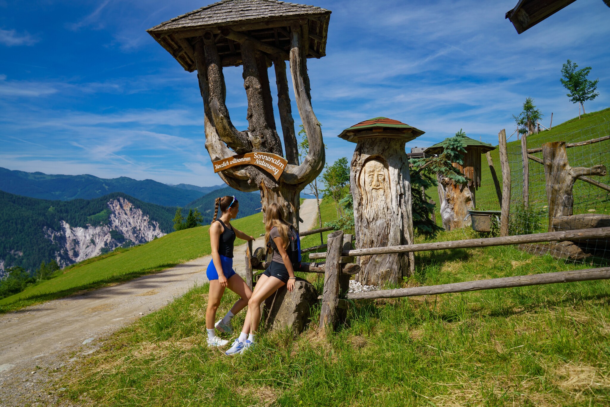
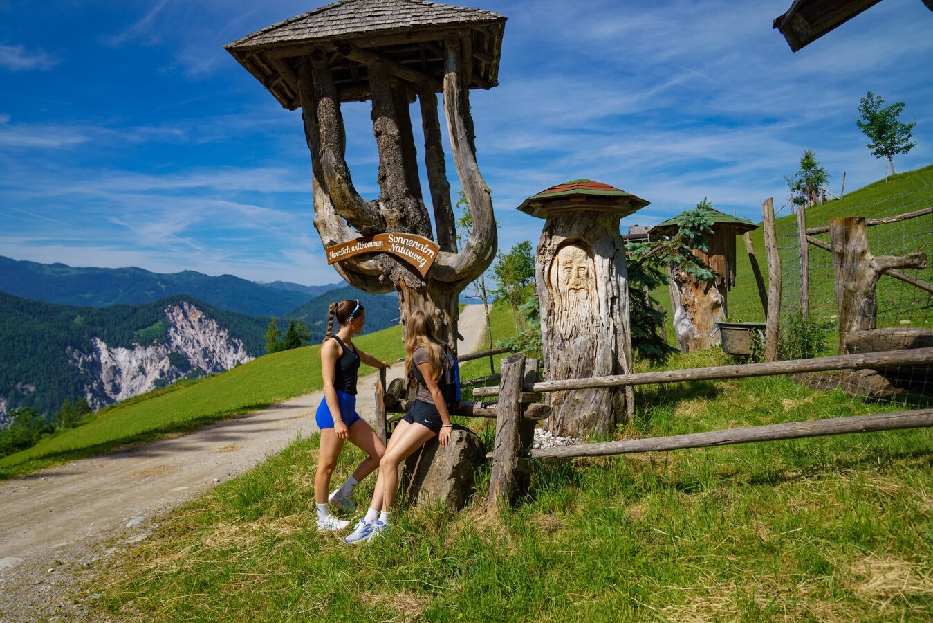
Sonnenalm-Panoramaweg
Tour description
The tour
Map, elevation profile & further information
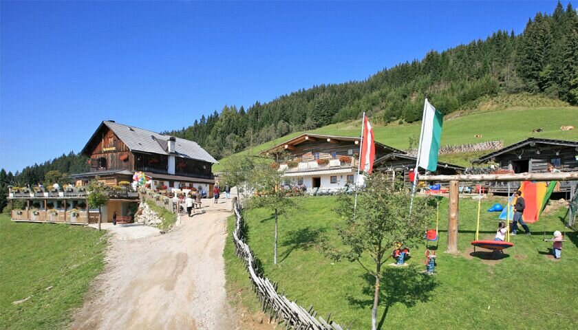
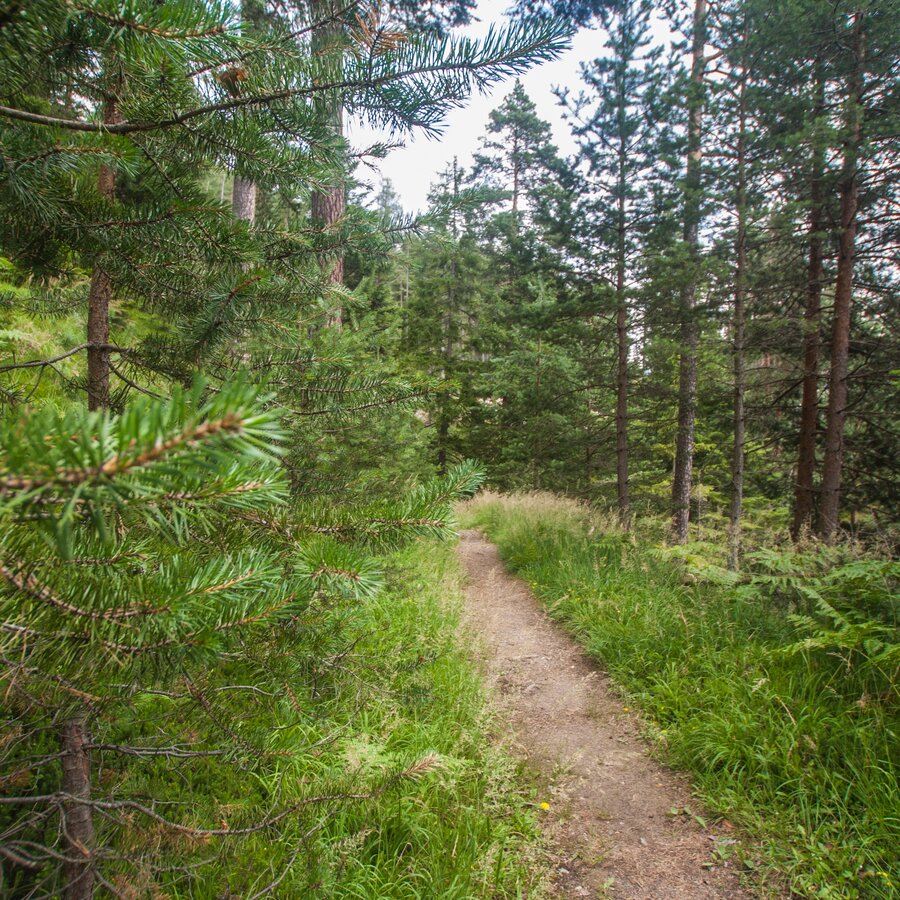
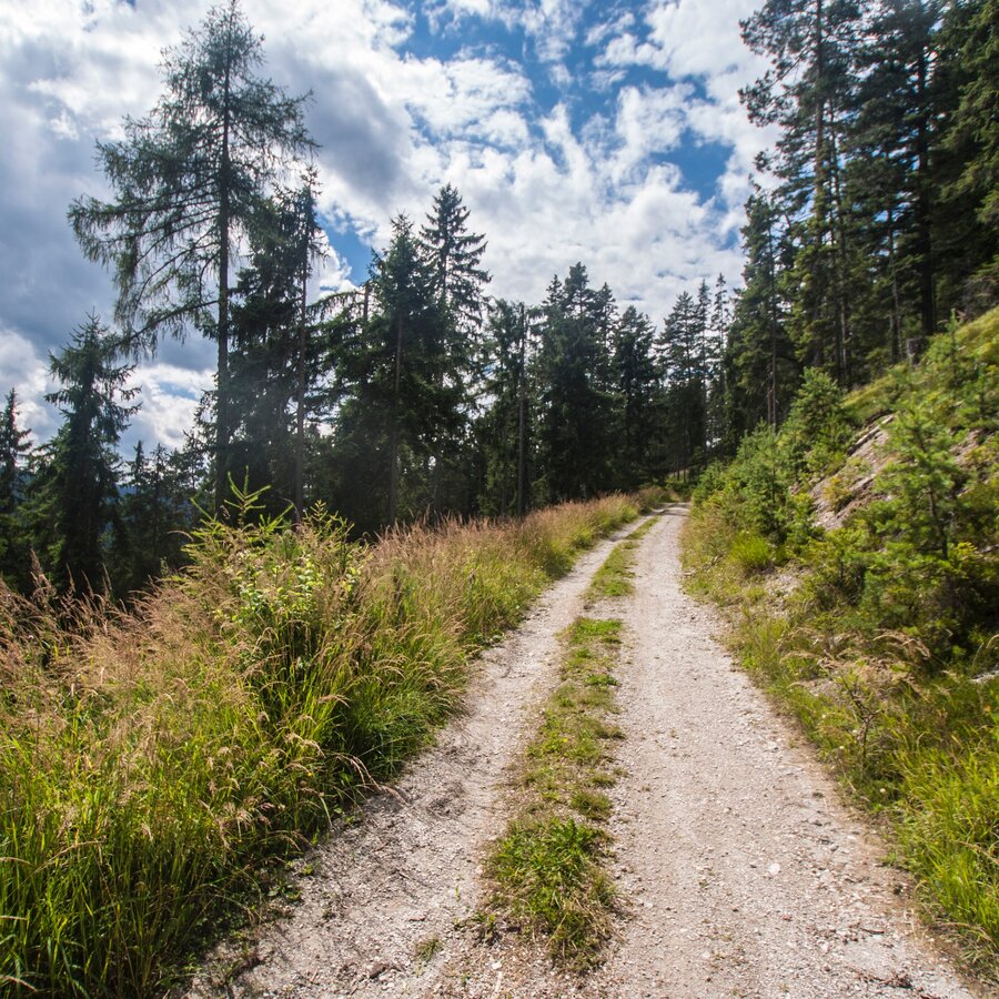
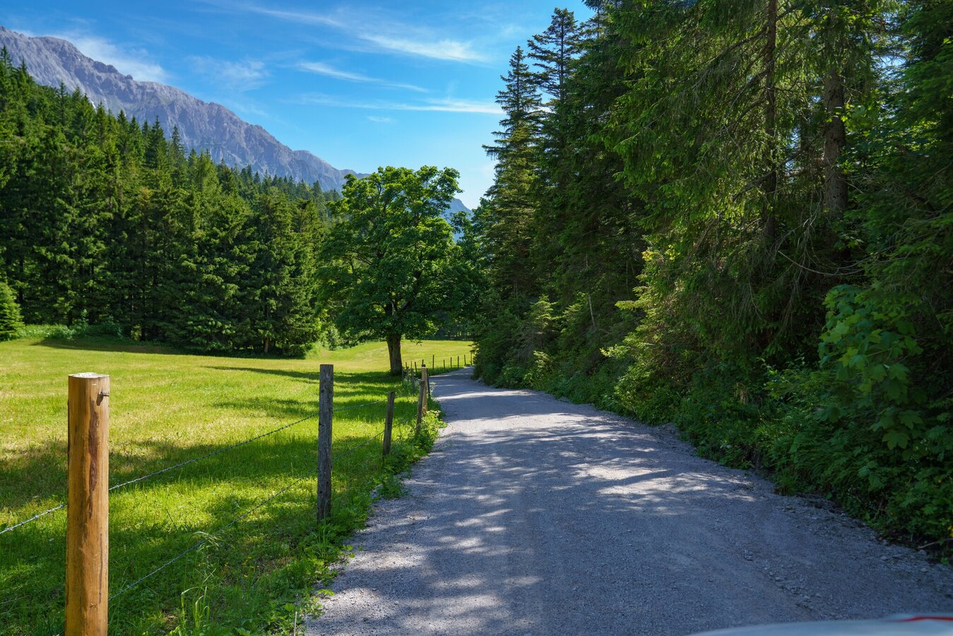
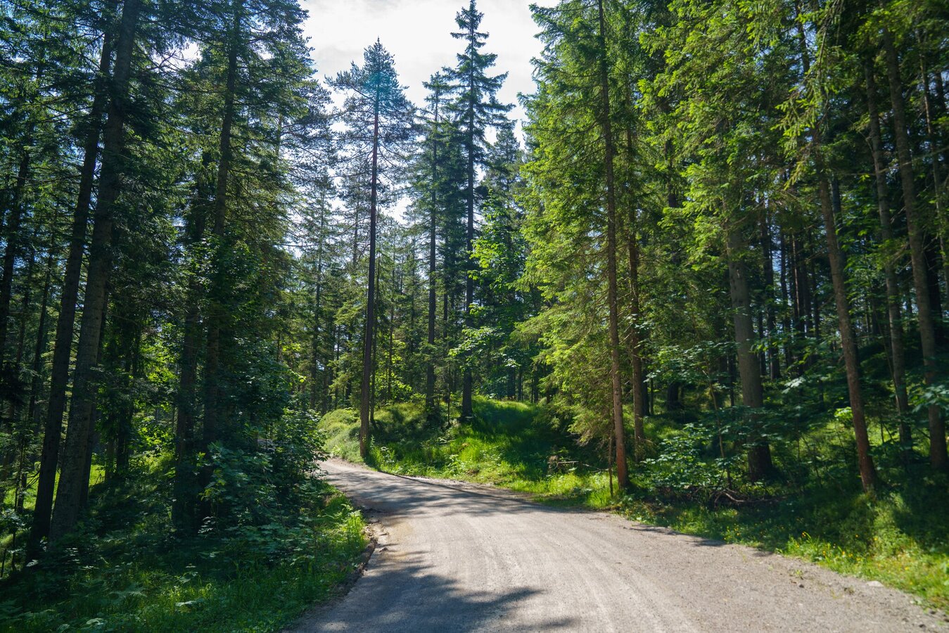
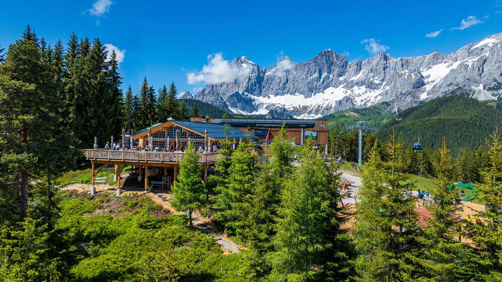
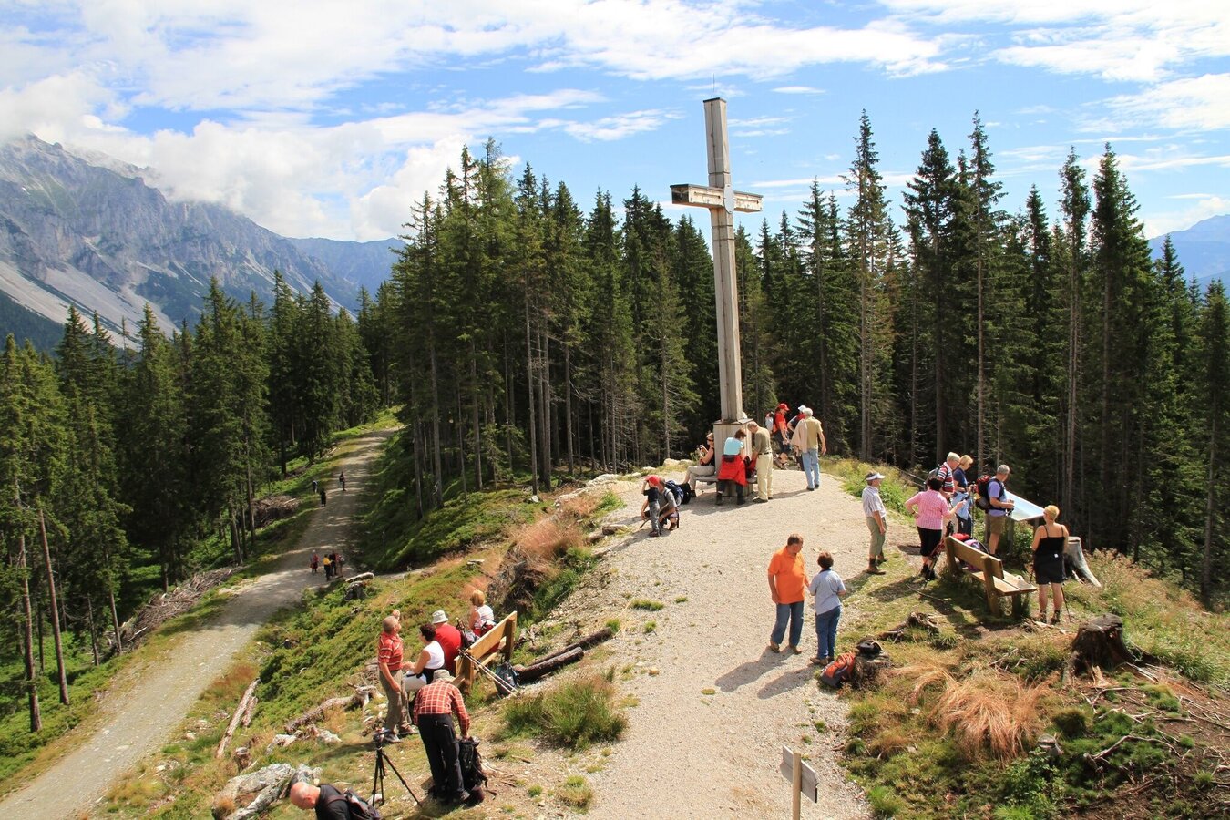
From the hiking portal at the Rittisberg-Talstation, follow the path to the left below the Märchenweg. There, follow the signs for „Rittisbergrundweg“. The path continues comfortably along the tree line until you reach a residential area. Here, follow the signs towards the Wanderportal Greimelbacher. Passing the hiking portal, continue on the forest road towards Halseralm and Sonnenalm. At the Sonnenalm, switch to the Jägersteig, which leads you up to the summit of the Rittisberg. Once at the top, the summit cross awaits you with beautiful nature all around you. Then continue hiking towards Rittisstadl. Here you can stop for a cozy break, enjoy some refreshments, and take a rest.
Afterwards, follow the Märchenweg back to the Rittisberg-Talstation and thus to your starting point. Alternatively, you can also hike via the Schwoagbründlweg or take the Rittisbergbahn back down to the valley.
From the west:Tauernautobahn A 10 to the Ennstal junction - exit towards Graz/Schladming - about 20 km on the Ennstal-Bundesstraße to Schladming - turn-off to Ramsau. Continue to Ramsau-Schildlehen and to the Rittisberg car park.
From the east/north: Pyhrnautobahn towards Liezen Ennstalbundesstraße to Schladming - turn-off to Ramsau. Continue to Ramsau-Schildlehen to the Rittisberg car park.
Parking spaces are available directly at the Parkplatz Rittisbergbahn.
Sudden changes in weather, rapid drops in temperature, thunderstorms, wind, fog and snowfields are objective hazards and require the correct behavior on the way. Hut keepers are experienced mountain experts; they can provide good tips regarding the weather and the route. Lack of equipment, overestimating one's abilities, carelessness, poor physical condition and a wrong assessment can lead to critical situations. During thunderstorms: strictly avoid summits, ridges and fixed rope backups.
GPS data and orientation aids
Available GPS data – just like hiking maps – are only an orientation aid, as they can never represent an exact image or the level of detail of a trail in reality. Especially at danger spots, the final decision on if and how the route continues must always be made based on the conditions on site.
In case of emergency, please dial the following emergency numbers:
- 140 - for alpine emergencies - throughout Austria
- 112 - Euro emergency call GSM emergency service
Information about buses: www.rvb.at
- Hiking map "Wandern WEST" available at the regional information offices.
- Hiking map Schladming, 1:25,000, available at the Schladming information office.
- Hiking map Schladming-Dachstein, 1:50,000, available at the regional information offices.
- Hiking guide Schladming-Dachstein by Herbert Raffalt, available at the regional information offices.