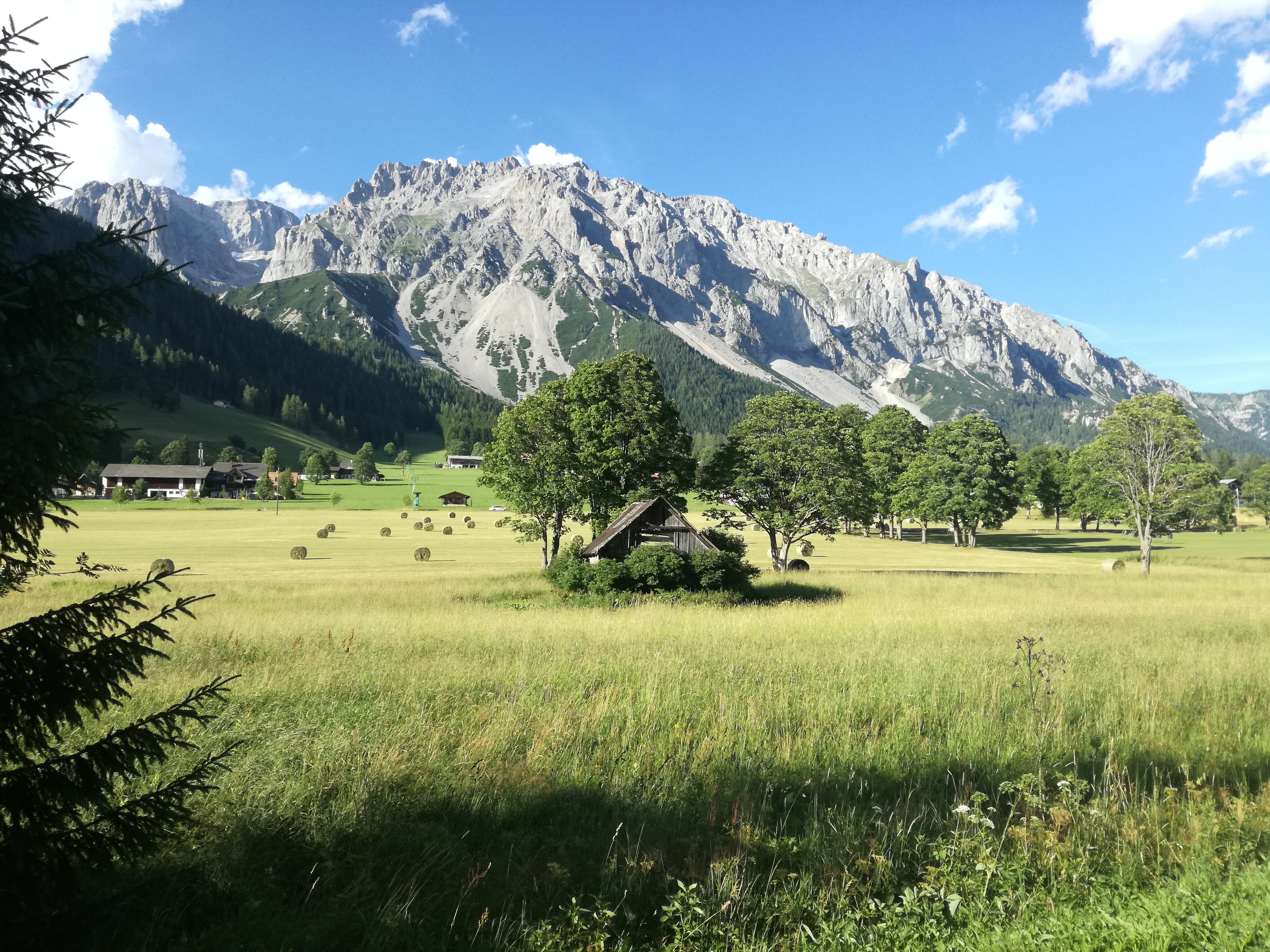
Schildlehen Loop
Tour description
The tour
Map, elevation profile & further information
Starting from the Waldcafé Liftstüberl, the path first leads past the valley station of the Rittisberg. Then keep left and follow the path towards the forest. There, the signpost „Rittisbergrundweg“ points the way to the east.
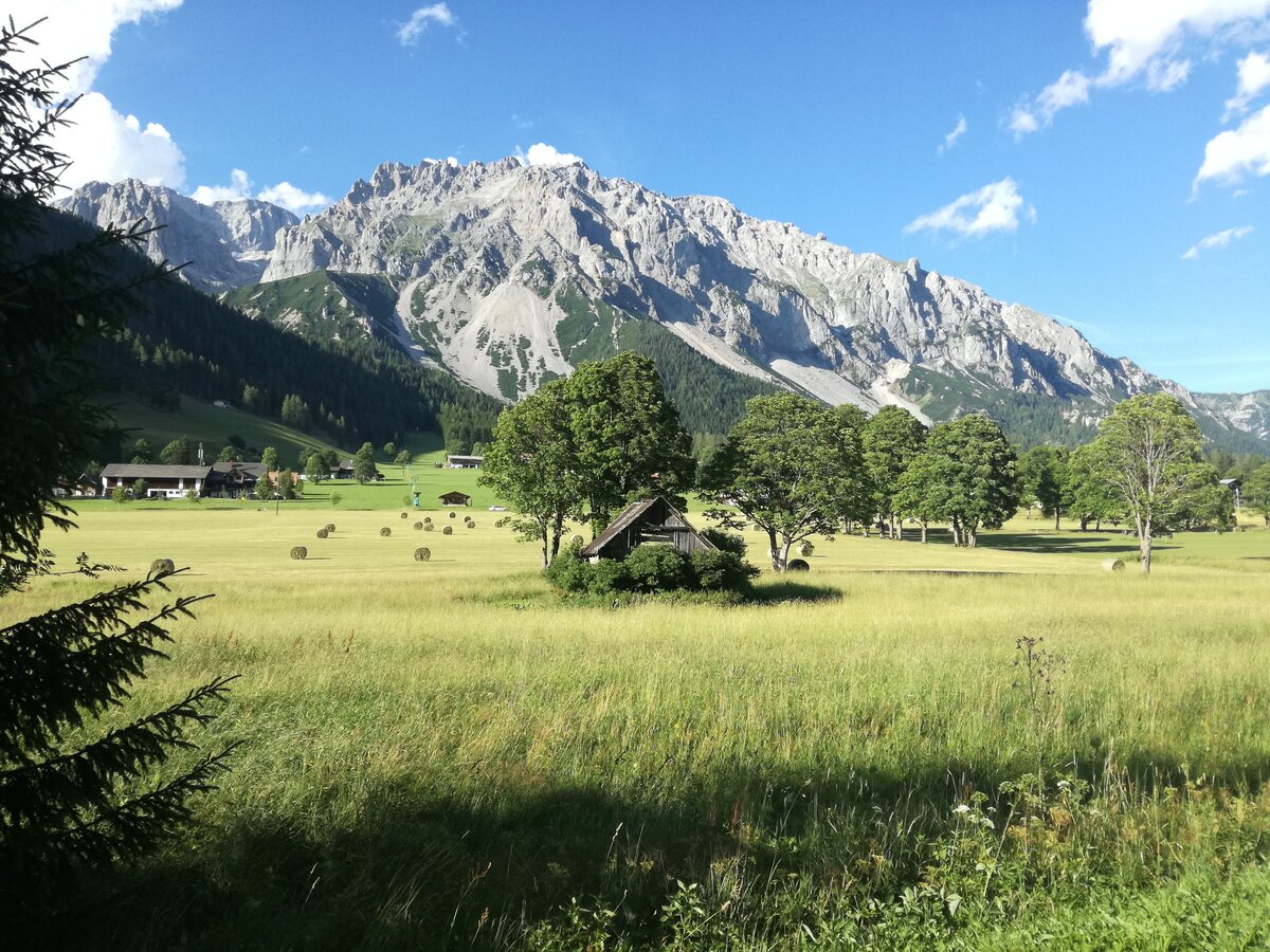
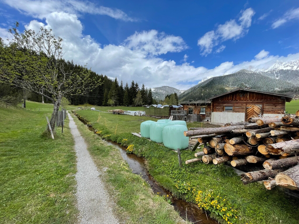
The narrow gravel path runs pleasantly along the edge of the forest and offers a particularly beautiful route thanks to the shade-providing trees. Follow the path until you reach the Tischlbergerweg and turn left there towards the Dachsteinmassiv.
Accompanied by the Karbach, the path continues to the main road. There, walk westwards on the pavement back towards the Rittisberg. Then cross the road to the left to return to your starting point, the Waldcafé Liftstüberl.
From the west: Tauernautobahn A 10 to the Ennstal junction - exit towards Graz/Schladming - approx. 20 km on the Ennstal-Bundesstraße to Schladming - turn-off for Ramsau. Continue to Ramsau-Schildlehen and to the Rittisberg car park.
From the east/north: Pyhrnautobahn towards Liezen Ennstalbundesstraße to Schladming - turn-off for Ramsau. Continue to Ramsau-Schildlehen to the Rittisberg car park.
From the west: Tauernautobahn A 10 to the Ennstal junction - exit towards Graz/Schladming - approx. 20 km on the Ennstal-Bundesstraße to Schladming - turn-off for Ramsau. Continue to Ramsau-Schildlehen and to the Rittisberg car park.
From the east/north: Pyhrnautobahn towards Liezen Ennstalbundesstraße to Schladming - turn-off for Ramsau. Continue to Ramsau-Schildlehen to the Rittisberg car park.
Parkplatz Rittisbergbahn
Take the buses of the Ramsauer Verkehrsbetriebe from Schladming (also from the train station) to Ramsau as far as the Rittisbergbahn/Ski Willy stop. Ramsauer Verkehrsbetriebe timetable www.rvb.at.
In 3 minutes to the valley station of the Rittisbergbahn.
For a safe tour, we recommend the following equipment:
- Weather-appropriate clothing: Ideally using the layering principle and breathable fabrics
- Water bottle: Especially for longer tours and on warm days
- Mobile phone: For emergencies and to find your way
- Sunscreen, sunglasses
- First-aid kit: If you are out for longer or in alpine terrain
- Small snacks for longer tours