


Grimming-Donnersbachtal
Puttererlake Trail (simple)
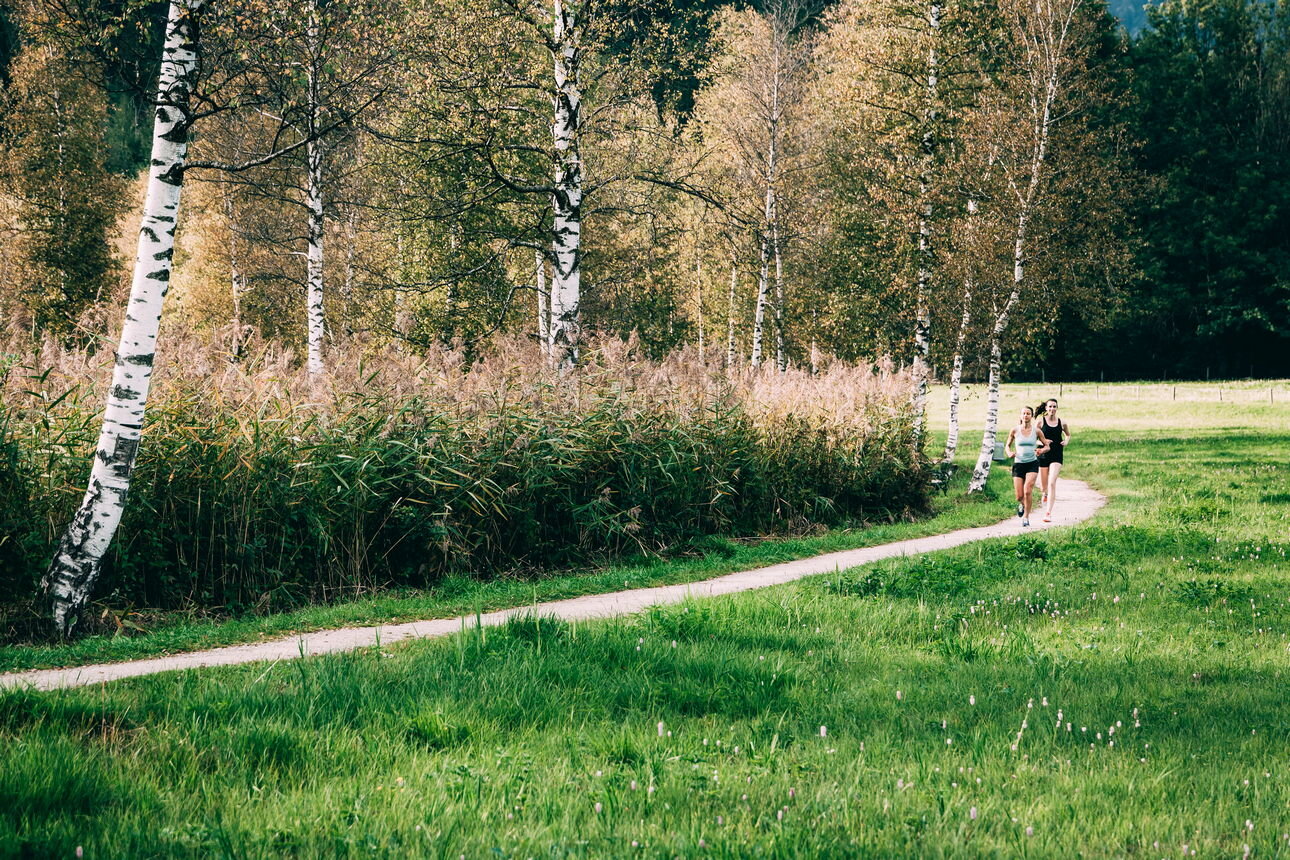
Trailrunning
Data:
copyright: Armin Walcher
copyright: Armin Walcher
copyright: Armin Walcher
Tour description
With the lake in view, off we go. After a short walk we reach the lakeshore. Especially in May and June there is a botanical highlight: the Siberian iris. We run along the campsite, cross a farm and after a short steep climb we come to the "Höhenweg" with a perfect view of the Putterersee. On the left we go up to the Kulm and continue straight towards Hohenberg. From here we return to the campsite on roads with little traffic and along the Putterresee lake to the starting point.
The tour
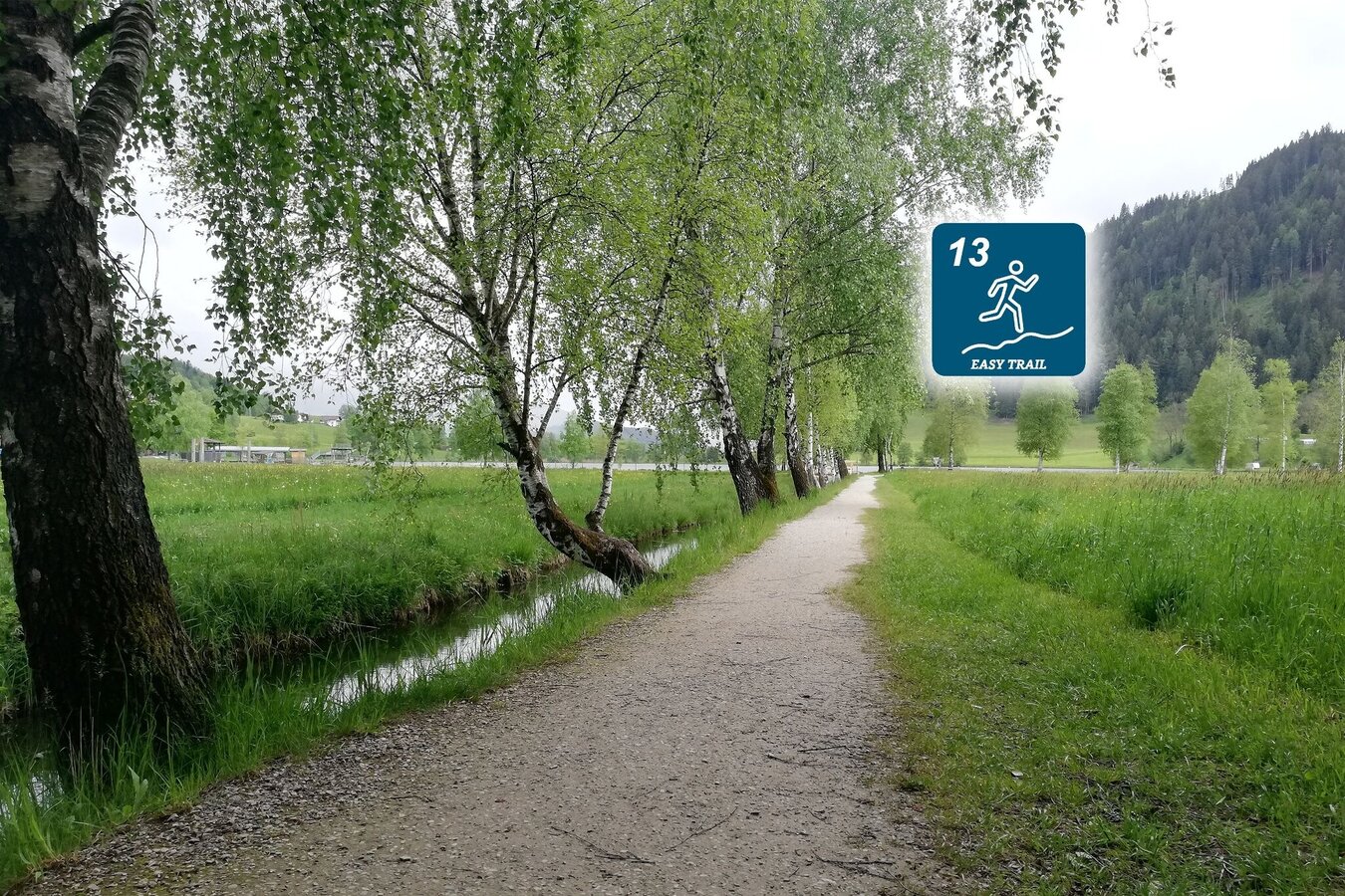
easy
publicly accessible
Starting and end point
Parkingplace tennis court
Tour characteristics
Distance: 4.16 km
Information
Distance: 4.2 km
Duration:
30 min
Ascent: 47 m
Descent: 47 m
highest point: 695 m
Best season
Jan
Feb
Mar
Apr
May
Jun
Jul
Aug
Sep
Oct
Nov
Dec
Map, elevation profile & further information
Trail number: 13
- Coming from Liezen, turn left in Wörschach and follow the signs for Aigen/Ennstal. In Aigen drive through the village and shortly before the end of town sign, turn left and park your car at the large gravel parking lot.
- Coming from Schladming, follow the signs to Irdning/Aigen at the Trautenfels intersection. Drive through Irdning and via Schlattham and past the Putterersee, turn right shortly after the town sign Aigen and park the vehicle at the large parking lot.
With the train to ,,Stainach-Irdning'' or ,,Liezen'' and than with the bus 940 to ,,,Aigen Ennstal Ort''
All informations under:
- Plan your trail in advanceInform yourself about the course of the trail and its demands
- Pay attention to weather forecasts and weather changes
- Let others know where you are going
- Adapt your equipment to the weather and the trail
- Be aware of livestock when crossing pastures
- Trail running shoes - no asphalt running shoes
- Running backpack or vest depending on the length of the tour hydration bladder or softflasks
- thin windbreaker
- first aid kit, including emergency blanket
- cell phone
- energy bar
- money
- change of shirt
- Headband
- Sunglasses
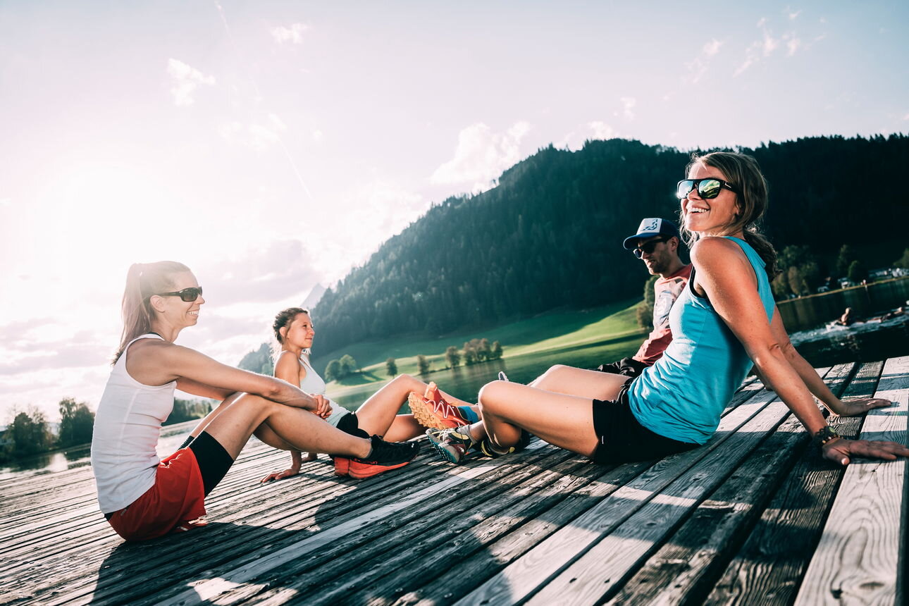
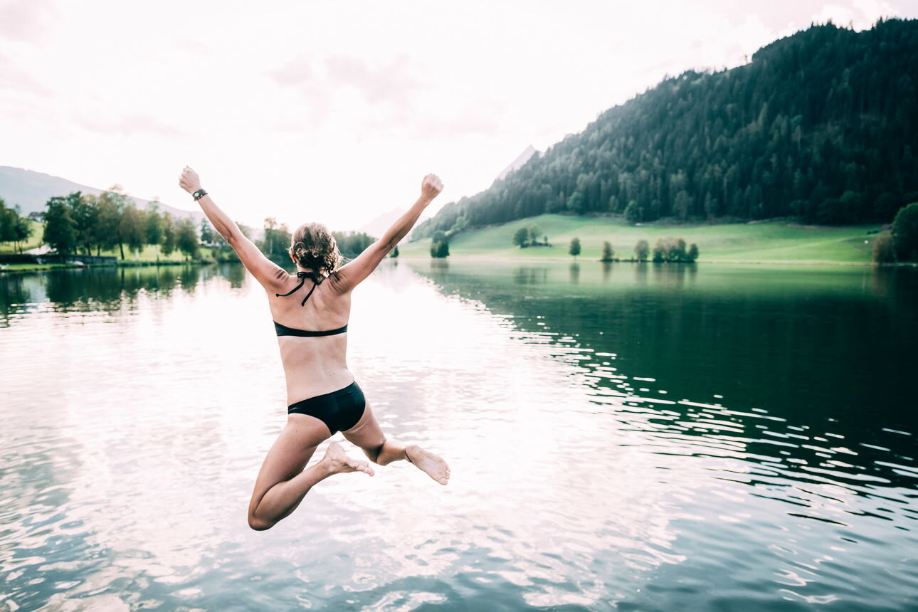
Take a short break at the lake.Tourism information: www.schladming-dachstein.at
Tourism blog: www.derbergdastal.at
www.schladming-dachstein.at/de/Sommer/Wandern-und-Bergsport/Laufen-und-Trailrunning
Tourist Office Schladming-Dachstein
Ramsauerstrasse 756
8970 Schladming
T: +43 3687 23310
Garbage on meadows and paths can not smell mountain and valley. Please take it with you. Agriculture and forestry are important partners for Berg und Tal. They allow you to walk and drive on many of their paths. Be aware that only good cooperation will guarantee your recreational enjoyment in the future.
- Trailrunning map Schladming-Dachstein: available free of charge at all info locations


