Haus-Aich
Oberhausberg loop
Hiking trail
Data:
Tour description
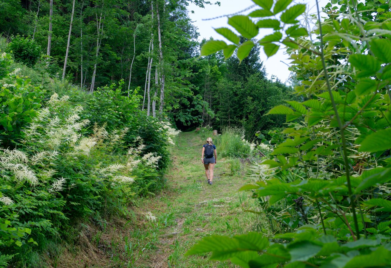
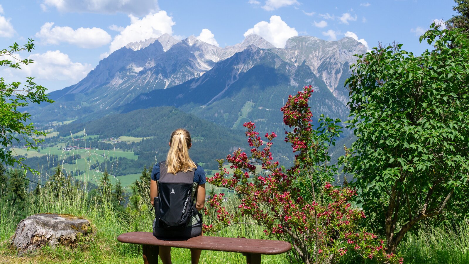
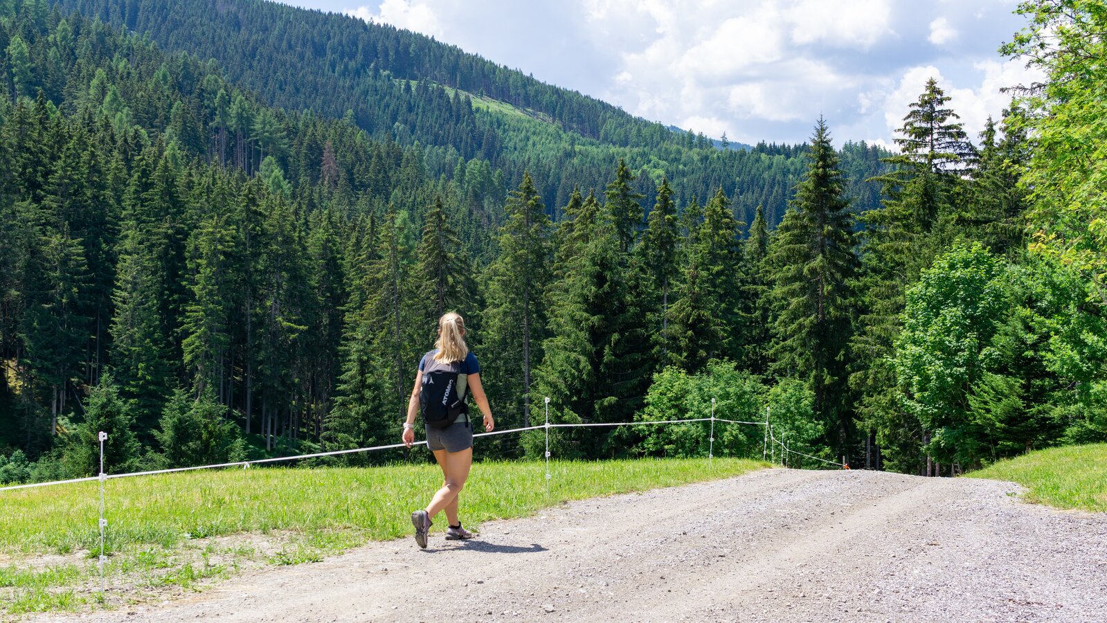
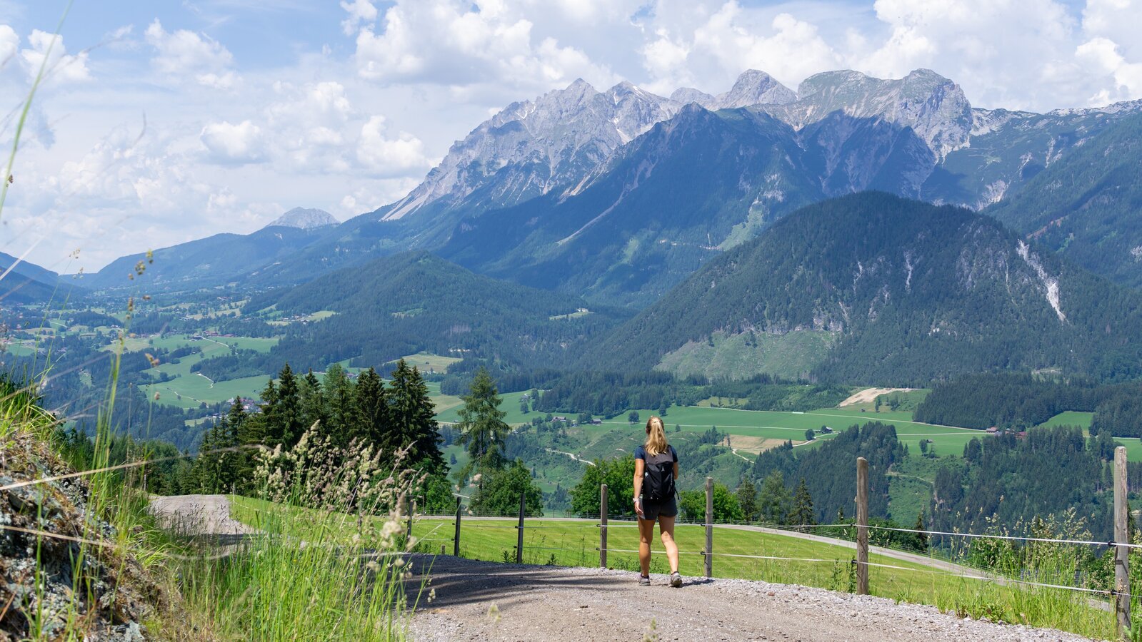
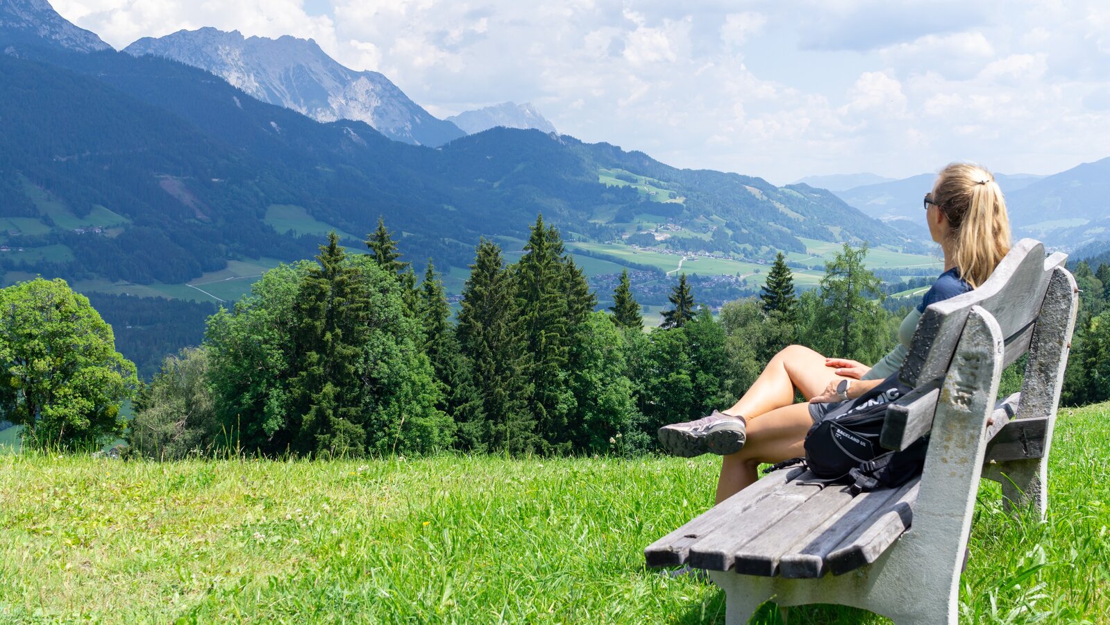
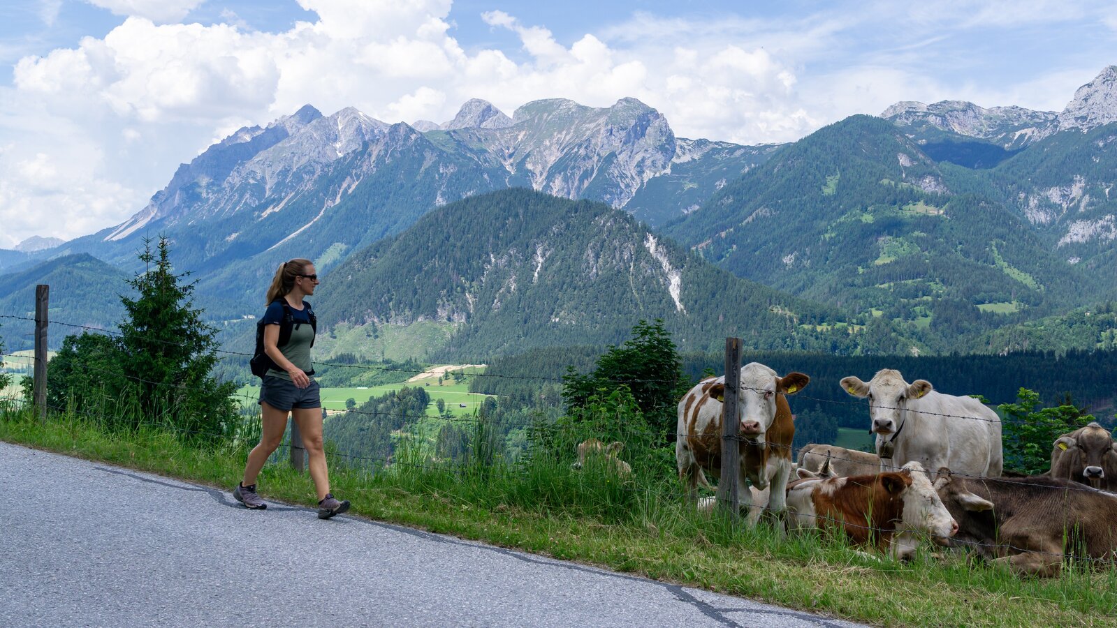
If you like to have a mountain classification without having to overcome the big altitude difference right away, this is the right hike for you. Even if there is no summit cross to tempt you, the hike is very attractive due to the views into the Enns Valley as well as forest and meadow paths.Note: Please follow the signposted hiking trails and especially in the area of Scharlinger/Dirtler do not walk over the meadows or climb over or even trample down (sheep) fences.
The tour
moderate
publicly accessible
Starting and end point
Schlossplatz in Haus
Tour characteristics
Distance: 9 km
Fitness (4/6)
Skills (3/6)
Information
Distance: 9 km
Duration:
2:50 h
Ascent: 475 m
Descent: 475 m
highest point: 1226 m
Best season
Jan
Feb
Mar
Apr
May
Jun
Jul
Aug
Sep
Oct
Nov
Dec
Map, elevation profile & further information
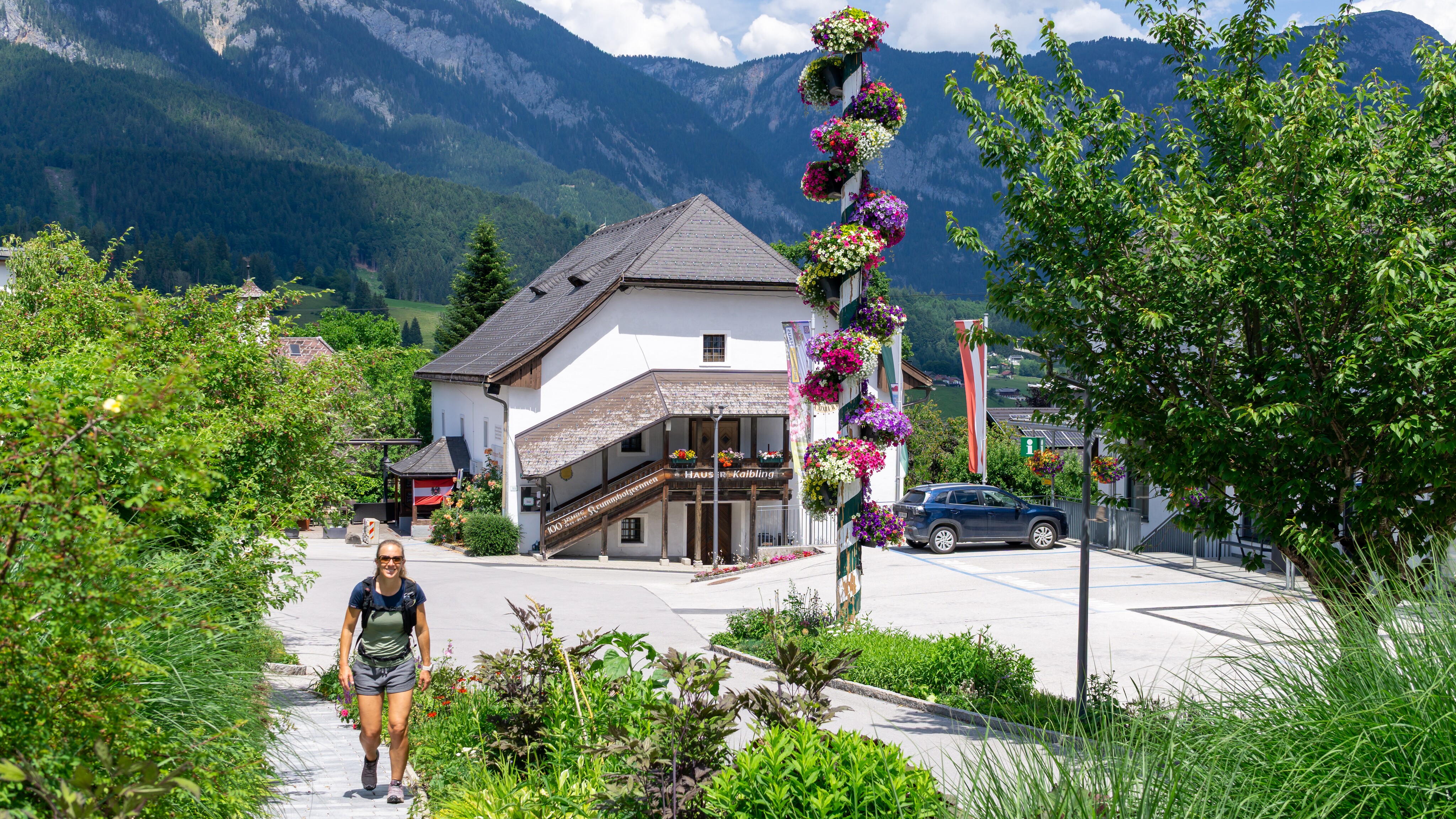
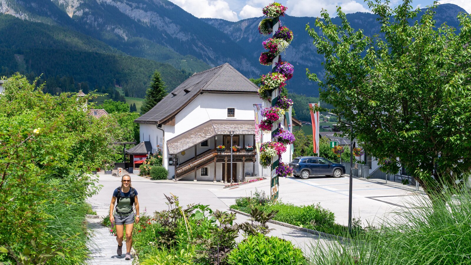
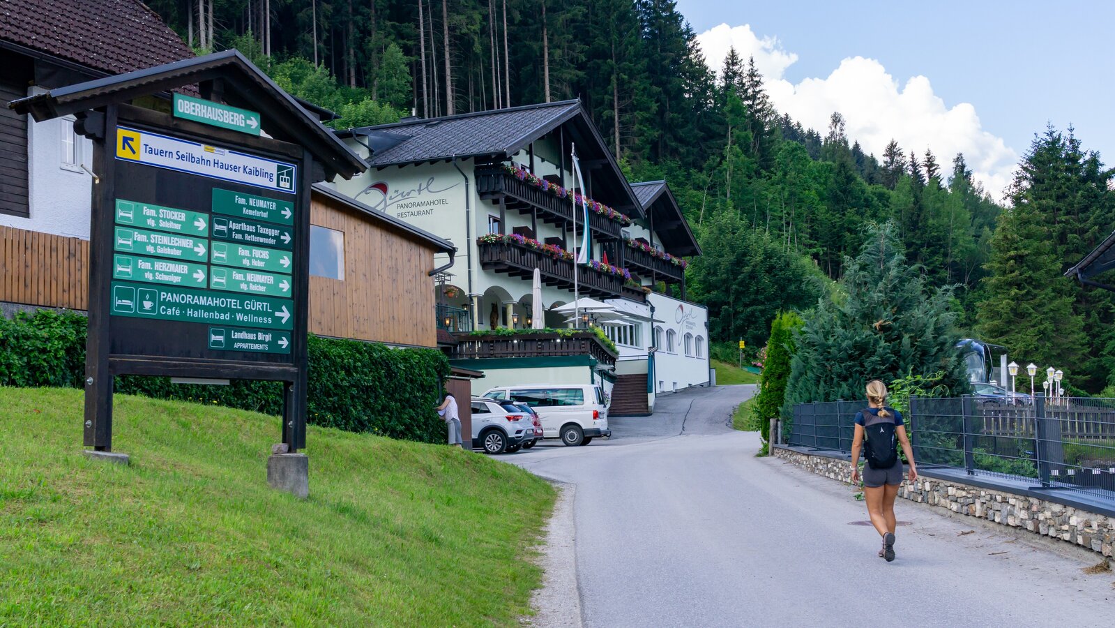
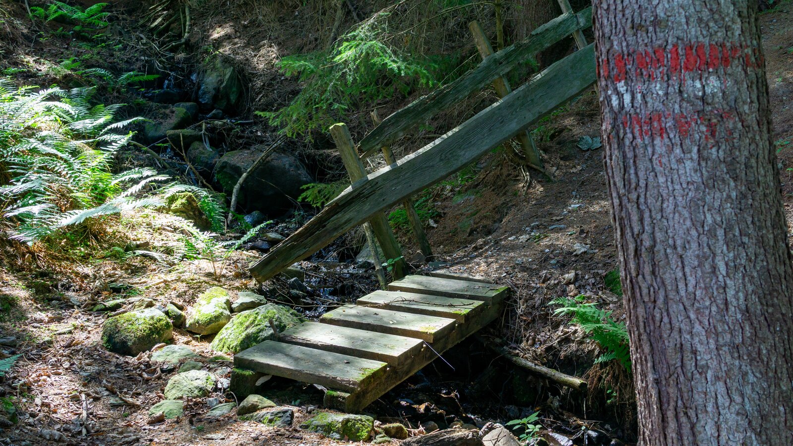
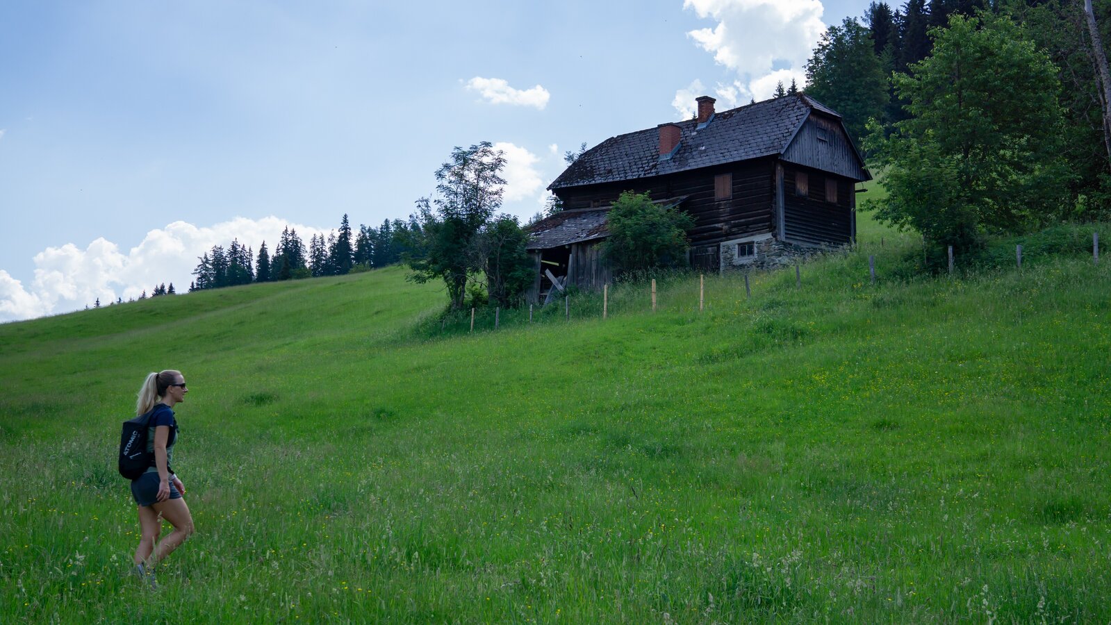
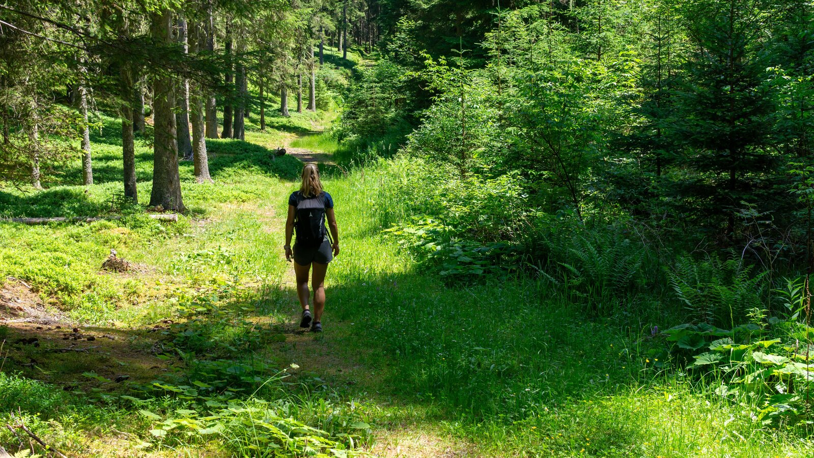
From the Schlossplatz in Haus im Ennstal first south towards the valley station of the Schladminger Tauern cable car, after about 50 m turn left on Oberhausbergstraße, follow the ascending forest path up to Oberhausberg, after the climb south to Gaishuberhof and the shortcut to Kemeterhof (wildlife enclosure). Forest path east to the romantic Salleitner pond, then the forest road downhill to Scharlinger - steep descent. Along the road down to Markt Haus. (Kemeterhof to Scharlinger junction the same as Panoramaweg 100 markings)
Ennstalbundesstraße (B320) - Haus im Ennstal - SchlossplatzEnnstalbundesstraße (B320) - Haus im Ennstal - Schlossplatz
- Directly at the Schlossplatz: parking garage with costs (at the city hall)
- Free parking above the schools (about 200 m away)
Postbus (L900) - Exit: Haus Ort
End of May to mid October: Planaibus (Line: Schladming - Haus - Steirischer Bodensee)
- Sturdy shoes, rain protection, hiking sticks
- Here are all the hiking maps and important brochures to download.
Game enclosure at the Oberhausberg.