Grimming-Donnersbachtal
Lake Trail Aigen
Hiking trail
Data:
Tour description
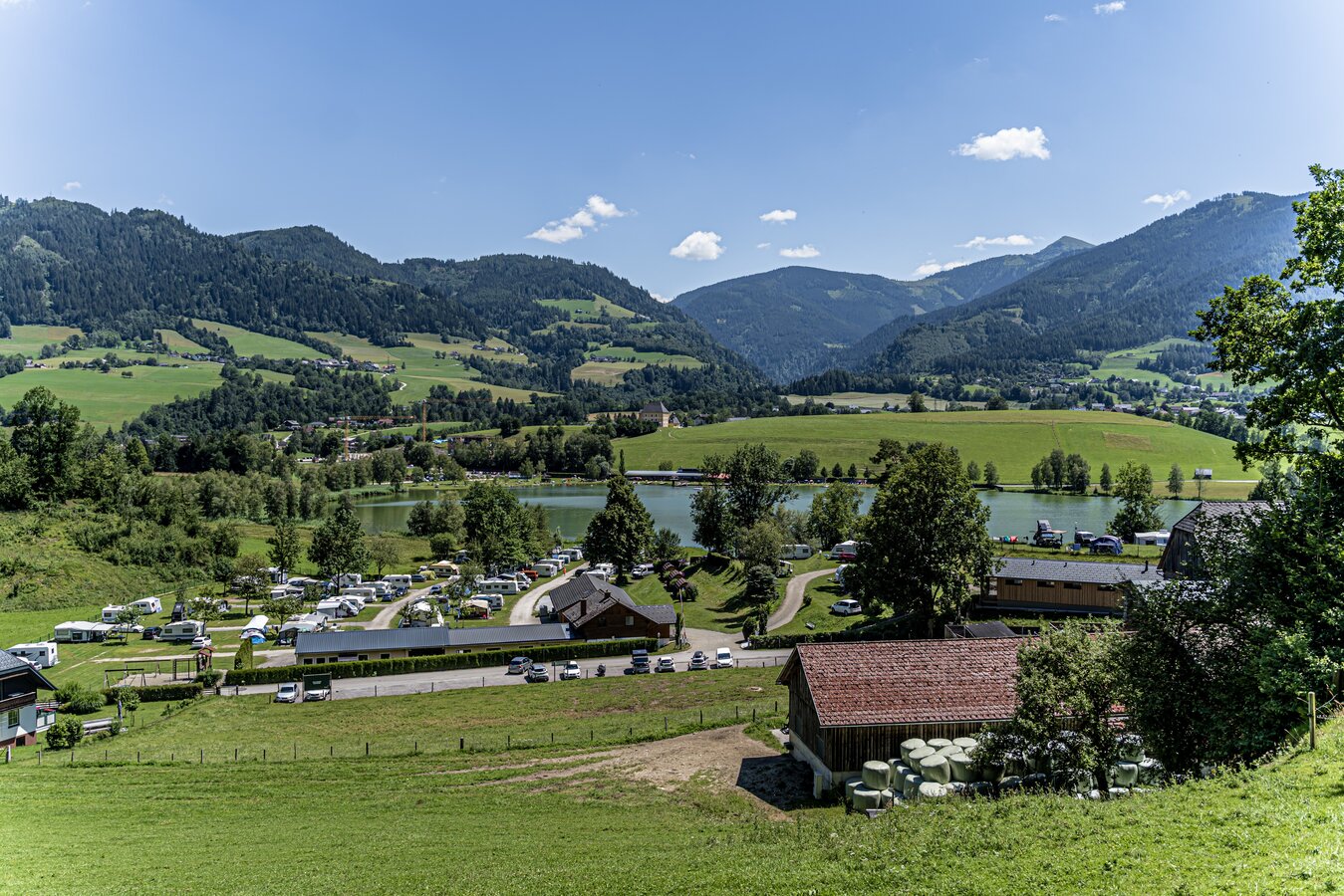
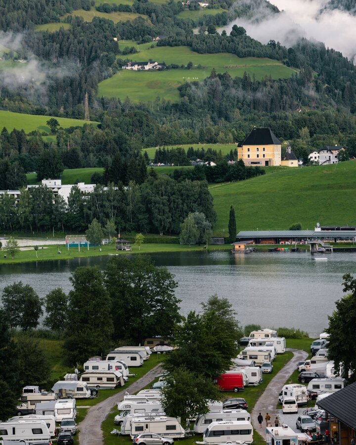
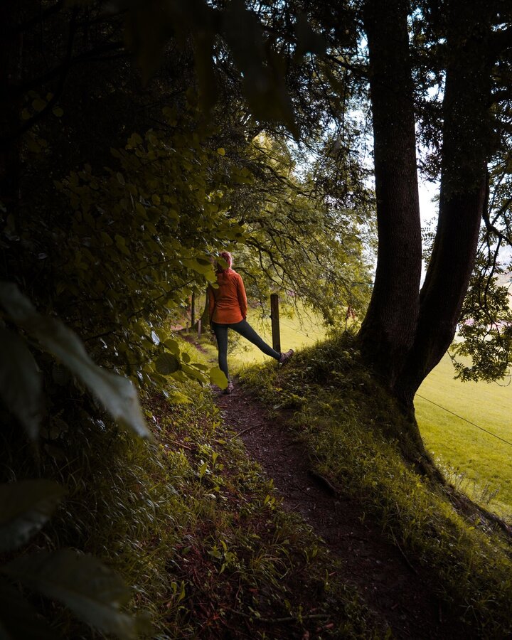
From Putterersee to the campsite, then right to Kulm and along the edge of the forest towards Hohenberg. Via Sallaberg am See back to the village.
The tour
easy
publicly accessible
Starting and end point
Parking at the tennis court
Tour characteristics
Distance: 3.6 km
Information
Distance: 3.6 km
Duration:
1:15 h
Ascent: 50 m
Descent: 50 m
highest point: 695 m
Best season
Jan
Feb
Mar
Apr
May
Jun
Jul
Aug
Sep
Oct
Nov
Dec
Map, elevation profile & further information
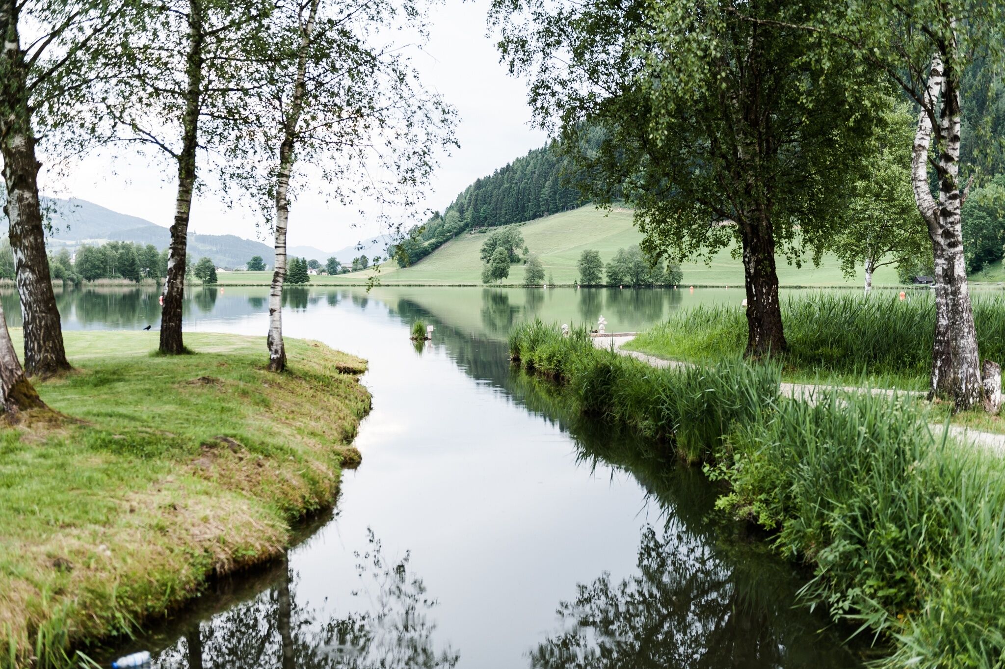
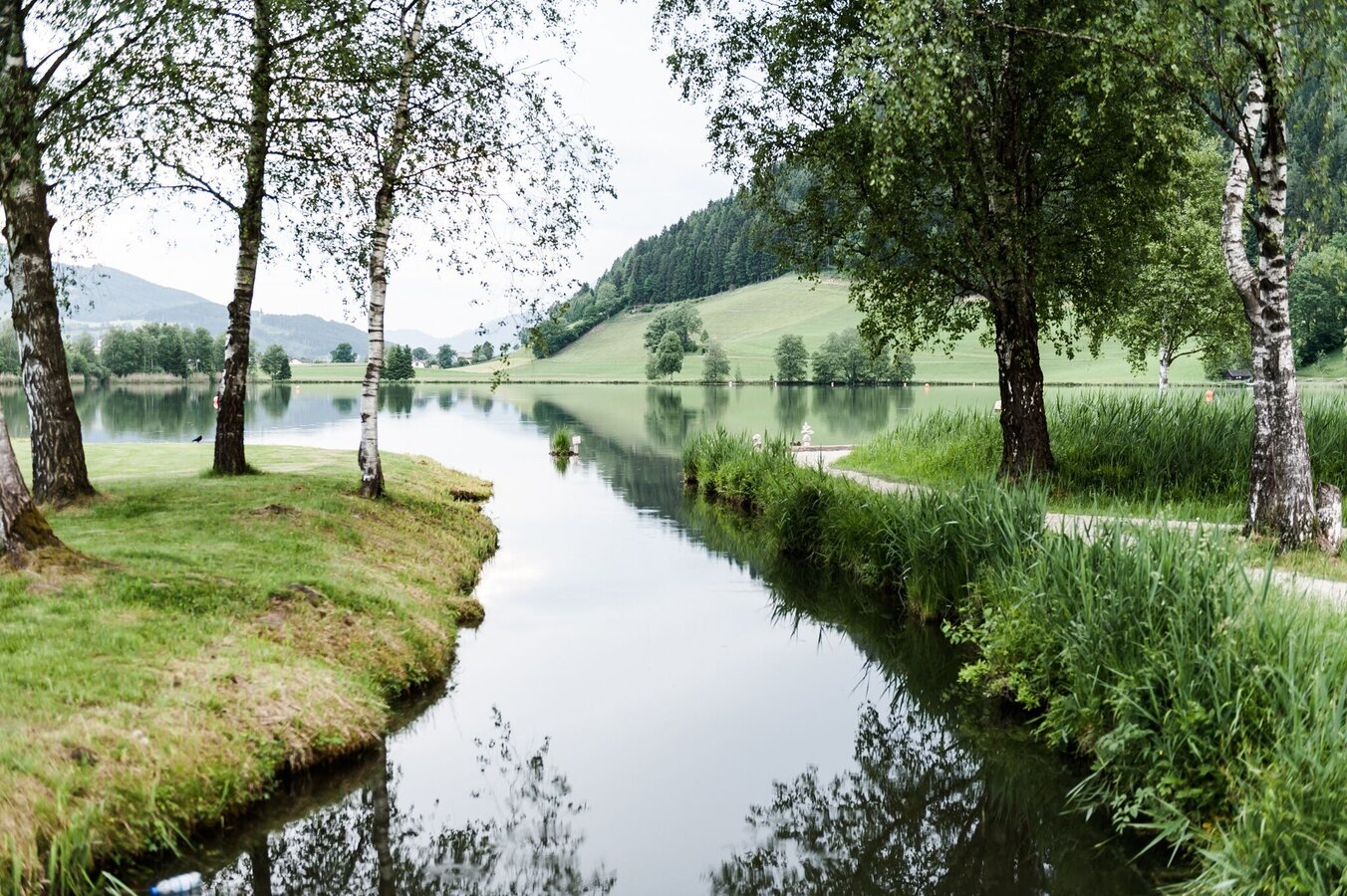
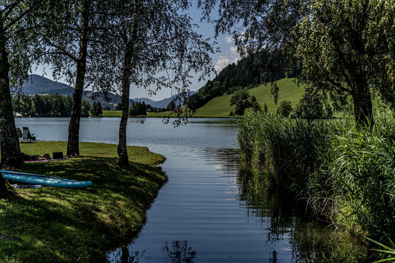
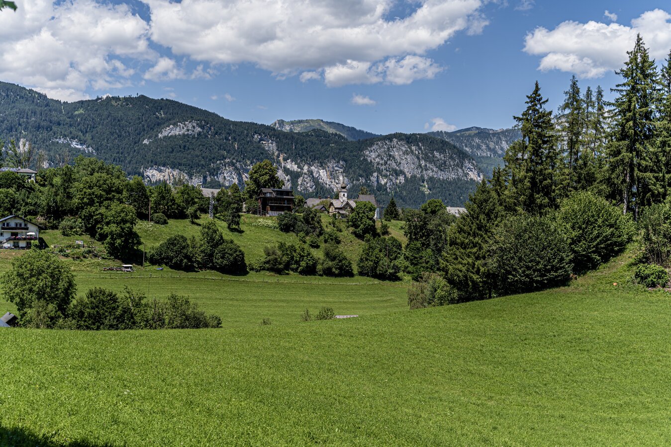
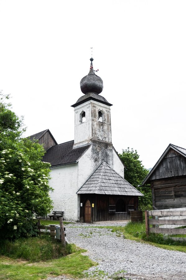
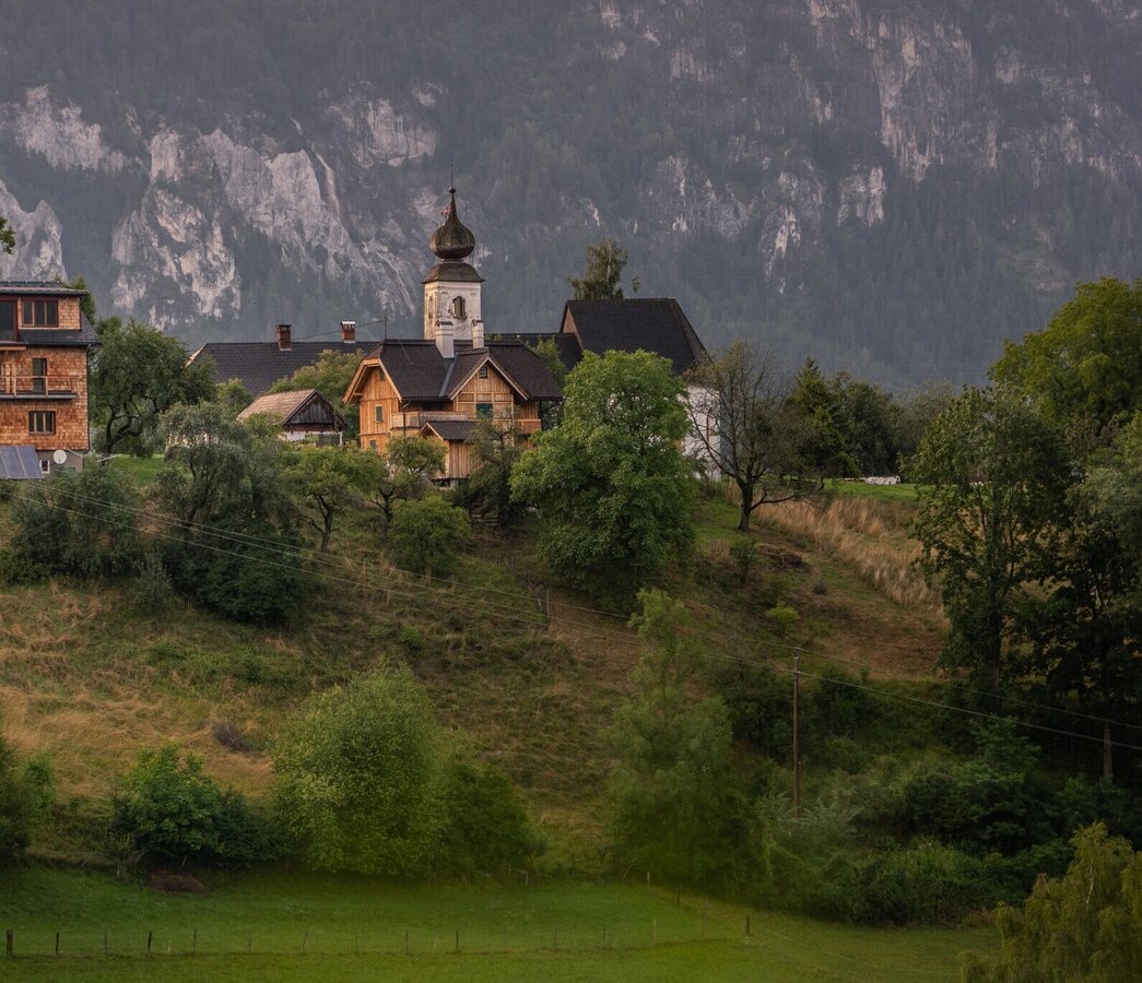
The hike leads along the Putterersee lake and past the campsite to Kulm. After the farm on the right, you continue along the edge of the forest to Hohenberg, with its treasure chest, the Johanneskicherl. Via Sallaberg am See you come back to the starting point.
Way number: 1
Coming from Liezen, turn left in Wörschach and follow the signs to Aigen/Ennstal. In Aigen drive through the village and shortly before the end sign, turn left and park your car at the large gravel parking lot. Coming from Schladming, follow the signs to Irdning/Aigen at the Trautenfels intersection. Free Parking at the tennis court
By train drive to the trainstation ,,Liezen'' or ,,Stainach-Irdning''. And than you can drive with the bus 940 to Aigen im Ennstal.
A simply way for the whole year. Good shoes and clothes.
Visit St. John's Church at Hohenberg with its remarkable winged altar.Tourism information: www.schladming-dachstein.at
Tourism blog: www.derbergdastal.at
Tourist Office Schladming-Dachstein
Ramsauerstrasse 756
8970 Schladming
T: +43 3687 23310
info@schladming-dachstein.at
Garbage on meadows and paths can not smell mountain and valley. Please take it with you. Agriculture and forestry are important partners for Berg und Tal. They allow you to walk and drive on many of their paths. Be aware that only good cooperation will guarantee your recreational enjoyment in the future.
- SCHLADMING-DACHSTEIN Hikemap. Available free of charge at the tourist offices and accommodation establishments.