

Kammkarlspitz 2,248 m - Ski tour
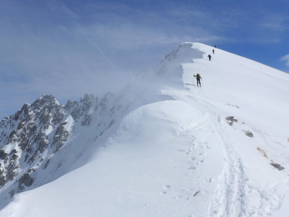
Tour description
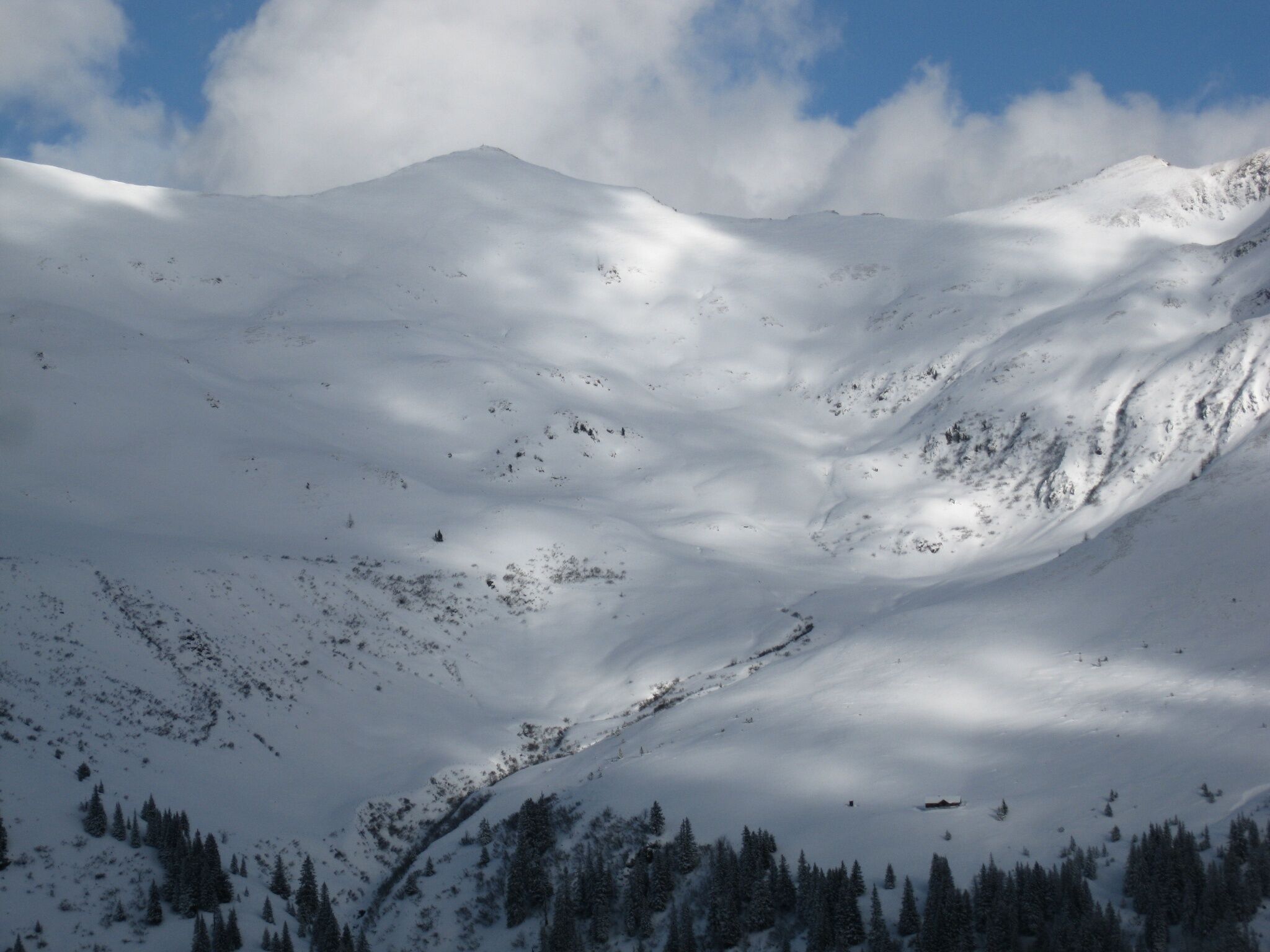
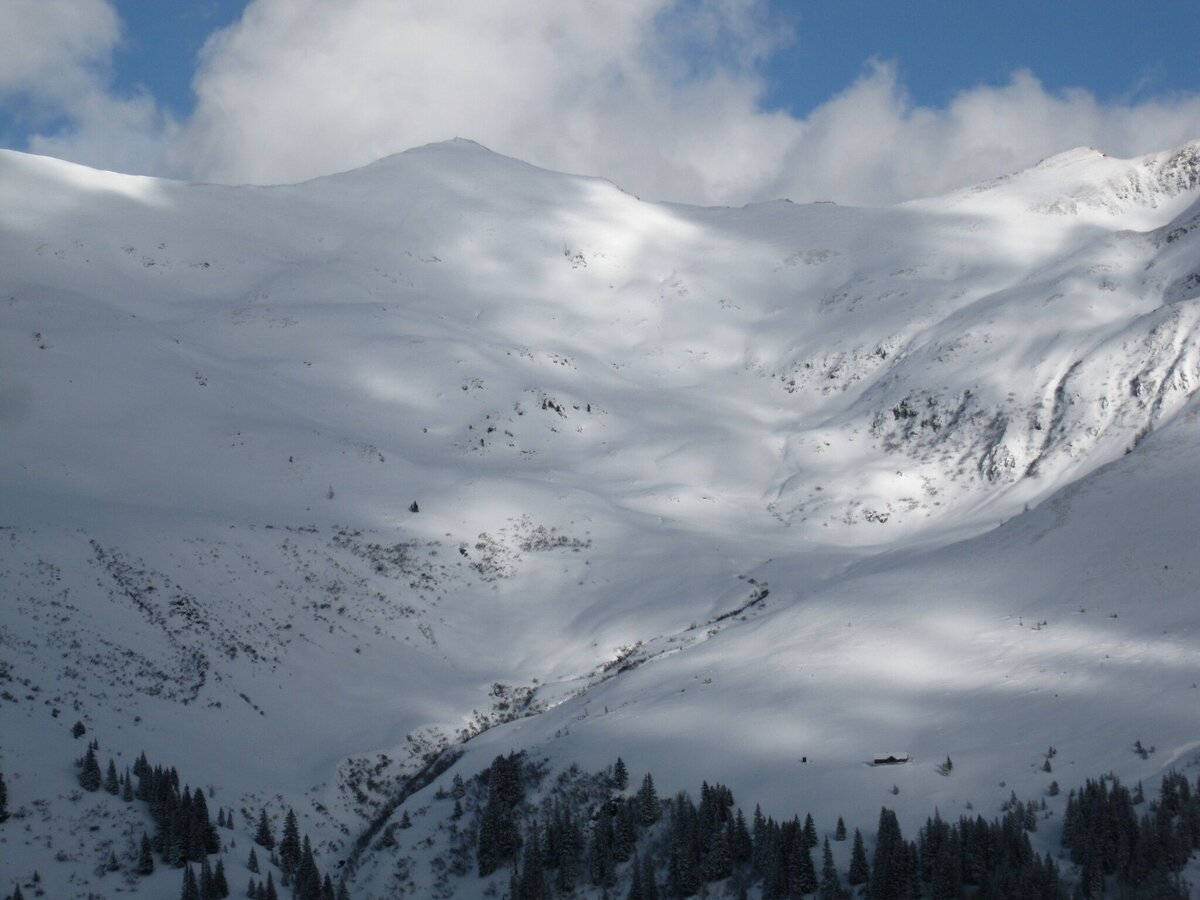
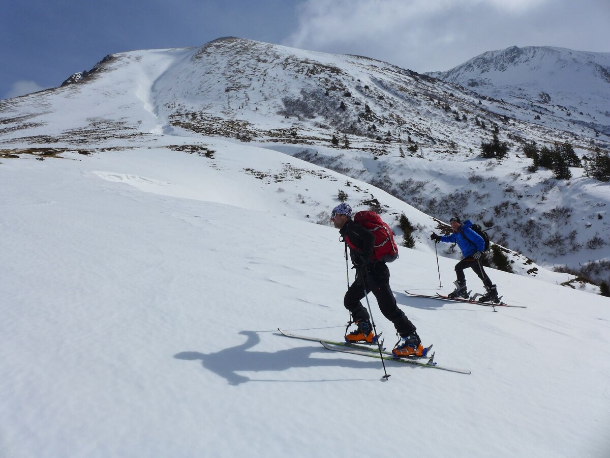
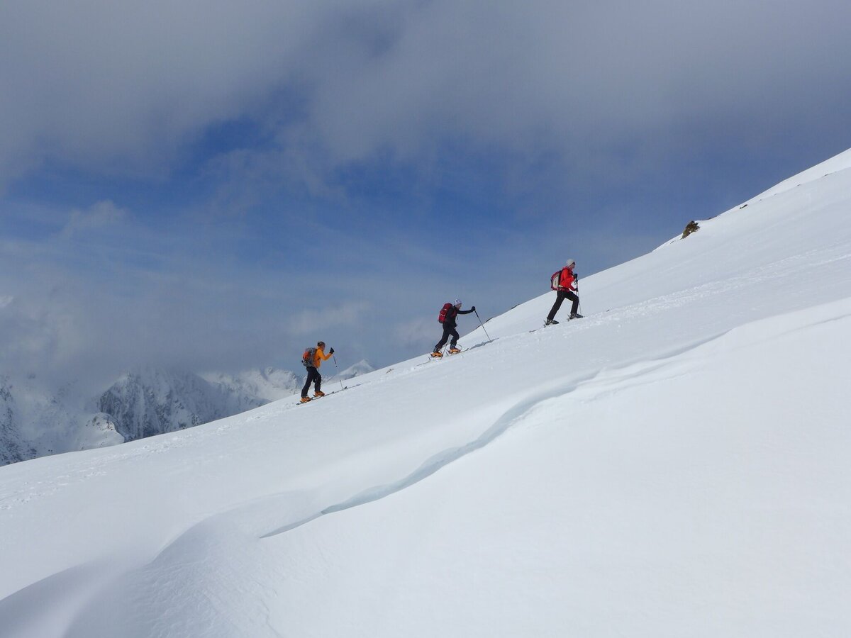
This impressive tour follows the course of the road to the Erzherzog-Johann-Hütte, from where it continues along a path below the hut across a bridge and further along the stream. After passing through a small wooded area, you cross an open space to reach the Mahdfeld. At the hut of the same name, turn northeast towards the next cirque to reach the Kammkarlspitz. Please respect the wildlife protection zones.
The tour
Map, elevation profile & further information
Ascent: Starting from the Hansenalm towards St. Nikolai, follow the road until you reach the Erzherzog-Johann-Hütte. Below the hut, follow the path across the bridge. Then follow the course of the stream. After passing the forest section to the southeast, continue north across the open area up to the Mahdfeld. Pass above the Mahdfeldhütte and continue in a northeasterly direction up to the Kammkarlspitz.
Descent: Same as ascent.
From the A10: at Altenmarkt (exit 63), turn towards Graz. Follow the B99 to Radstadt. Here, take the B320 towards Graz. At Pruggern, follow the signs towards Naturpark.
From the A9: at Selzthal (exit 69), turn towards Liezen/Radstadt. From Liezen, follow the B320 to Espang. There, turn towards Niederöblarn/Naturpark Söltäler.
To the route: In the center of Stein an der Enns, turn towards St. Nikolai and follow the road for approximately 19 km to Hansenalm.
Arrival at Stein/Enns station with ÖBB
Taxi company Mayer: +43 676 60 28 107 or +43 676 54 09 858
Mountain sports and the assessment of the situation on site are subject to personal responsibility. Tourism associations or avalanche warning services do not assume any liability based on the information provided.
- Check the weather and avalanche situation the evening before every ski tour at www.lawine-steiermark.at, avalanche hotline: +43 664 8105928
- Do not undertake a ski tour alone. It's more fun together anyway!
- Always act in a risk-conscious manner and react to signs of danger!
- Observe existing regulations, such as hunting closures and wildlife protection areas, reforestation or young growth areas.
- You should always have your mobile phone well charged. Have you also saved the emergency numbers? Mountain rescue: 140. If you have no reception, take out the SIM card and dial 112.
- Avalanche transceiver, probe and shovel are a prerequisite in open terrain.
- Ski touring equipment consisting of skis/splitboard, skins, poles and possibly ski crampons.
- Provisions, warm drinks, spare clothes and a first aid kit.
- Choose your clothing according to the layering principle.
- Maps and/or tour descriptions. GPX tracks on your mobile phone or GPS device will also help you.
A ski tour that is usually favoured during southerly Föhn winds.
Rent ski touring and safety equipment at: Sport 2000 Mandl in Gröbming
Mountain guides from the region: www.schladming-dachstein.at/bergführer
Further information is available at the Schladming Dachstein Tourism Association - Naturpark Sölktäler Information Office:
Phone: +43 3687 23310 501
info@schladming-dachstein.at
Stein an der Enns 107
8961 Sölk
Sölktäler Ski Touring Folder or Schladming-Dachstein Ski Touring available in all information offices in the region.