Turn-by-turn directions
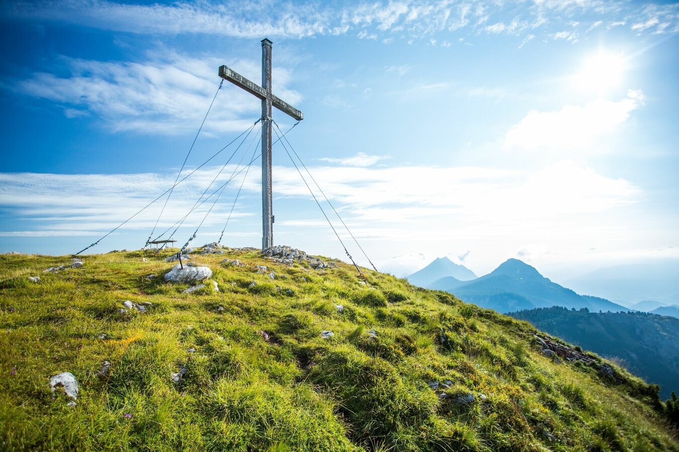
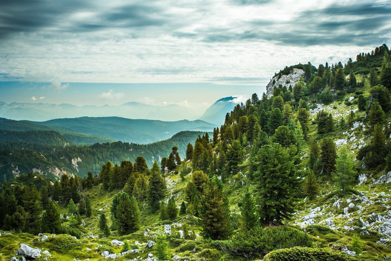
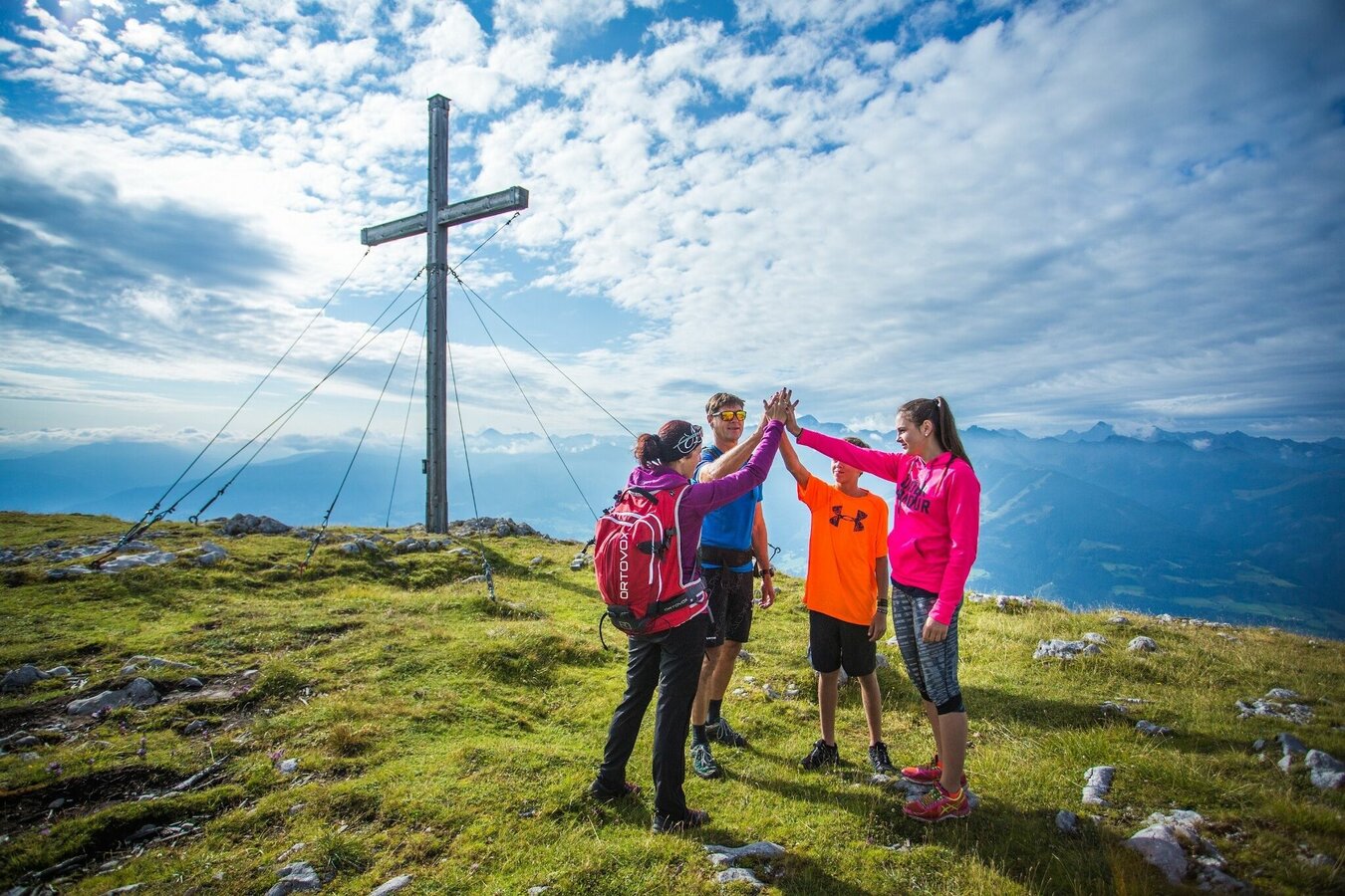
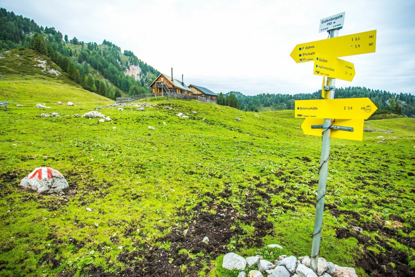
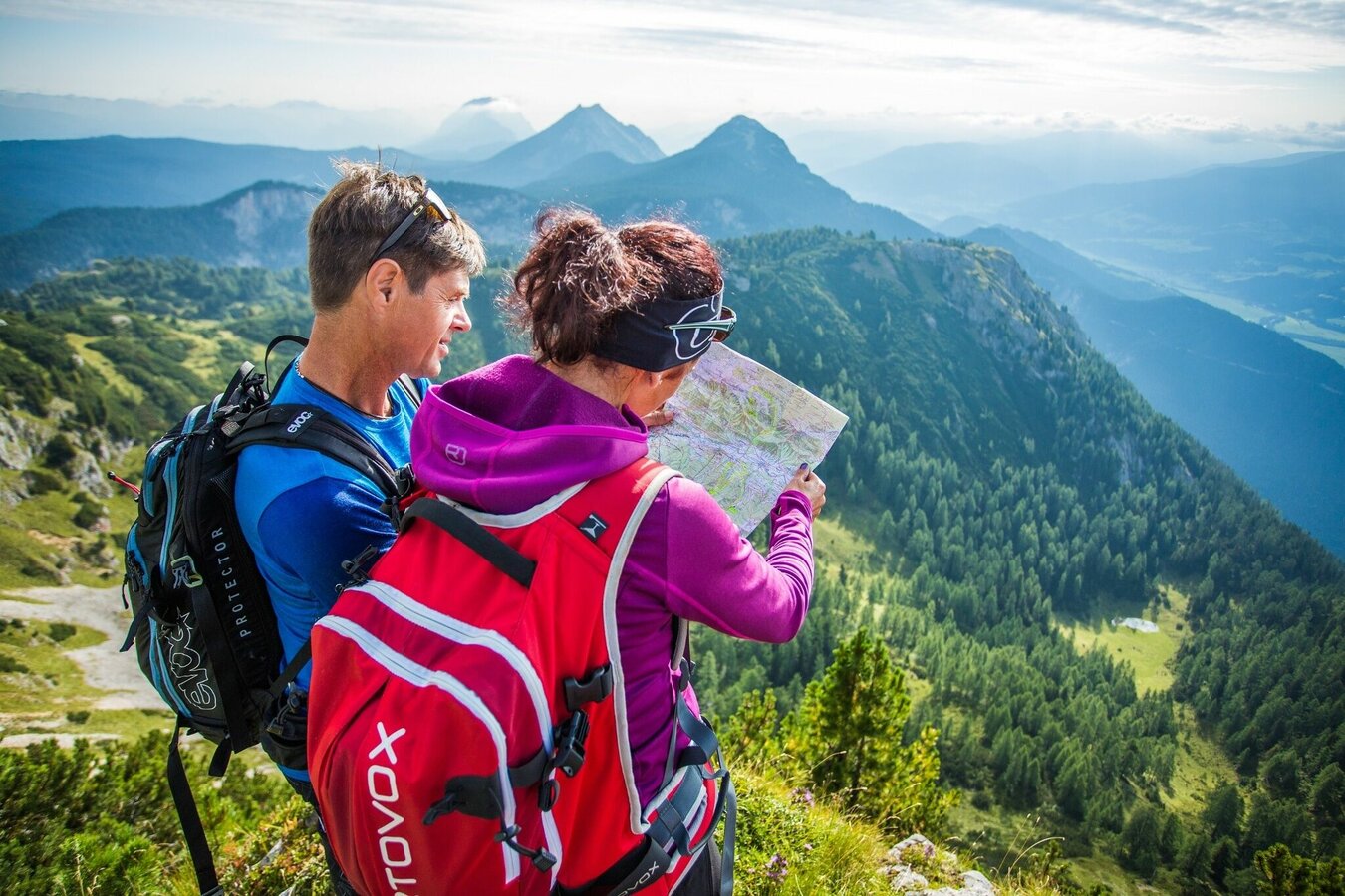
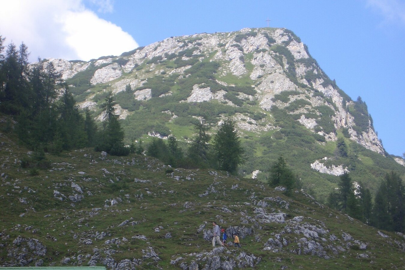
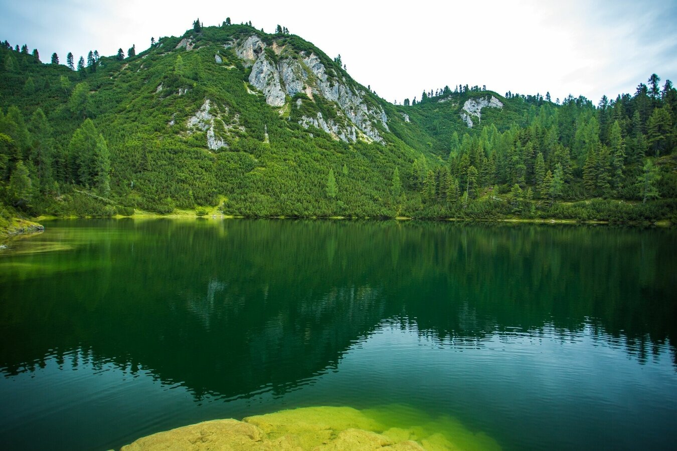
Our hike begins from the Stoderzinken parking lot at the end of the (toll) alpine road in Gröbming. The trail with the number 675 leads us first slightly downhill to the Brünner Hütte, from there we hike through the "Brandner Urwald" (Brandner Primeval Forest) in a westerly direction (trail no. 618). Over a narrow forest path, which first leads steadily downhill and then in a slight up and down through wide depressions, then again over humps and small rocky lanes, we reach the hill above the Ahornsee. In the last quarter we hike very close to the edge of the break-off high above the Grafenbergsee. Over beautiful alpine meadows we reach the alpine basin of the Grafenbergalm. From here we choose trail no. 667 to the highest point of our hike, the Kufstein (2,049 m). Our descent is via the Stornalm. At the Schartl we continue on trail no. 667 and end our hike at the Burgstaller in Ramsau-Rössing.
Getting there
Ennstalbundesstraße (B320) to Gröbming - from there follow the approx. 12 km long toll Stoderzinken Alpenstraße
Unfortunately there is no public transportation available!Arrival by cab is recommended, since the starting point of the hike is not the end point of the hike.
Parking
Parking area at the end of the Stoderzinken Alpenstraße
Start
Stoderzinken car park at the end of the alpine road
Destination
Burgstaller Ramsau Rössing
Equipment
Sturdy shoes, rain gear, hiking sticks
Author’s recommendation
Very beautiful viewpoints and a many-faceted alpine flora, especially at the beginning of summer
Tips, hints and links
Safety information
Safety on the mountainside: changes in the weather, sudden fall in temperature, thunder storms, wind, fog and snow fields are all objective dangers and require the correct behaviour whilst underway. the landlords of the huts are all very knowledgeable about the mountains and can give you good tips about the weather and the routes. Insufficient equipment, exaggerated opinion of ones capabilities, frivolousness, poor health condition and a false evaluation of the situation can lead to a critical situation. In thunder storms: summits, crest-sites and safety rope aids are to be avoided.
If something should happen call following emergency numbers: No. 140 - the number for all Alpine Emergencies in all of Austria No. 112 - European emergency call GSM emergency-call-service
Schladming-Dachstein hiking map