Rittisberg Loop
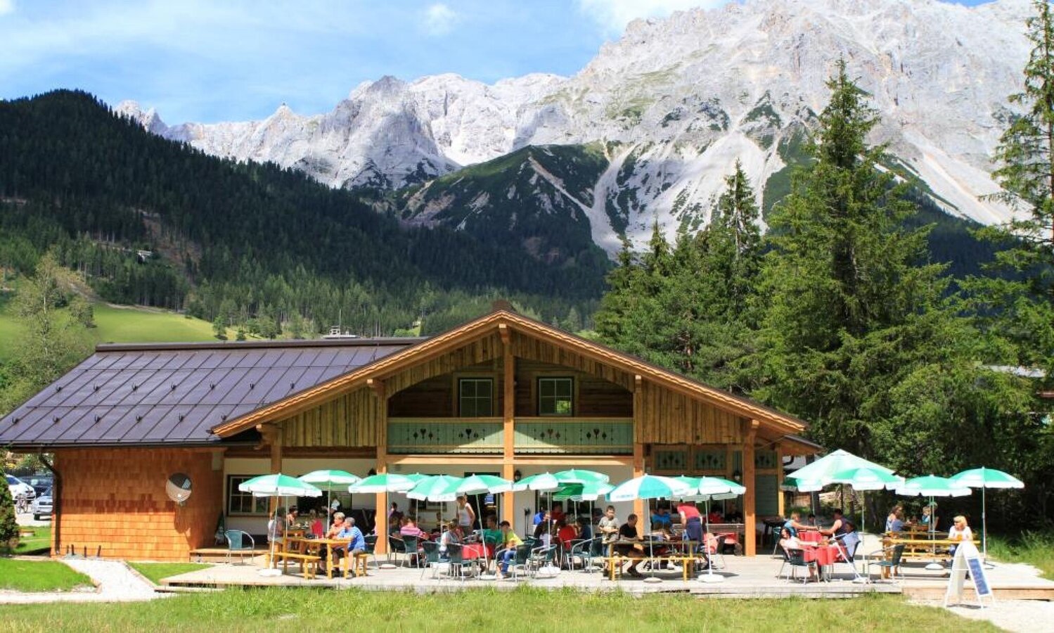
Tour description
The forest-covered mountain Rittisberg is maintained by the forest cooperative though many local farmers own shares of the land.
In winter, the Rittisberg is being used for alpine- and nordic skiing. Rittisloipe is one of the most beautiful and longest cross-country trails within the plateau's 205 km long network.
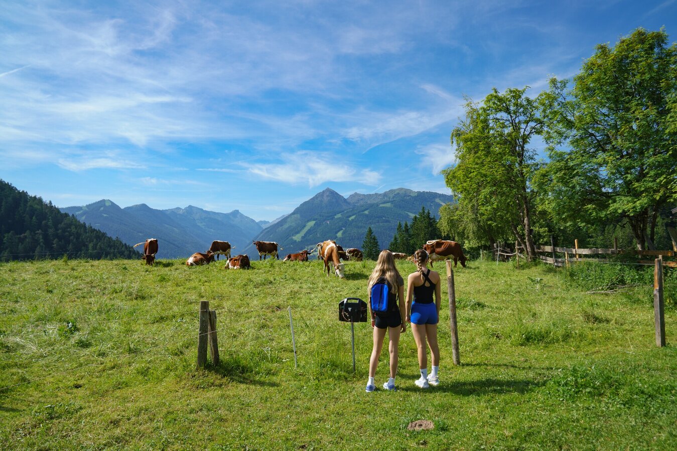
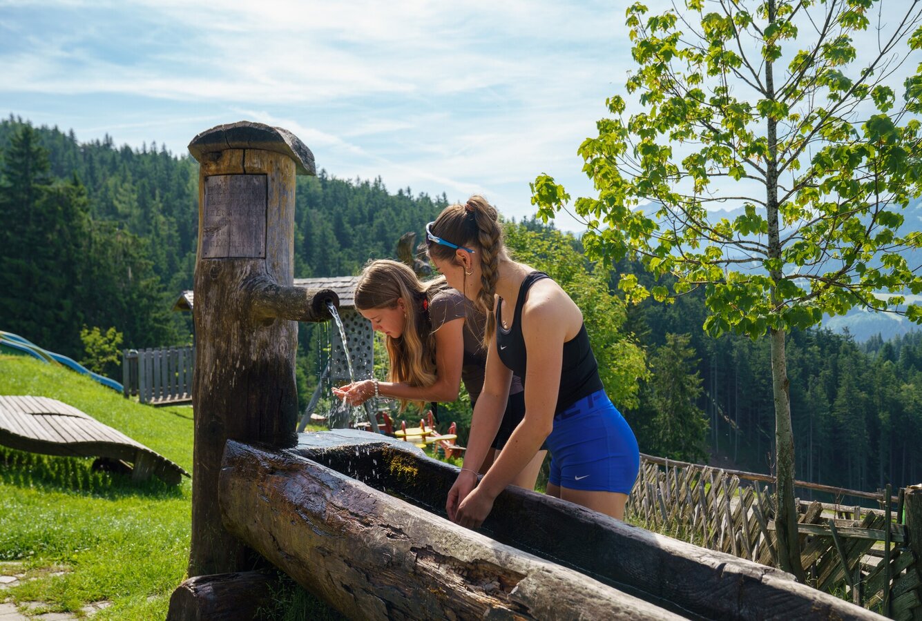
In summer, its forests offer various hiking and refreshment opportunities.
The tour
Map, elevation profile & further information
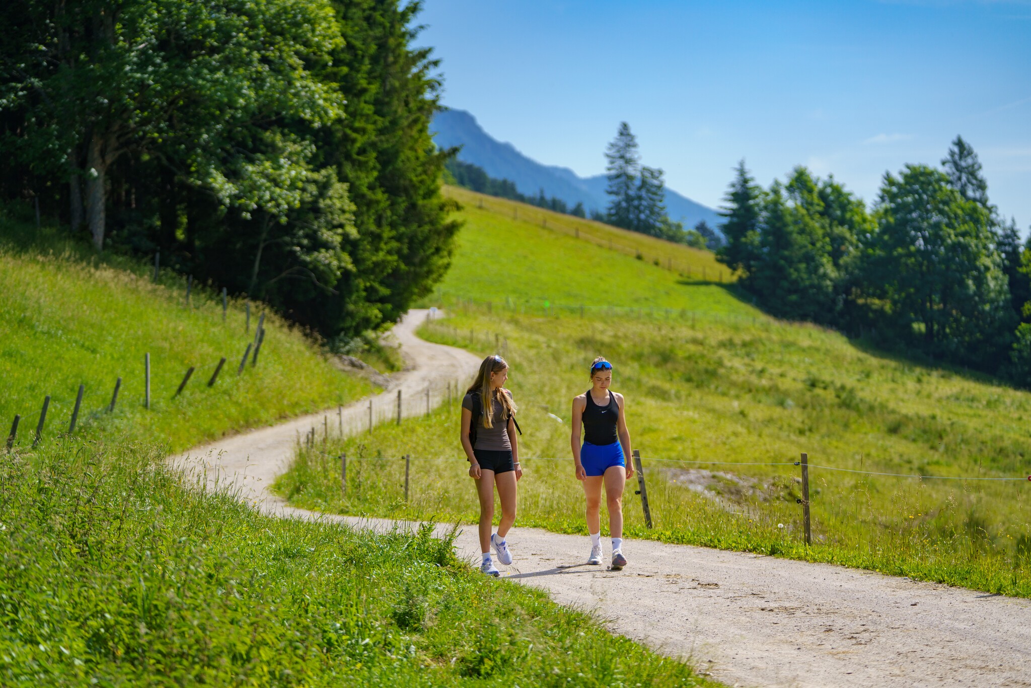
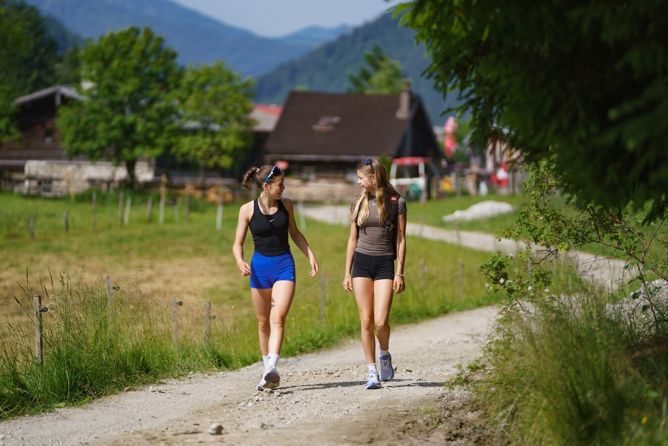
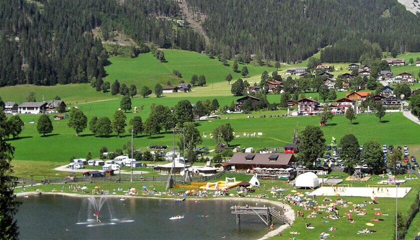
From Ramsau Beach, follow the road to Tischelberger and Greimelbacherhof, where a beautiful forest path will lead you across beautiful meadows to Halseralm.
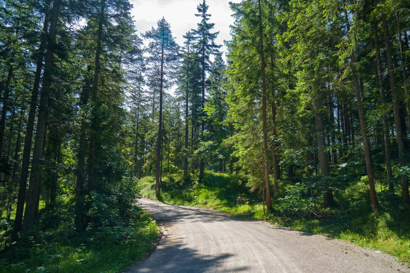
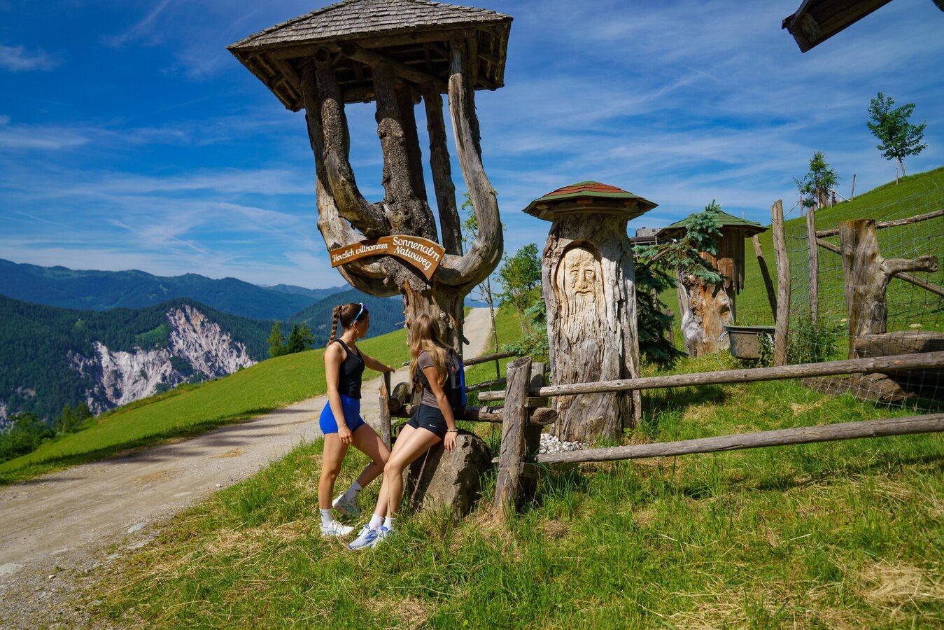
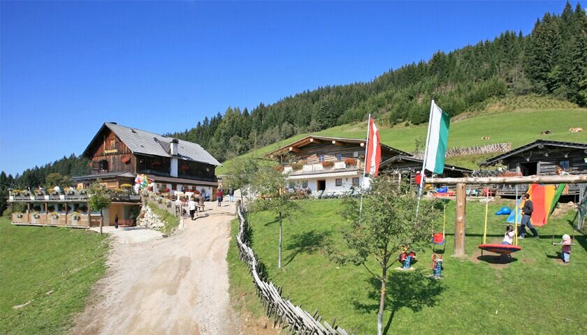
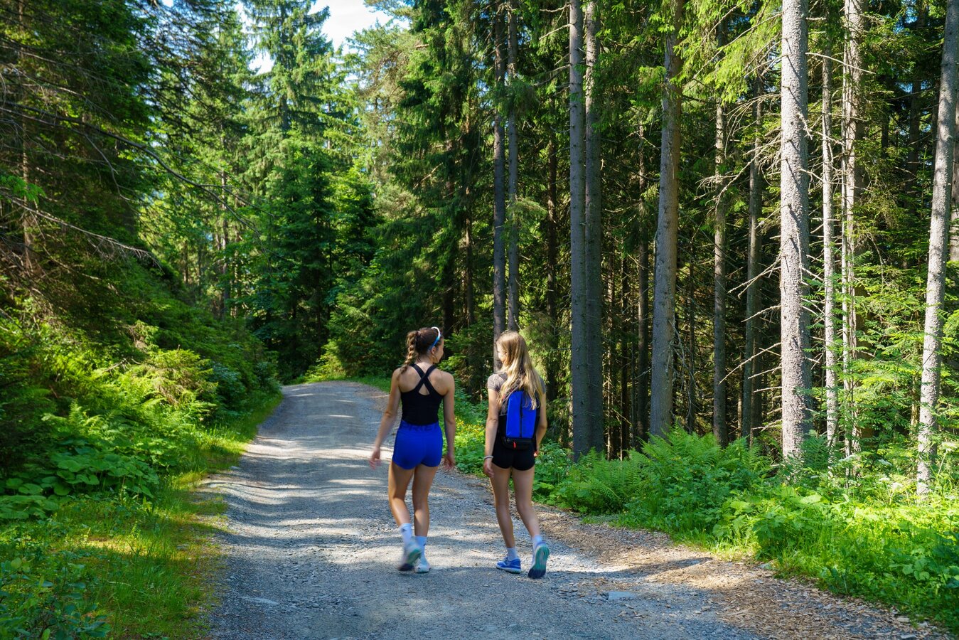
Continue uphill, through the forest to Sonnenalm. For the next 20 min, you will hike along a narrow path which will join a wider forest path. This will take you on a slight descent to Ochesnalm.
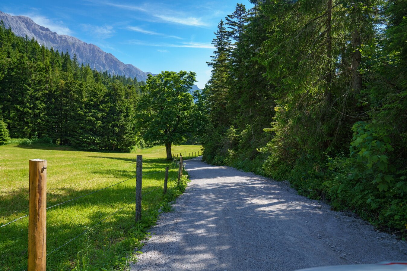
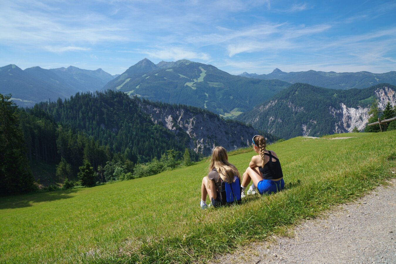
From Ochsenalm, take the forest path to Auwirt and cross the bridge next to the pond and follow the path until you reach the Tannenweg. Stroll along the forest edge and enjoy the beautiful views until you reach your starting point.
Arriving from the west:From the west you can take the Munich-Salzburg motorway, continuing on the Tauern motorway (A 10) until the Ennstal junction. From here take the Ennstal A-road (the B 320) for around 30 km into the Schladming-Dachstein region, then take the Ramsau am Dachstein turn-off.
Arriving from the north:From the south-east take the Pyhrnautobahn motorway (A 9) to the Liezen junction and then the Ennstal A-road (B 320) into the Schladming-Dachstein region. Then take the Ramsau am Dachstein turn-off.
Arriving from the west:From the west you can take the Munich-Salzburg motorway, continuing on the Tauern motorway (A 10) until the Ennstal junction. From here take the Ennstal A-road (the B 320) for around 30 km into the Schladming-Dachstein region, then take the Ramsau am Dachstein turn-off.
Arriving from the north:From the south-east take the Pyhrnautobahn motorway (A 9) to the Liezen junction and then the Ennstal A-road (B 320) into the Schladming-Dachstein region. Then take the Ramsau am Dachstein turn-off.
Parking lot at Ramsau Beach
Bus stop Ramsau Ski-Willy/Rittislift
See the timetables HERE