
Grimming-Donnersbachtal
Ridge Hike - high above the Planneralm - 1.588m
Hiking trail
Data:
Tour description
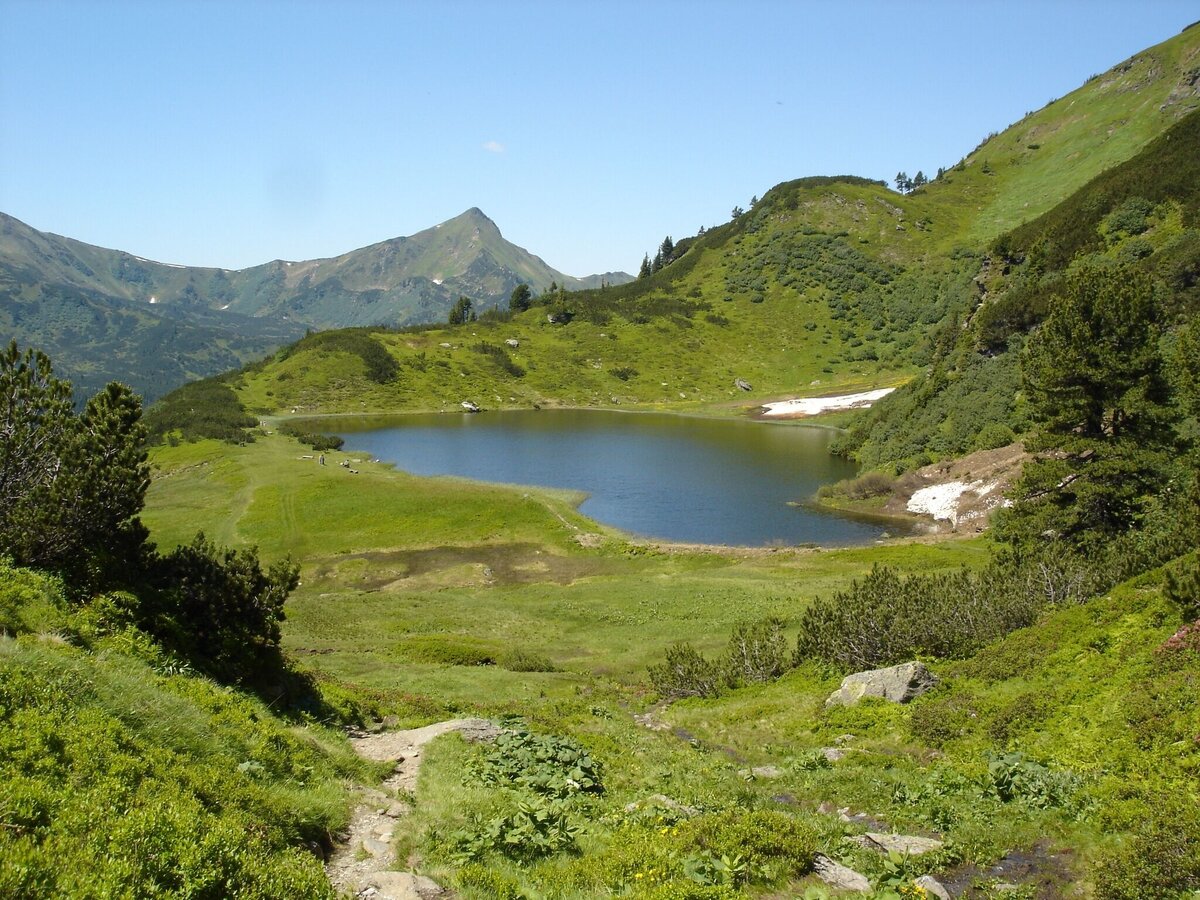
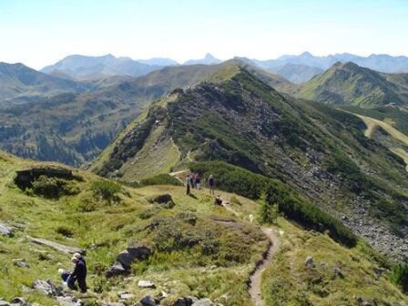
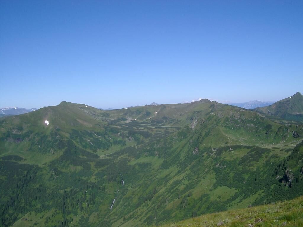
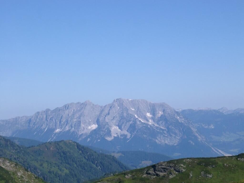
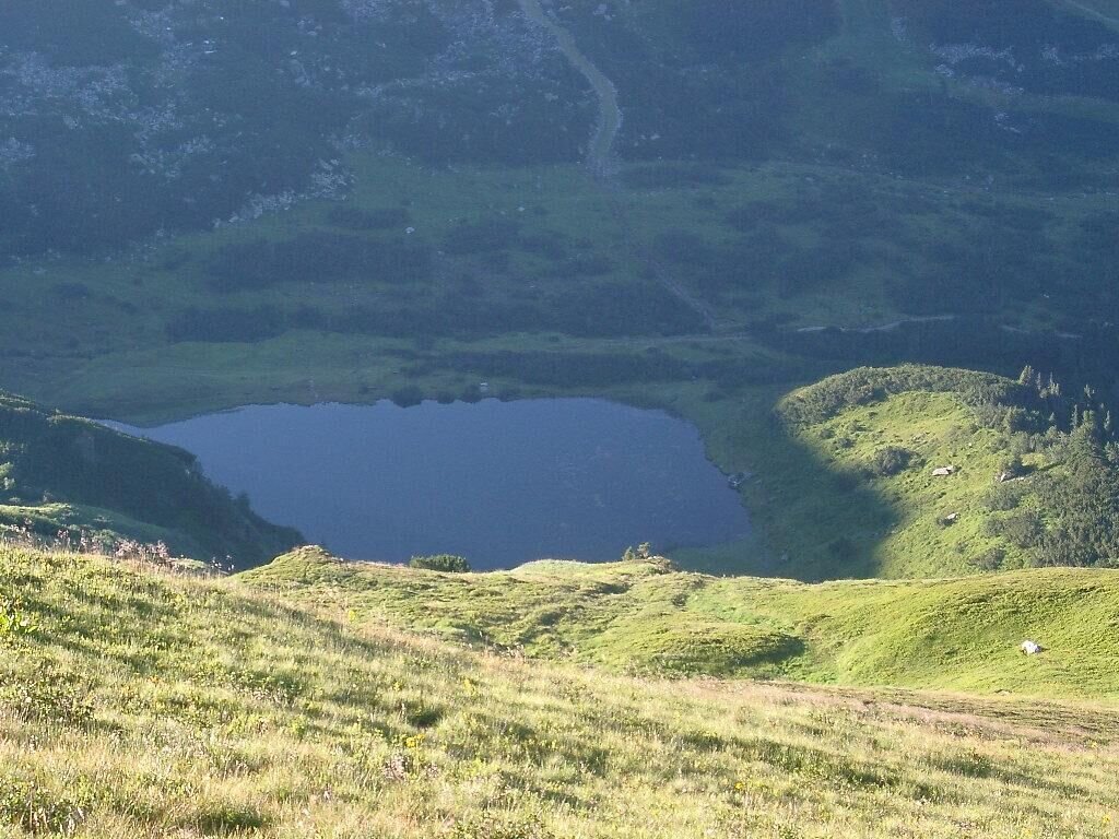
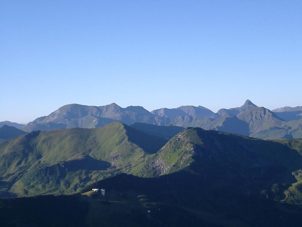
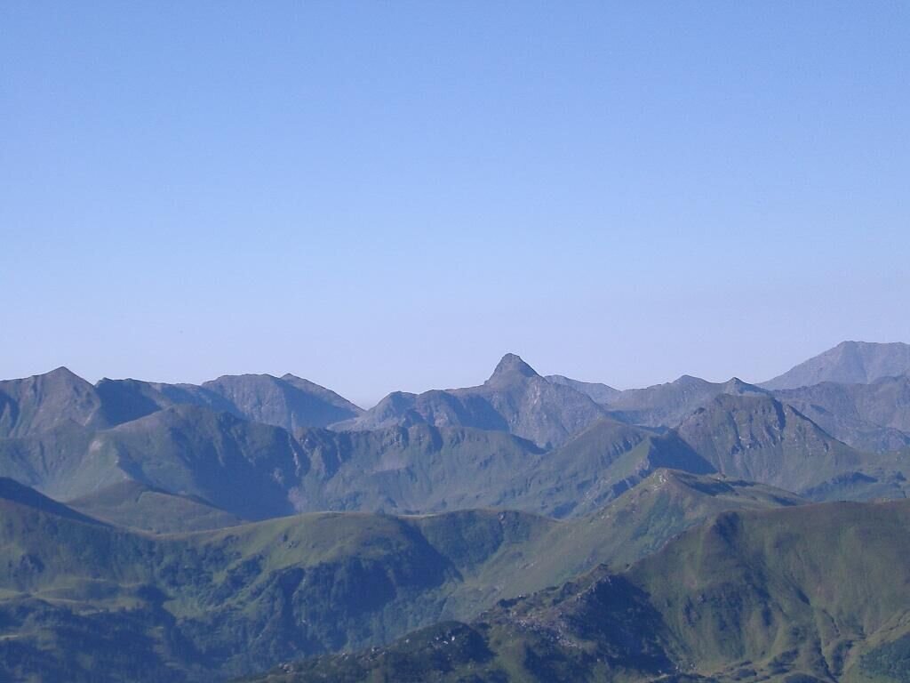
Let`s go. Past the Plannersee and up to the -knot. At the top right you collect along the narrow ridge over Plannereck, Kleiner and Großer Rotbühel to the Jochspitze massive peaks and even more miraculous views. Take this perceived dream with you before it goes down from the Goldbachscharte back to the Planneralm.
The tour
moderate
publicly accessible
Starting and end point
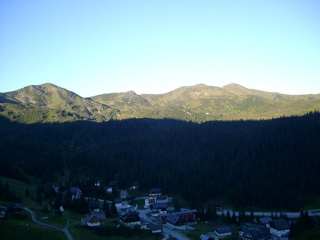
parking area Planneralm
Tour characteristics
Fitness (4/6)
Skills (3/6)
Information
Distance: 8.02 km
Duration:
4 h
Ascent: 660 m
Descent: 660 m
highest point: 2008 m
Best season
Jan
Feb
Mar
Apr
May
Jun
Jul
Aug
Sep
Oct
Nov
Dec
Map, elevation profile & further information
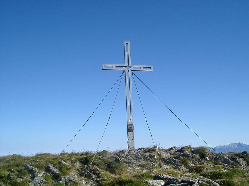
From the mountain rescue house on trail 940 to Plannersee to the start of the ridge at Plannerknot (1996 meters). Turn right on path 14 and walk along the rocky ridge in a southerly direction without any major difficulties. Continue along the path to Plannereck and from there along the ridge above the Plannerkessel to the Kleine and Große Rotbühel. At the crossroads the ridge turns to the west and via an even narrower path you hike over the Gläserkoppe to the last peak of this tour, the Jochspitze (2037 meters). From there you go downhill to the Goldbachscharte and follow the markings through the watery cirque to the Planneralm.
Coming from the B320, at the crossing Trautenfels follow the signs to Irdning. Then head towards Donnersbach. In the village, turn left towards Planneralm and follow the 12 km long toll-free mountain road.Large, free parking area directly at the Planneralm.
Unfortunately there is no public transport to the Planneralm in summer.
To put in your weatherproof backpack: Protection against sun and rain, as well as warm, windproof clothing, drinks and food, a small first aid kit, a hiking map and a fully charged mobile phone. Proper shoes are are essential of course.
- Plan your tour in advance, taking into account walking time, route length, altitude difference, dangerous spots and weather forecast.
- The Alpenverein will provide you with detailed information on "safe mountain hiking". At www.alpenverein.at you can find detailed information about it.
- Together many things are more pleasurable and in the mountains safer at the same time. Don't do hikes alone, if possible, and adapt the tour to the individual fitness of your group.
- Let people know where you are going and by when you intend to be back. Also make sure to write your name in hut or summit books.
- If the weather gets worse, you should turn back in time. If you get caught in a thunderstorm, do not stay on the summit or ridge and keep away from single trees. Wait, if possible in a crouching position, to be safe during the thunderstorm.
- Stay on the clearly marked paths and remember to close pasture fences when you pass them on your way.
- The way up is only half the way. Stay attentive, especially when going downhill, to safely get back down to the valley.
- In case of an emergency, keep calm and call the mountain rescue service under 140. If you have no cell phone signal, take out your sim card and dial 112.
- If you meet cows: Walk above the herd at least 50 meters away. Stay calm, don't make hectic movements and don't run away. Do not imitate cow sounds and try not to stroke the animals. With a stick and loud calls, the animals can often be turned around in an emergency.
- If you are a dog owner: Clarify already before the hike whether you have to cross grazing areas. Keep your dog on a leash and make sure that he keeps calm. Let the dog off the leash immediately in case of a cow attack. Never pick him up to defend him.
When walking the tightrope, draw from the full and take in all the impressions. It's amazing what a potpourri of natural beauty you will encounter here. Let yourself be delighted.Tourism information: www.schladming-dachstein.at
Tourist Office Schladming-Dachstein
Ramsauerstrasse 756
8970 Schladming
T: +43 3687 23310
info@schladming-dachstein.at
- SCHLADMING-DACHSTEIN Hiking EAST. Available free of charge from tourist offices and accommodation providers.
- SCHLADMING-DACHSTEIN hiking map
- KOMPASS hiking map no. 68, Ausseerland-Ennstal
- PLANNERALM summer leisure map


