


Grimming-Donnersbachtal
Via Plannersee and Plannerknot to the Hochrettelstein
Hiking trail
Data:
Tour description
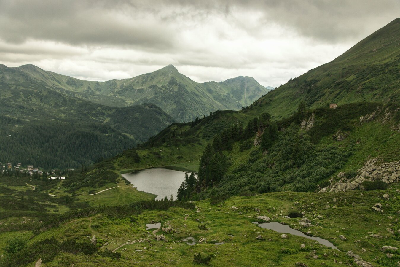
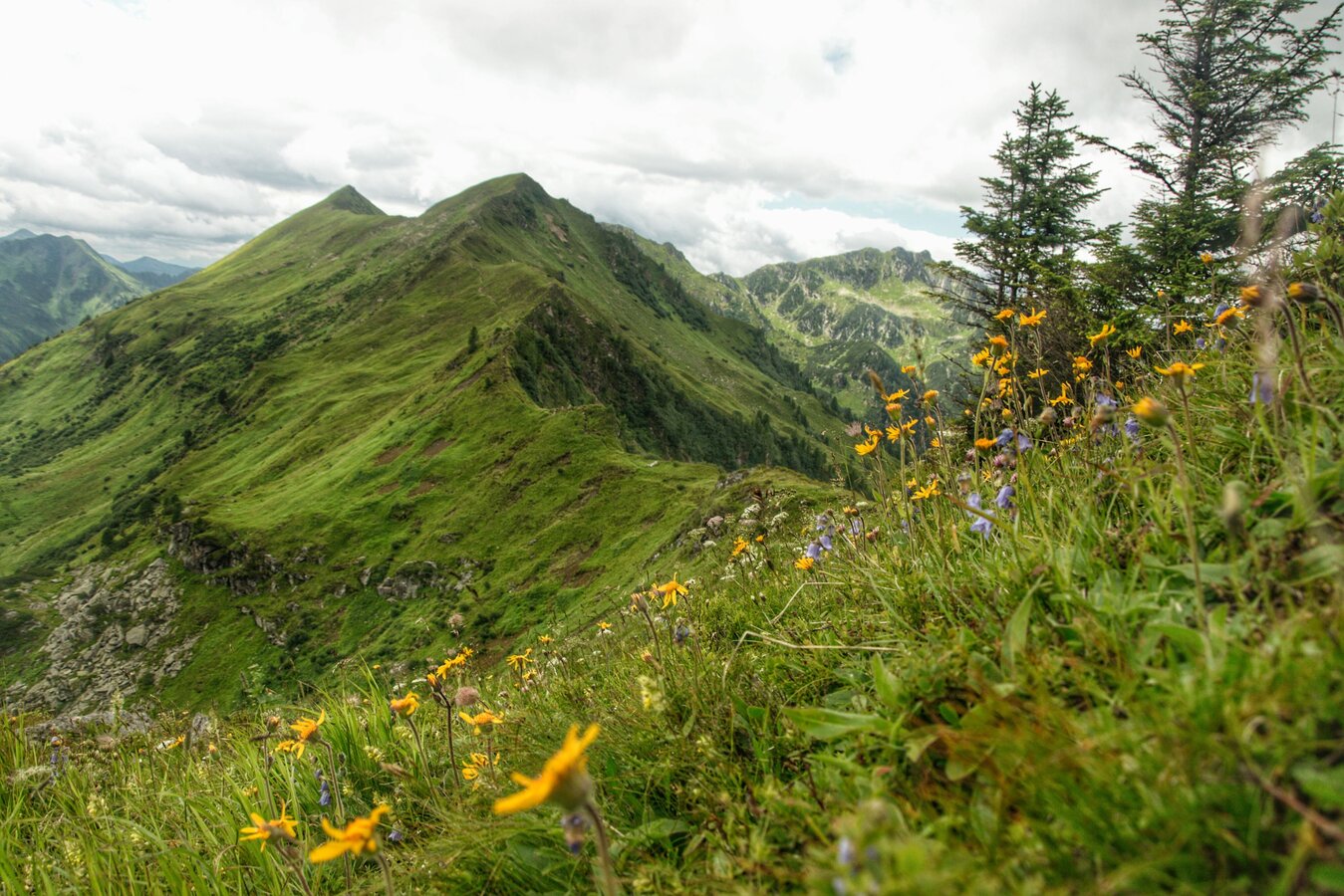
Medium-difficulty hike over the idyllic Plannersee and the panoramic Plannerknot along the ridge to the summit of the Hochrettelstein. This tour is a real treat at any time of year. Further hiking possibilities to the Seekoppe, the Riednerseen to Oppenberg.
The tour
moderate
Starting and end point
Planneralm
Tour characteristics
Distance: 7.9 km
Fitness (3/6)
Skills (3/6)
Information
Distance: 7.9 km
Duration:
3:30 h
Ascent: 640 m
Descent: 640 m
highest point: 2220 m
Best season
Jan
Feb
Mar
Apr
May
Jun
Jul
Aug
Sep
Oct
Nov
Dec
Map, elevation profile & further information
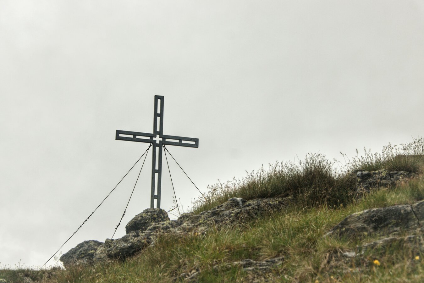
From the mountain rescue centre the path leads directly up to the Plannersee. Afterwards there is an approx. 40-minute ascent on a trail to the Plannerknot (1996 m). From there, continue in a northerly direction below the ridge to a saddle. From here there is a somewhat steeper ascent to the Hochrettelstein. At the summit there is a wonderful panorama - a perfect backdrop for the well-deserved summit snack! The descent back to the starting point follows the same path.
Coming from the B320, at the crossing Trautenfels in direction Irdning. Then in the direction of Donnersbach. In the village turn left towards Planneralm and follow the 12 km long toll-free mountain road.Free parking directly in the mountain village Planneralm.
There is no public transport to the Planneralm.
Taxi Ennstal, Tel +43 660 6633666
To put in your weatherproof backpack: Protection against sun and rain, as well as warm, windproof clothing, drinks and food, a small first aid kit, a hiking map and a fully charged mobile phone. Proper shoes are are essential of course.
- Plan your tour in advance, taking into account walking time, route length, altitude difference, dangerous spots and weather forecast.
- The Alpenverein will provide you with detailed information on "safe mountain hiking". At www.alpenverein.at you can find detailed information about it.
- Together many things are more pleasurable and in the mountains safer at the same time. Don't do hikes alone, if possible, and adapt the tour to the individual fitness of your group.
- Let people know where you are going and by when you intend to be back.
- Also make sure to write your name in hut or summit books.
- If the weather gets worse, you should turn back in time. If you get caught in a thunderstorm, do not stay on the summit or ridge and keep away from single trees. Wait, if possible in a crouching position, to be safe during the thunderstorm.
- Stay on the clearly marked paths and remember to close pasture fences when you pass them on your way.
- The way up is only half the way. Stay attentive, especially when going downhill, to safely get back down to the valley.
- In case of an emergency, keep calm and call the mountain rescue service under 140. If you have no cell phone signal, take out your sim card and dial 112.
- If you meet cows: Walk above the herd at least 50 meters away. Stay calm, don't make hectic movements and don't run away. Do not imitate cow sounds and try not to stroke the animals. With a stick and loud calls, the animals can often be turned around in an emergency.
- If you are a dog owner: Clarify already before the hike whether you have to cross grazing areas. Keep your dog on a leash and make sure that he keeps calm. Let the dog off the leash immediately in case of a cow attack. Never pick him up to defend him.
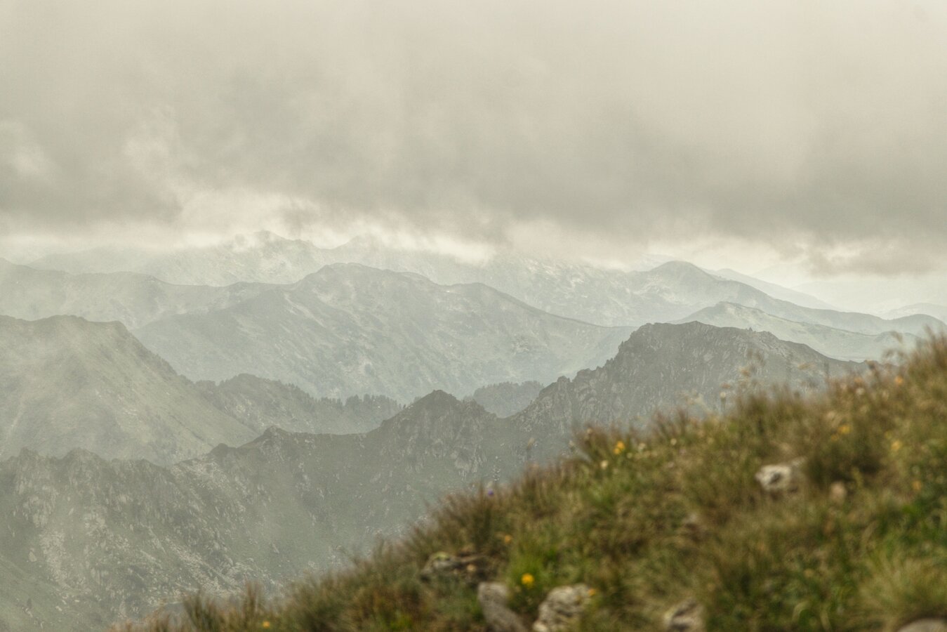
On a clear day, you can see as far as the Lachtal valley to the windmills. The alpine flora is especially beautiful there.
Tourism information: www.schladming-dachstein.at
Tourist Office Schladming-Dachstein
Ramsauerstrasse 756
8970 Schladming
T: +43 3687 23310
info@schladming-dachstein.at
- SCHLADMING-DACHSTEIN Hiking EAST. Available free of charge from tourist offices and accommodation providers.
- SCHLADMING-DACHSTEIN hiking map
- KOMPASS hiking map no. 68, Ausseerland-Ennstal
- PLANNERALM summer leisure map


