
Ore Trail
Tour description
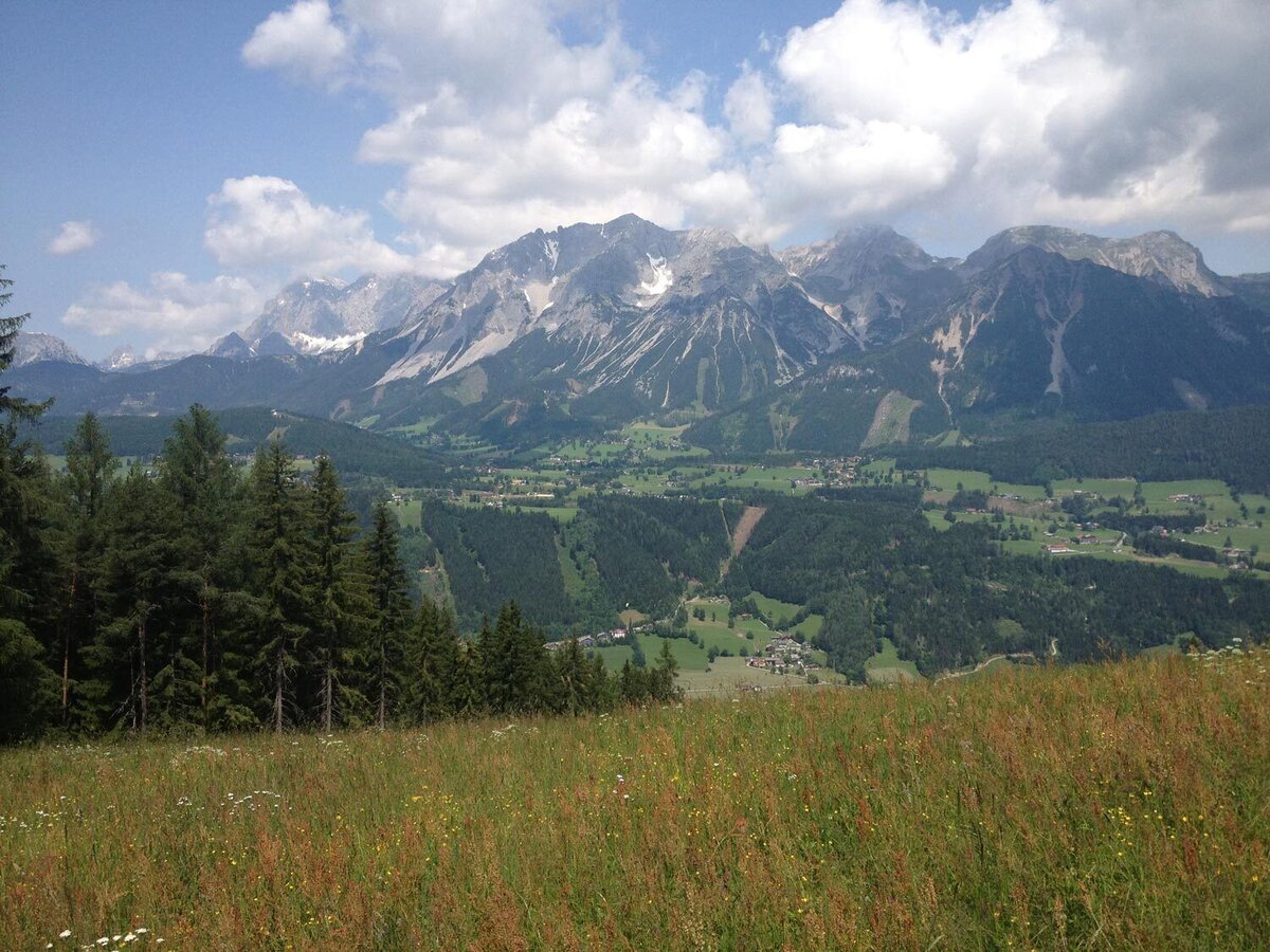
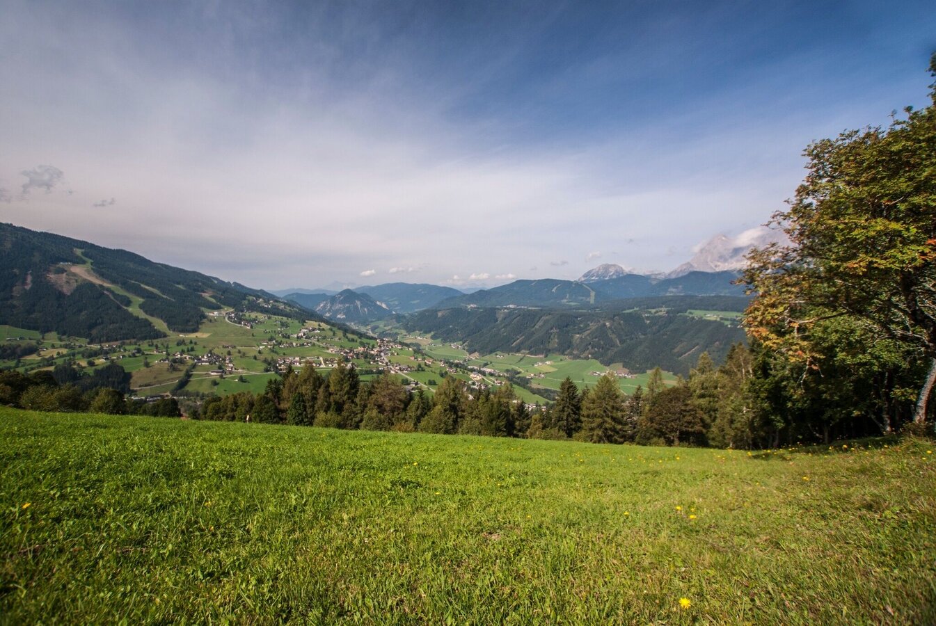
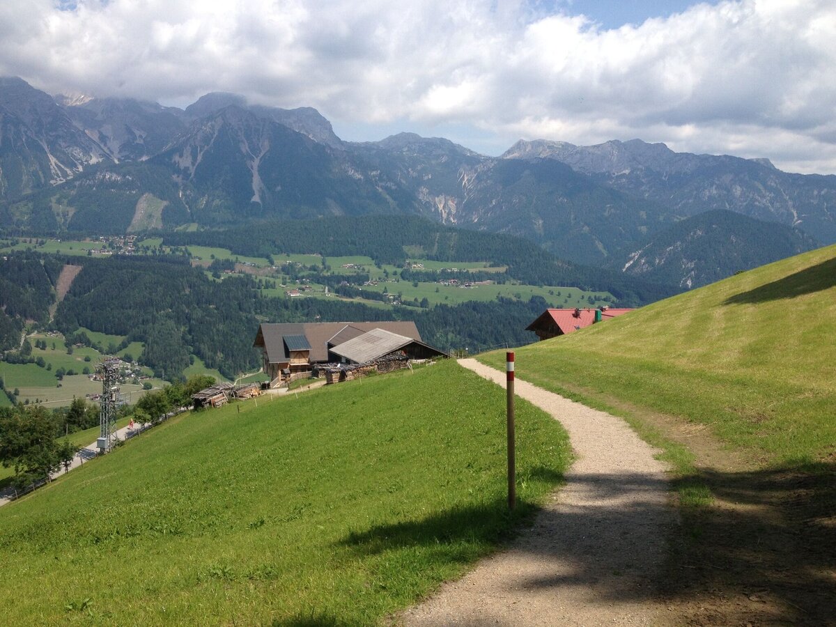
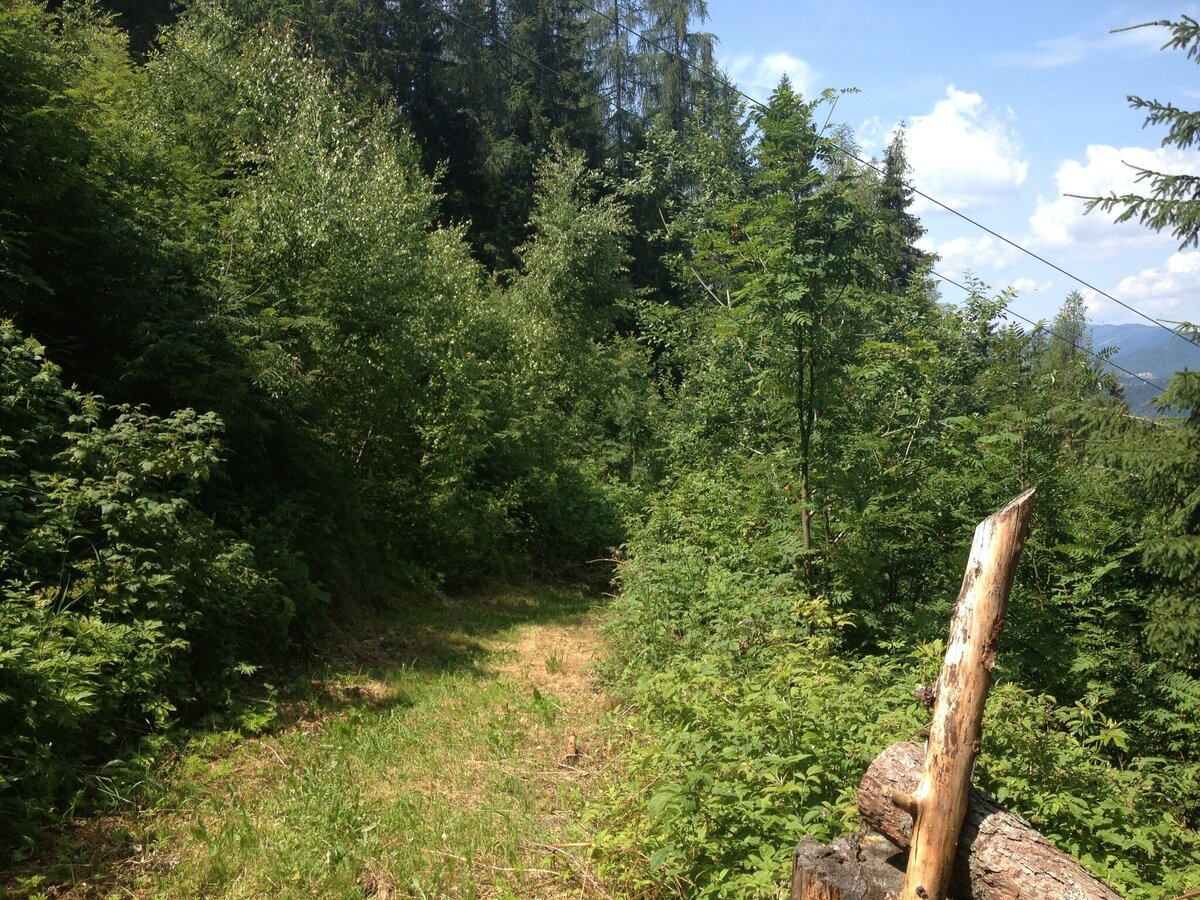
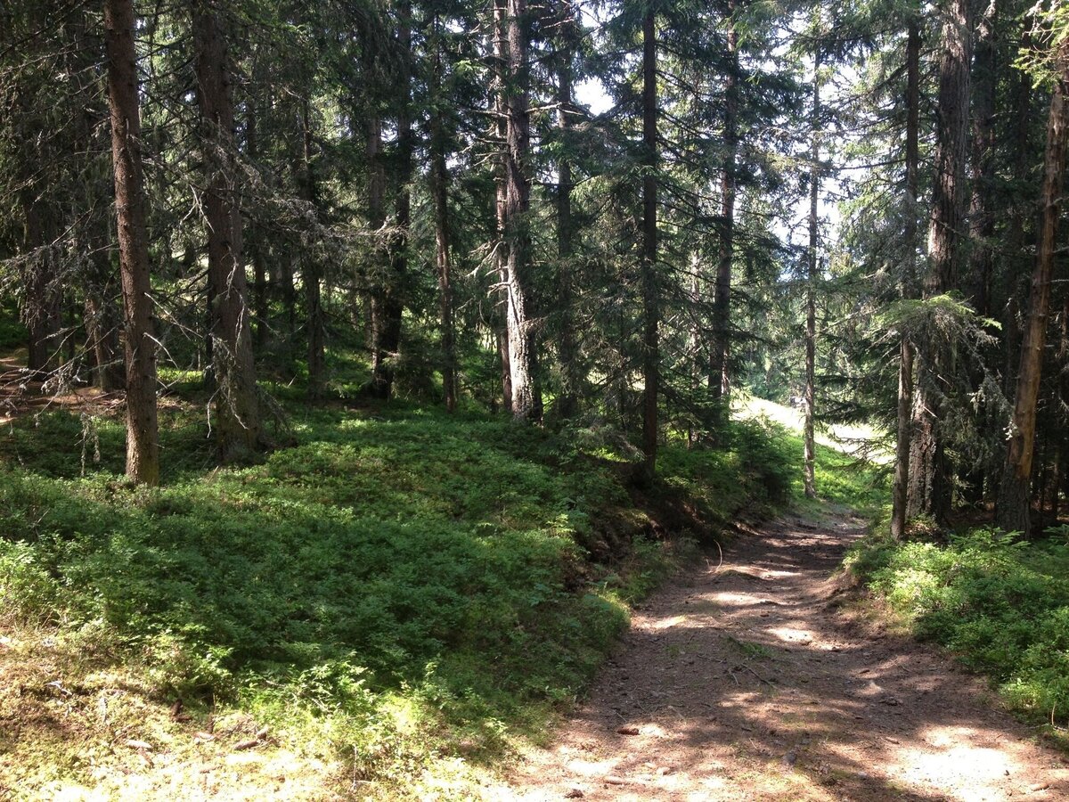
The Erzwegrunde is ideal for an evening walk, as the altitude means you can enjoy the sun in the mountains all the longer. The hiking trail is at an altitude of between 1,050 and 1,350 metres above sea level and offers a magnificent view of the Ramsau plateau and the Dachstein massif to the north.
The Erzweg owes its name to the silver-bearing copper ore deposits, which were mined on the Krahbergzinken from the 17th century and transported to Schladming via a separate ore trail. The chalcopyrite, accompanied by zinc blende, is embedded in thin layers in the surrounding rock (sericite quartzite). The tunnel installations are collapsed and can no longer be travelled on. The huge mining dumps show the once great importance of this mining district.
The tour
Map, elevation profile & further information
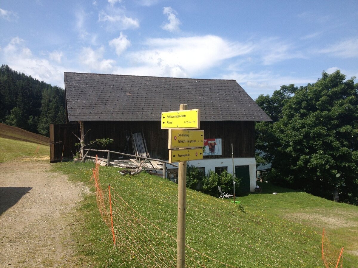
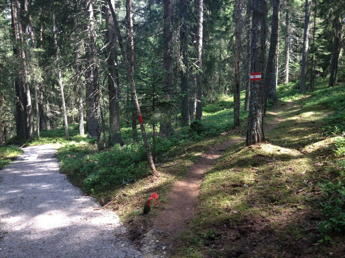
GPS data and orienteering
Available GPS data - just like hiking maps - is only a guidance for orientation and can never depict a trail exactly with all its details. Especially at dangerous spots it is essential to judge on site how to proceed.
In an emergency please call:
- 140 - for Alpine emergencies (all over Austria)
- 112 - European GSM emergency number
- Hiking map ‘Hiking WEST’ available at the information offices in the region.
- Schladming hiking map, 1:25,000, available at the Schladming information office.
- Hiking map Schladming-Dachstein, 1:50,000, available at the information offices in the region.
- Hiking guide Schladming-Dachstein by Herbert Raffalt, available at the information offices in the region.


