Grubegg Trail
Tour description
The tour
Map, elevation profile & further information
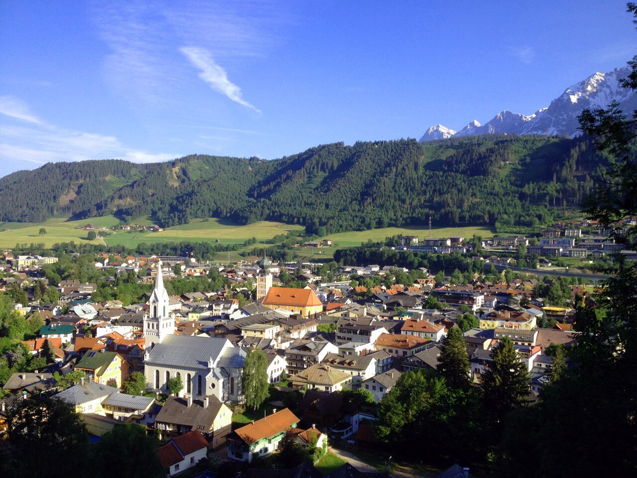
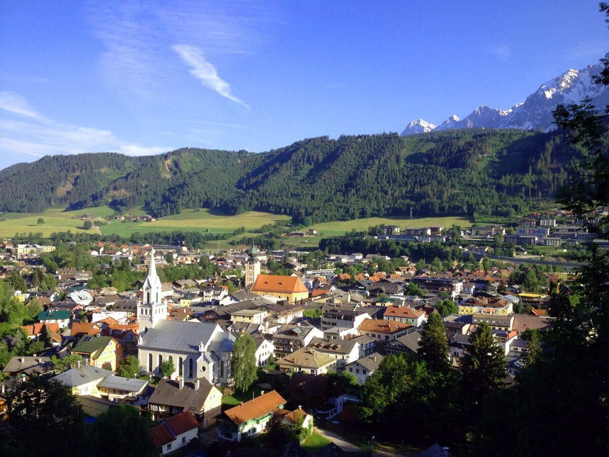
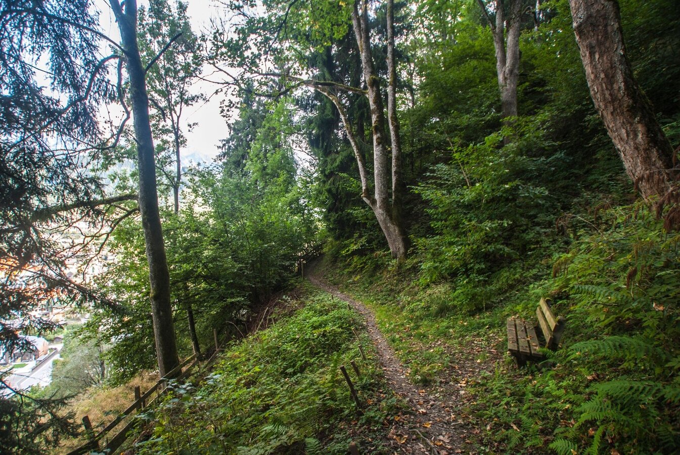
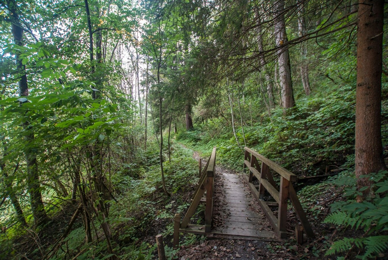
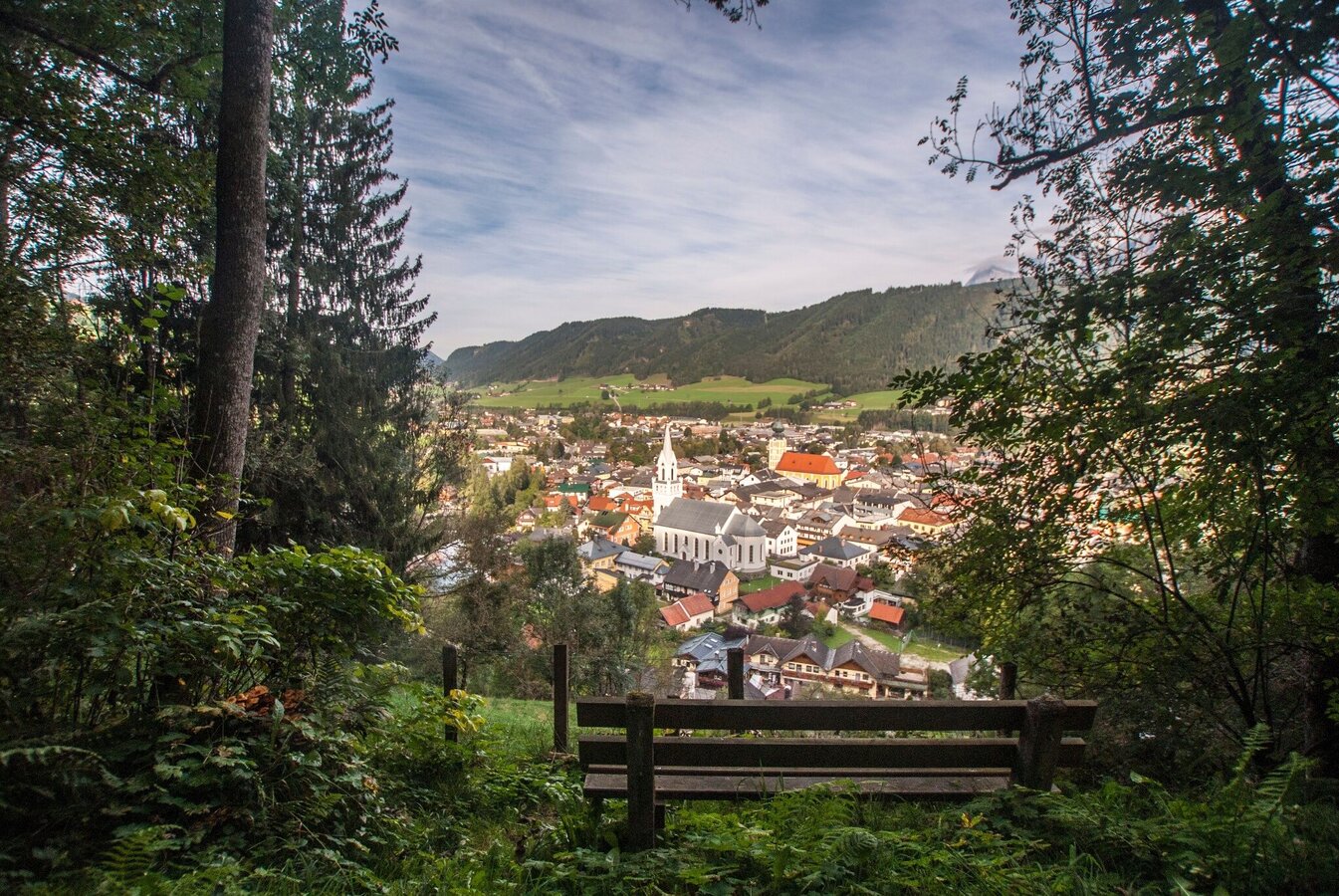
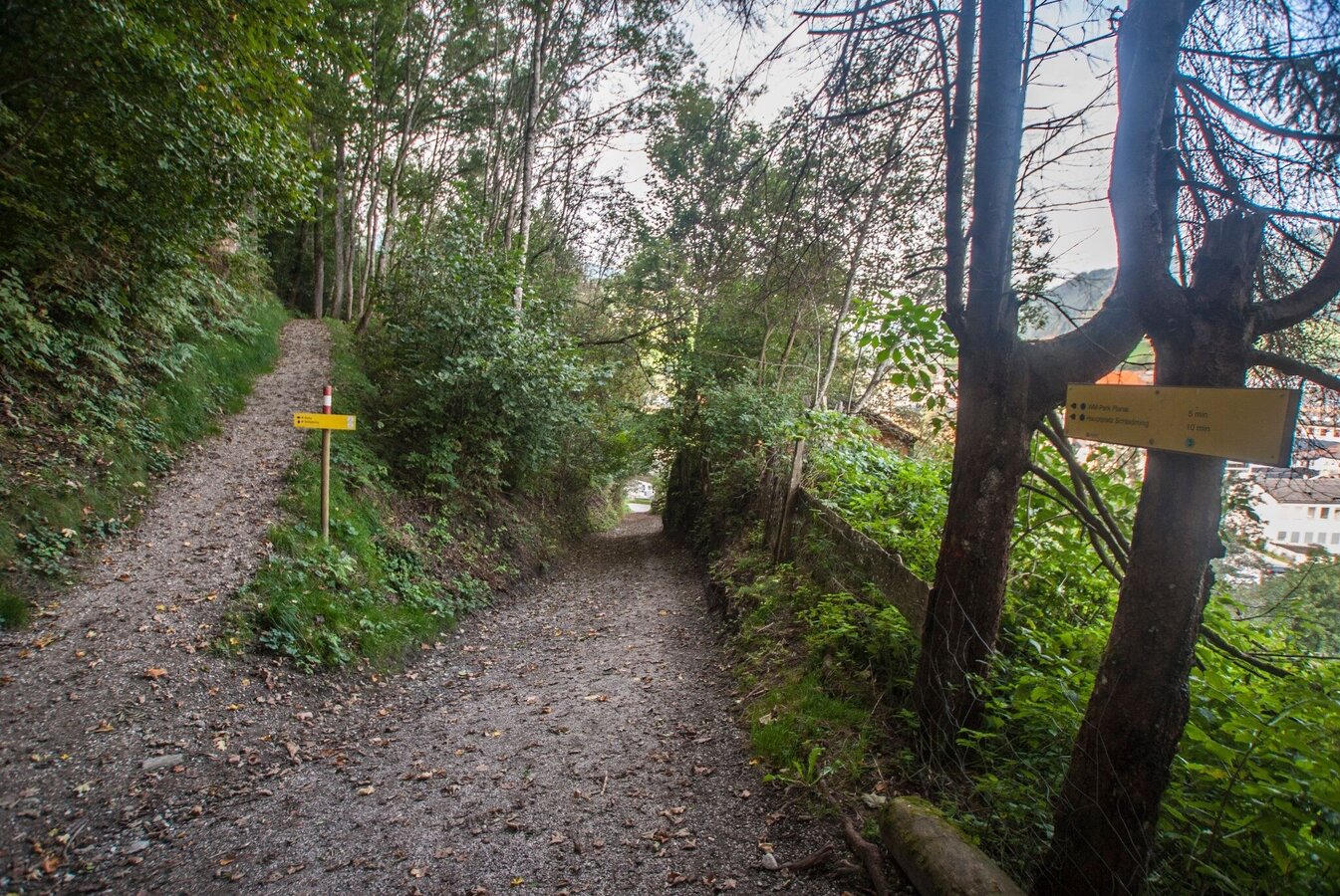
From the trail head at Planai stadium you make you way through Schießstattgasse street which joins into Berggasse street, which you follow past Pension Kieler. On the west side of Pension Kieler you turn off left towards Planai. You follow the signs of Grubeggweg/WM-Pfad Planai and hike up the trail. After 2 switchbacks you reach a trail junction and make a right towards Grubegg. From here you follow trail n° 2 to the West. After a couple of minutes you reach a viewpoint, where you have a great view over the mountain town Schladming. Keep on walking West until you reach trail n° 779 which takes you back down to Talbachklamm gorge from where you can reach Berggasse street within 5 minutes and head back to the trail head at Planai stadium.
In the town of Schladming you can take the Citybus. From Rohrmoos take the Planai buses to Planet Planai, from Ramsau take the buses of Ramsauer Verkehrsbetriebe.
- Citybus and buses from Rohrmoos - www.planaibus.at
- Buses from Ramsau - www.rvb.at
In an emergency please call:
- 140 - for Alpine emergencies (all over Austria)
- 112 - European GSM emergency number
Tourist information: www.schladming.com
Information about bus schedules: www.planaibus.at
360° drone images
Get yourself an overview with our 360° drone images:
View of the lower part of Talbachklamm gorge:
https://vonoben.schladming-dachstein.at/sommer/index.php?S=58
- Hiking map ‘Hiking WEST’ available at the information offices in the region.
- Schladming hiking map, 1:25,000, available at the Schladming information office.
- Hiking map Schladming-Dachstein, 1:50,000, available at the information offices in the region.
- Hiking guide Schladming-Dachstein by Herbert Raffalt, available at the information offices in the region.