
Hochweberspitze
Tour description
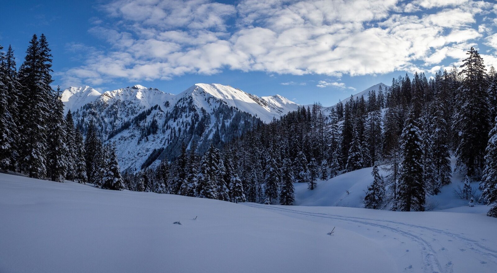
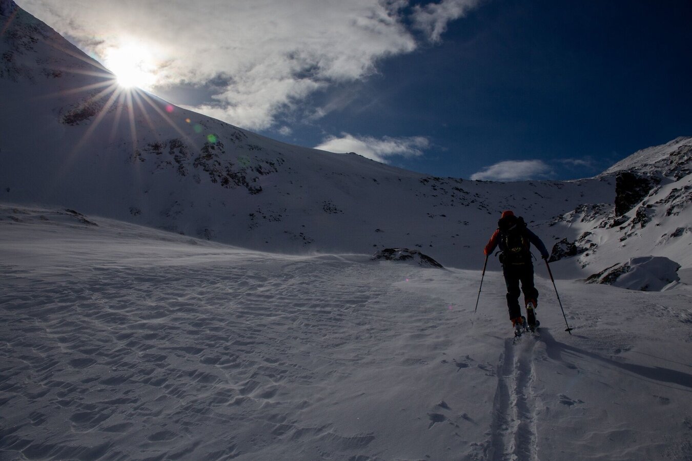
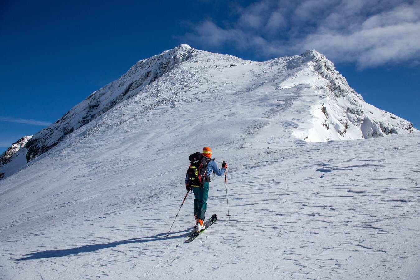
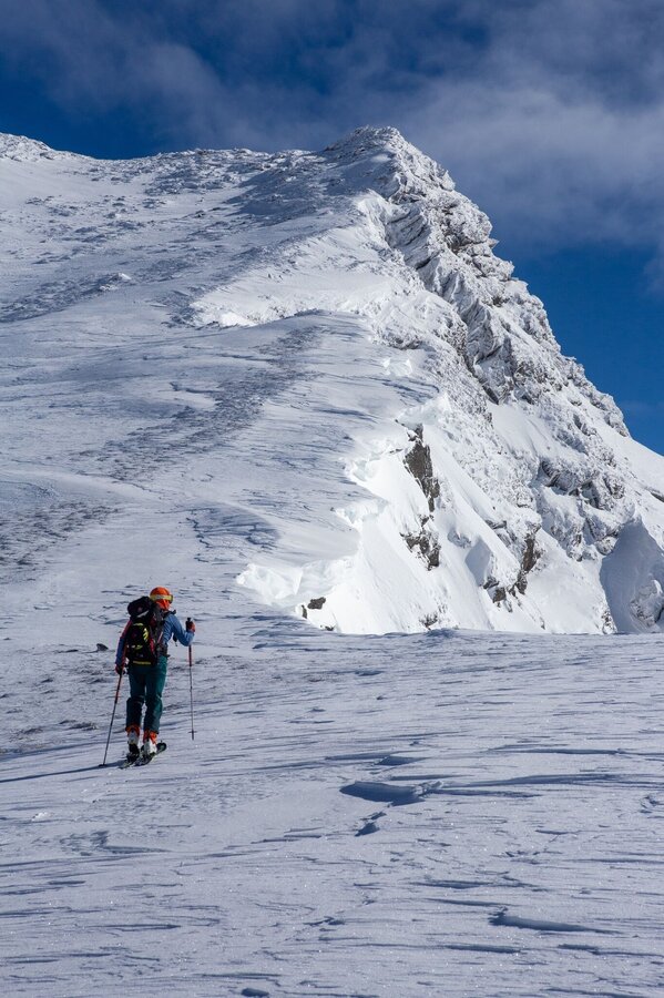
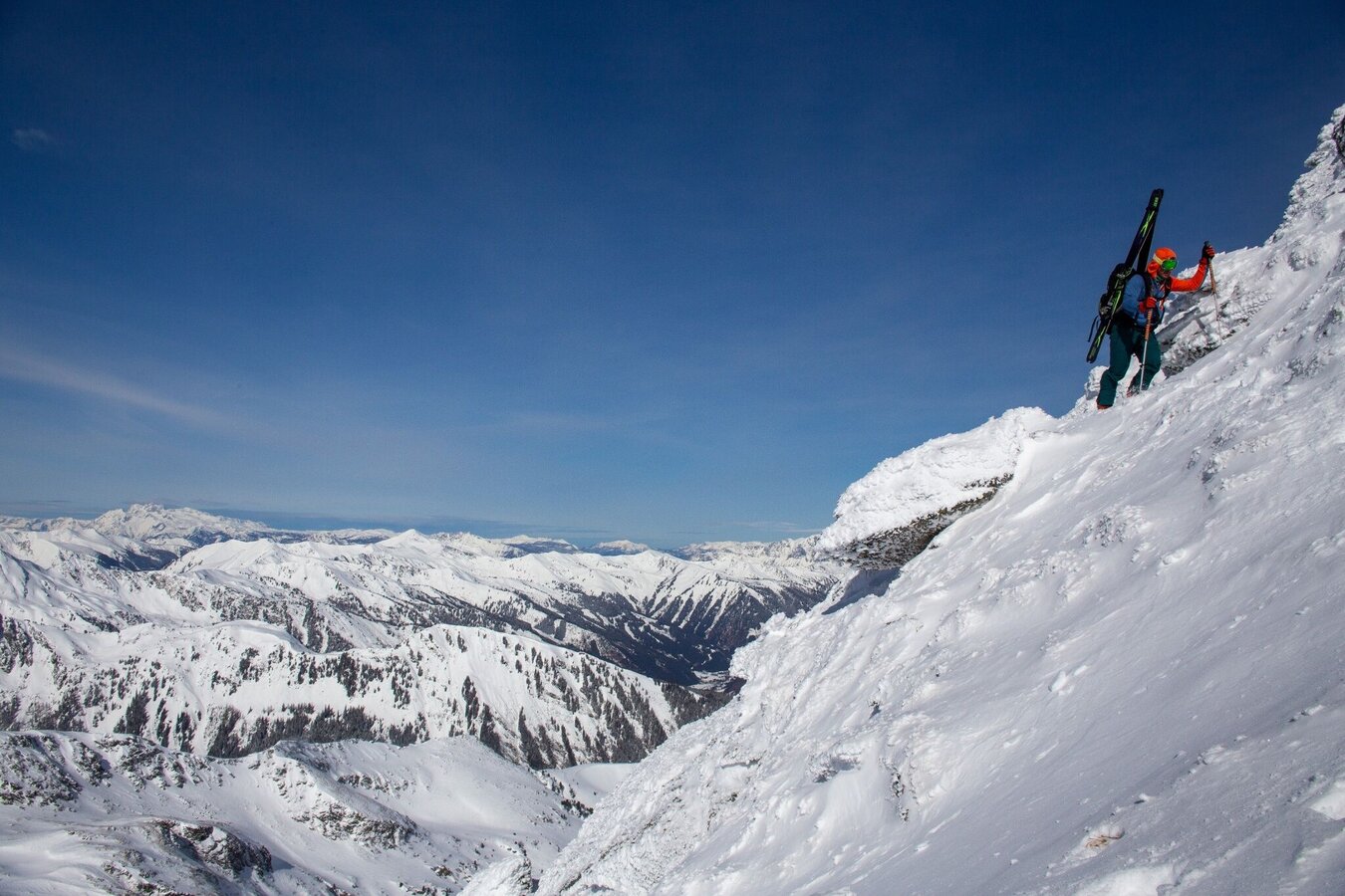
If you want to dive deep into the mountain world of the Wölzer Tauern, you have a perfect goal with the Hochweberspitze in Donnersbachwald, but it needs to be worked hard beforehand. The very long approach and the technical difficulties on the summit ridge require stamina, climbing skills and some experience. The last steep step and the summit ridge can be heavily blown off and in this case can only be mastered with crampons. And even if the snow quality should not be the best, this is countered by a mountain and landscape experience that compensates you for all that.
The tour
Map, elevation profile & further information
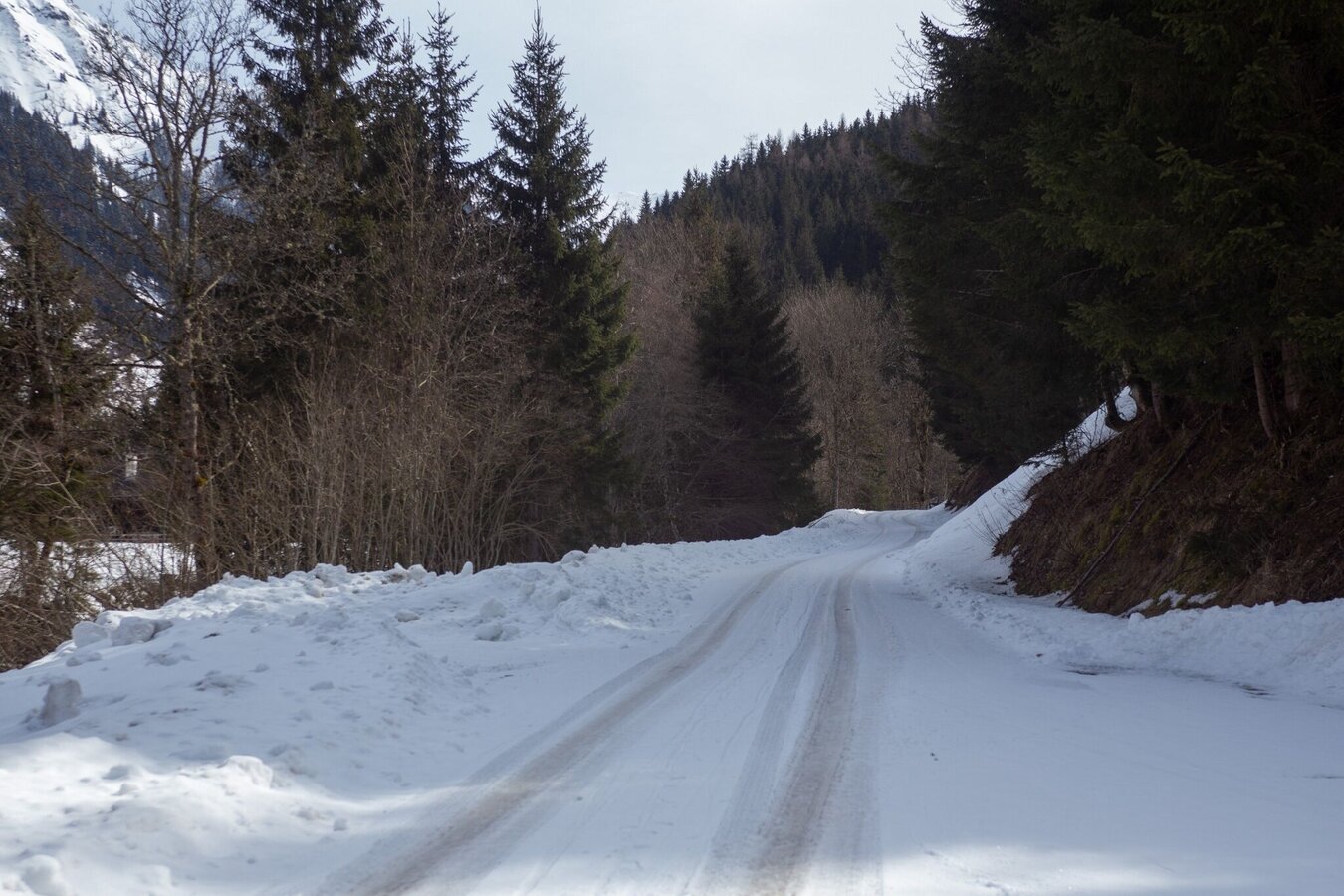
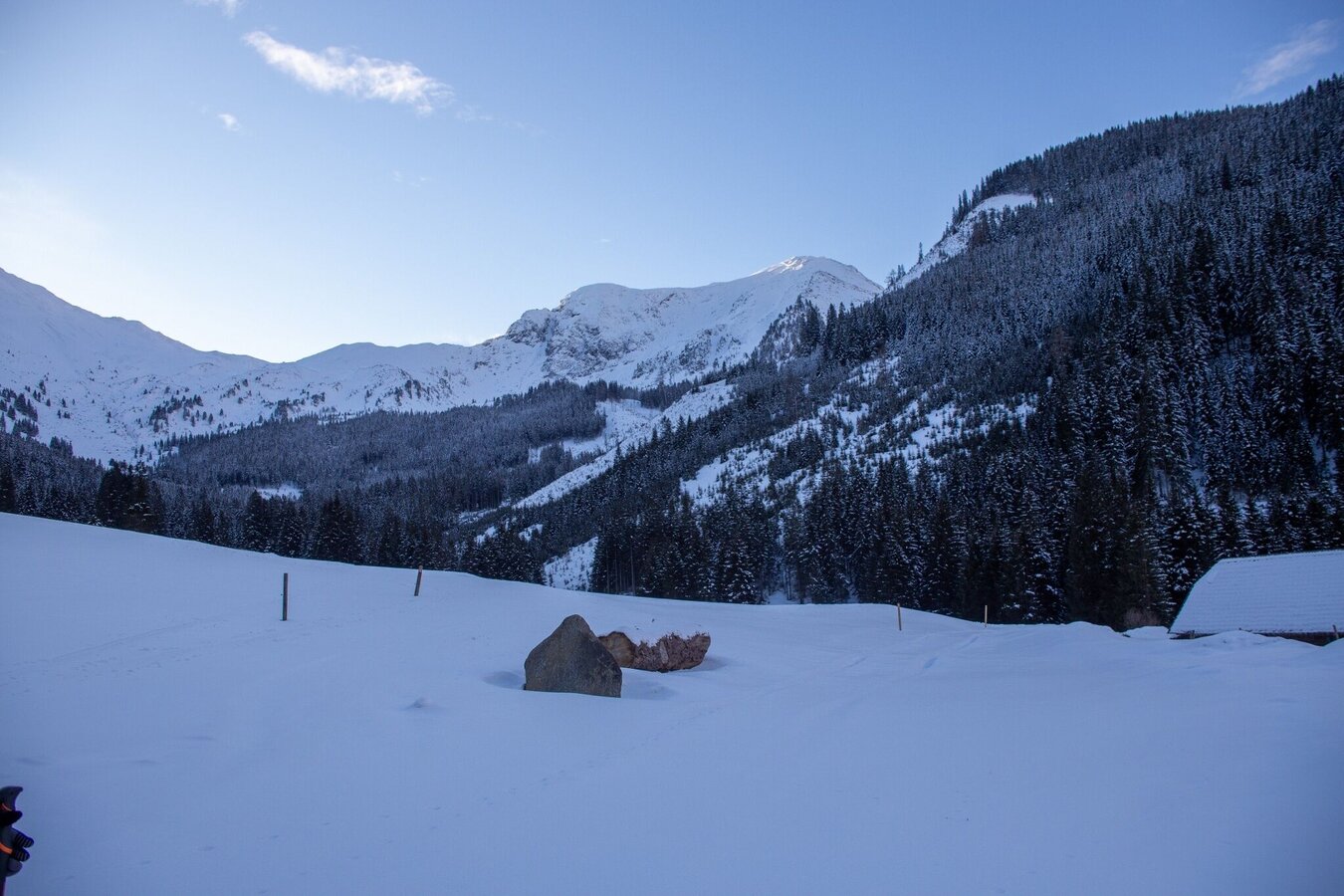
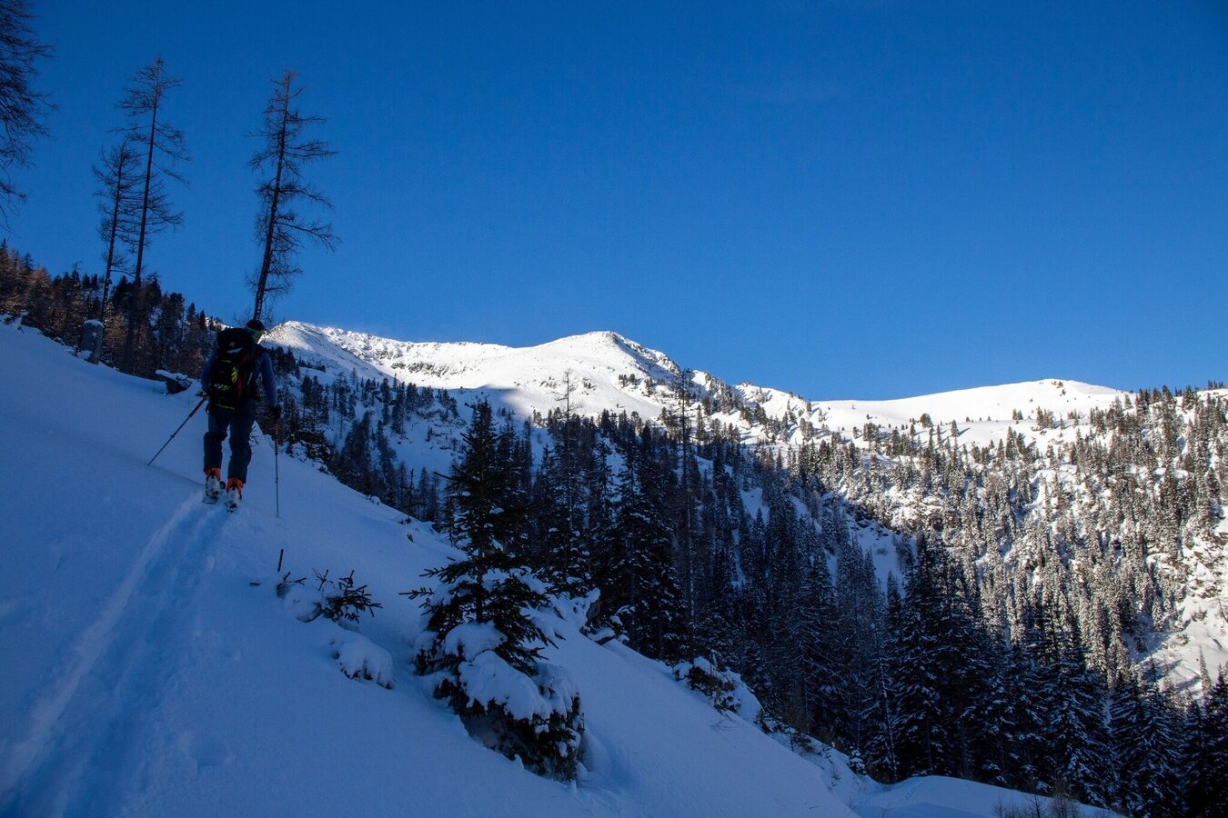
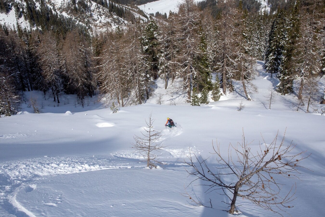
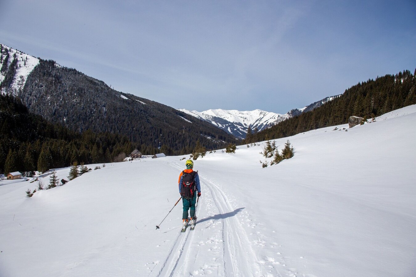
From the barrier you start on a flat forest road in the direction of Riedleralm. You can expect a very flat 2.7 km to the Riedleralm. Now you follow the left forest road and turn right after about 200 meters - so you avoid the wildlife feeding. Afterwards, again on the forest road, you will pass the Beireut Alm. One kilometer after the mountain pasture, keep to the right and stay on the forest road for another 2.3 kilometers. On your right is now an open forest area, over which you climb to a flat ground. Below the Schattenkogel again to the right, you climb in hairpin bends up to the first ground at 1850 meters above sea level. Now, keeping to the right, you bypass the steep step in front of you and track flat towards the south. The second steep step can be bypassed on the right in icy conditions. Steepening you climb up to the ski depot - depending on snow conditions - at about 2280 meters. Do not lay the ascent track too far to the south. There is usually a very large cornice that is not immediately visible. From the ski depot it's now an easy, but exposed climb to the summit. Here crampons may be necessary.
The descent is the same as the ascent.
Mountain sports and the assessment of the situation on site are - even more so in winter - primarily subject to personal responsibility. Tourism associations or avalanche warning services do not assume any liability based on the information provided.
- Check the weather and avalanche situation at www.lawine-steiermark.at before each ski tour.
- The use of the tour description is at your own risk and responsibility.
- Do not go on a ski tour alone. It's more fun together anyway!
- Always behave risk-conscious and react to danger signs!
- Respect existing regulations, such as hunting and game protection areas, reforestation or young growth areas.
- You should always have your cell phone well charged. Do you have the emergency numbers saved? Mountain rescue: 140. If you have no reception, take out the sim card and dial 112.
- Avalanche beacon, probe and shovel are essential in open terrain.
- Ski touring equipment consisting of skis/splitboard, skins, poles and possibly crampons.
- Food, warm drinks, spare clothing and a first aid kit.
- Choose your clothing according to the onion layer principle.
- Maps and/or tour descriptions. GPX tracks on your mobile phone or GPS device are also helpful.
- You can rent ski touring and safety equipment from Sport Scherz and Sport Schöttl.
It pays to get up early!
Tourism information: www.schladming-dachstein.at
Tourism blog: www.derbergdastal.at
Tourist Office Schladming-Dachstein
Ramsauerstrasse 756
8970 Schladming
T: +43 3687 23310
Garbage on meadows and paths can not smell mountain and valley. Please take it with you. Agriculture and forestry are important partners for Berg und Tal. They allow you to walk and drive on many of their paths. Be aware that only good cooperation will guarantee your recreational enjoyment in the future.
Sport ScherzAt Riesneralm, Planneralm and in Wörschach+43 (0)3682 22383sport-scherz.at
Sport SchöttlAt Planneralm and in Irdning+43 (0)3682 22952 0sport.schoettl.at
Guided ski tours and freeride courses also at www.magicsnow.at
KOMPASS Map 68, Ausseerland-Ennstal 1:50.000, Hiking, Biking, Ski tours


