
Grimming-Donnersbachtal
Five-Summit-Tour
Hiking trail
Data:
Tour description
5 STARS. In this tour you have all things that need a moutain-heart. Your Kingtour via: Finsterkarspitze-Großes Bärneck-Silberkarspitz-Sonntagskarspitz-Schwarzkarspitz!
The tour
moderate
publicly accessible
Starting point
Middelstation Riesneralm
Destination
Valley station Riesneralm
Tour characteristics
Fitness (4/6)
Skills (3/6)
Information
Distance: 14.36 km
Duration:
5 h 30 min
Ascent: 740 m
Descent: 1340 m
highest point: 2071 m
Best season
Jan
Feb
Mar
Apr
May
Jun
Jul
Aug
Sep
Oct
Nov
Dec
Map, elevation profile & further information
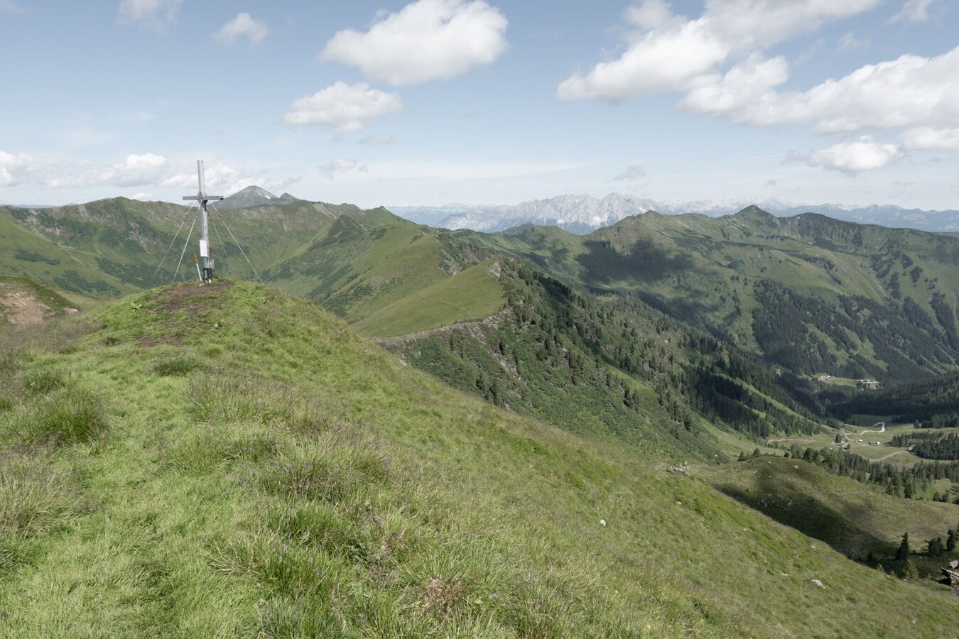
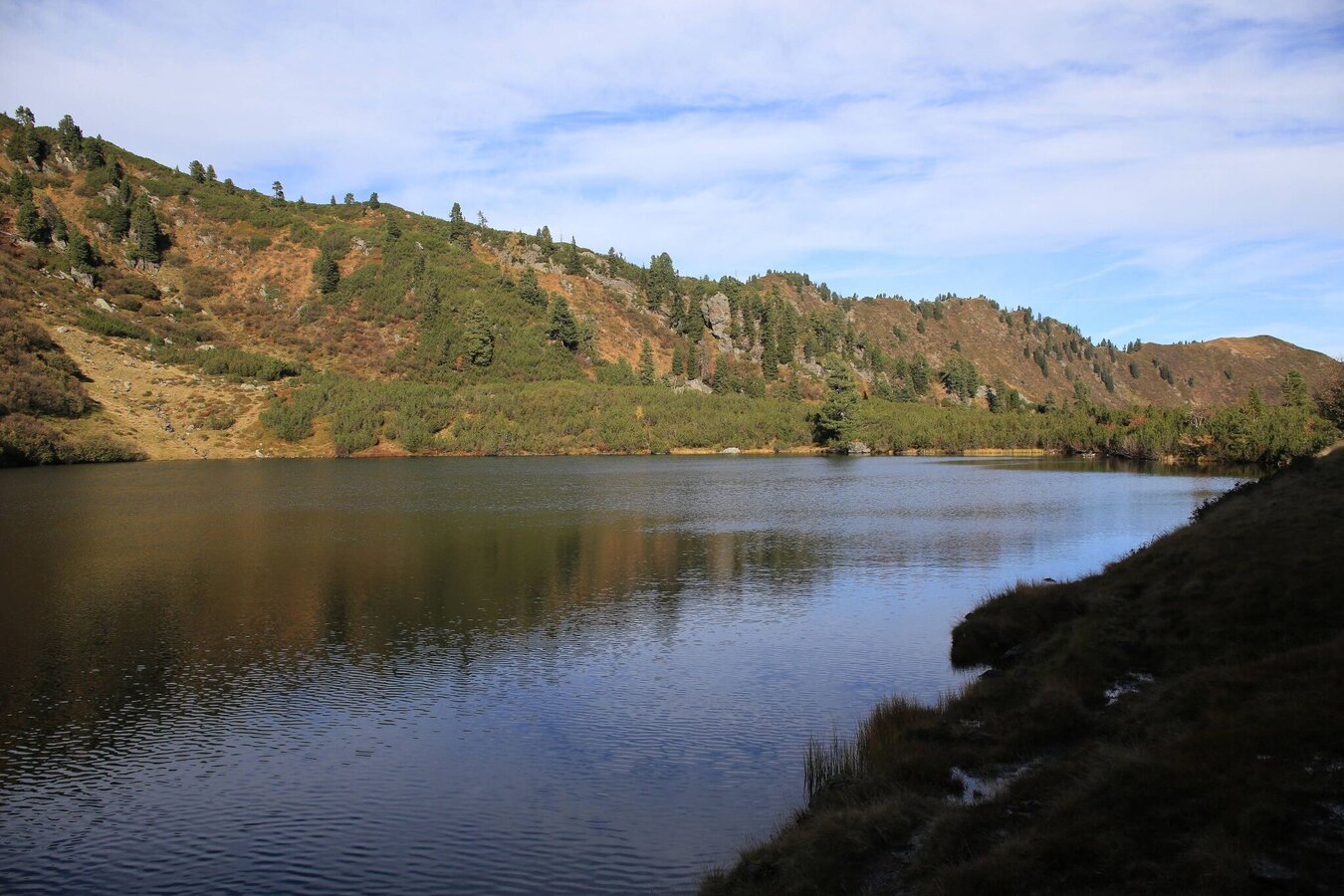
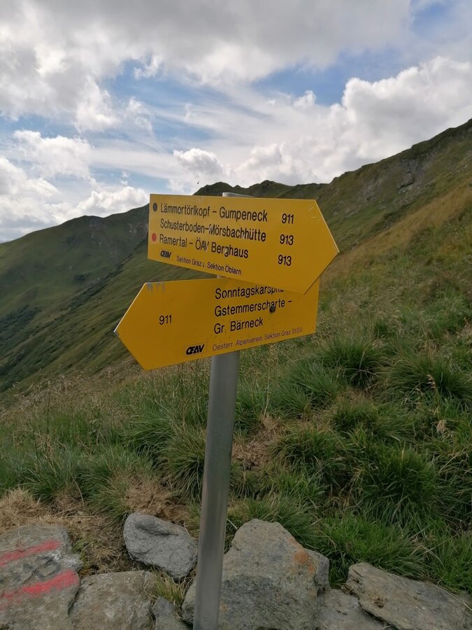
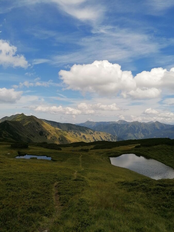
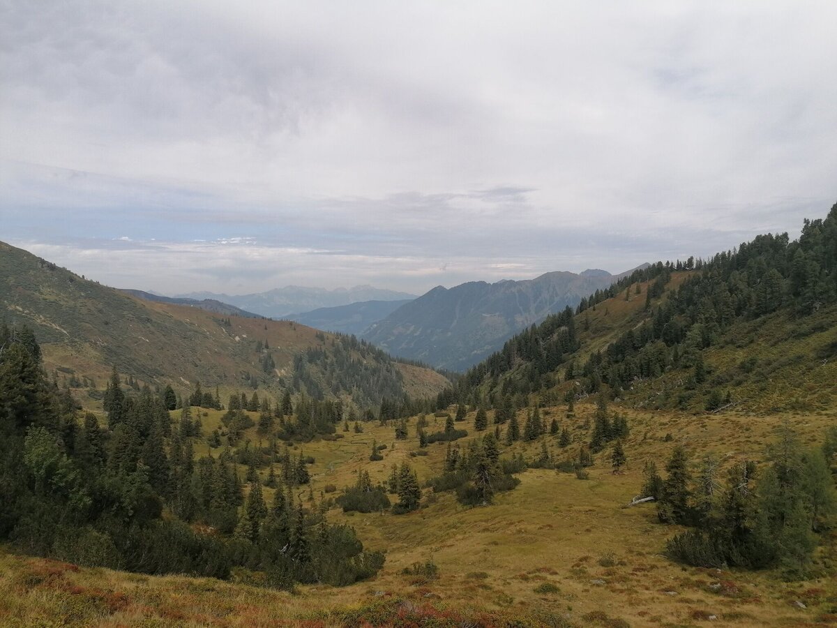
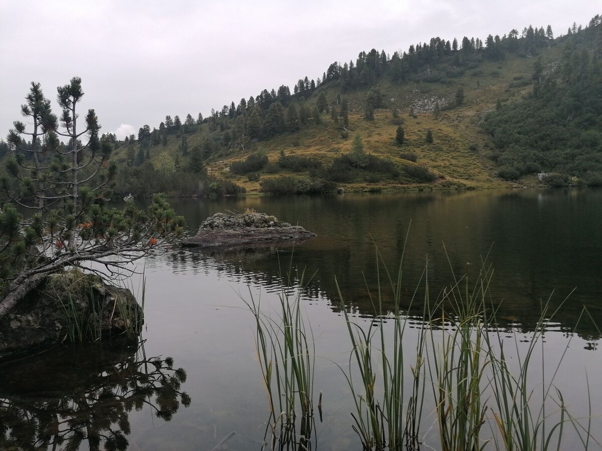
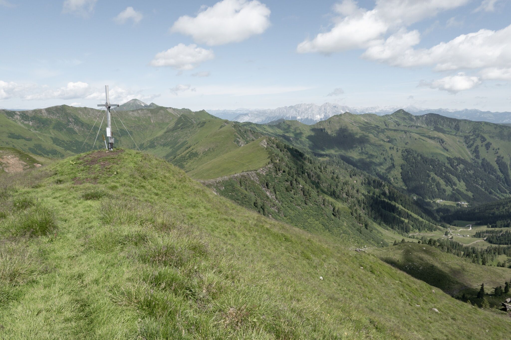
At the exit of the chairlift, immediately turn left and follow the markings in the direction of Finsterkaralm, walk past the huts along a narrow hiking trail up towards Finsterkarsee. A wonderful place for a short rest. Continue along the path up to the ridge. You follow the path that leads below the Finsterkarspitze past to the Großer Bärneck. Surefootedness is required here, because the path drops steeply to the left over meadow slopes into the Sölktal. After a good 30 minutes you reach the second summit. Short descent into the saddle and up to the Silberkarspitze. Continue following the ridge to the Gstemmerscharte. The two peaks Sonntagskarspitz and Schwarzkarspitz can be easily climbed here or you can cross below them in the direction of Mößnascharte. Then you have the last meters of altitude behind you. Continue on the Schusterboden to the northeast. From the timberline the path leads steeply down into the Mörsbach valley. You experience the abundance of water very closely, because large parts of the path are always wet.
From the Ennstalbundesstraße (B320) turn off at the Trautenfels junction in the direction of Irdning, Donnersbach, Donnersbachwald. Through the village of Donnersbach and another 12 km to Donnersbachwald to the Riesneralm.Free Parking Riesneralm
During summerholidays there gives no bus conections.
- Plan your tour in advance, taking into account walking time, route length, altitude difference, danger spots and weather forecast.Together is much more beautiful and at the same time safer in the mountains.
- Do not go alone, if possible, and adapt the tour to the ability of your group.
- Let them know where you are going and when you want to be back. Also sign hut or summit books.
- Turn back in good time if the weather deteriorates. If you get caught in a thunderstorm, do not stay on the summit or ridge and stay away from individual trees. Wait out the storm, if possible in a crouching position.
- Stay on the marked trails and remember to close pasture fences again.
- Getting up the trail is only half the battle. Stay alert, especially on the descents, to make it back to the valley safely.In case of emergency, keep calm and call the mountain rescue on 140. If you have no reception, take out the sim card and dial 112.
- If you encounter cows: It is best to pass above the herd with at least 50 meters distance. Stay calm, don't make any frantic movements and don't run away. Do not imitate cow sounds and do not try to pet the animals. A stick and loud shouting can often make the animals turn back in an emergency.
- If you are a dog owner: Clarify before the hike if you have to cross a pasture. Keep your dog on a leash and make sure he stays calm. If a cow attacks, let the dog off the leash immediately. Never pick him up to defend him.
- You can get detailed information on "Safe Mountain Hiking" from the Alpine Club. At www.alpenverein.at you can inform yourself comprehensively about it.
After the 5 summits take a break to get strong at the Mörsbachwirt. Good Coffee and curd strudel.Tourism information: www.schladming-dachstein.at
Tourist Office Schladming-Dachstein
Ramsauerstrasse 756
8970 Schladming
T: +43 3687 23310
info@schladming-dachstein.at
- SCHLADMING-DACHSTEIN Hiking EAST. Available free of charge at tourist offices and lodging establishments.
- SCHLADMING-DACHSTEIN Hiking Map (1:50.000)
- KOMPASS Hiking Map 68, Ausseerland-Ennstal 1:50.000, hiking, biking, ski touring


