
Pichl Trail

Tour description
An easy walk through the small villages of Pichl near Schladming, the tour connects the villages of Gleiming, Warterdorf, Grubdörfl and Pichl.
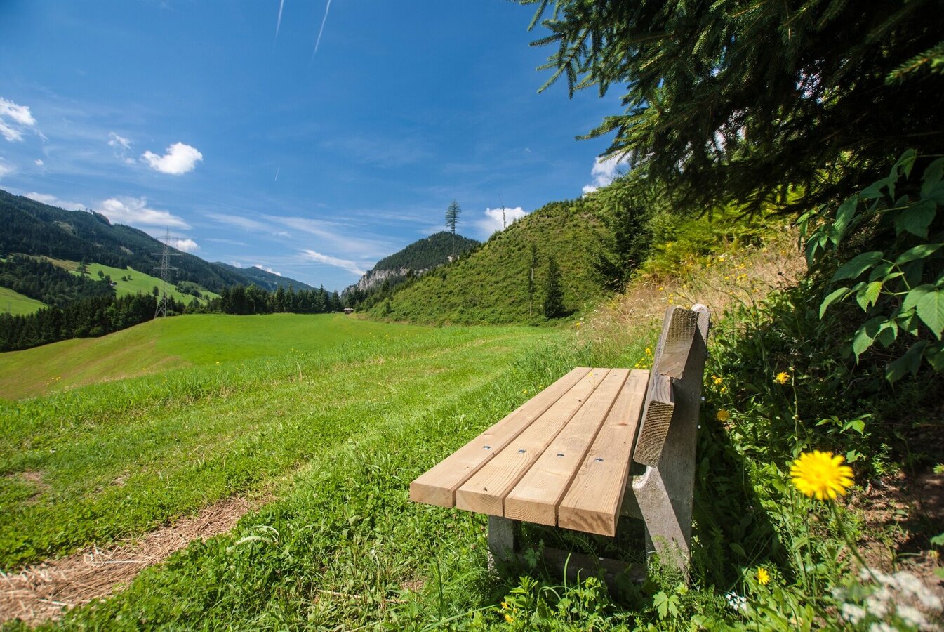
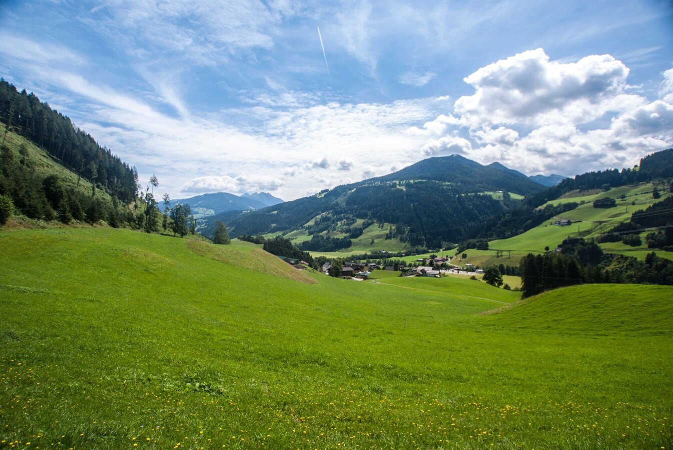
This walk connects the small villages of Pichl without covering a lot of ascents and descents. Starting from Gleiming (in winter the Western entrance to Schladming's 4 mountain ski area with its cable-car "Silver Jet") - the tour runs along the Enns river to the Western end of Schladming's "Obere Klaus". From there it runs through the villages of Pichl, Grubdorf, and Warterdorf, back to Gleiming.
The tour
Map, elevation profile & further information
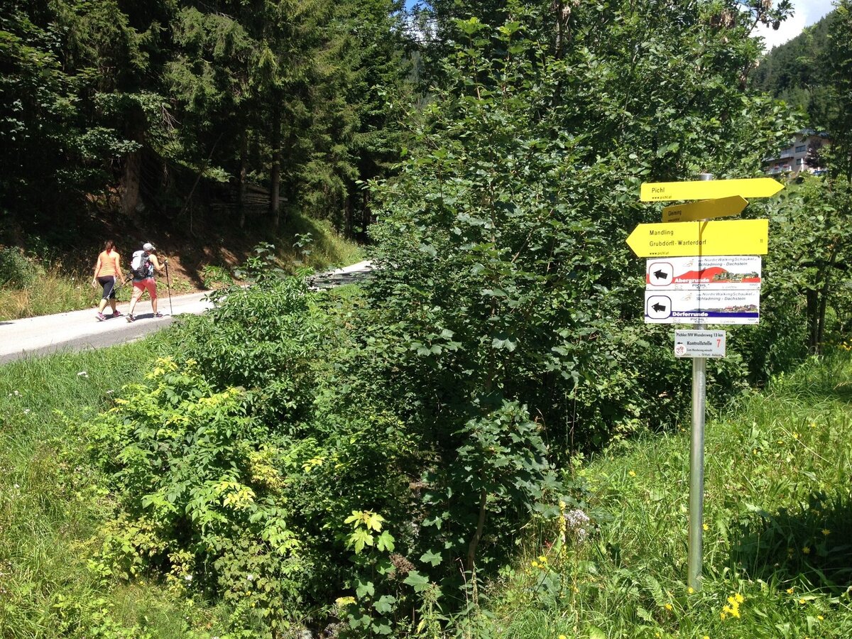
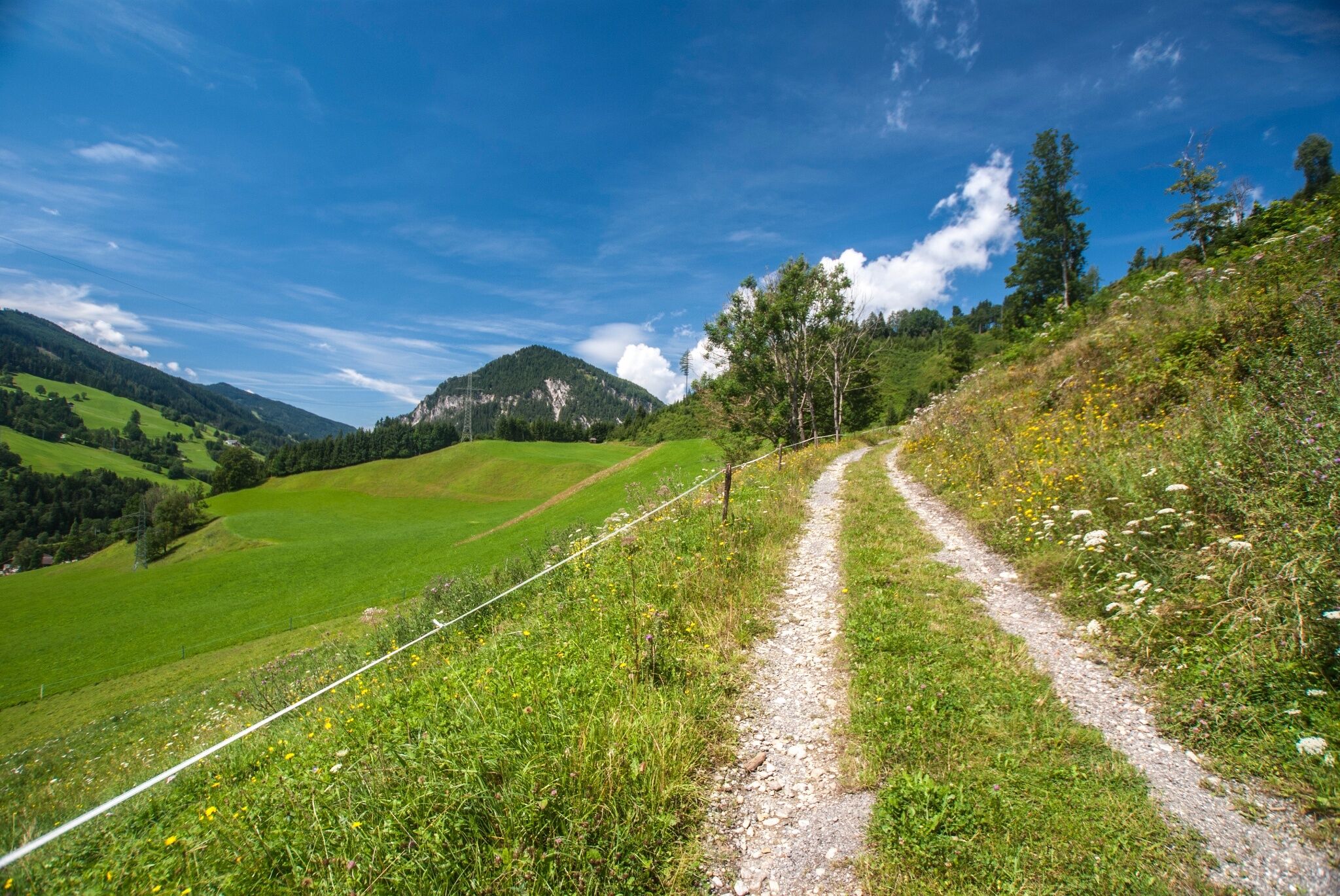
From Gasthof Brunner the tour starts towards South-East into the direction of Gleiming-Berg. After approximately 250 m you make a left onto a dirt road and head towards Pichl. Passing by the Zechmann farm you reach a hairpin bend of the Reiteralmstraße road on which you descend and pass by Heißhof and Weitgasserhof farms until you reach Café Hermann. At the café you turn right onto Ennsweg (path n° 13) which is synonymous with Schladming's "Tauernblickrunde". You walk along meadows and the river Enns. At the 1st bridge you cross over the river and take the underpass below the federal highway. You make an immediate right and at the building yard "Bliem" you make a left and ascend to Hochstraße. At the following intersection you make a left and continue past the Nößlauerhof farm. At the 1st hairpin after the farm you make a right onto a farm track and cross the Grießbach creek on the other side of the meadow. Yet you reach another road which you follow to the left for just some steps and then turn right at Wachlbacherhof farm and cross over the meadow to the small forest. Along the edge of the forest you hike down and then follow the Vorbergstraße road, passing by the former municipal building of Pichl-Preunegg. After about 250 m you make a left (after passing some houses on the left) and take path n° 11, a nice and quite dirt road that runs along the edge of the forest and crosses over the meadow above the hotel Pichlmayrgut. You reach another road - leading to Grubdörfl - on which you make a right and pass by Untergruberhof and reach the small village of Grubdörfl. Here you make a left and walk on to Warterdorf where you make another left and continue to Audorf from where you get back to Gleiming passing through the underpass of the federal highway.
Changes in weather patterns, quick falls in temperature, thunderstorms, wind, fog and snow are some of the dangers that can be encountered on a hiking tour. Hosts of alpine huts and mountain refuges have a lot of experience in the mountains and can give good advice about weather and the trails. Poor equipment, overestimation of one's own capabilities, carelessness, poor personal constitution and/or wrong judgement can lead to critical situations. In case of thunderstorms: avoid summits, ridges and steel ropes.
Available GPS data - just like hiking maps - is only a guidance for orientation and can never depict a trail exactly with all its details. Especially at dangerous spots it is essential to judge on site how to proceed.
In an emergency please call:
- 140 - for Alpine emergencies (all over Austria)
- 112 - European GSM emergency number
A well-packed backpack is helpful and especially when touring Alpine terrain a tuque, gloves, a windproof jacket and pants are standard equipment. Good, waterproof shoes, sun glasses, sun cream and sufficient beverages are essential too. Torch light, a map of the area, knie and a small first-aid kit should also be in the backpack.
Along the way there are several cafés and restaurants:
- Hotel-Gasthof Brunner
- Hotel Pichlmayrgut
- Gasthof Rainerbauer
- Café Hermann
Info about buses to Gleiming: www.postbus.at
- Hiking map ‘Hiking WEST’ available at the information offices in the region.
- Schladming hiking map, 1:25,000, available at the Schladming information office.
- Hiking map Schladming-Dachstein, 1:50,000, available at the information offices in the region.
- Hiking guide Schladming-Dachstein by Herbert Raffalt, available at the information offices in the region.


