contact
contact
ForYou Club
32 °C
Webcam
13 / 13 Open facilites
Current info
Schladming

Enns Trail Gleiming - Mandling
Tour description

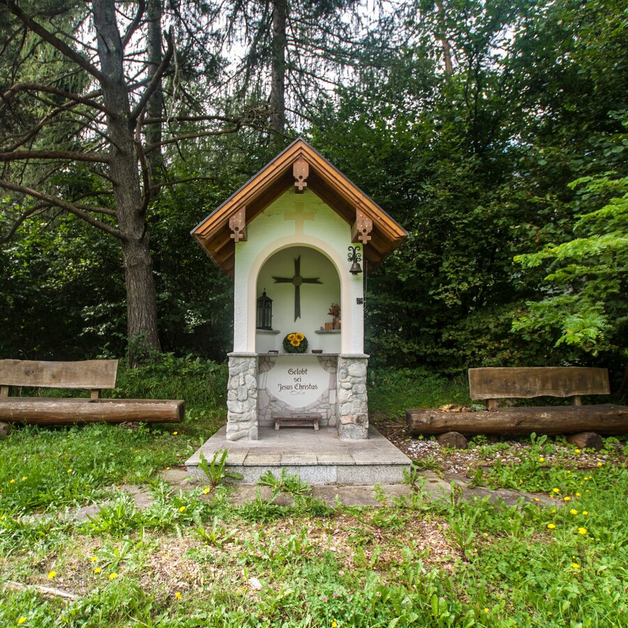
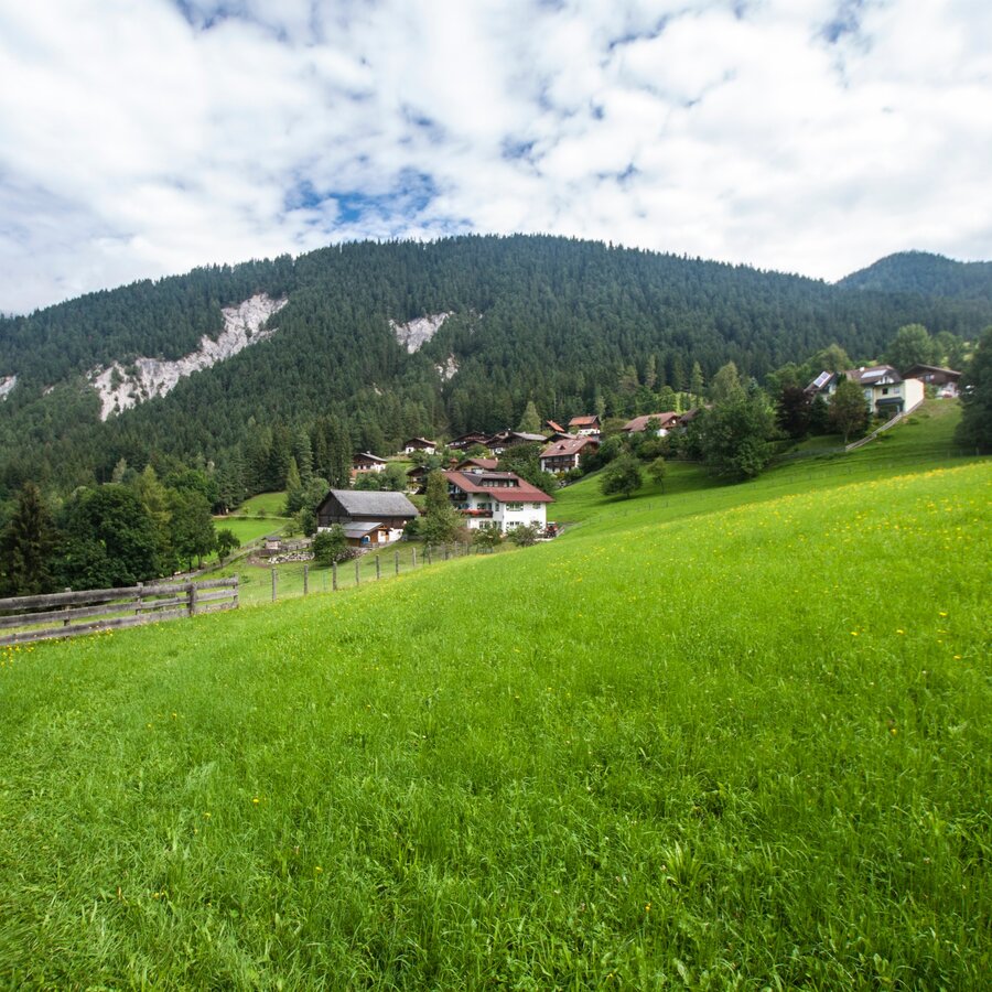
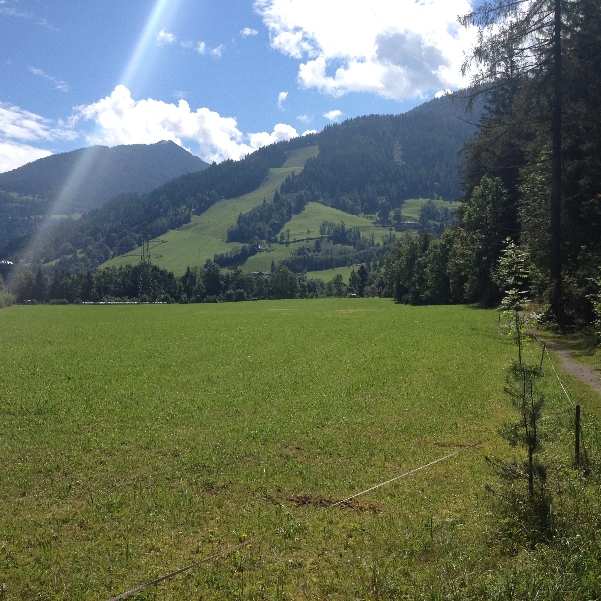
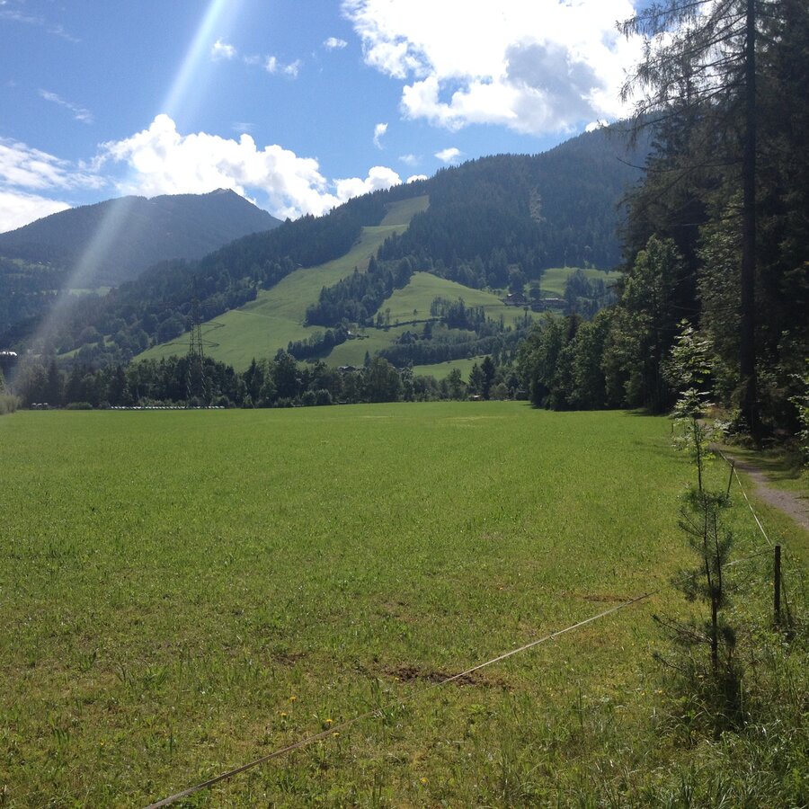
From Gleiming the tour takes you through Audorf and Warterdorf villages via gentle forest and meadow sections. Once you reach Mandling you walk back near the river Enns through nice lowland forest.

The tour

partially open
easy
publicly accessible
Starting and end point Gleiming, near the inn "Brunner"
Tour characteristics
Distance: 6.3 km
Fitness (2/6)
Information
Distance: 6.3 km
Duration: 1:30 h
Ascent: 70 m
Descent: 70 m
highest point: 826 m
Best season
Jan
Feb
Mar
Apr
May
Jun
Jul
Aug
Sep
Oct
Nov
Dec

Map, elevation profile & further information

You start off in Gleiming and hike to the underpass of the federal highway B320. Continue through Audorf and then walk up a narrow path behind the Audorf to reach the forest trail towards Warterdorf. Once you reach Warterhof farm in Warterdorf continue along the road to the turn-off from the federal highway B320. Follow trail n° 100 (»Panoramaweg 100«) until you reach »Mandling«. Walk past the loden manufacturer Steiner1888 and then use the pedestrian underpass and the bridge across the railroad. Walk through the residential area of the village of Mandling and then across the bridge over the river Enns. Pass by the gravel pit and continue along the river Enns back to Gleiming.

Exit from federal highway B320 in Gleiming, make a left after the Enns river bridge and continue to the parking at the Reiteralm valley terminal. West of the parking area there is Hotel Brunner, which is your starting point.Parking is available around the valley terminal of Reiteralm-Bergbahnen lift company.
With the "Postbus" buses from Schladming to Gleiming. www.postbus.at
Hiking or trekking shoes with grip sole, jacket.

Tourist information: www.schladming.com

Information about bus schedules: www.postbus.at

  • Hiking map ‘Hiking WEST’ available at the information offices in the region.
  • Schladming hiking map, 1:25,000, available at the Schladming information office.
  • Hiking map Schladming-Dachstein, 1:50,000, available at the information offices in the region.
  • Hiking guide Schladming-Dachstein by Herbert Raffalt, available at the information offices in the region.

Wheather predicition

today
30.07.2026
Mountain 26 °C
Valley 34 °C
Precipitation
Probability
15 %
Amount
0 l/m²
Wind speed
West
5 km / h
Sun
Sun hours
13.5 h
Sunrise
05:41 o clock
Sunset
20:42 o clock

Dry and sunny throughout the day with hardly any clouds.

tomorrow
31.07.2026
Mountain 27 °C
Valley 34 °C
Precipitation
Probability
10 %
Amount
1.2 l/m²
Wind speed
Nordwest
5 km / h
Sun
Sun hours
11.9 h
Sunrise
05:42 o clock
Sunset
20:40 o clock

Dry and bright with plenty of sunshine, clouds will be rare.

day after tomorrow
01.08.2026
Mountain 23 °C
Valley 30 °C
Precipitation
Probability
65 %
Amount
12 l/m²
Wind speed
<p>East</p>
5 km / h
Sun
Sun hours
11.3 h
Sunrise
05:43 o clock
Sunset
20:39 o clock

Dry and fair in the early morning, later frequent thunderstorms.

Tours nearby