


Grimming-Donnersbachtal
Tausinground
Hiking trail
Data:

Tour description
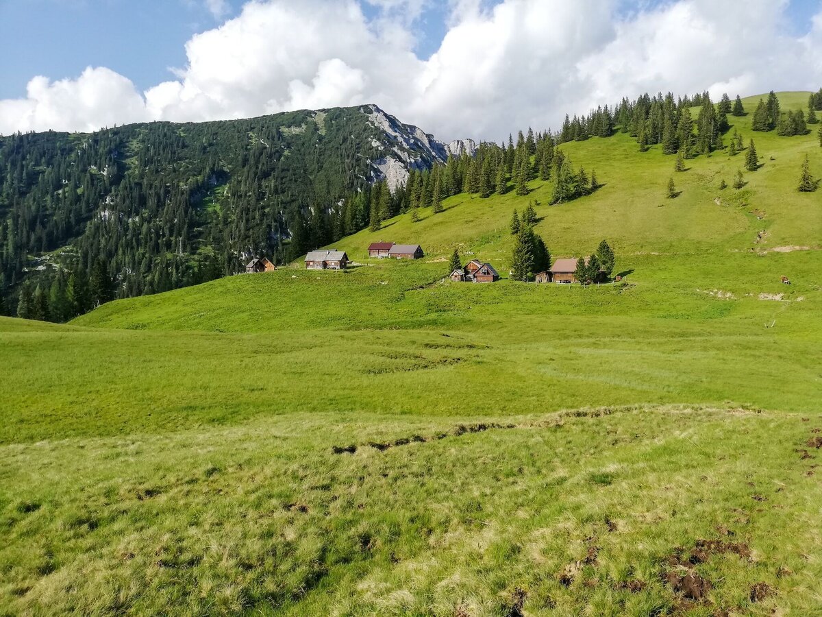
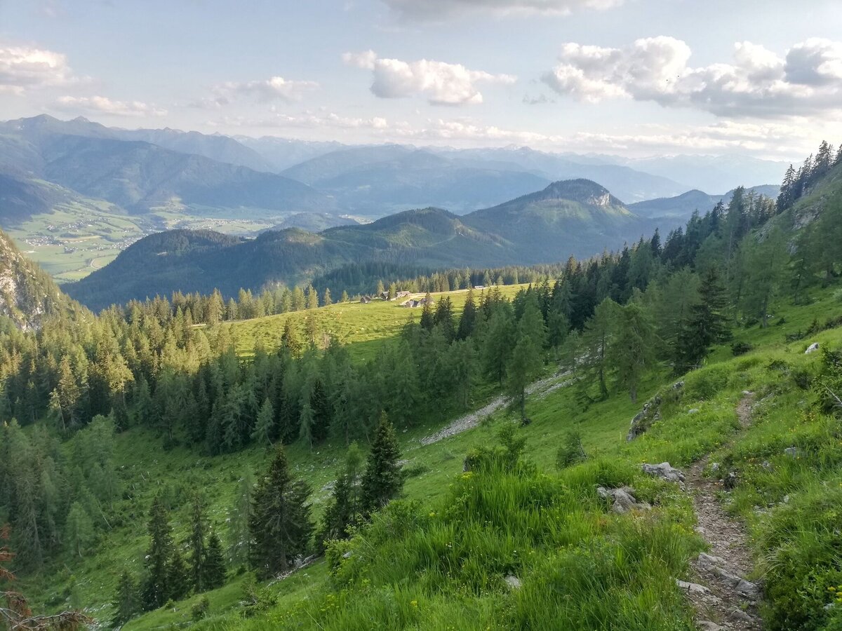
ON THE SUNNY TERRACE. From the parking lot Schönmoos you hike along the forest road to the sunny Bärenfeichtenalm. The view is magnificent! Both Wölzer and Schladminger Tauern as well as the Grimming lie before you. On the other side, the Hochtausing - affectionately called "Ennstaler Zuckerhut" - towers above you. To go around it, take a path down to the Schneehitzalm, continue over the Langpoltner Klamml to the start of the via ferrata. Pass by there and return via forest and forest road.
The tour
moderate
Starting and end point
Parkplace Schönmoos
Tour characteristics
Distance: 11.2 km
Fitness (3/6)
Information
Distance: 11.2 km
Duration:
5:30 h
Ascent: 500 m
Descent: 500 m
highest point: 1617 m
Best season
Jan
Feb
Mar
Apr
May
Jun
Jul
Aug
Sep
Oct
Nov
Dec
Map, elevation profile & further information
You start from the parking lot Schönmoos hike, following the signs, along the forest road to the embedded Bärenfeichtenalm. The view is magnificent! Both Wölzer and Schladminger Tauern as well as the Grimming lie before you. On the other side, the Hochtausing - affectionately called "Ennstaler Zuckerhut" - rises up. To go around it you continue to the Schneehitzalm and then a little steeper downhill to the Langpoltner Klamml. At the entrance of the via ferrata you pass and go back to Schönmoos via forest and forest road.
Way number: 6
Leave the Ennstal federal road (B320) in Wörschach. In the village, turn off in the direction of Wörschachberg, drive up to the Oberkogler-Alm and continue to Schönmoos. Free Parking in Schönmoos
Arrival by public transport is only possible as far as Wörschach Ort. Unfortunately there is no bus service up to the Wörschachberg.
- Plan your tour in advance, taking into account walking time, route length, altitude difference, danger spots and weather forecast.Together is much more beautiful and at the same time safer in the mountains.
- Do not go alone, if possible, and adapt the tour to the ability of your group.
- Let them know where you are going and when you want to be back. Also sign hut or summit books.
- Turn back in good time if the weather deteriorates. If you get caught in a thunderstorm, do not stay on the summit or ridge and stay away from individual trees. Wait out the storm, if possible in a crouching position.
- Stay on the marked trails and remember to close pasture fences again.
- Getting up the trail is only half the battle. Stay alert, especially on the descents, to make it back to the valley safely.In case of emergency, keep calm and call the mountain rescue on 140. If you have no reception, take out the sim card and dial 112.
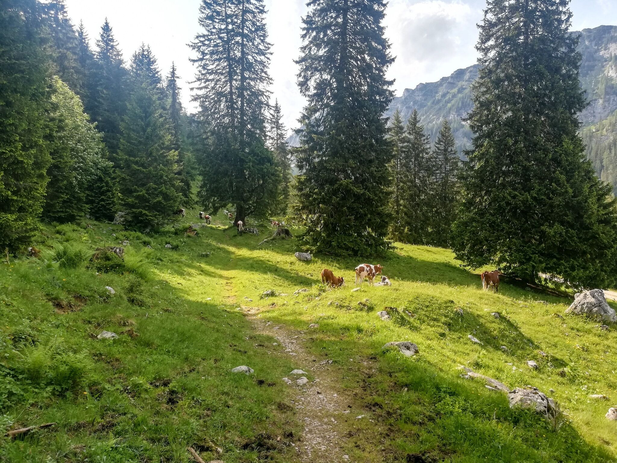
- If you encounter cows: It is best to pass above the herd with at least 50 meters distance. Stay calm, don't make any frantic movements and don't run away. Do not imitate cow sounds and do not try to pet the animals. A stick and loud shouting can often make the animals turn back in an emergency.
- If you are a dog owner: Clarify before the hike if you have to cross a pasture. Keep your dog on a leash and make sure he stays calm. If a cow attacks, let the dog off the leash immediately. Never pick him up to defend him.
- You can get detailed information on "Safe Mountain Hiking" from the Alpine Club. At www.alpenverein.at you can inform yourself comprehensively about it.
Go eating to the Oberkogler-Alm.
Tourist information: www.schladming-dachstein.at
Schladming-Dachstein Tourist Office
Ramsauerstraße 756
8970 Schladming
T: +43 3687 23310
info@schladming-dachstein.at
SCHLADMING-DACHSTEIN Hiking EAST. Available free of charge from tourist offices and accommodation providers.
SCHLADMING-DACHSTEIN Hiking Map 1:50,000
KOMPASS Hiking Map 68, Ausseerland-Ennstal 1:50,000, hiking, cycling, ski touring


