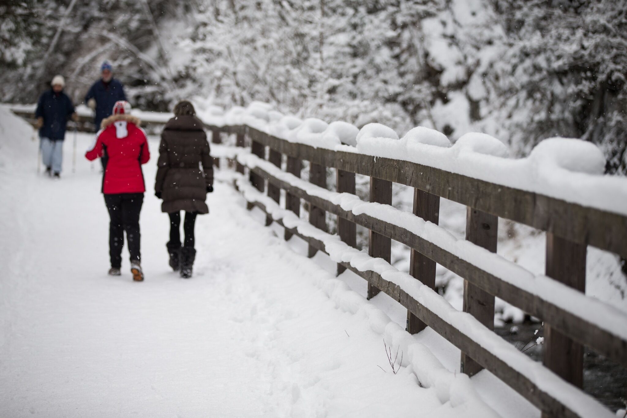
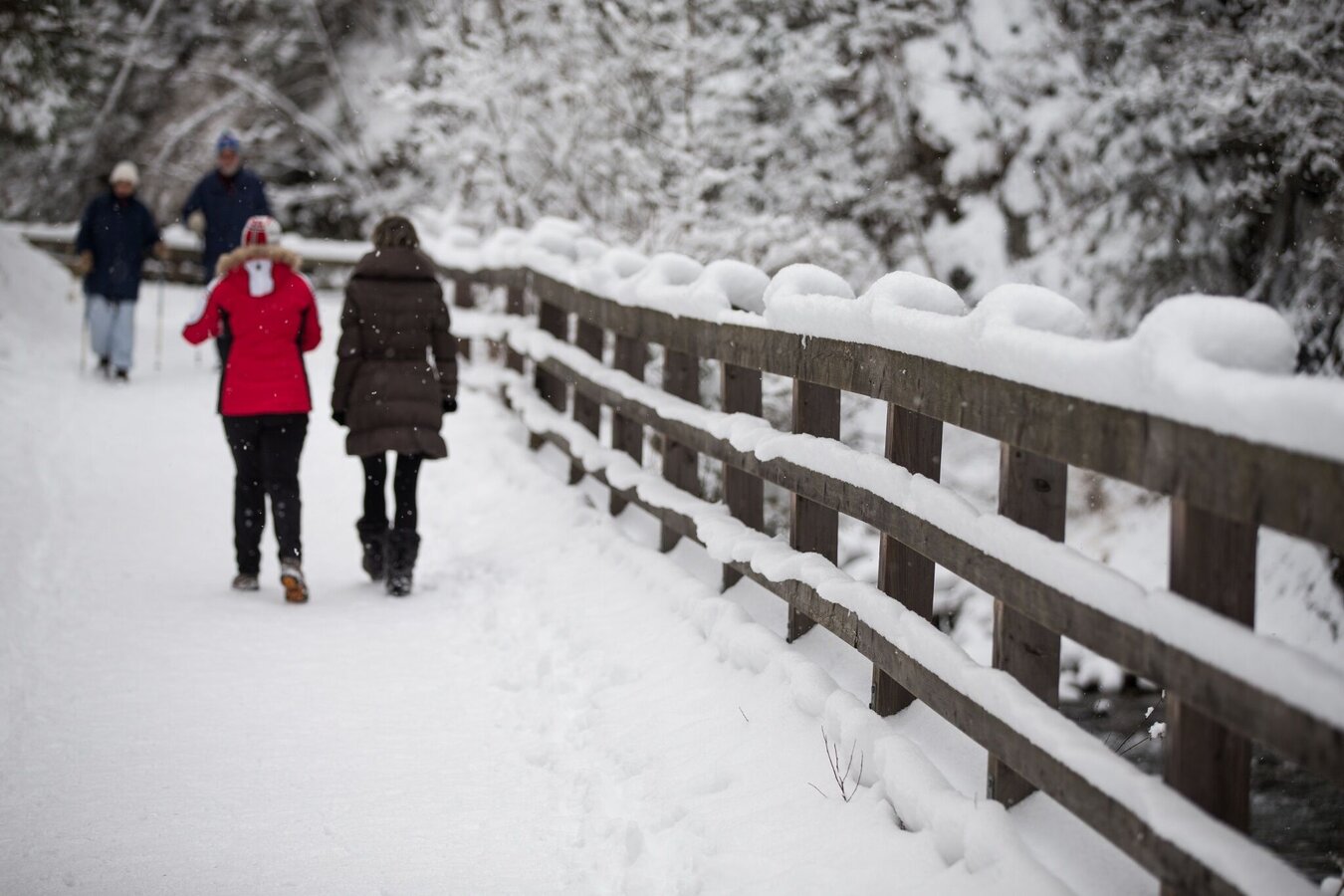
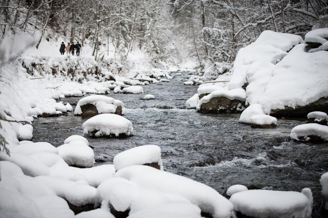
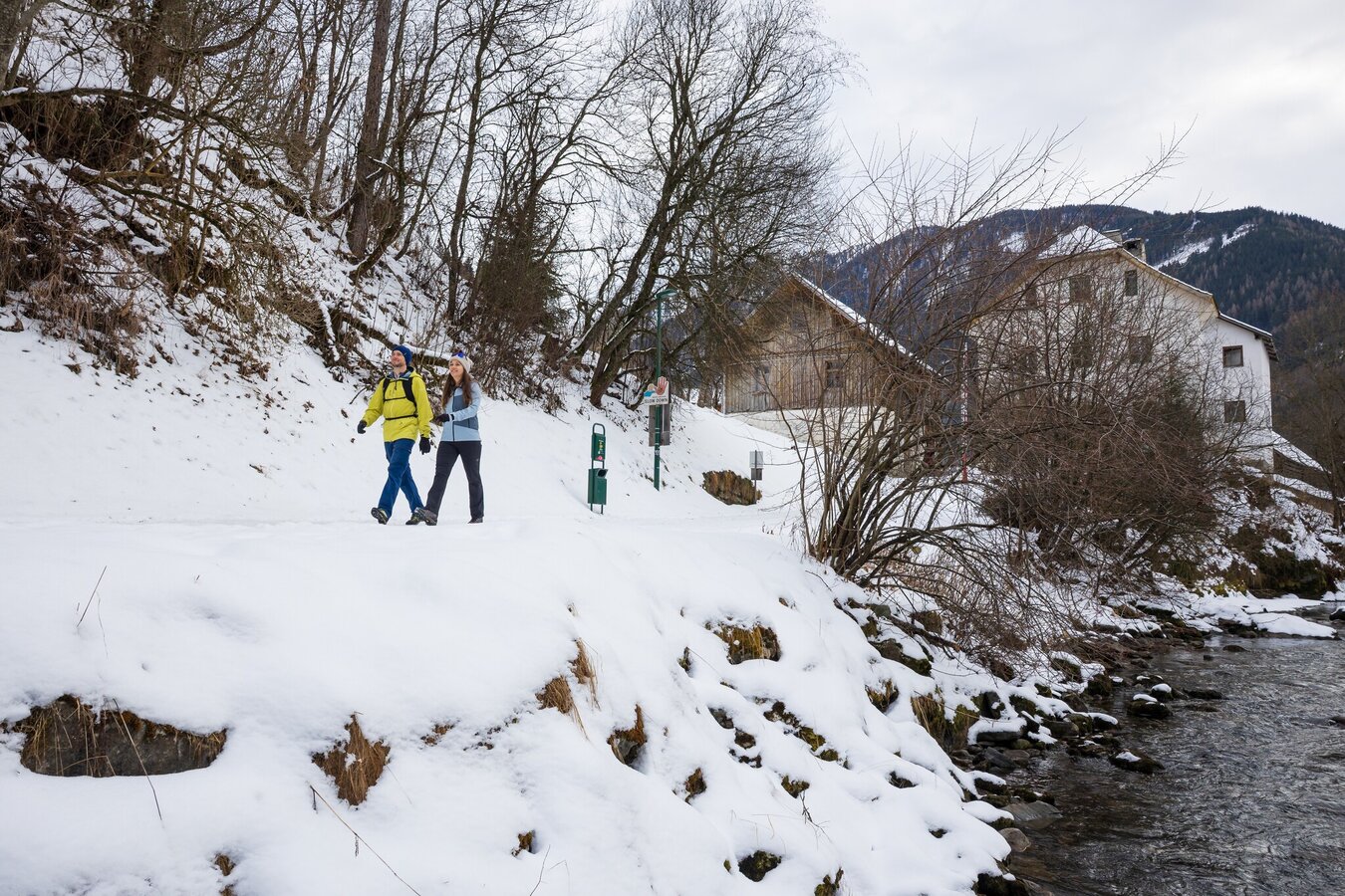
Talbachklamm Gorge Winter Walk
Tour description
The tour
Map, elevation profile & further information
If you start in the village of Untertal, go straight ahead (2nd exit) at the second roundabout in Schladming and continue on provincial highway L722 (Rohrmoosstraße road) to Rohrmoos. At the roundabout in Rohrmoos take the 3rd exit and continue on provincial highway L723 (Tälerstraße road) to the village of Untertal. The hiking trail head is situated on the right side when you enter the village.
Exit from federal highway B320 at the exit "Schladming-Mitte" and continue to the town center. At the first roundabout go straight ahead (2nd exit) and at the second roundabout take the 3rd exit and cross the bridge next to the brewery. Make a right turn into Talbachgasse street and at its end (after a short steep section of the street) make a right to Kraiter car park.If you start in the village of Untertal, go straight ahead (2nd exit) at the second roundabout in Schladming and continue on provincial highway L722 (Rohrmoosstraße road) to Rohrmoos. At the roundabout in Rohrmoos take the 3rd exit and continue on provincial highway L723 (Tälerstraße road) to the village of Untertal. The hiking trail head is situated on the right side when you enter the village.
Parking is available at Kraiter car park (fee) or at the hiking trail head in the village of Untertal (free).
If you start the tour in the village of Untertal, take the Planai buses from Schladming (Planet-Planai, Lendplatz) or Rohrmoos (Rohrmoos-Zentrum) to Untertal - bus stop "Untertal-Dorf".
- Citybus and buses from Rohrmoos - www.planaibus.at
- Buses from Ramsau - www.rvb.at
In winter there is also bus connections between Schladming, Rohrmoos and Untertal-Dorf in the evening.
Information about bus schedules: www.planaibus.at
Schladming-Dachstein Winter experience Map WEST, available at the tourist information offices in the region.