


Grimming-Donnersbachtal
Steirischer Gstanzlweg
Themes and adventure trails
Data:
copyright: Christoph Lukas
copyright: Christoph Lukas

copyright: Christoph Lukas
copyright: Christoph Lukas

copyright: Christoph Lukas
copyright: Christoph Lukas
copyright: Christoph Lukas
copyright: Christoph Lukas
copyright: Christoph Lukas
copyright: Christoph Lukas
copyright: Christoph Lukas
copyright: Christoph Lukas
Tour description
HOLADARIDIO HOLADIO. Along the Vorderwaldrunde in Donnersbachwald entertaining Gstanzln and anecdotes about old farms were attached, which invite you to read, listen and especially to smile. A truly informative and g'fun thing.
The tour
easy
Starting point
Parking lot village center Donnersbachwald
Destination
Parking lot in the center of Donnersbachwald (end of the Gstanzlweg is in Vorderwald)
Tour characteristics
Distance: 2.77 km
Fitness (2/6)
Skills (2/6)
Information
Distance: 2.8 km
Duration:
55 min
Ascent: 100 m
Descent: 112 m
highest point: 1031 m
Best season
Jan
Feb
Mar
Apr
May
Jun
Jul
Aug
Sep
Oct
Nov
Dec
Map, elevation profile & further information
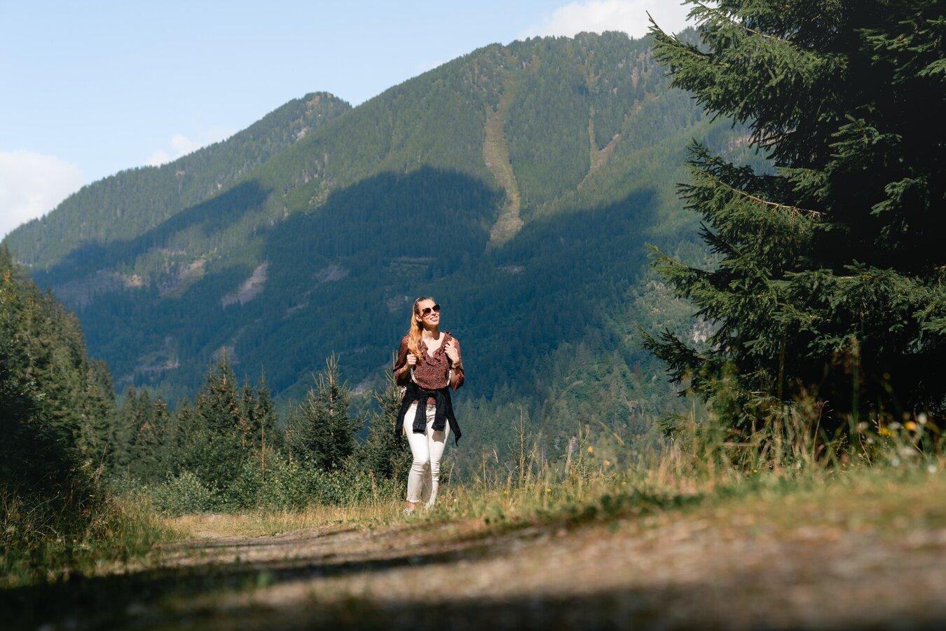
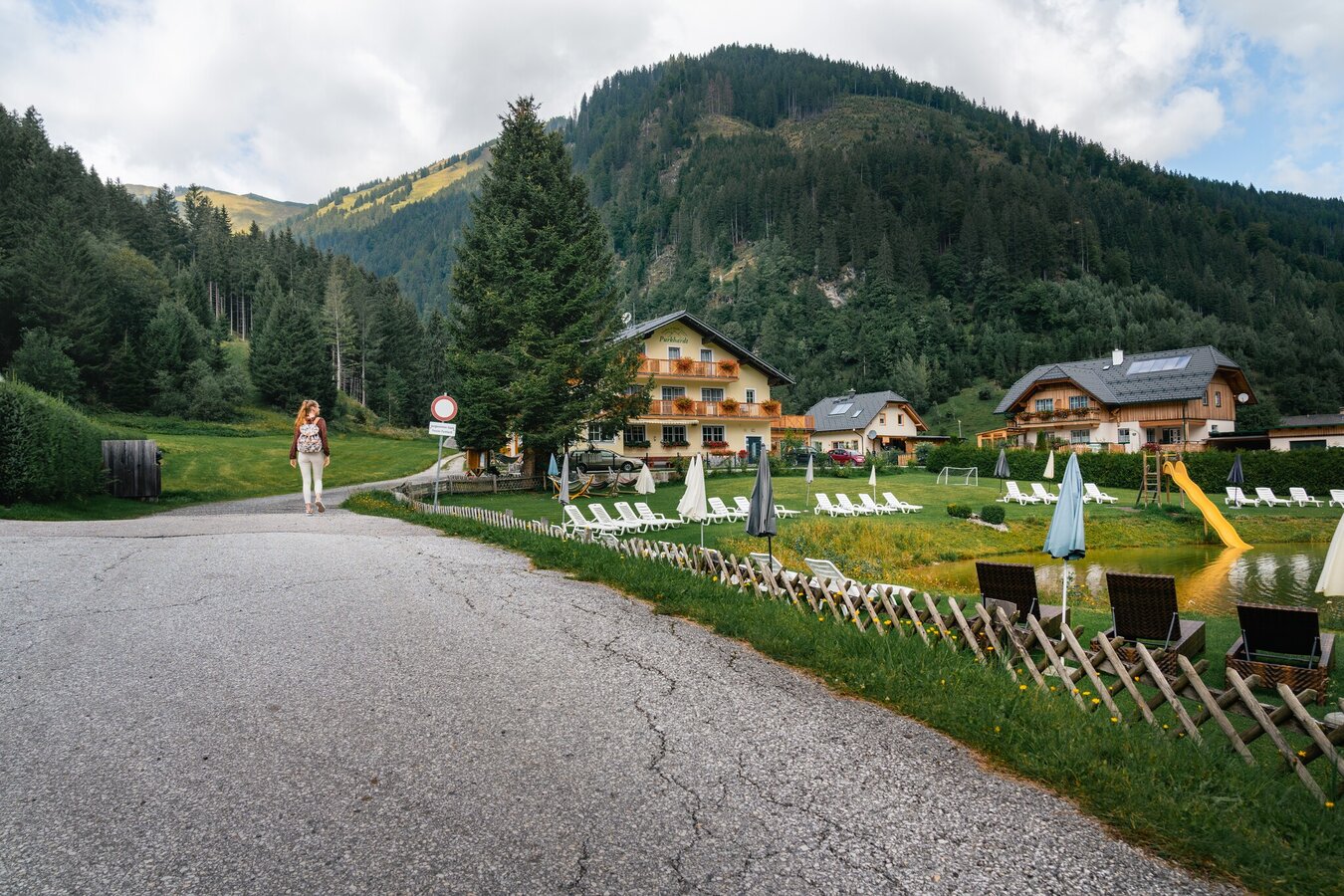
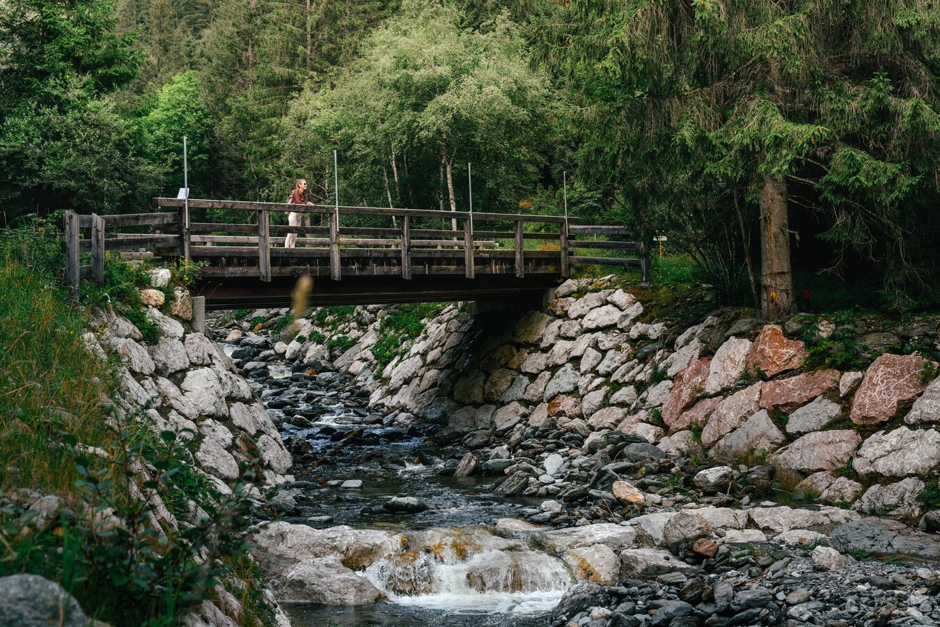
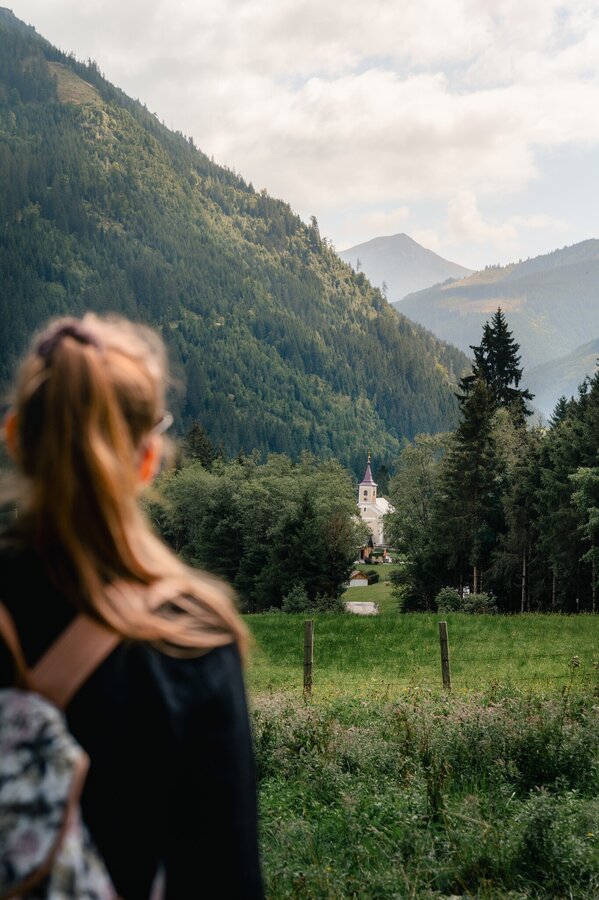
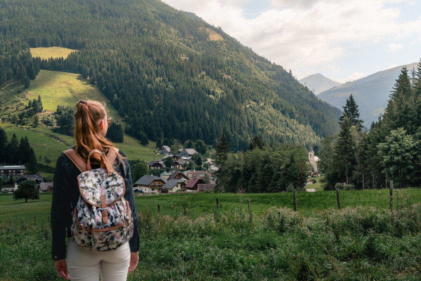
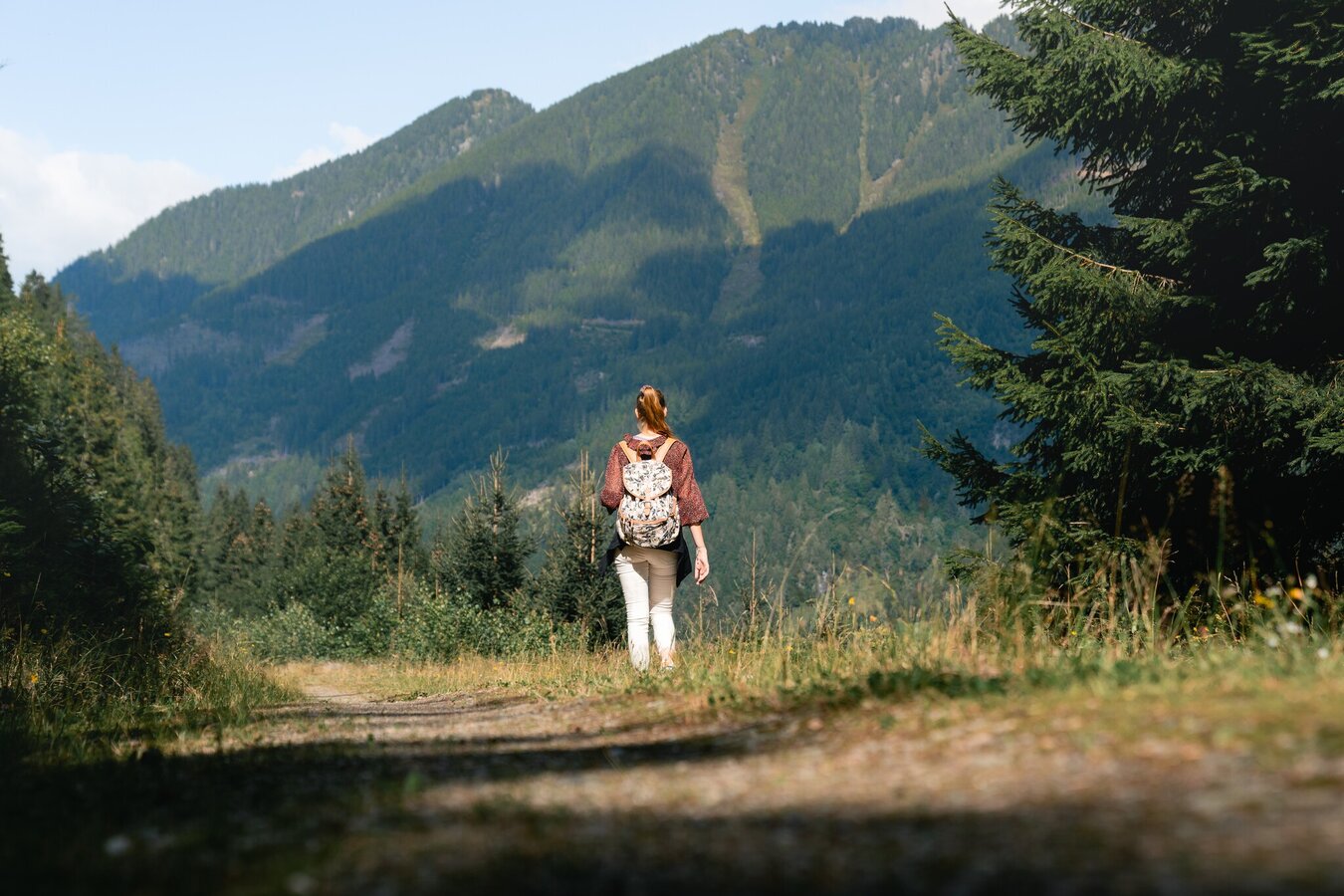
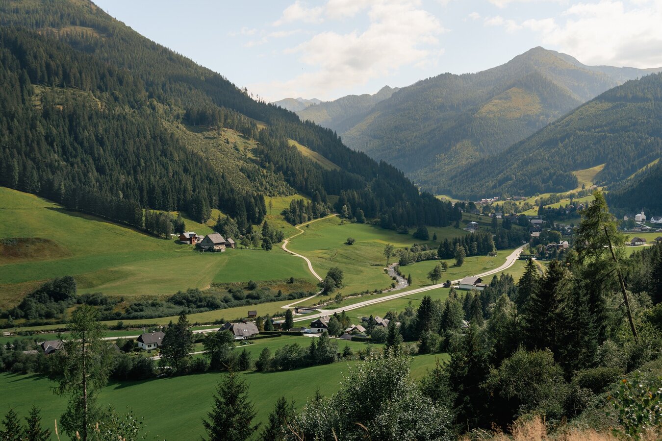
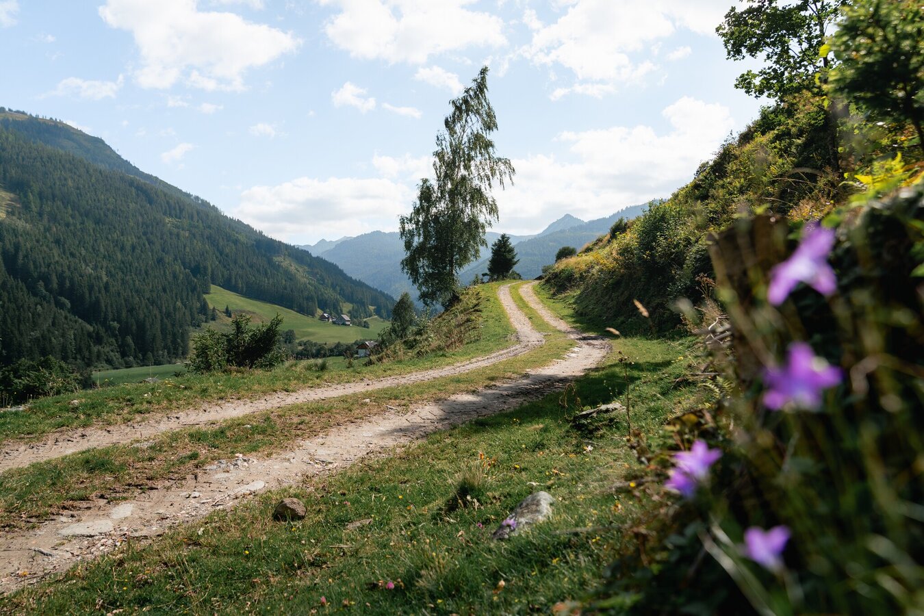
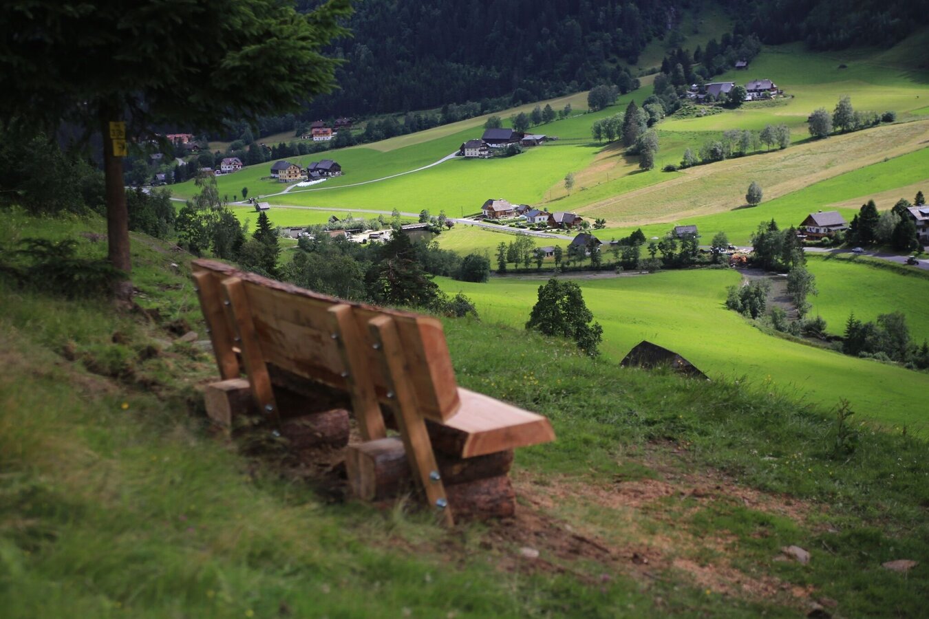
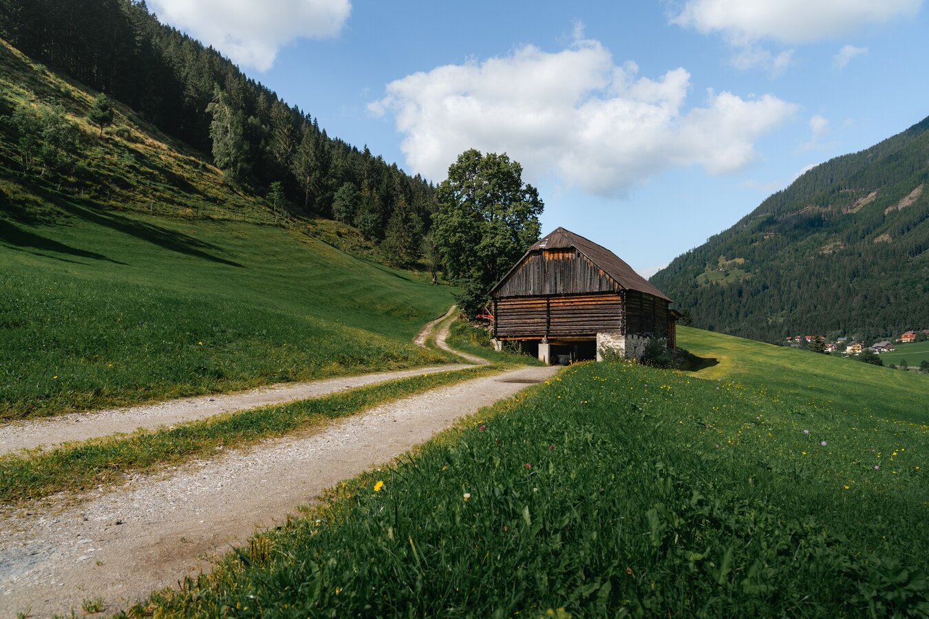
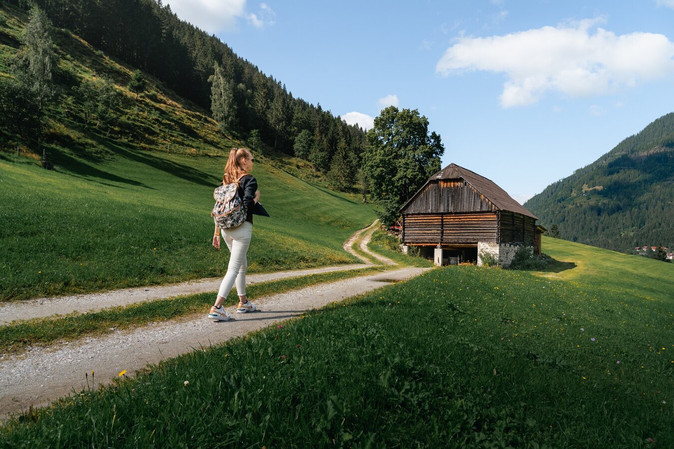
From the car park, first cross the bridge and then walk past the Stegerhof farm. Continue along the gravel path, which is also a toboggan run in winter, towards Mörsbachwirt. After approx. 400 metres, turn sharp right and follow the marked trail no. 7. After a short downhill section, turn left onto a forest road. Follow this for the next kilometre. After crossing the stream, turn right downhill and continue along the forest path out of the valley. Continue on trail no. 7 until you reach a forest road again. After the bend, continue straight ahead and then descend in small hairpin bends towards the main road. The way back is the same or along the main road.
Coming from the B320, at the Trautenfels intersection in the direction of Irdning. Then direction Donnersbach, Donnersbachwald.Free parking at the large parking lot in the center of Donnersbachwald.
Take the 941 bus to the "Donnersbachwald Ort" bus stop. There is also the starting point of the hike.
Bus schedule: www.verbundlinie.at
Bus schedule: www.verbundlinie.at
Attention: no bus connection to Donnersbachwald during the summer vacations!
The nearest train station "Stainach-Irdning" is about 22 kilometers away in Stainach.
Train timetable: www.oebb.at
- Let others know where you are going.
- Turn back in good time if the weather deteriorates. If you get caught in a thunderstorm, stay away from individual trees. Wait out the storm, if possible in a crouching position.
- Stay on marked trails and remember to close pasture fences.In case of emergency, keep calm and call the mountain rescue on 140. If you have no reception, take out the sim card and dial 112.
- If you encounter cows: It is best to pass above the herd with at least 50 meters distance. Stay calm, don't make any frantic movements and don't run away. Do not imitate cow sounds and do not try to pet the animals. A stick and loud shouting can often make the animals turn back in an emergency.
- If you are a dog owner: Clarify before the hike if you have to cross a pasture. Keep your dog on a leash and make sure he stays calm. If a cow attacks, let the dog off the leash immediately. Never pick him up to defend him.
A Gstanz'l should be sung. Have fun and enjoy yourselves and practise the traditional art of Gstanzl singing and poetry.
Tourismusinformation: www.schladming-dachstein.at
Tourismusverband Schladming-Dachstein
Ramsauerstraße 756
8970 Schladming
T: +43 3687 23310
info@schladming-dachstein.at
- SCHLADMING-DACHSTEIN Hiking map east. Available free of charge from tourist offices and accommodation providers.


