


Gröbminger Land
Source of Power Trail Pruggererberg
Walking Path
Data:
Tour description
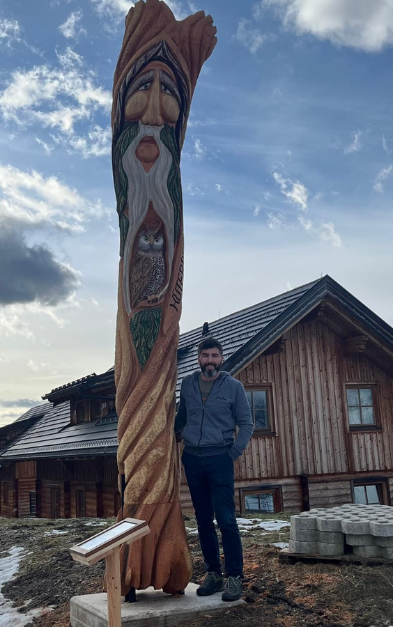
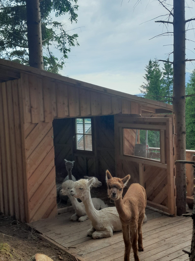
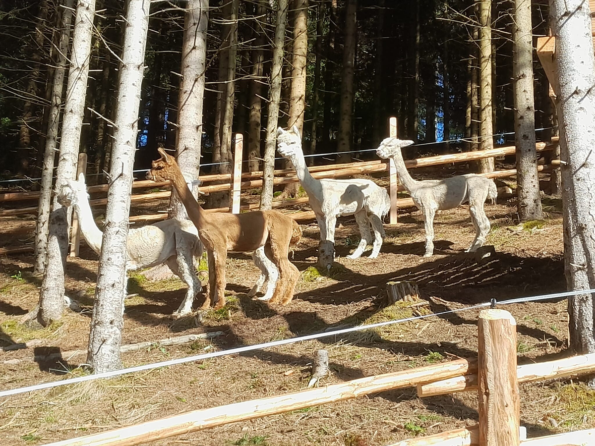
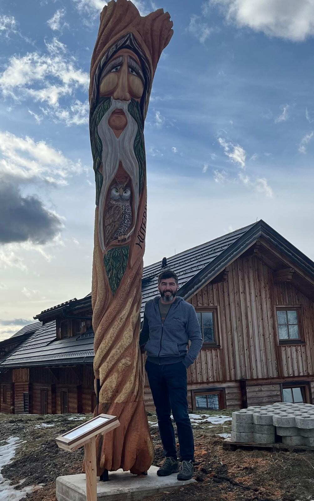
Embrace your inner harmony and stillness on this hike. The "Kraftquellenweg" (Source of Power Trail), created by Michael Stückelschwaiger, features various sculptures that invite you to pause and reflect. Near an alpaca enclosure, you'll encounter these calming animals from the Andes. Furthermore, some of the sculptures and resting places are situated in special locations where you can feel the primal power of nature, inviting meditation and inner peace. Enjoy the magnificent views, the tranquility, and the unique atmosphere of these energy spots on Pruggererberg.
The tour
easy
Starting and end point
Parking lot at the Galsterbergalm cable car valley station
Tour characteristics
Fitness (2/6)
Skills (2/6)
Information
Distance: 3.8 km
Duration:
1:20 h
Ascent: 140 m
Descent: 140 m
highest point: 1255 m
Best season
Jan
Feb
Mar
Apr
May
Jun
Jul
Aug
Sep
Oct
Nov
Dec
Map, elevation profile & further information
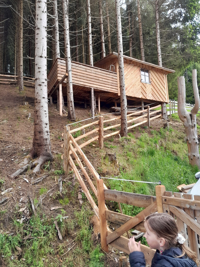
The Kraftquellenweg is a leisurely hike for the whole family. From the Galsterberg valley station, the circular route leads you uphill through the Hüttendörfer to the Panorama Trail 100. Follow this trail briefly westwards and then continue along the circular route across fields and through a short stretch of forest. Passing the Hirz and Hochegger farms, you'll return to the starting point at the parking lot by the Galsterbergalm cable car valley station.
In Pruggern, take the B320 Ennstal federal highway and continue towards Pruggererberg/Galsterbergalm. Continue to the valley station of the Galsterbergalm cable car, where parking is available.Parking lot at the Galsterbergalm cable car valley terminal.


