

Gröbming-Winkl-Runde (12km)
Tour description
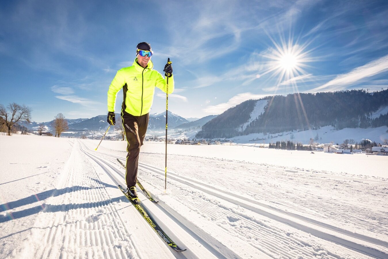
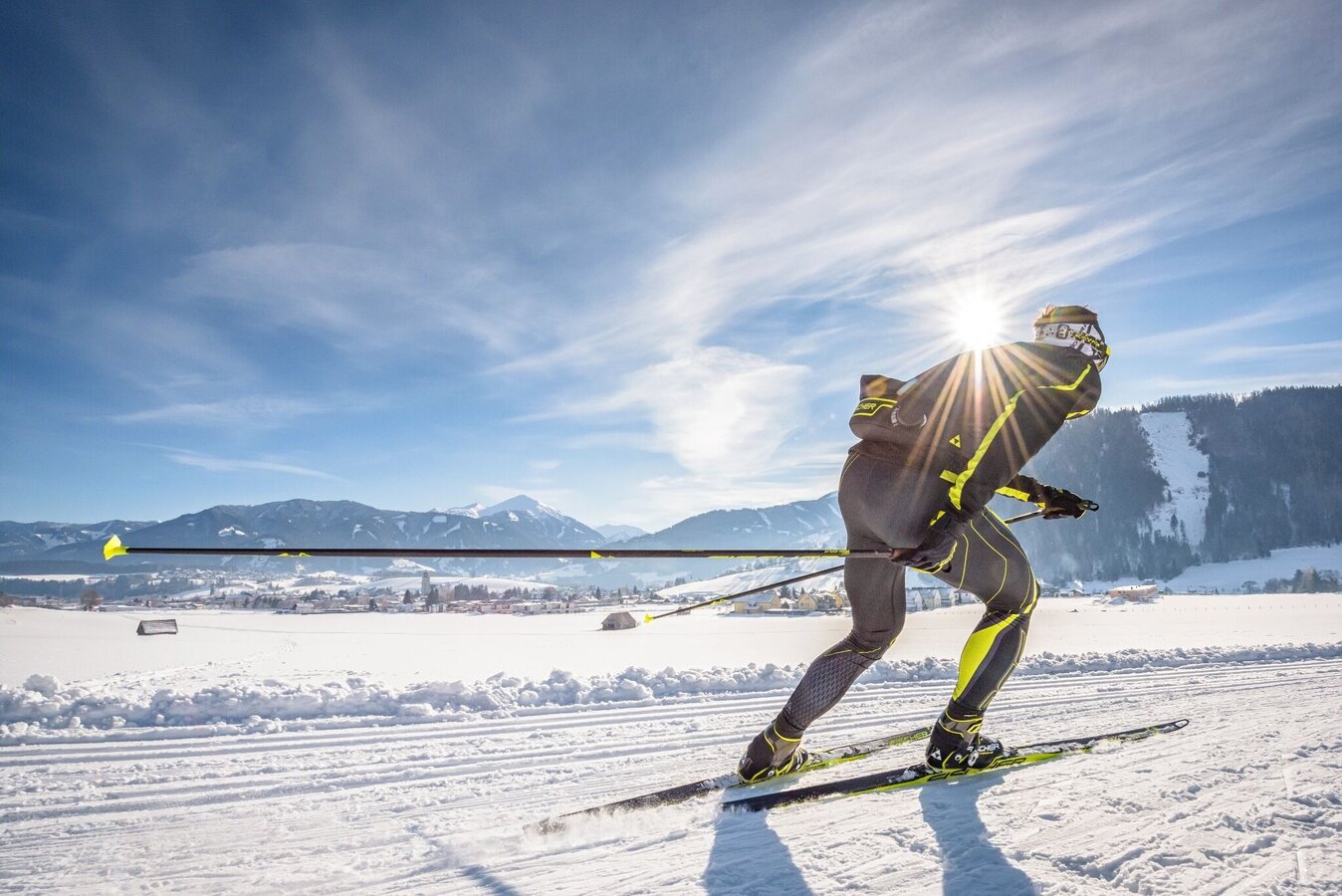
Beautiful landscapes and well-groomed cross-country ski runs invite you to enjoy a very special kind of winter fun. With good snow conditions and suitable weather, the trails are regularly prepared for classic style and skating.
The tour
Map, elevation profile & further information
For the starting point Poststraße:
Take the Gröbming West exit and follow the main road over the roundabout. Before the Sparkasse turn left into Poststraße. The Poststraße parking lot is on the left-hand side. Turn right at the next crossroads and walk approx. 200 m along Schulstrasse at the Steinhauserweg junction on the left-hand side.
For the Red Cross starting point:
Take the Gröbming Ost exit and at the roundabout take the 2nd exit onto the northern bypass and then turn right onto the MEZ car park. The trail starts about 150 m along the road at the Red Cross location.
Public parking spaces in the Poststrasse, alternatively parking lot MEZ.
Take bus line 900 to Gröbming bus station (starting at Poststrasse) or to the fire brigade depot stop (starting at Red Cross).
The trail starts at the Poststraße/Steinhauserweg junction or next to the Red Cross office.
Safety information
Safety on the mountainside: changes in the weather, sudden fall in temperature, thunder storms, wind, fog and snow fields are all objective dangers and require the correct behaviour whilst underway. the landlords of the huts are all very knowledgeable about the mountains and can give you good tips about the weather and the routes. Insufficient equipment, exaggerated opinion of ones capabilities, frivolousness, poor health condition and a false evaluation of the situation can lead to a critical situation. In thunder storms: summits, crest-sites and safety rope aids are to be avoided.
If something should happen call following emergency numbers:
- No. 140 - the number for all Alpine Emergencies in all of Austria
- No. 112 - European emergency call GSM emergency-call-service
Winter map Schladming-Dachstein "Mitte", available at the tourist offices in the Schladming-Dachstein region.


