


Ramsau am Dachstein
Capercaillie Themed Trail – Rittisberg
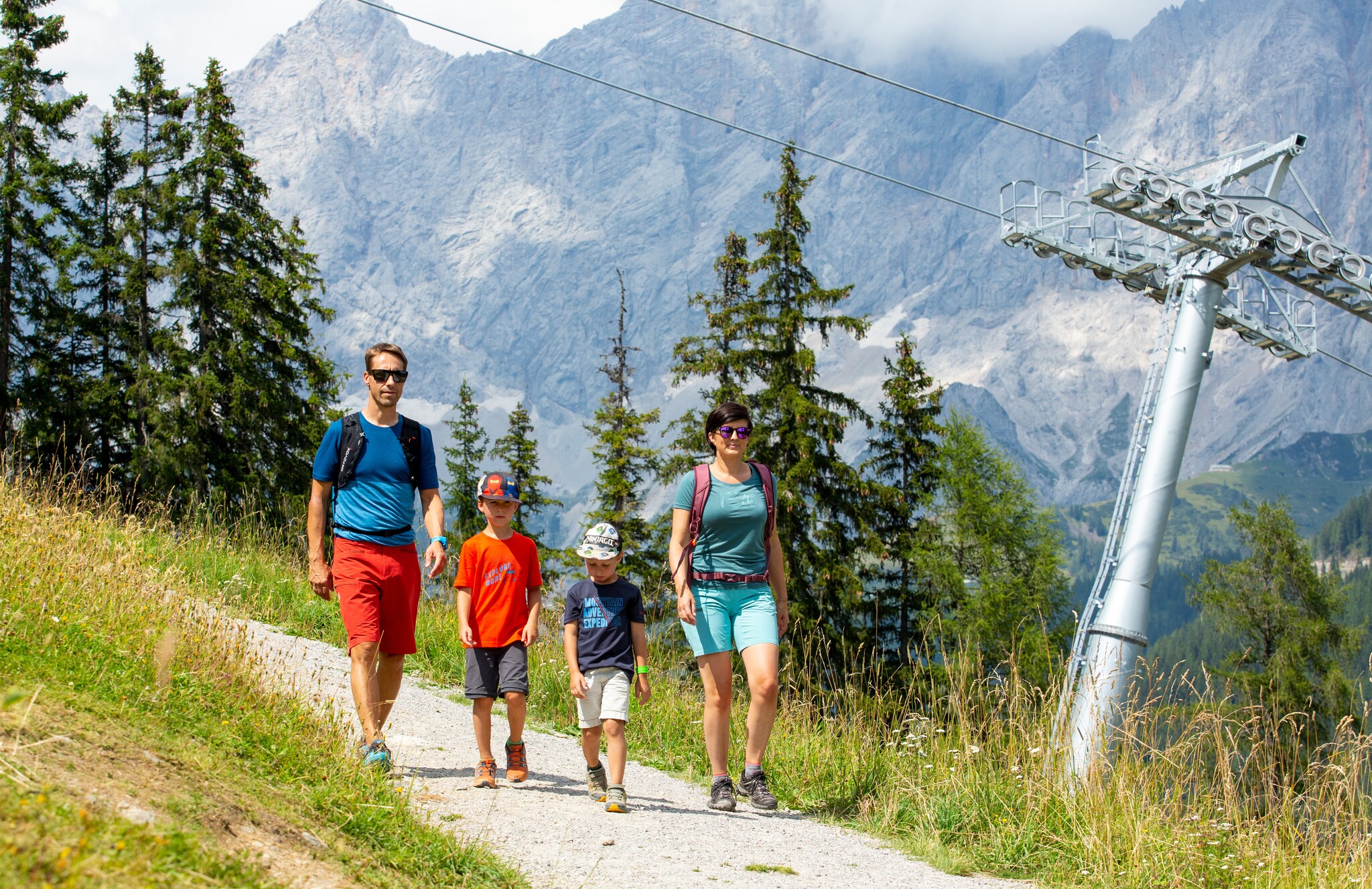
Family hiking trails
Data:

copyright: Hans-Peter Steiner

copyright: Photo Austria - Hans-Peter Steiner

Tour description
Rittisberg is one of the largest breeding areas of the capercaillie in Europe. On this family-friendly themed trail, you will discover what the bird looks like, the footprints it leaves in the snow, its breeding behavior, and the type of habitat it prefers. The trail begins right next to the “I love Rittisberg” mountain playground and leads you from one information board to the next. The answers to the quiz questions can be found at the end of the trail.
The tour
easy
publicly accessible
Starting and end point
Rittisberg Mountain Station
Tour characteristics
Distance: 0.3 km
Fitness (2/6)
Information
Distance: 0.3 km
Duration:
15 min
Ascent: 10 m
Descent: 10 m
highest point: 1493 m
Best season
Jan
Feb
Mar
Apr
May
Jun
Jul
Aug
Sep
Oct
Nov
Dec
Map, elevation profile & further information
From the Rittisberg mountain station, you walk around the “I love Rittisberg” mountain playground, moving from one information board to the next. The answers to the quiz questions can be found at the end of the themed trail.
From the West:
Take the Tauern Motorway (A10) to the Ennstal junction – exit towards Graz/Schladming – continue for approx. 20 km on the Ennstal federal road to Schladming – turn off towards Ramsau.
From the North:
Take the Pyhrn Motorway towards Liezen, then continue on the Ennstal federal road to Schladming – turn off towards Ramsau.
Timetable available at:www.rvb.at
Basic equipment:
- Sturdy, non-slip shoes (light hiking boots or good sports shoes with grip)
- Comfortable, weather-appropriate clothing
- Small backpack
- Enough water
- Sun protection (cap, sunglasses, sunscreen)


