To the Lärchkar Alm and Stalla Alm
Tour description
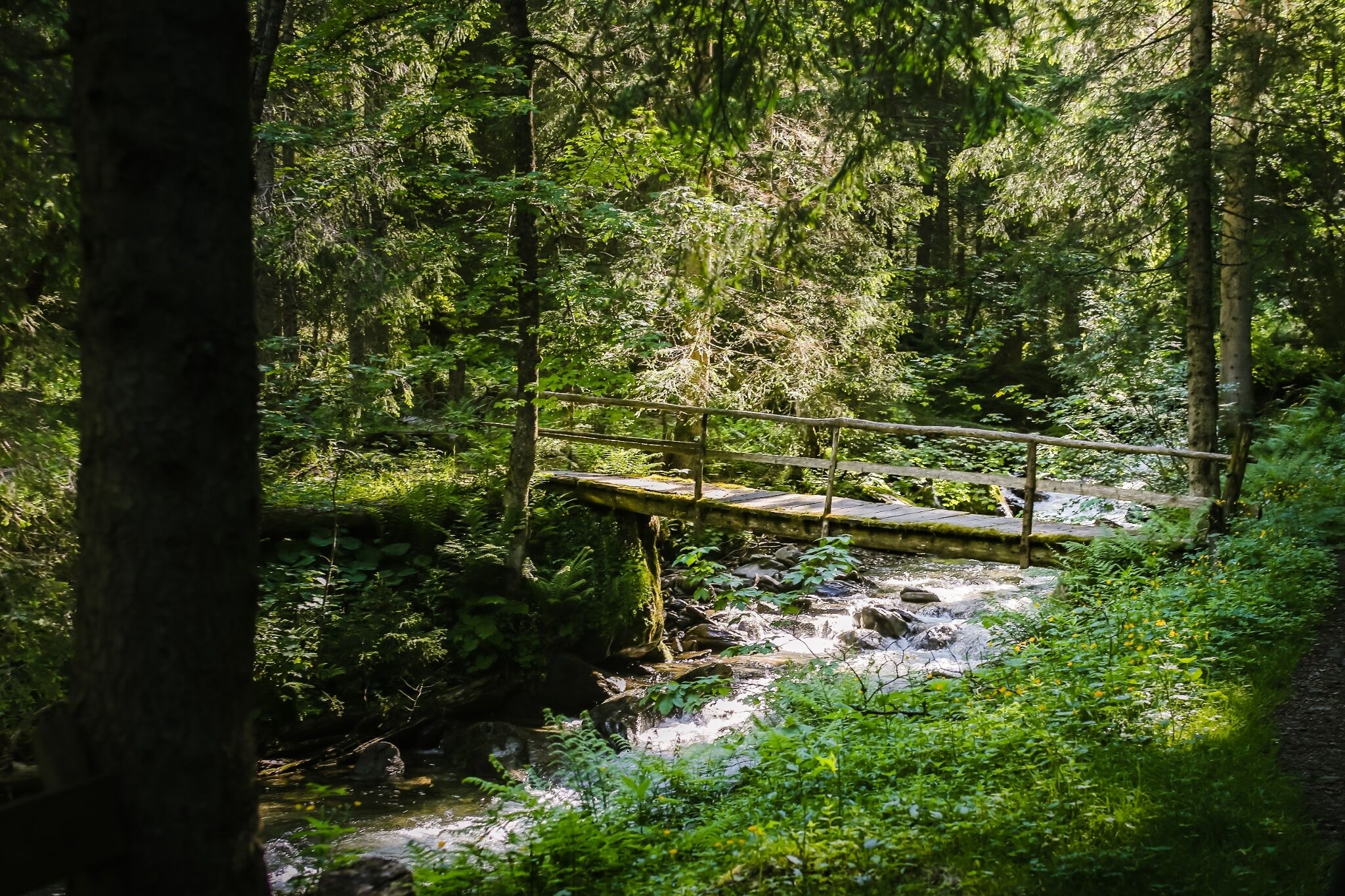
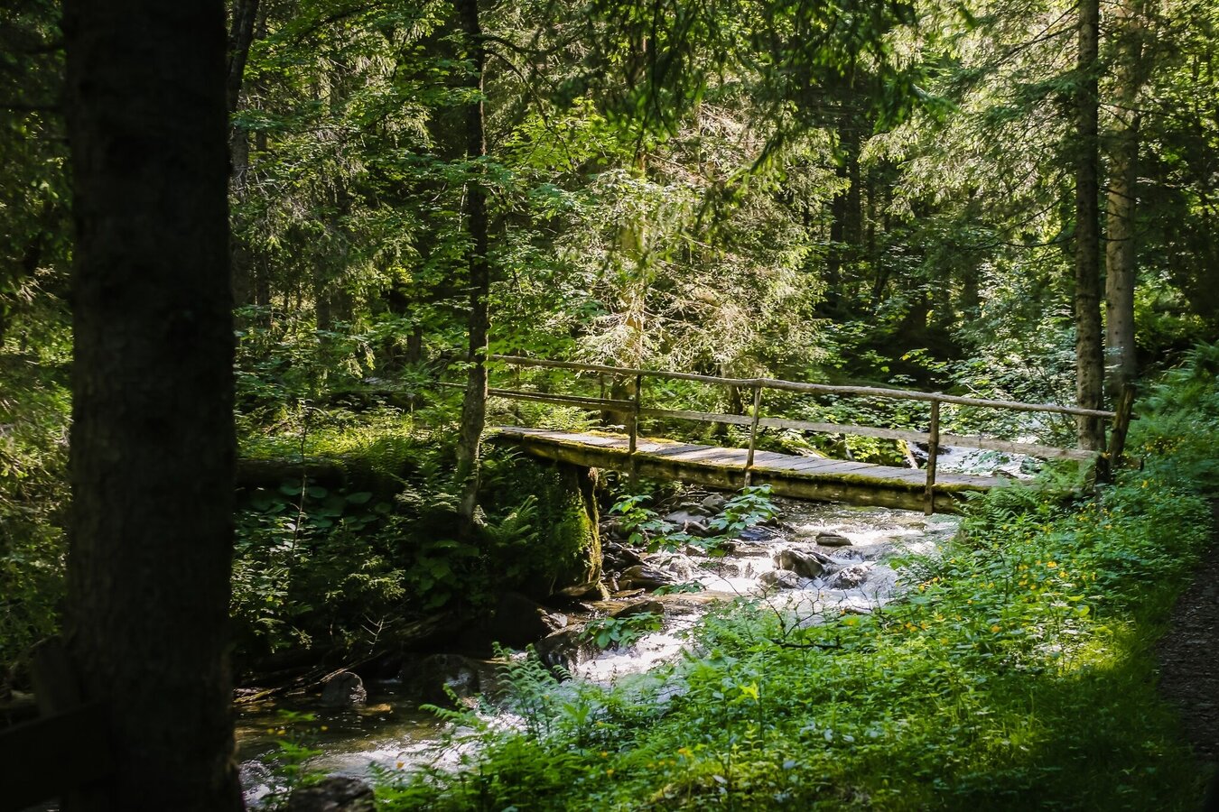
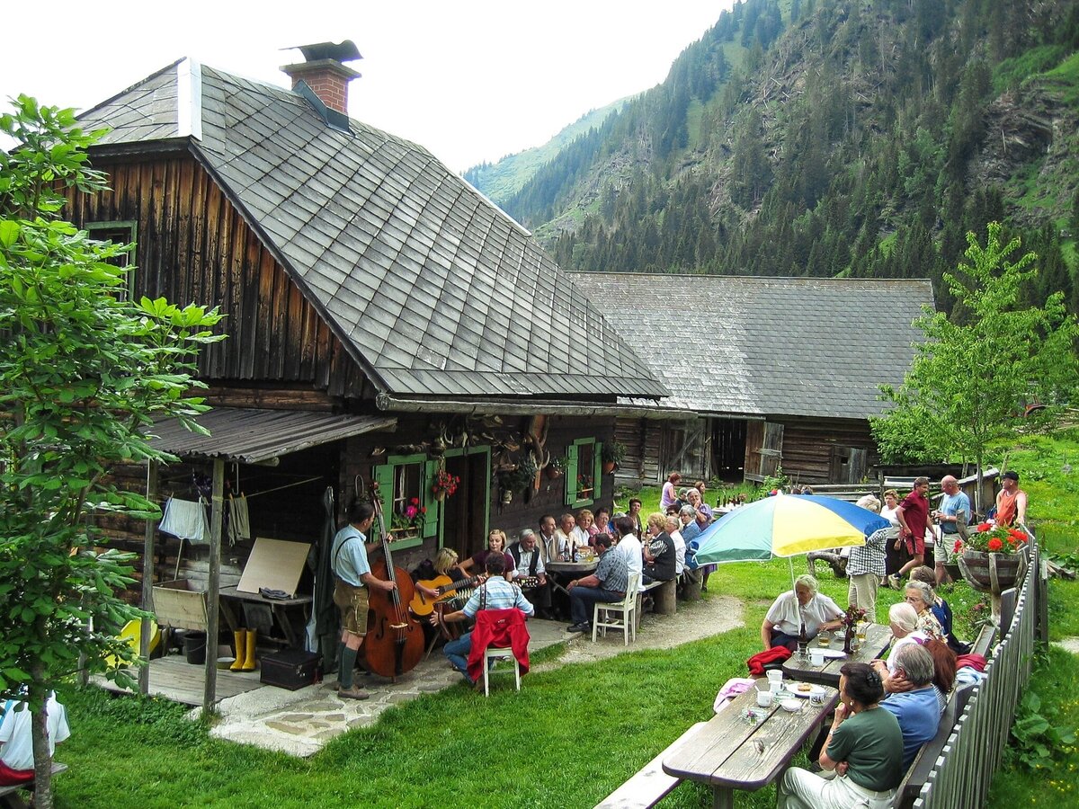
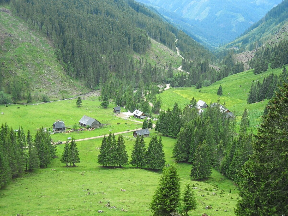
The Lärchkarbach flows into the Donnersbach near the village of Hinterwald. We’ll follow the Donnersbach to Glattjoch; to reach the Lärchkaralm and the Stallaalm, we’ll hike up a slight incline through romantic forest terrain. Tons of tiny streams from the steep slopes of the Schreinl (the dominant mountain in this valley, at 2,145 meters) flow into the stream and even take on the form of waterfalls just before the Lärchkaralm. The hut is located in a drawn-out alpine pasture near the confluence of the Siebenhüttenbach and Goldbach, which combine to create the Lärchkarbach.For those interested in visiting the Stalla Alm, just continue to follow the alpine road along the Goldbach. The Stalla Alm is a high alpine pasture with an impressive cirque as its backdrop, and the routes that continue on beyond it eventually lead to the Planneralm. As always, refreshments and other homemade farm products are available at the huts. We will take the same path back down the mountain that we followed up.
The tour
Map, elevation profile & further information
Parking area Hinterwald resort village
Mit dem Bus 941 bis zur Endhaltestelle "Riesneralm Christerbauer". Von dort in ca 50 Minuten zum Ausgangspunkt der Wanderung.
Achtung! Keine Busverbindung in den Sommerferien.
Busfahrplan: www.verbundlinie.at
Der nächstgelegene Bahnhof "Stainach-Irdning" befindet sich ca. 22 Kilometer entfernt in Stainach.
Bahnfahrplan: www.oebb.at
Taxi Ennstal, T +43 660 6633666
Sturdy shoes, rain gear
Safety information
Safety on the mountainside: changes in the weather, sudden fall in temperature, thunder storms, wind, fog and snow fields are all objective dangers and require the correct behaviour whilst underway. the landlords of the huts are all very knowledgeable about the mountains and can give you good tips about the weather and the routes. Insufficient equipment, exaggerated opinion of ones capabilities, frivolousness, poor health condition and a false evaluation of the situation can lead to a critical situation. In thunder storms: summits, crest-sites and safety rope aids are to be avoided.
If something should happen call following emergency numbers: No. 140 - the number for all Alpine Emergencies in all of Austria No. 112 - European emergency call GSM emergency-call-service
- GRIMMING-DONNERSBACHTAL Freizeitkarte (1:31.000). Kostenlos erhältlich in den Tourismusbüros und Beherbergungsbetrieben.
- SCHLADMING-DACHSTEIN Wanderkarte (1:50.000)