Grimming-Donnersbachtal
Go in yourself way
Hiking trail
Data:
copyright: Schladming Dachstein - TVB Grimming-Donnersbachtal
copyright: Schladming Dachstein - TVB Grimming-Donnersbachtal
copyright: Schladming Dachstein - TVB Grimming-Donnersbachtal
copyright: Schladming Dachstein - TVB Grimming-Donnersbachtal
copyright: Schladming Dachstein - TVB Grimming-Donnersbachtal
copyright: Schladming Dachstein - TVB Grimming-Donnersbachtal
copyright: Schladming Dachstein - TVB Grimming-Donnersbachtal
Tour description
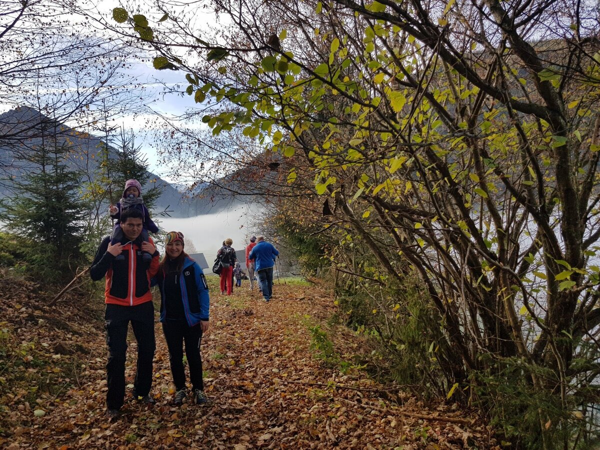
- The Geh-in-Dich-Weg is a hiking trail for body, mind and soul and is intended to encourage reflection on our living and dying as well as coming and going.
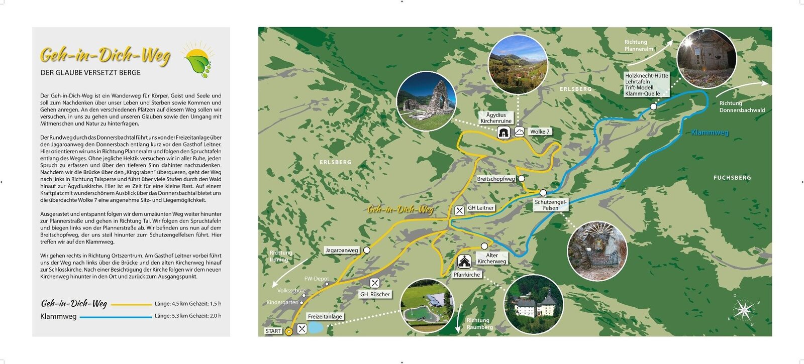
- The circular trail leads us along the Donnersbach via the Jagaroanweg, then up the Planneralmstraße.
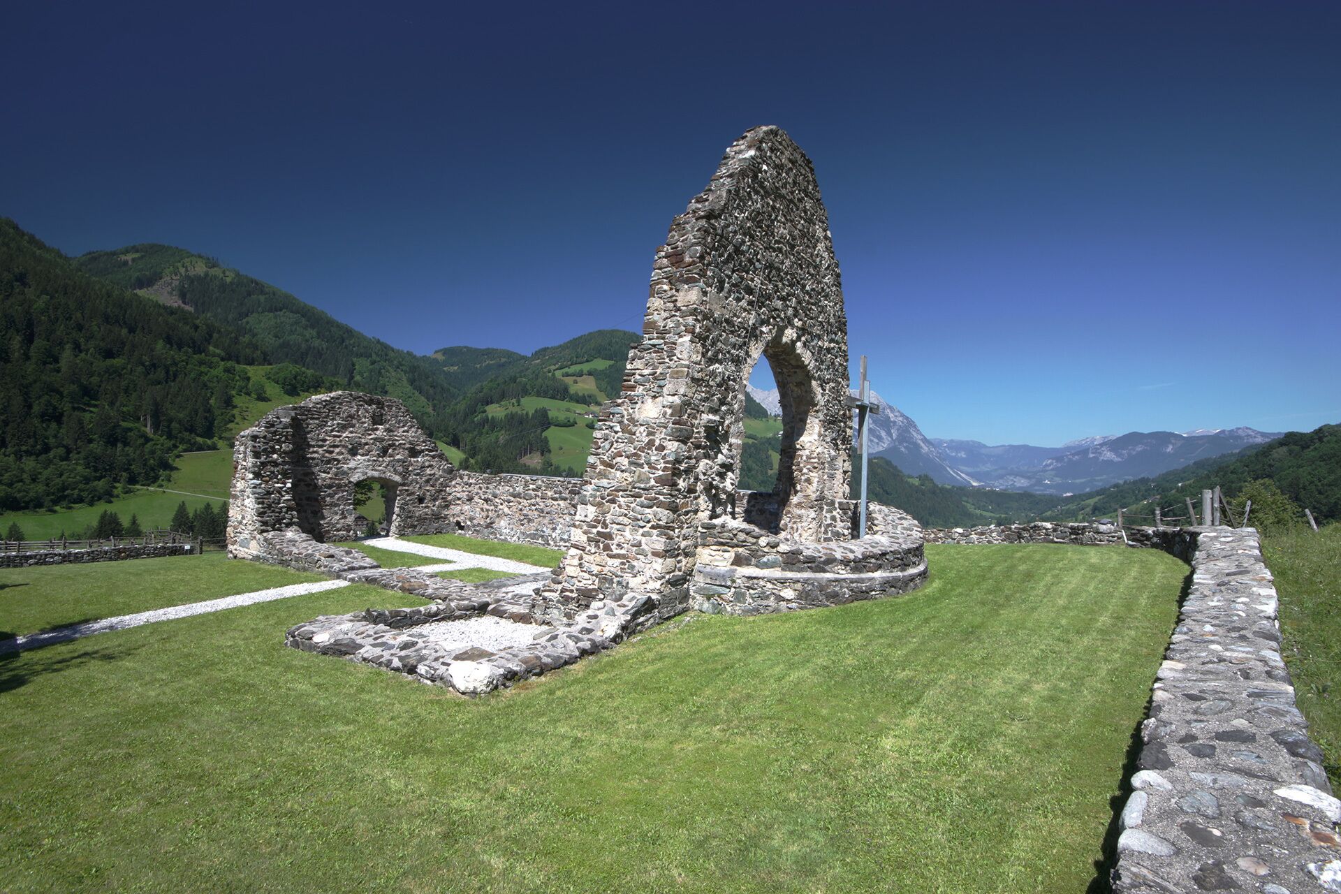
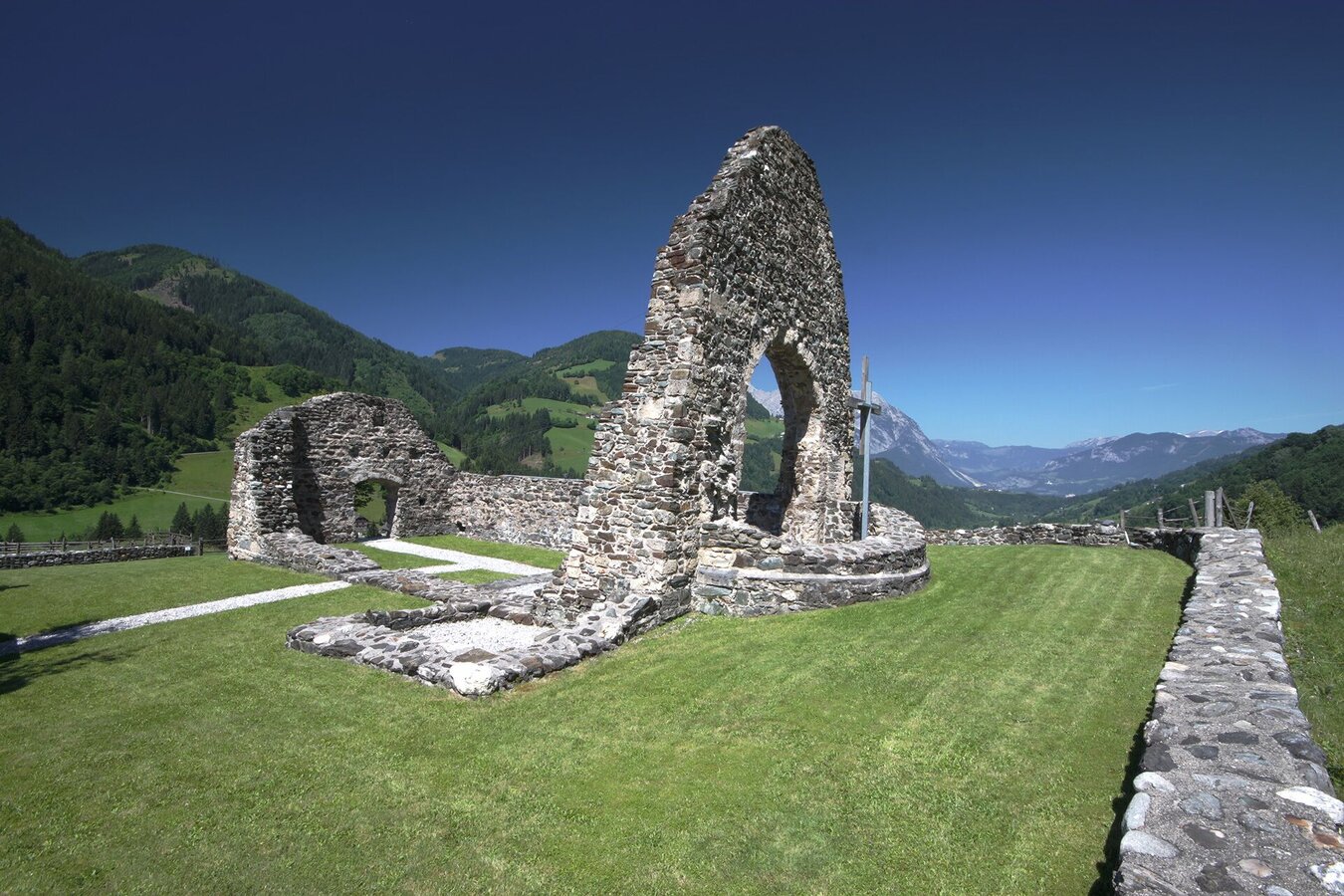
- After the bridge over the "Kirggraben", the path turns left in the direction of the dam and leads up many steps through the forest to the Ägydius church. This Krafplatz offers itself for a small rest.
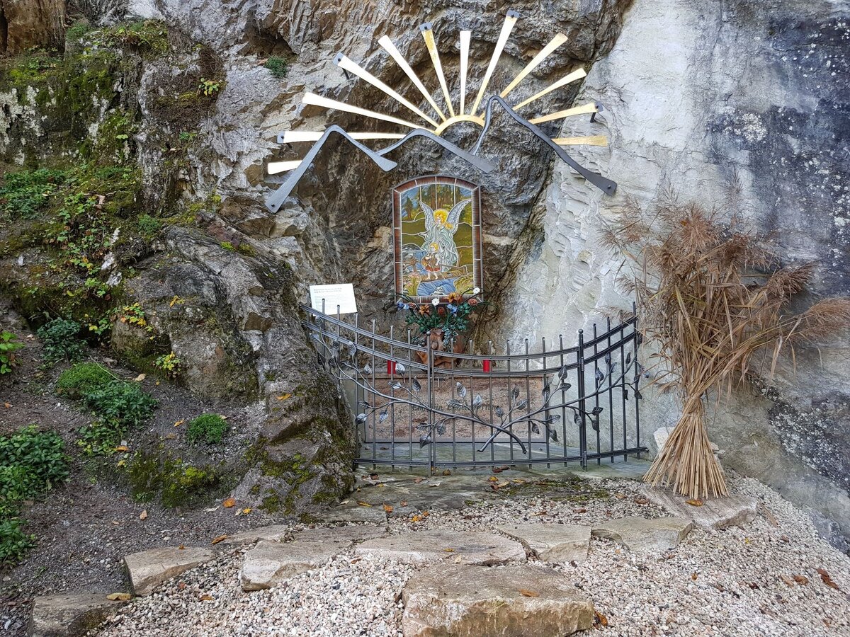
- We follow the path further down to Plannerstraße in the direction of the valley. We follow the saying boards and turn left from Plannerstraße. The Breitschopfweg leads us steeply down to the Schutzengelfelsen. Here we meet the Klammweg.
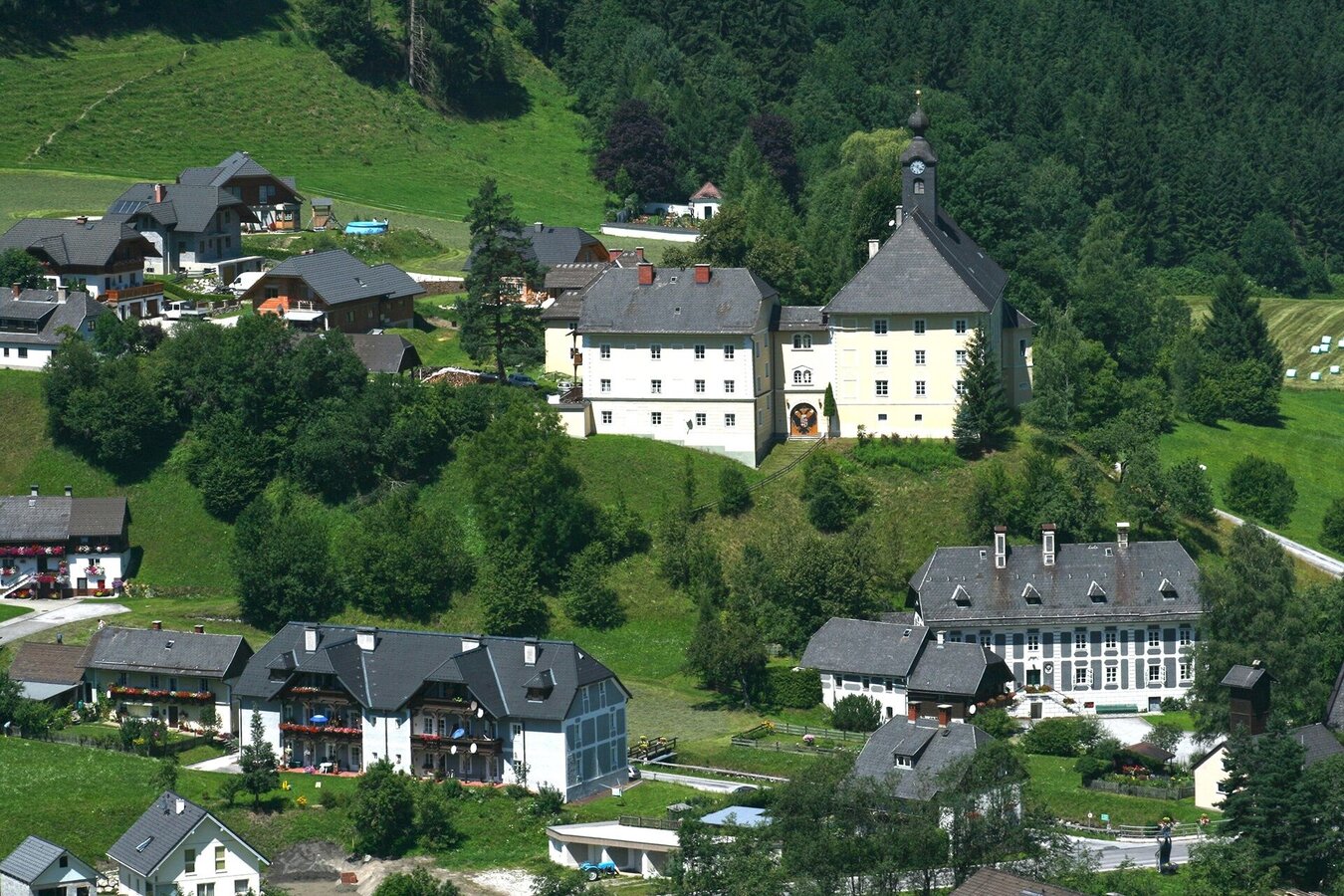
- Continue to the right in the direction of the village center, past Gasthof Leitner, left over the bridge and immediately left again over the next one, then right up the old Kirchenweg to the castle church. Then take the new Kirchenweg down to the village and back to the starting point.
The tour
easy
Starting point
leisure park- swimming lake Donnersbach
Destination
At the start point
Tour characteristics
Distance: 4.6 km
Fitness (2/6)
Skills (2/6)
Information
Distance: 4.6 km
Duration:
1:30 h
Ascent: 155 m
Descent: 155 m
highest point: 815 m
Best season
Jan
Feb
Mar
Apr
May
Jun
Jul
Aug
Sep
Oct
Nov
Dec
Map, elevation profile & further information
Shoes with a light tread and something to drink.
- Let others know where you are going and when you want to be back
- Turn back in good time if the weather deteriorates. If you get caught in a thunderstorm, stay away from free-standing trees and wait out the storm, preferably in a crouched position.
- Stay on the marked paths and remember to close pasture fences.
- If you are a dog owner: clarify before the hike whether you need to cross a pasture. Keep your dog on a lead and make sure it behaves calmly. In the event of a cow attack, let your dog off the lead immediately. Never pick him up to defend him.
- The ruins of the Ägidius church, a place of power.
- The guardian angel rock when we meet the ravine path.
- The castle church is worth a visit.
Tourist Office Schladming-Dachstein
Ramsauerstrasse 756
8970 Schladming
T: +43 3687 23310
info@schladming-dachstein.at
- SCHLADMING-DACHSTEIN Hiking Map East. Available free of charge from tourist offices and accommodation providers.