
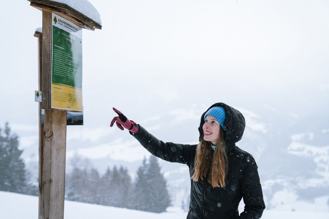
Winter hike tree horoscope trail (Baumhorosokopweg)
Tour description
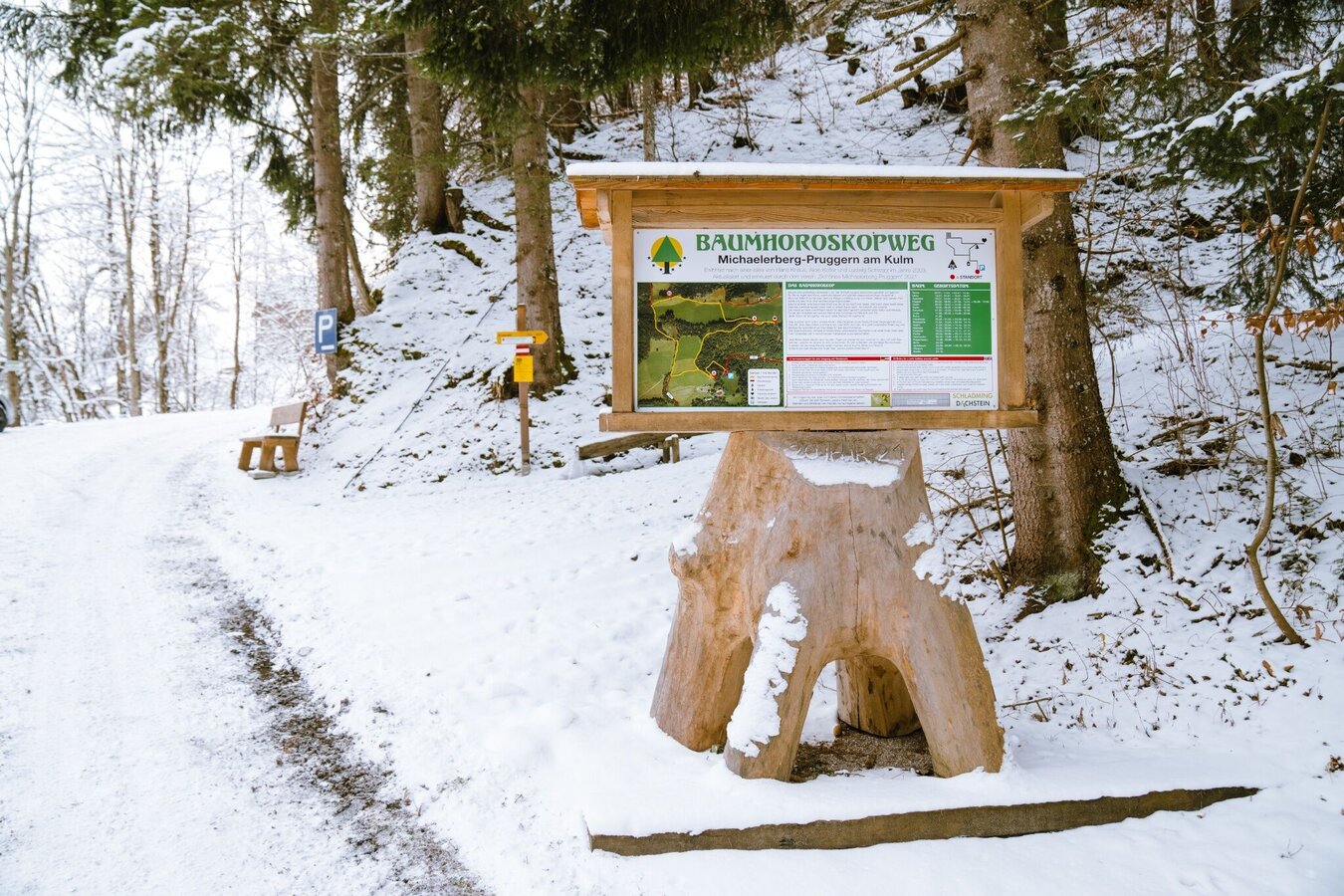
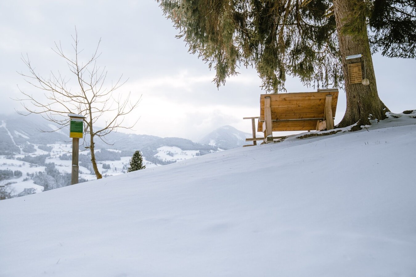
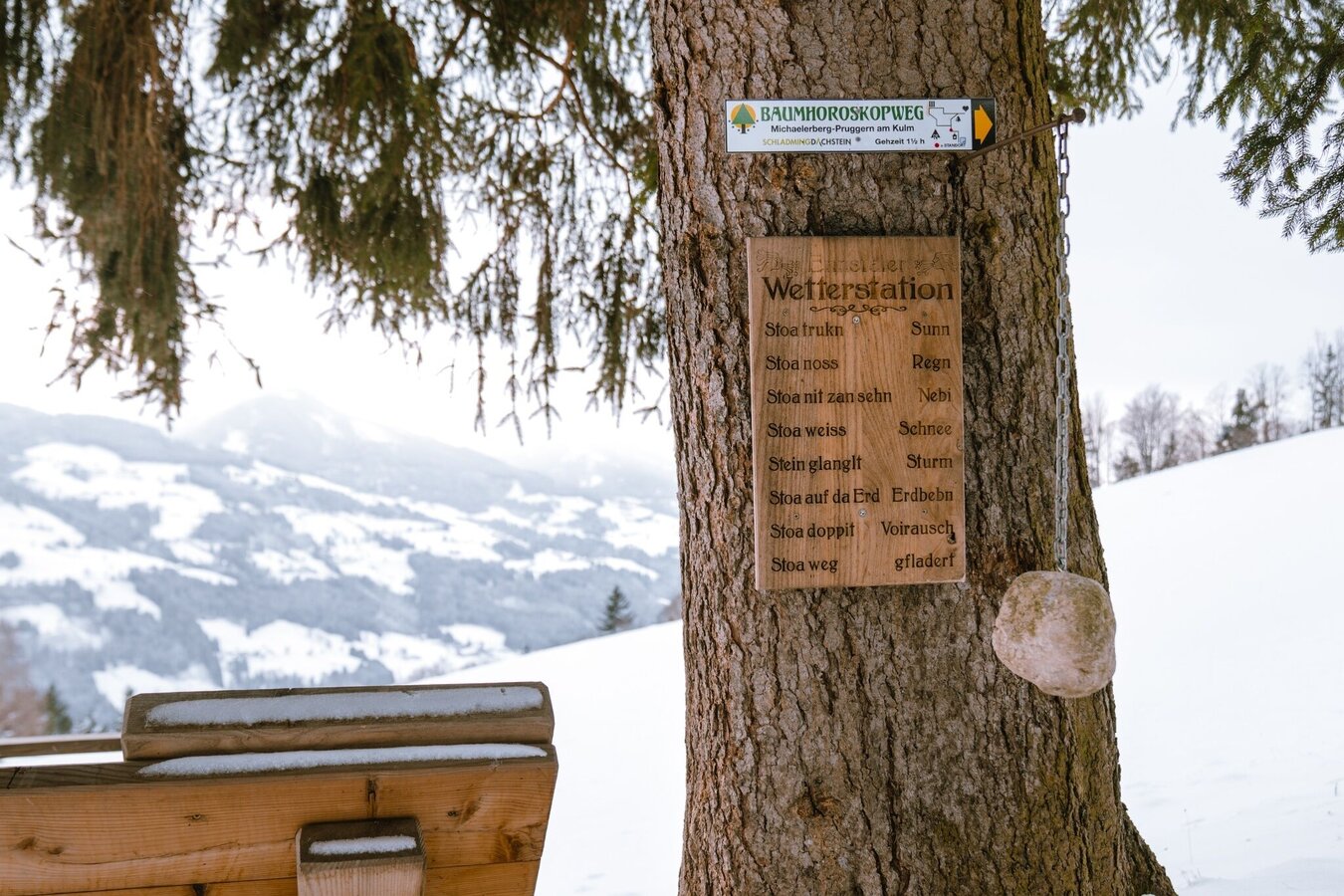
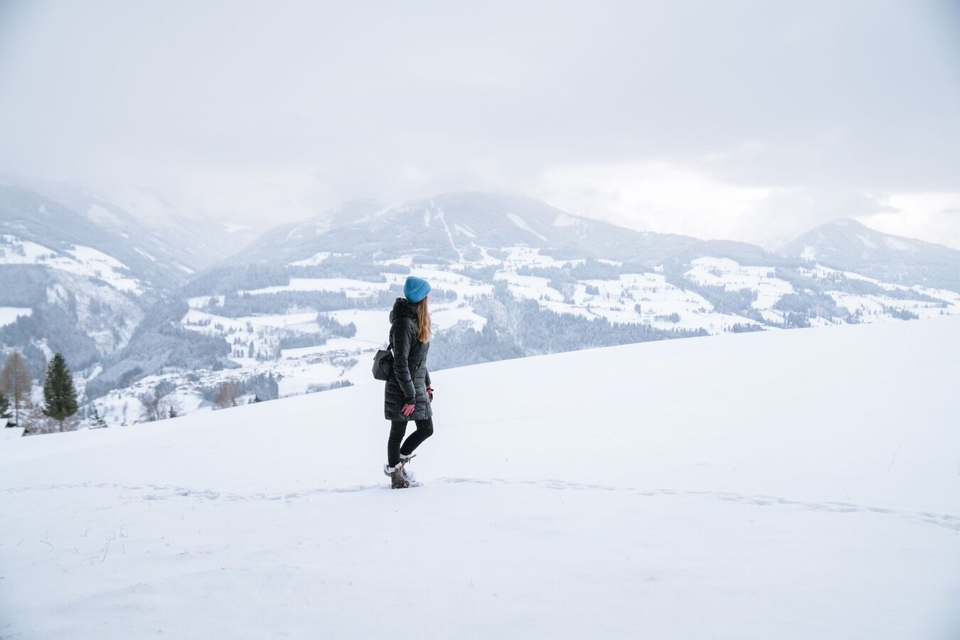
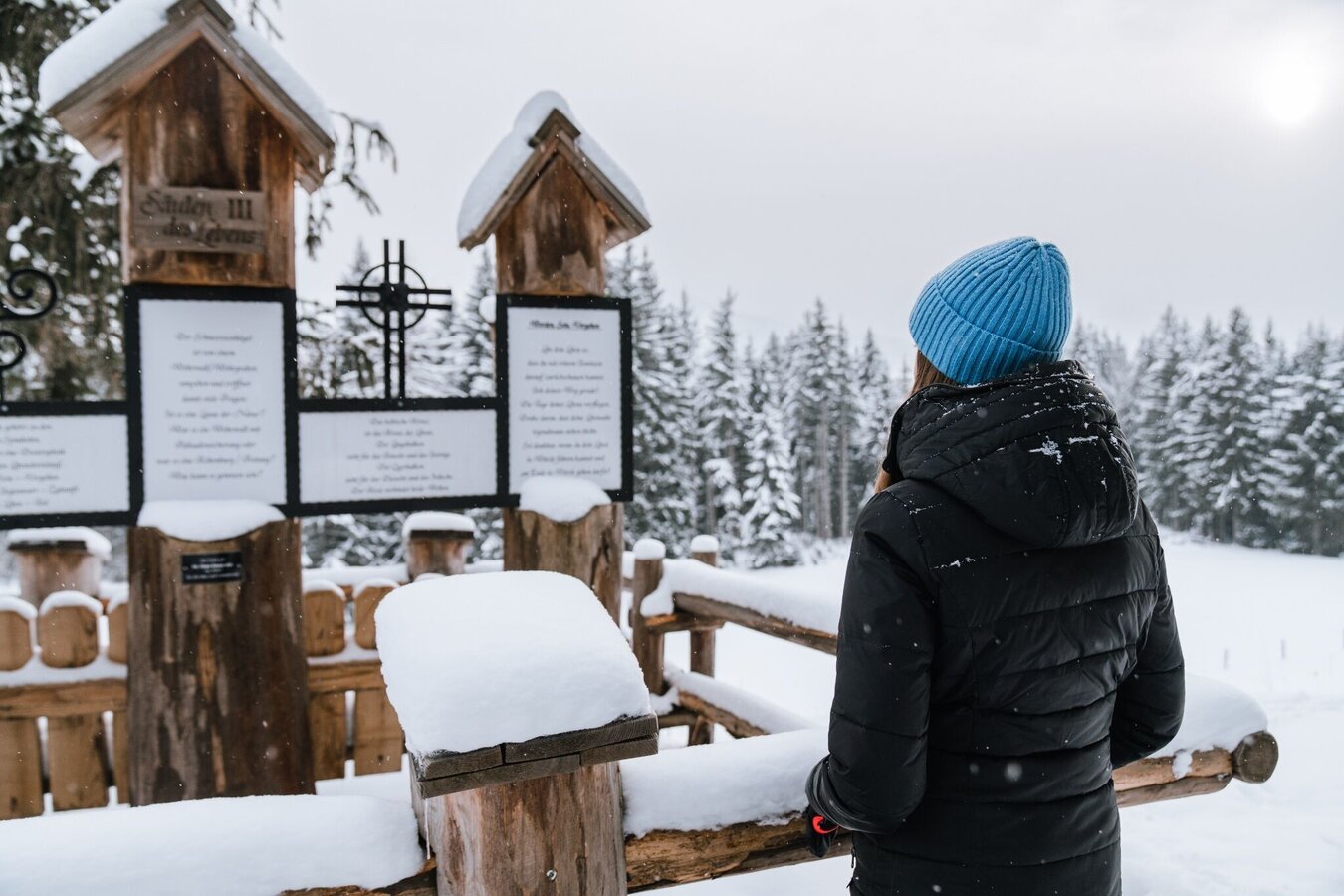
Find out more about your "tree sign" on the Baumhoroskopweg. From the top at Kulm you have a breathtaking view over the surrounding mountains Stoderzinken, Kamm and Grimming. The Peace Bell (Friedensglocke), Stöckelbergalm (not managed) and the "pillars of life" are some of your way points.
The tour
Map, elevation profile & further information
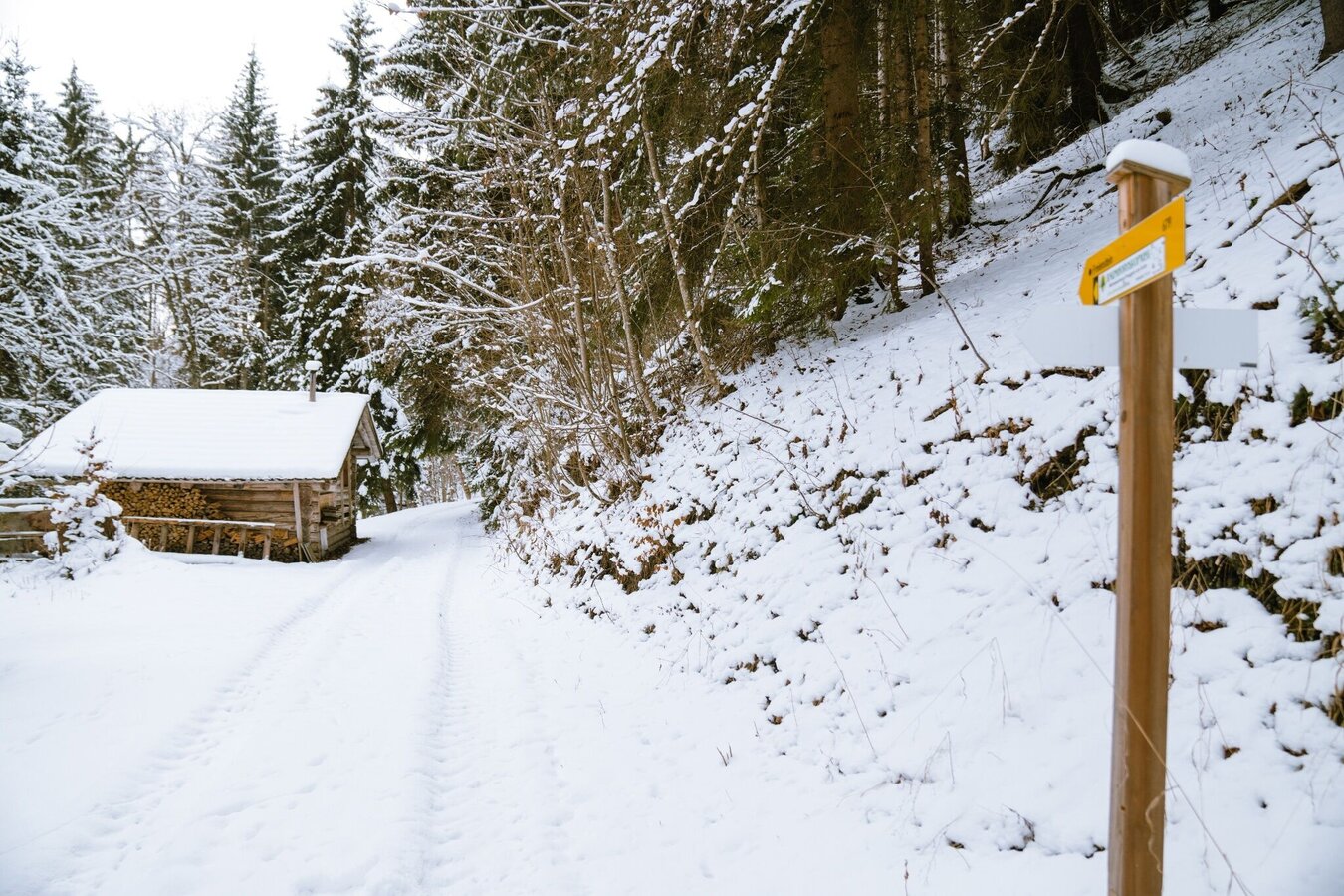
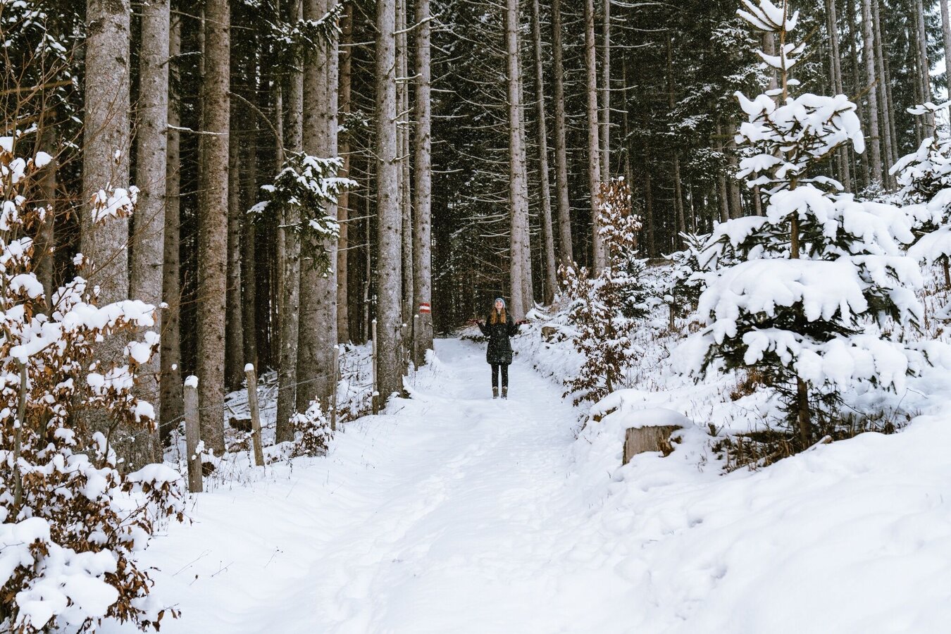
Bei guten Schneeverhältnissen gehts mit guten Winterschuhen oder Schneeschuhen und Skistöcken unterhalb des Ackerlhofs rechts die Forststraße hinauf. Es geht den Waldrand entlang durch den Wald hinauf bis zu einer Lichtung. Von hier aus hat man eine atemberaubende Aussicht auf die umliegenden Berge Stoderzinken, Kamm und Grimming. Rechts weiter gelangt man zur Friedensglocke. Danach quert man die Wiese zur Stöckelbergalm (nicht bewirtschaftet). Man folgt den Schautafeln bis zum Schneerosenhügel. Dort geht es wieder hinab und zurück zum Ausgangspunkt.
From Gröbming a few hundred meters on the B320 federal highway into the direction of Schladming. Exit Kulm to the car park under the Ackerl farm.
Parking area at the farmhouse Ackerl
No public arrival possible.
Your equipment should ideally include:
- Ankle-high, warm shoes. Waterproof, warm shoes with a treaded sole are ideal. Optional: Gaiters for additional snow protection.
- A hood and warm clothing, ideally layered. Don't forget a change of clothes for longer winter hikes: a wind and waterproof jacket and trousers.
- A small backpack with a warm drink in a thermos and snacks as needed
- Sun protection
- Cell phone
- First aid kit
- Optional: crampons/snow spikes (snow chains for shoes), telescopic hiking poles for better grip and balance.
Bei größerer Schneelage empfehlen wir Schneeschuhe.
Infos & Auskunft: +43 3687 23310
Wintererlebniskarte "MITTE" der Region Schladming-Dachstein, erhältlich in den Infobüros der Region.


