
Rotmandlspitze: auf den Spuren der Bergknappen

Tour description
The tour
Map, elevation profile & further information
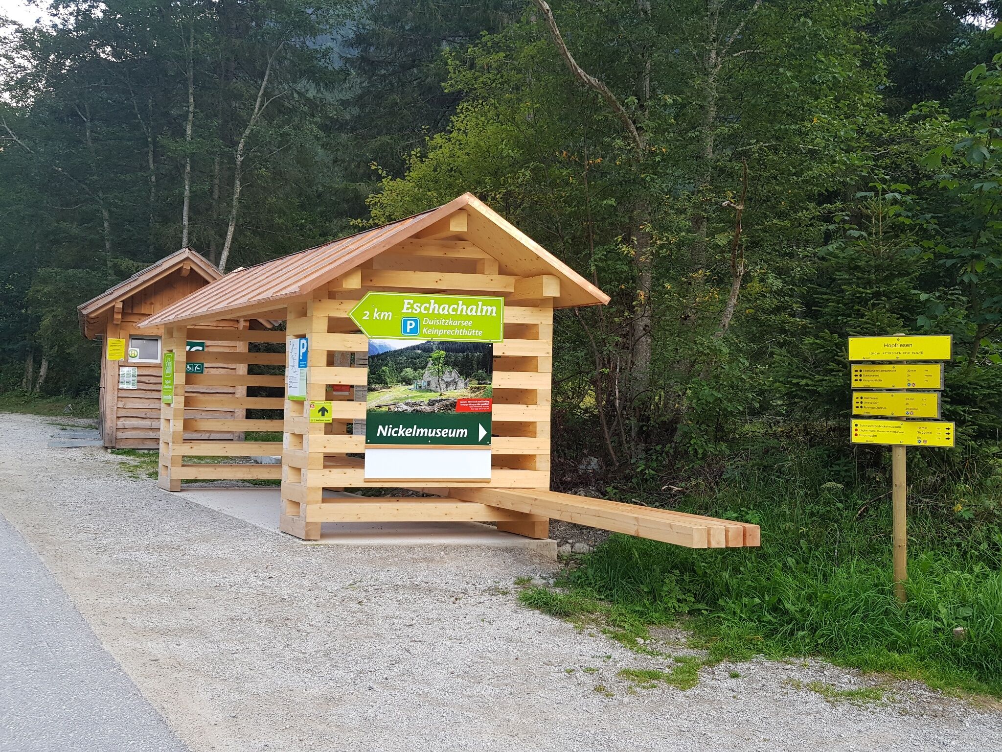
You can easily reach the starting point in Hopfriesen with the hiking bus. From the hiking portal, take trail no. 776 in the direction of the Giglachseen lakes. Right at the start, it is worth making a detour to the nickel museum in Hopfriesen (+ 5 minutes' walk), the only preserved nickel smelting furnace in the Eastern Alps.
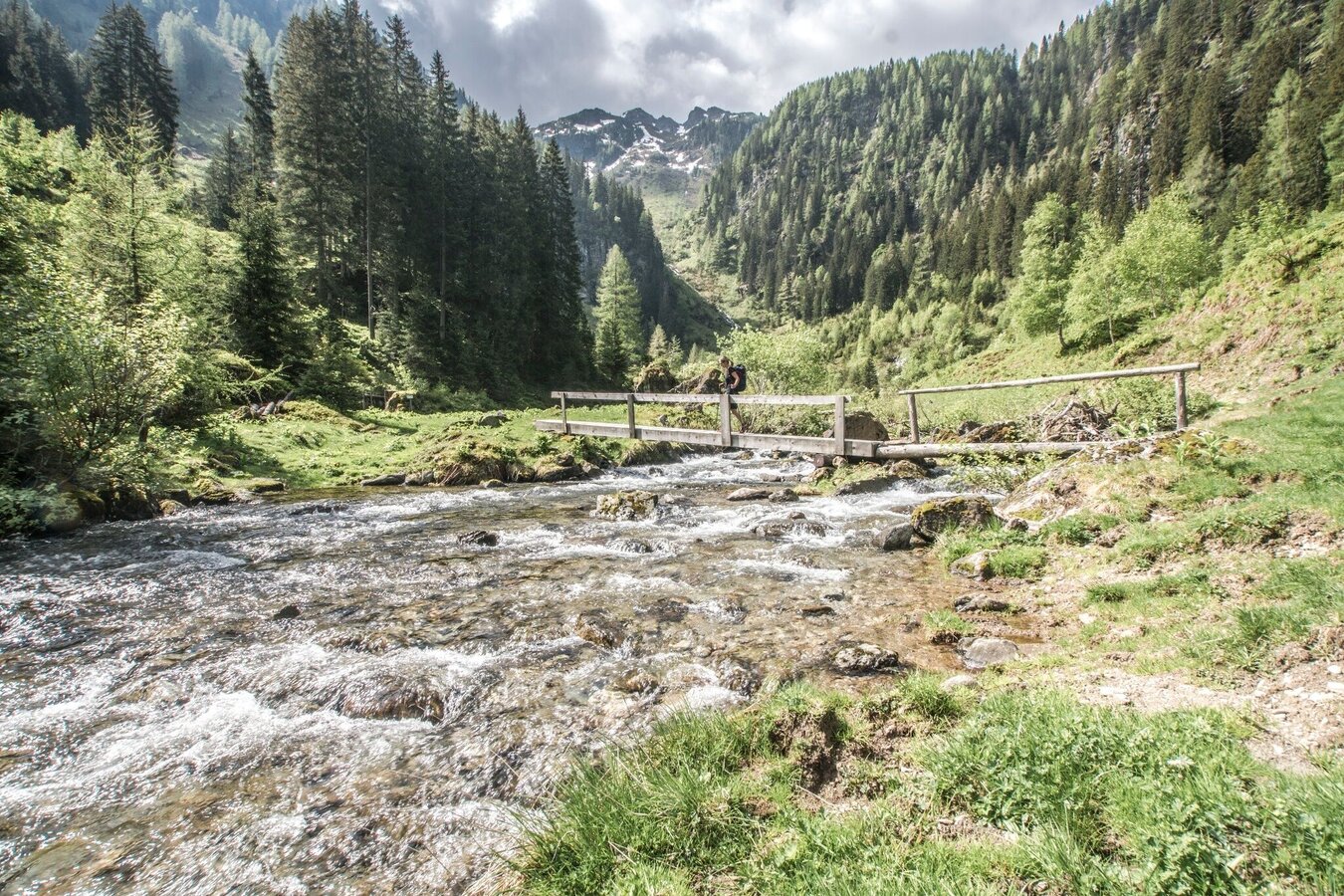
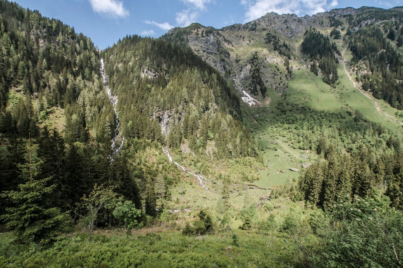
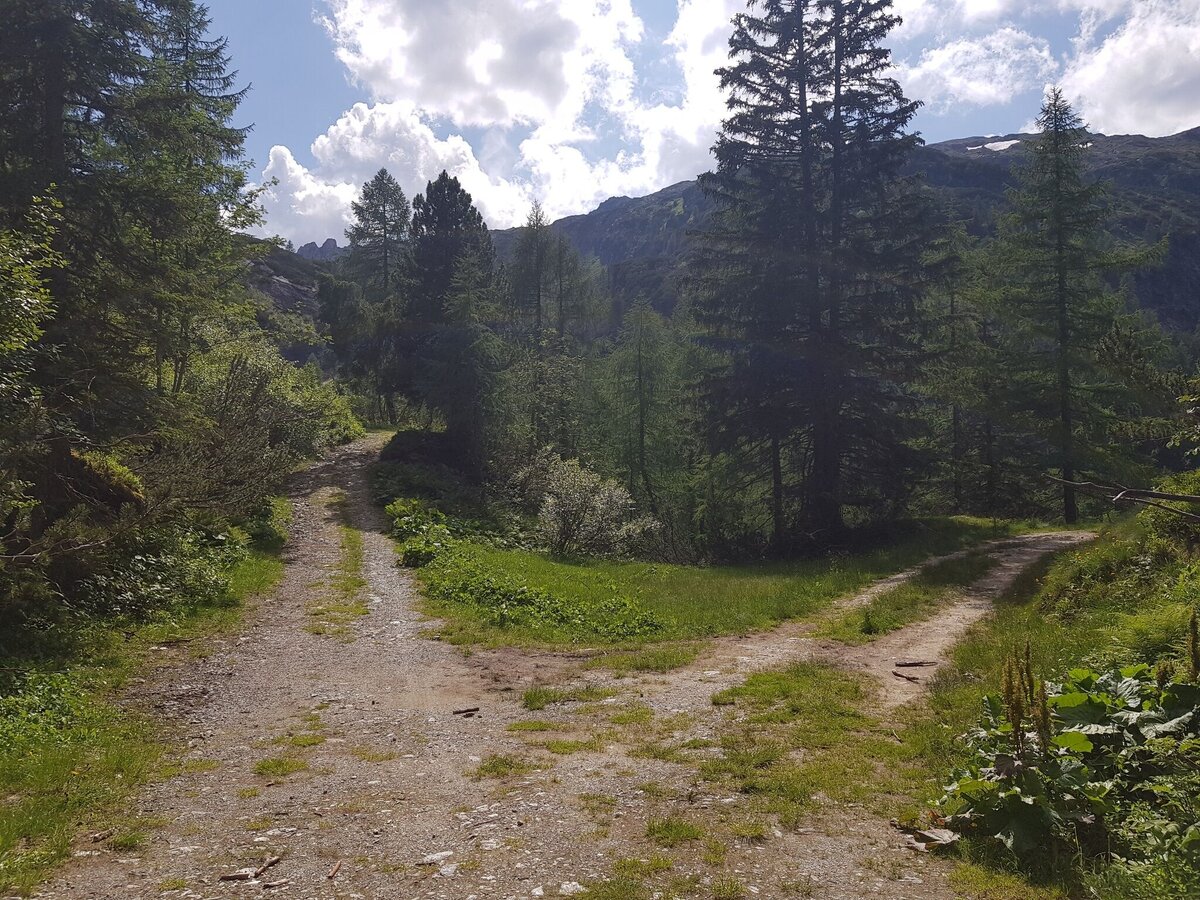
Trail no. 776 climbs moderately through the forest from the head of the valley, then crosses to the right below a rock step and you reach the other side of the Giglachbach stream via a bridge. Shortly afterwards you reach the (unmanaged) Lackneralm. Here you cross the stream again and continue along the forest path or the hiking trail (which cuts between the hairpin bends of the forest road) until you reach the Knappenkreuz (a memorial cross in honour of the mountain blessing and for the mining work in the Giglachtal) shortly before the Landauersee.
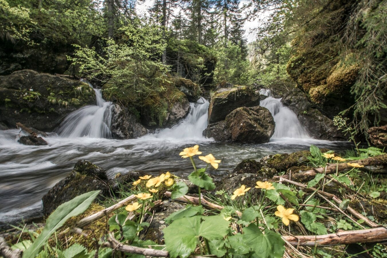
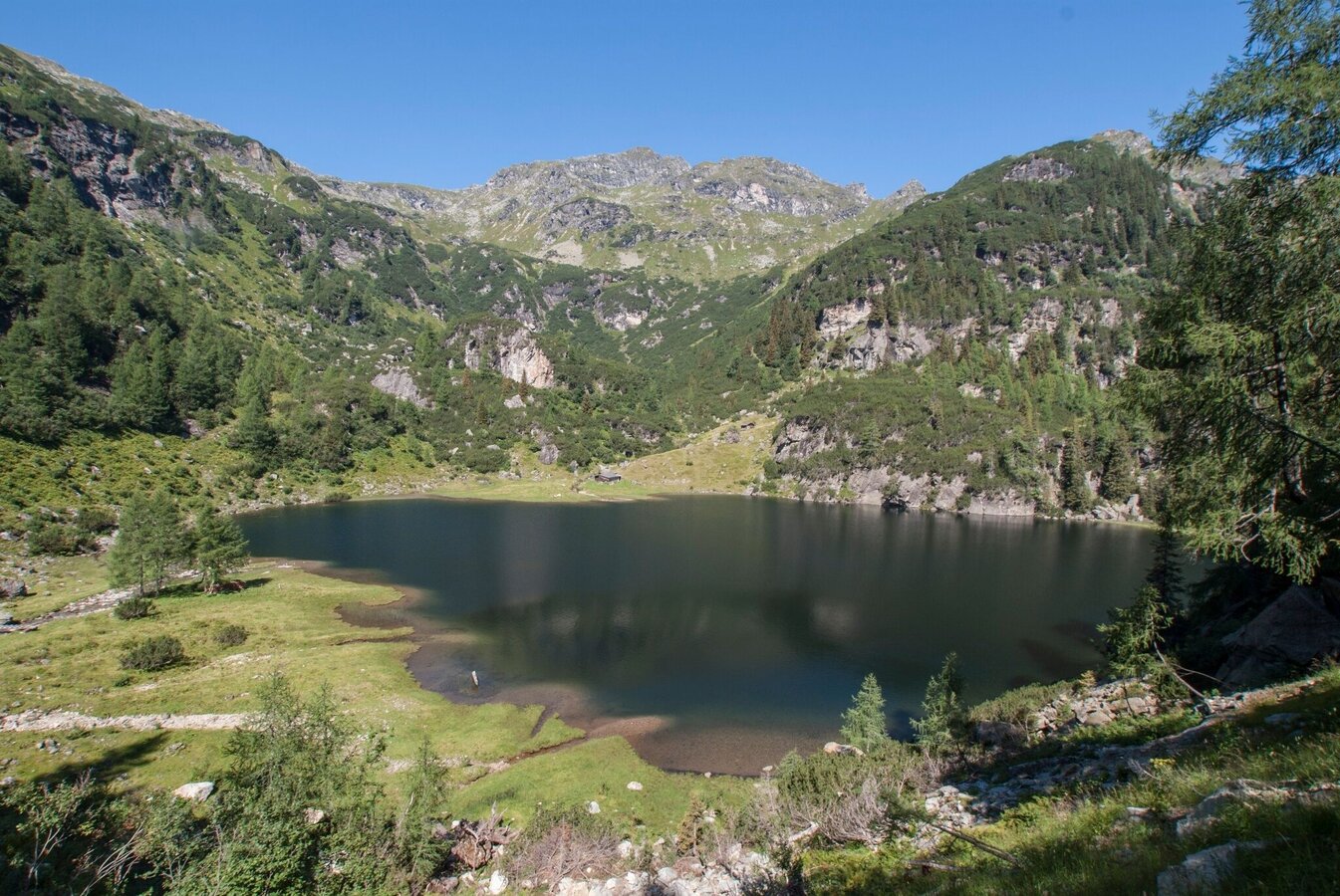
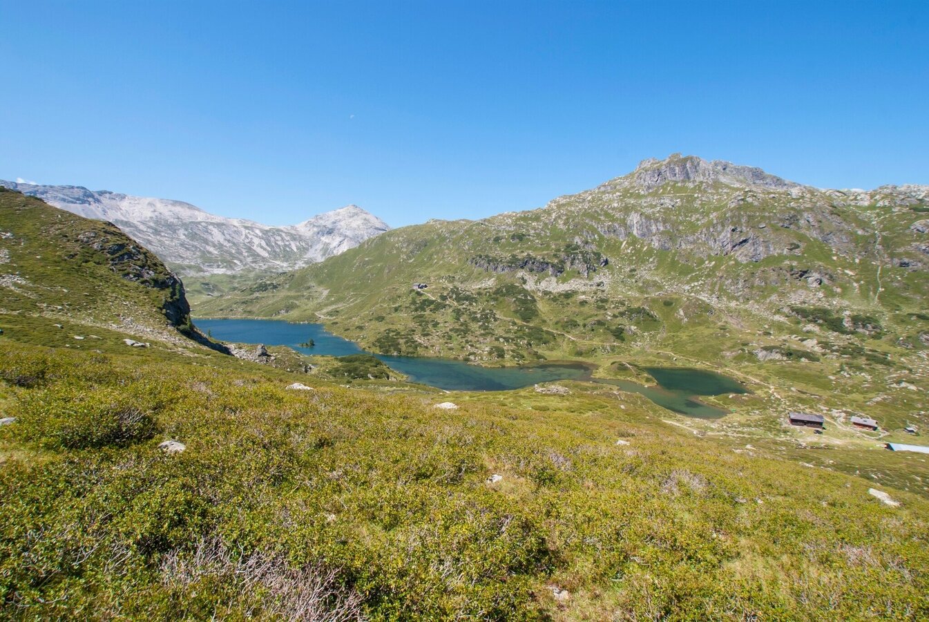
Continue along the wide path to the Giglachalmen, where the Giglachbach meanders beautifully through the alpine meadows. At the Giglachalmen huts, you cross the Giglachbach stream again and shortly afterwards cross back over to the other side of the stream at the crossroads with trail no. 775 (hiking trail towards Duisitzkarsee lake). From here it is only a few minutes' walk to the huts on the north-east shore of the Lower Giglachsee.
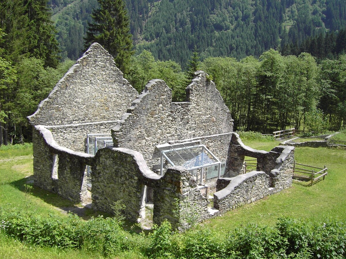
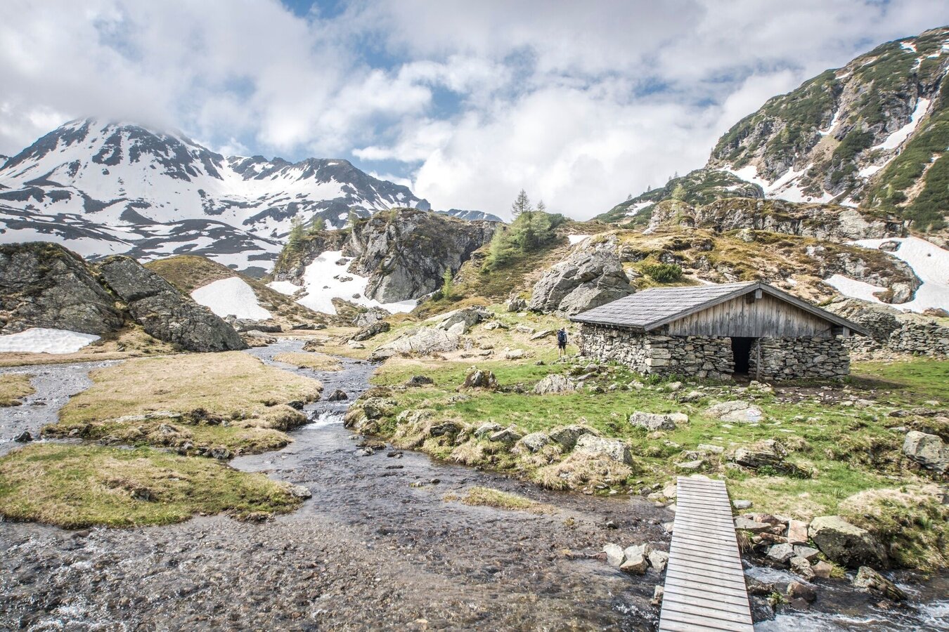
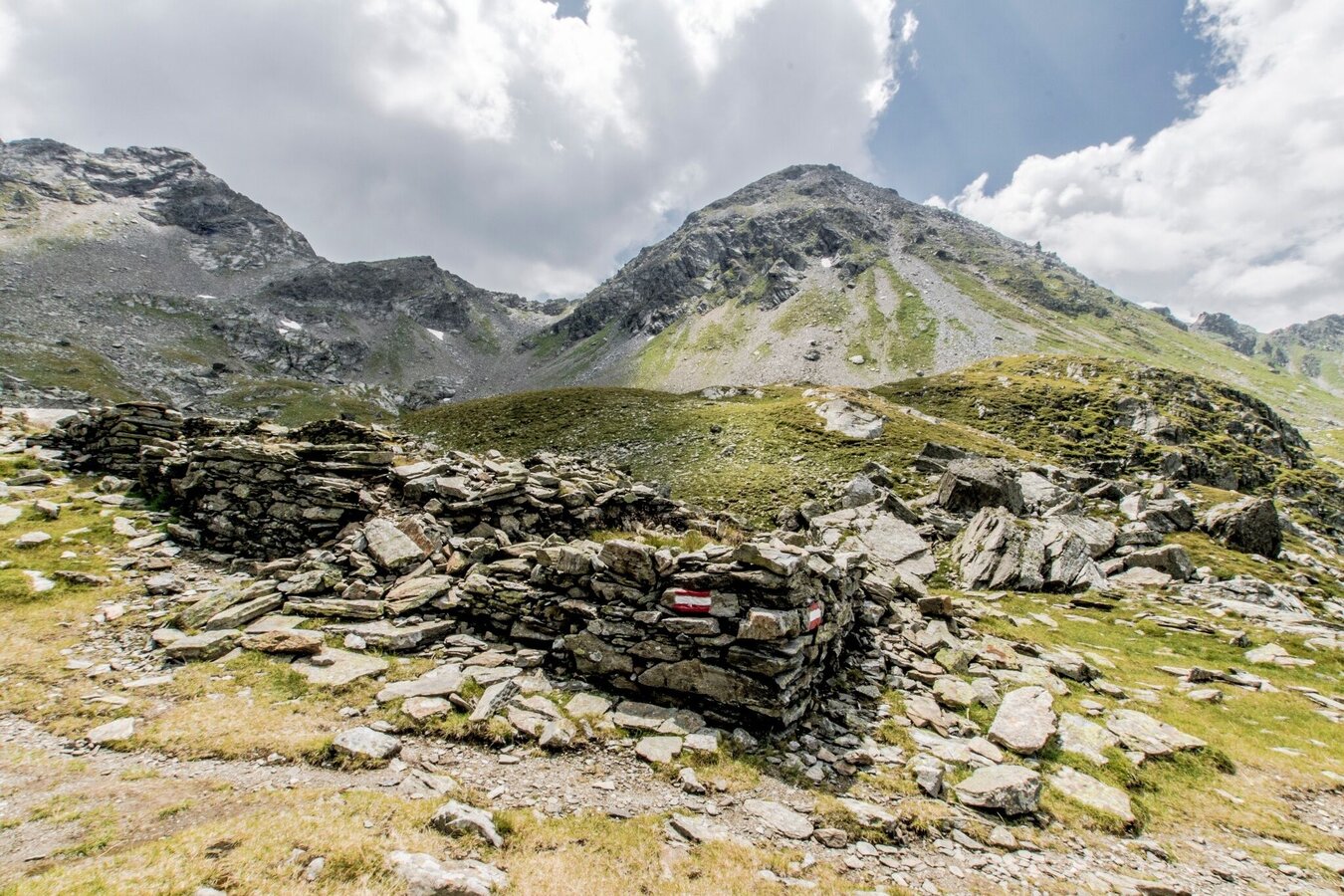
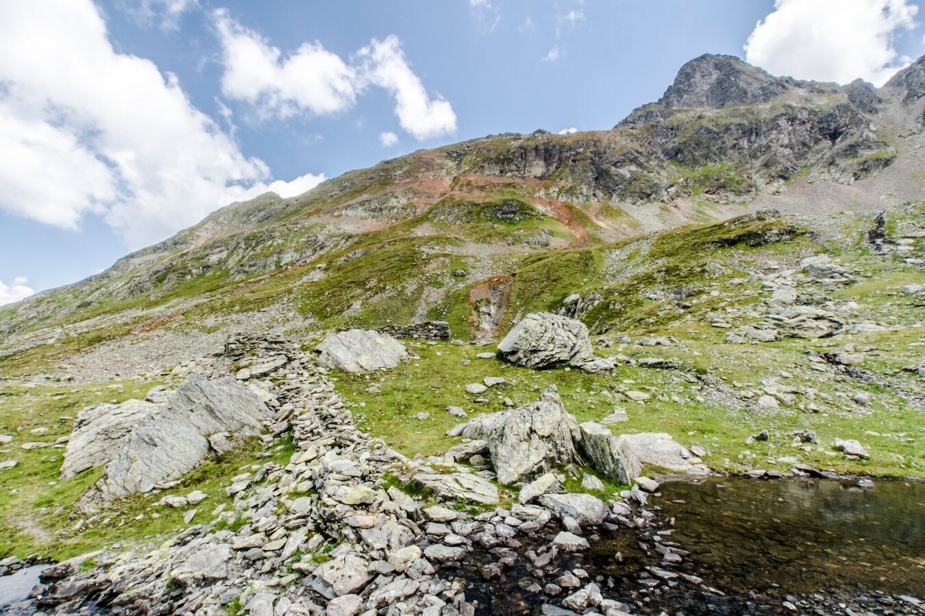
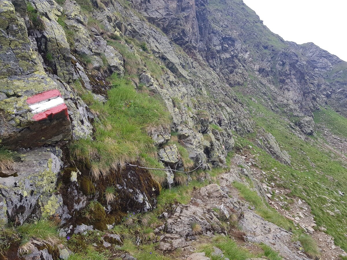
At the crossroads by the huts, continue along hiking trail no. 702 (Schladminger Tauern Höhenweg) in the direction of Vetternkar and Rotmandlspitze. The path climbs moderately up to the Vetternkar, where you will come across the remains of a miner's dwelling. To the left of the ruins, the path begins to become steeper and steeper and leads with a few hairpin bends to the Rotmandlspitze, the highest point of the tour at 2,453 metres. The route continues over the Rotmandlscharte and below the Sauberg over a large boulder slope slightly downhill to the Kruckeckscharte.
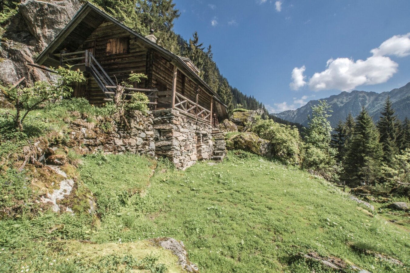
From the Kruckeckscharte, the route descends in large serpentines - with breathtaking views of the surrounding mountain scenery - to the Keinprechthütte, where you have well earned a break. From the Keinprechthütte, follow hiking trail no. 774 out of the valley to the (unmanaged) Neualm and then on to the Eschachalm in Obertal, from where the bus will take you back to Rohrmoos and Schladming.
With the Planai buses from Schladming (Planet-Planai, Lendplatz) or Rohrmoos (Rohrmoos-Zentrum) to Obertal - bus stop Hopfriesen. With the buses of the same line (from bus stop "Eschachalm") back to Schladming and Rohrmoos.
- Buses of Planai-Hochwurzen-Bahnen: www.planaibus.at
Changes in weather patterns, quick falls in temperature, thunderstorms, wind, fog and snow are some of the dangers that can be encountered on a hiking tour. Hosts of alpine huts and mountain refuges have a lot of experience in the mountains and can give good advice about weather and the trails. Poor equipment, overestimation of one's own capabilities, carelessness, poor personal constitution and/or wrong judgement can lead to critical situations. In case of thunderstorms: avoid summits, ridges and steel ropes.
GPS data and orienteering
Available GPS data - just like hiking maps - is only a guidance for orientation and can never depict a trail exactly with all its details. Especially at dangerous spots it is essential to judge on site how to proceed.
In an emergency please call:
- 140 - for Alpine emergencies (all over Austria)
- 112 - European GSM emergency number
Visit the Nickelmuseum at Hopfriesen. Information about opening times at www.wildewasser.com
Also visit Schladming's town museum to extend your knowledge on the mining history: http://museum.schladming.at
Tourist information: www.schladming.com
Information about bus schedules: www.planaibus.at
360° drone images
Get yourself an overview with our 360° drone images:
- View over Giglachkar cirque: https://vonoben.schladming-dachstein.at/sommer/index.php?S=307
- Giglachseen and Kalkspitzen summits: https://vonoben.schladming-dachstein.at/sommer/index.php?S=308
- Lower Giglachsee Lake and Vetternkar cirque: https://vonoben.schladming-dachstein.at/sommer/index.php?S=309
- Via Rotmandlspitze: https://vonoben.schladming-dachstein.at/sommer/index.php?S=310
- Hiking map ‘Hiking WEST’ available at the information offices in the region.
- Schladming hiking map, 1:25,000, available at the Schladming information office.
- Hiking map Schladming-Dachstein, 1:50,000, available at the information offices in the region.
- Hiking guide Schladming-Dachstein by Herbert Raffalt, available at the information offices in the region.


