
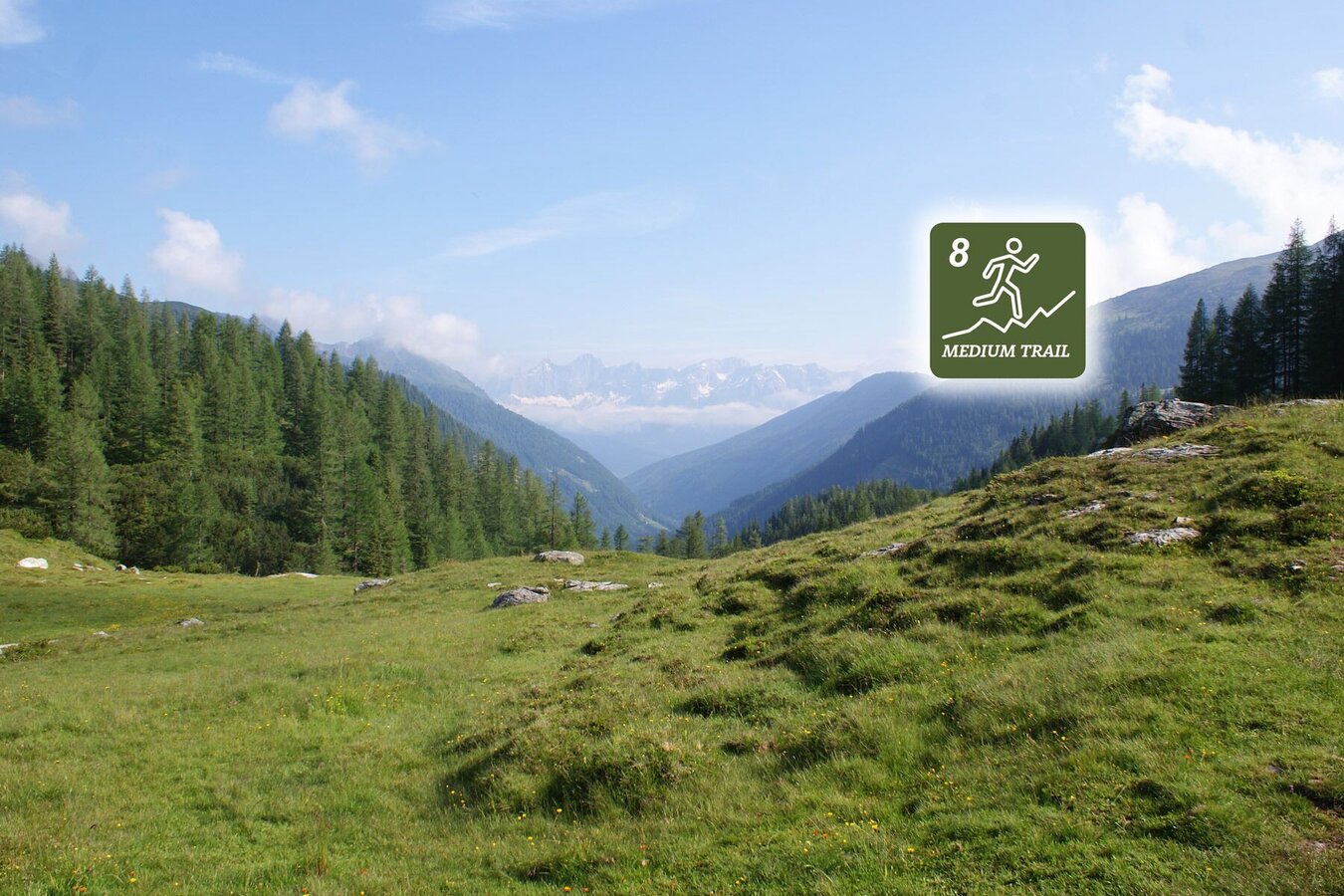
Laubschachen Trail
Tour description
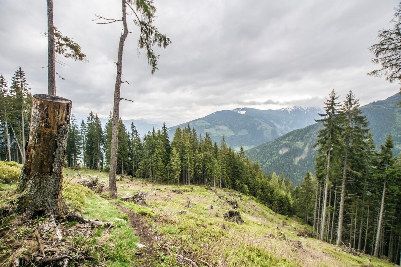
The trail running route "Laubschachen Trail" runs along the hiking route of the same name and is a trail of medium difficulty. About three quarters of the trail run along narrow trails in forests and over alpine meadows, while about one quarter takes you along forest roads and wider walking trails. During the first half of the run you gain elevation, running along the slopes of the Preuneggtal valley to "Latterfußsattel" - the mountain saddle between Roßfeld and Guschen mountains. From there, the second half of the trail takes you downhill to the valley terminal of Gipfelbahn Hochwurzen cable-car - half of that section along forest roads and wide walking trails, half of it on narrow hiking trails in the forest.
Advanced trail runners can combine Laubschachen Trail with various other trails and extend their runs:
- Variant 1: Start at Hochwurzen mountain terminal: Giglachseen Trail (#7) to Ursprungalm, followed by Laubschachen Trail (#8): a total of 1143 m in vertical gains, 1865 m downhill, 25.1 kilometers.
- Variant 2: Start at Hochwurzen valley terminal: Hochwurzen Trail (#6), followed by variant 1 (Trails #7 and #8): a total of 1865 m in vertical gains and downhill, 28.8 kilometers.
- Variant 3: Start with Laubschachen Trail (#8), from Hochwurzen valley terminal continue on Bernhard Knauß Trail (#3): a total of 642 m in vertical gains, 1226 m downhill, 19.5 kilometers.
- Variant 4: Start with variant 3 (Trails #8 and #3), at Obertalbahn valley terminal follow Rohrmoos Trail (#5) to Hochwurzen valley terminal: a total of 887 m in vertical gains, 1465 m downhill, 23.5 kilometers.
The tour
Map, elevation profile & further information
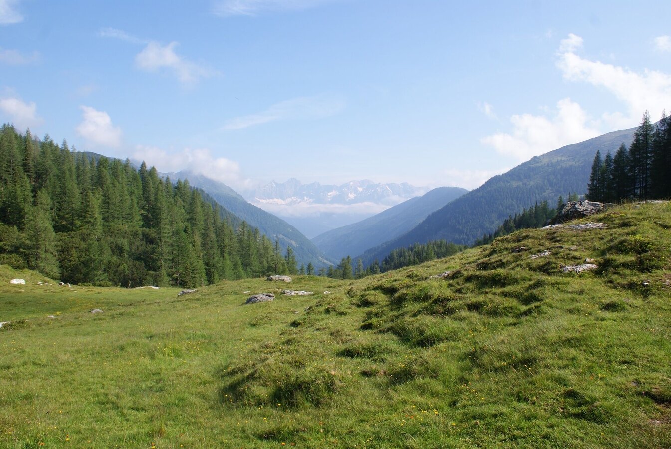
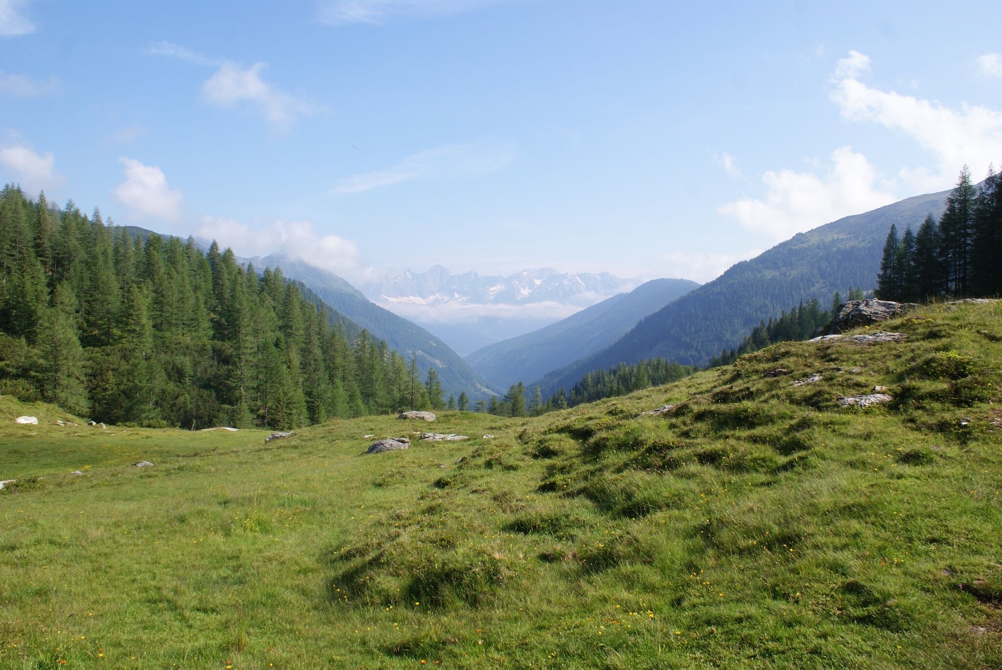
You start your run at Ursprungalm chalets, heading out of the valley along hiking trail #771, following the trail running signs with #8. The first section takes you across an alpine meadow, followed by about 1 km along a forest road. You continue through a longer section through the forest until you reach the alpine meadows around the Obere Moarhofalm chalet (private): take a look back to the valley head - the panoramic view with the summit of Steirische Kalkspitze is awesome!
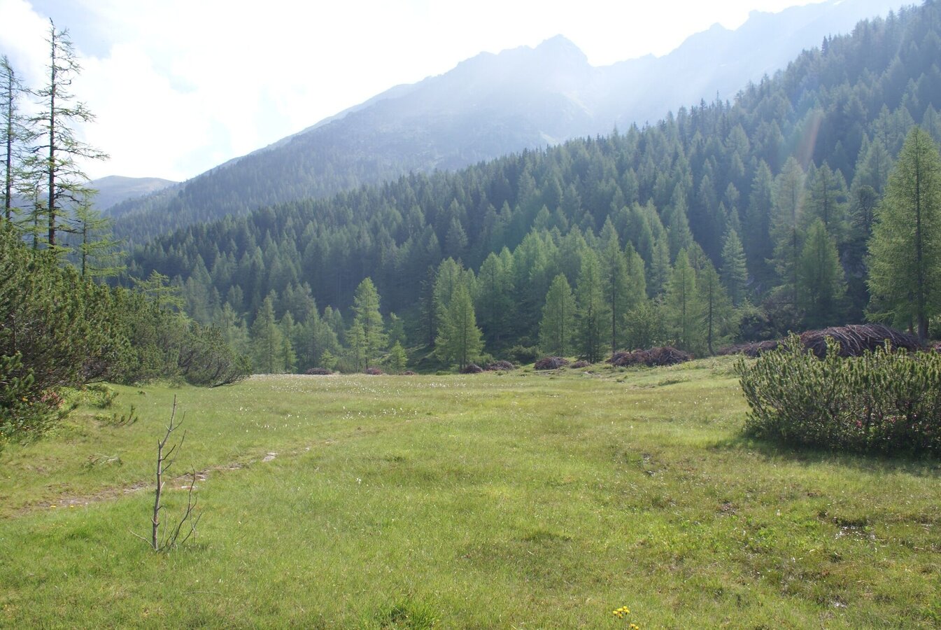
You continue - first through sparse, then thicker forest - running steadily uphill a bit until you reach another alpine meadow where Obere Neudeggalm chalet (private) is located. A couple of hundred meters after the chalet you reach a fork where you continue right and head up the mountain slope (trail run #8 and hiking trail #60) towards "Latterfußsattel". The trail now ascends a little steeper than before until you reach the mountain saddle.
You run across the saddle (trail run #8 and hiking trail #773) now running downhill towards Rohrmoos (Waldfrieden). You lose elevation while you continue on hiking trail #773 and soon reach a forest road (called "Hochweg"), which you now run along for about 1.5 kms out of the valley. Eventually you reach the trail crossing where hiking trail #61 meets with trail #773. You make a right there and run downhill through the sparse forest, once again reaching a forest road at a sharp turn. Immediately after the curve you turn off right into the forest again (trail run #8 and hiking trail #773), running down a beautiful forest trail to the "Schwammerlstadt" ("mushroom town" - an attraction of the mushroom theme trail for kids). There you make a left and run - slightly uphill and along the mushroom trail - to the valley terminal of Gipfelbahn Hochwurzen.
Hiking bus (# 972) from Planet Planai in Schladming via Rohrmoos to Ursprungalm in Preuneggtal valley.
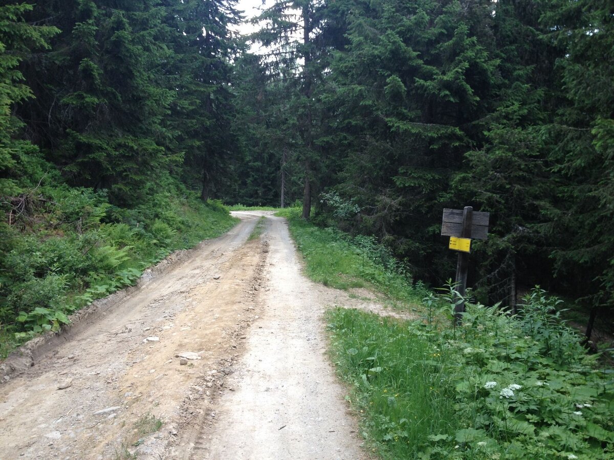
Laubschachen Trail is a combination of narrow trails with surface of forest floor, tree roots and alpine meadows (about two thirds) and wide trails/forest roads (about one third). The vertical gains are relatively moderate (about 300 m), while you lose over 750 m on the downhill sections. Therefore, runners need to be in good physical condition. Appropriate equipment and good tour planning are required.
Changes in weather patterns, quick falls in temperature, thunderstorms, wind, fog and snow are some of the dangers that can be encountered on a route in high alpine terrain. Hosts of alpine huts and mountain refuges have a lot of experience in the mountains and can give good advice about weather and the trails. Poor equipment, overestimation of one's own capabilities, carelessness, poor personal constitution and/or wrong judgement can lead to critical situations. In case of thunderstorms: avoid summits, ridges and steel ropes.
GPS data and orienteering
Available GPS data - just like hiking maps - is only a guidance for orientation and can never depict a trail exactly with all its details. Especially at dangerous spots it is essential to judge on site how to proceed.
In an emergency please call:
- 140 - for Alpine emergencies (all over Austria)
- 112 - European GSM emergency number
Very good trailrunning shoes required. Moreover, on this route, you should bring along at least the following basic equipment:
- hydration bladder
- first-aid kit
- energy bars
- rainwear
Possible trail combinations:
- followed by: Bernhard Knauß (#3) or/and Rohrmoos Trail (#5)
- before: Hochwurzen (#6) and/or Giglachseen Trail (#7)
360° drone images
Get yourself an "over"view :) with our 360° drone images:
- Area of Latterfußsattel mountain saddle: https://vonoben.schladming-dachstein.at/sommer/index.php?S=305
- Obere Neudeggalm (unterhalb Schneider): https://vonoben.schladming-dachstein.at/sommer/index.php?S=306
Further helpful links
Tourist information: www.schladming.com
Information about bus schedules (to Hochwurzen and Ursprungalm): www.planaibus.at
Information about cable-car operating hours (Gipfelbahn Hochwurzen): www.planai.at
- Tourist map "Hiking - Running - Walking", available at the tourist office Schladming.
- Hiking map Schladming, 1:25.000, available at the tourist office Schladming.
- Tourist map "Hiking - Running - Walking", available at the tourist office Schladming.


