
Dachsteinblick loop from Lessern
Tour description
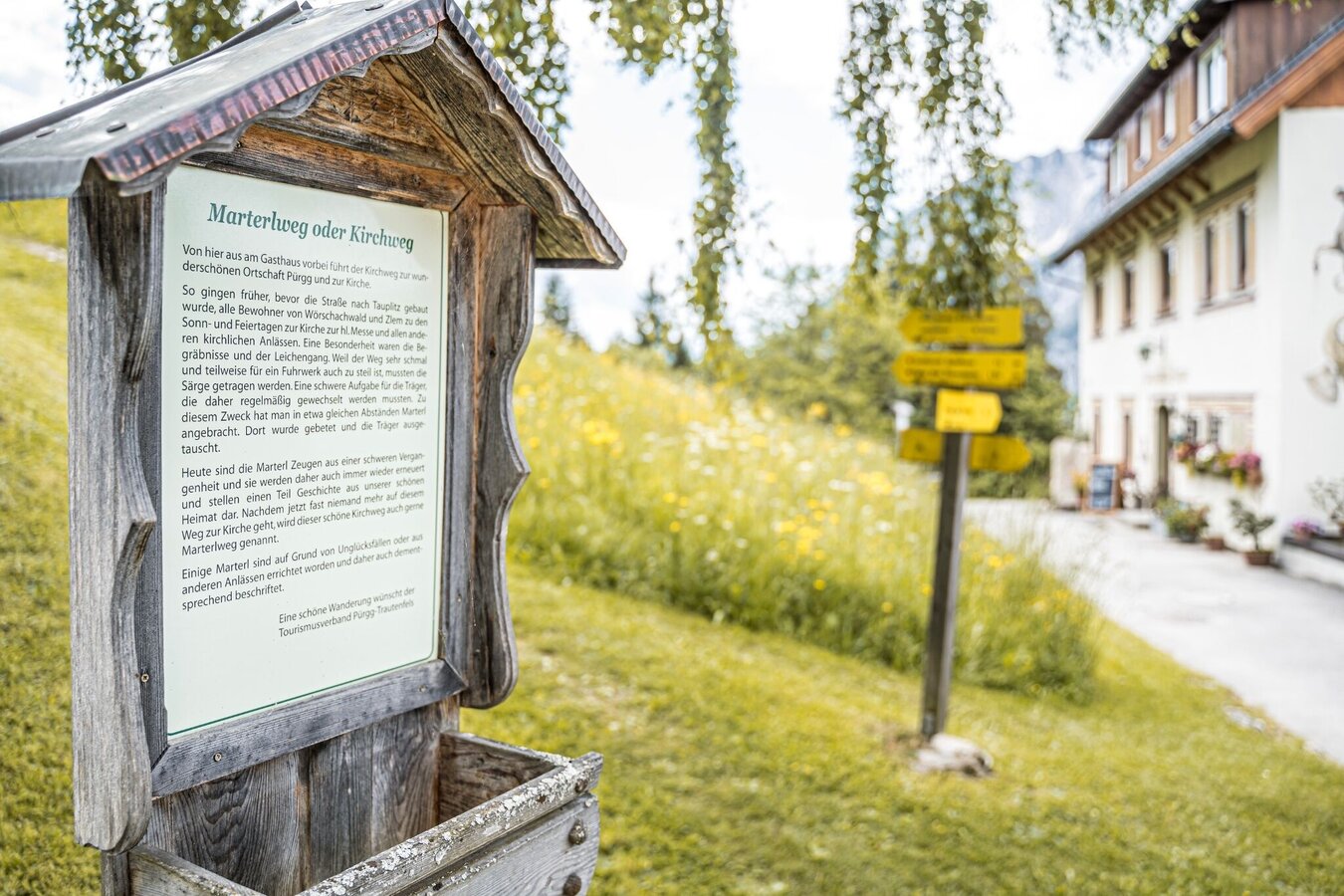
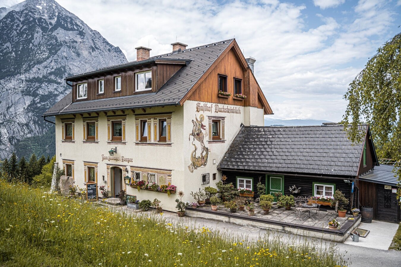
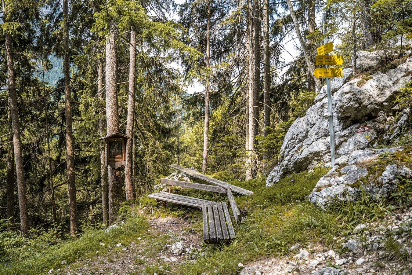
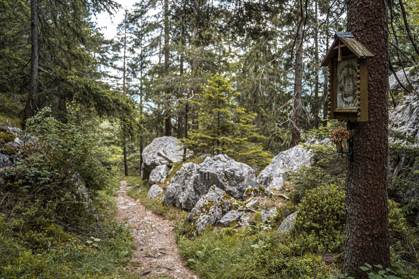
Short circular tour from the Lessern district up to the beautifully located Dachsteinblick inn. A section of the Marterlweg to Pürgg is also part of the route, where you will repeatedly come across small wayside crosses along the way. We return on a beautiful path above the Salzkammergutbahn.
The tour
Map, elevation profile & further information
Through Lessern follow the signs to Pürgg/Wörschachwald up to the railway underpass. Immediately after this you turn left onto hiking trail #288 to Gasthof Dachsteinblick. The wide path climbs quite steeply, but without any technical difficulties, and after about half an hour you reach the access road to the above. Poserer. Follow the road briefly to the left and then turn right again onto the hiking trail. Along the edge of the forest you can reach the Gasthaus Dachsteinblick in about 20 minutes. It’s a good place to stop off. From the inn you hike south along Marterlweg (#278). You walk slightly downhill along the wayside shrines and at the end of an S-curve to the right you reach the junction towards Poserer (possible variant to path #288). You follow the Marterlweg south to Pürgg until you come to a crossroads with path #10 in the forest. This leads you down - past a farm in the forest - near the railway line of the Salzkammergutbahn and along it back to Lessern.
Coming from Liezen or Schladming, take the exit towards Tauplitz (B145) at the Trautenfels traffic circle. Turn off directly at the village of Lessern and drive onto the signposted parking area.
Car parking Lessern
From Stainach-Irdning train station take bus number 950 to Lessern - Bundesstrasse stop. Timetable/times at www.verbundlinie.at
- Plan your tour in advance, taking into account walking time, route length, altitude difference, danger spots and weather forecast.
- Together is much more beautiful and at the same time safer in the mountains. Do not go alone, if possible, and adapt the tour to the ability of your group. Let someone know where you are going and when you want to be back. Also sign hut or summit books.
- Turn back in good time if the weather deteriorates. If you get caught in a thunderstorm, do not stay on the summit or ridge and stay away from individual trees. Wait out the storm, if possible in a crouching position.
- Stay on the marked trails and remember to close pasture fences again.
GPS data and orienteering
Available GPS data - just like hiking maps - is only a guidance for orientation and can never depict a trail exactly with all its details. Especially at dangerous spots it is essential to judge on site how to proceed.
In an emergency please call:
- 140 - for Alpine emergencies (all over Austria)
- 112 - European GSM emergency number
A well-packed backpack is helpful and especially when touring Alpine terrain a tuque, gloves, a windproof jacket and pants are standard equipment. Good, waterproof shoes, sun glasses, sun cream and sufficient beverages are essential too. Torch light, a map of the area, knie and a small first-aid kit should also be in the backpack.
From the inn you can take a short sidetrip up to the "Kleines Hörndl" view point.
Summer experience map Schladming-Dachstein EAST, available at the information offices in the region.


